01 Las Vegas Area Legendary Wilderness Adventures, Nevada
The word “legendary” refers to a wonderous, total immersion in the wilderness. The focus is not human achievement, but rather, the spectacular legendary wilderness! These Legendary Wilderness Adventures are marked by: Total immersion in the wilderness for the greater part of a day; Pathless routes to and beyond multiple landmark high points; and often, crossing from one major wilderness area to another through an artificial human boundary.
4 Peak Mt. Charleston Wilderness Circuit Adventure
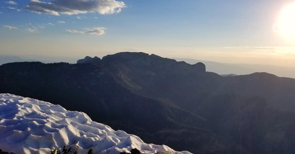
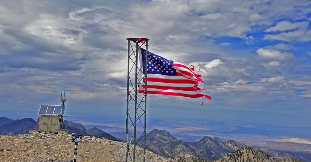
The 4-Peak Mt. Charleston Wilderness Circuit adventure outside of Las Vegas, Nevada is between 22 and 24 miles and includes over 6000ft elevation gain. I summited the peaks in the following order: Griffith Peak (11,056ft), Charleston Peak (11,918ft), Lee Peak (11,289ft) and finally, Mummy Mountain (11,528ft). Route details: 22 mi / Approx. 7,713 > 11,918ft; **Some Trail > Mostly Wilderness**Click image or title above for more…
6-Peak Circuit Adventure Spring Mountains Nevada
The 28-mile-long 6-peak circuit adventure in the Mt. Charleston Wilderness includes Harris Mountain (10,014ft), Griffith Peak (11,056ft), Charleston Peak (11,918ft), Lee Peak (11,289ft), Mummy Mountain (11,528ft), Fletcher Peak (10,319ft). In this initial attempt I made 4 out of 6 peaks. Route Details: 30 mi / Approx. 10,000ft Total Elevation Gain; **Some Trails, Some Wilderness** Click image or title above for more…
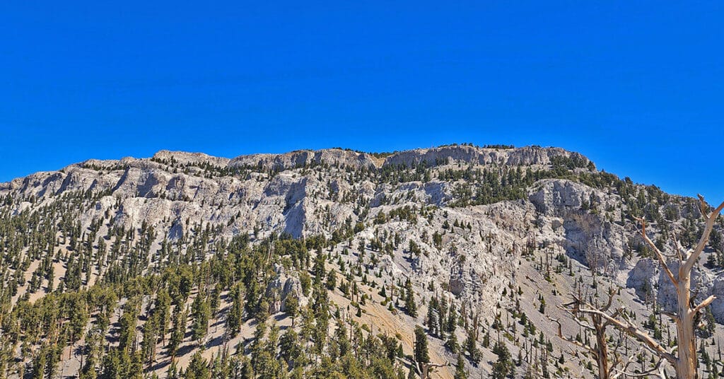
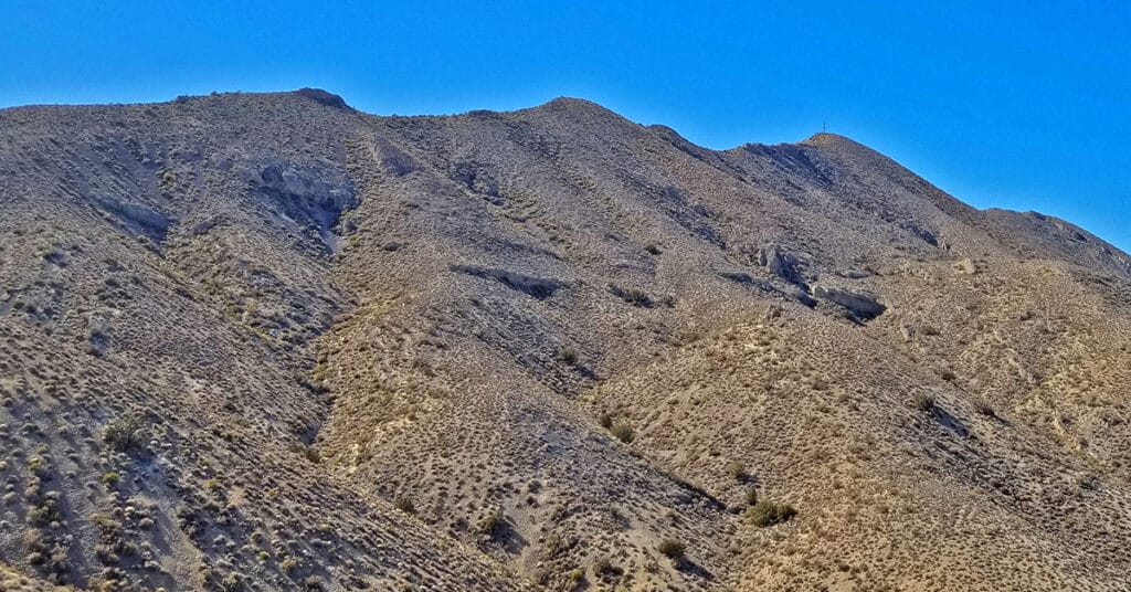
Fletcher Canyon / Fletcher Peak / Cockscomb Ridge Circuit | Mt Charleston Wilderness, Nevada
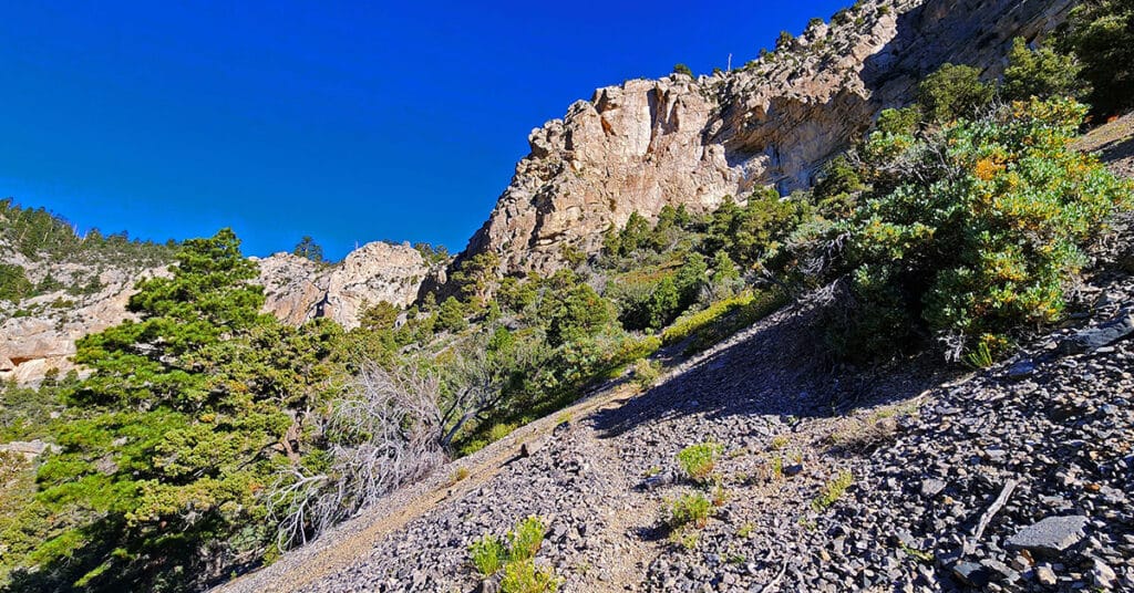
This circuit adventure begins at the Fletcher Canyon Trailhead, navigates up and above Fletcher Canyon to Fletcher Peak, then descends the Fletcher Peak Trail to the North Loop Trail, finally descends the Eastern wilderness below Cockscomb Ridge to the Stanley B. Springs mine and trail before returning to Fletcher Canyon Trailhead.
Gass Peak Grand Crossing | Desert National Wildlife Refuge | North of Las Vegas, Nevada
The Gass Peak Grand Crossing is a 30-40-mile ultra marathon distance on foot on a few roads, but mostly across desert wilderness canyons, ridges and avalanche slopes from the Desert National Wildlife Refuge visitor center off Hwy 95 Corn Creek Rd exit to the North end of Rainbow Avenue in Las Vegas. 6,937ft Gass Peak is the 5000ft elevation gain midway. The route begins at the Desert National Wildlife Refuge headquarters North of Las Vegas Nevada, heads up Mormon Well Road, turns onto Gass Peak Road, ascends the main Gass Peak trail off Gass Peak Road to the true, Eastern summit of Gass Peak, traverses the steep avalanche slope summit ridge of Gass Peak via what I refer to as “The Gass Peak Gauntlet” to the Gass Peak Mid Summit ridge, descends the mid summit ridge to a 4WD road on the lower Northern slopes of Gass Peak, circles around the West side of Gass Peak on that road and finally, navigates the desert to a conclusion at the very North end of Rainbow Avenue in Centennial Hills Las Vegas! Route details: 30-40 Miles, 5000ft Elevation Gain **Few roads and trails, mostly wilderness** Click image or title above for more…
Lee Peak | Charleston Peak via Lee Canyon Mid Ridge | Mt Charleston Wilderness | Spring Mountains, Nevada
Starting in Lee Canyon across from Upper Lee Meadows, ascend the gradual mid-ridge that begins there and connects with the Mt. Charleston North Loop Trail a little over a mile below Lee Peak. Take a right on the North Loop Trail to the final summit approach for Lee Peak summit. Deviate from the North Loop Trail to ascend to the Lee Peak Summit, then descend again to the North Loop Trail. Continue on the North Loop Trail to Charleston Peak summit. Take the Mt. Charleston South Loop Trail from Charleston Peak summit to the junction below Griffith Peak summit. Descend to the South Loop Trail and descend to the South Loop Trailhead just above Charleston Village. From there take a mountain bike stashed earlier at that trailhead and return to Upper Lee Meadows via Deer Creek Road and Lee Canyon Road. Route details: 35 mi Circuit/ Approx. 8,000 > 11,920ft; **Some Trail, Some Wilderness** Click image or title above for more…
Mummy Mt Grand Crossing | Foxtail Canyon > Mummy Summit > Deer Creek Road | Spring Mountains, Nevada
This adventure begins at the Foxtail Picnic Area in Lee Canyon, summits Mummy Mountain, descends the Eastern cliffs and Cougar Ridge Trail, then takes Deer Creek and Lee Canyon Roads back to the Foxtail Picnic Area. I recommend a base conditioning level of at least 5-miles running 4 times weekly along with one day topping 10-15 miles. Be altitude conditioned at the 11,000ft level, have wilderness navigation experience and ability to navigate very steep, long avalanche slopes. Route details: 18 mi RT/ Approx. 8,000 > 11,520ft; **Mostly Wilderness** Click image or title above for more…
