01 Calico and Brownstone Basins Nevada Overview
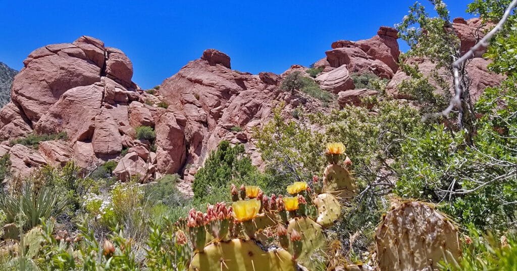
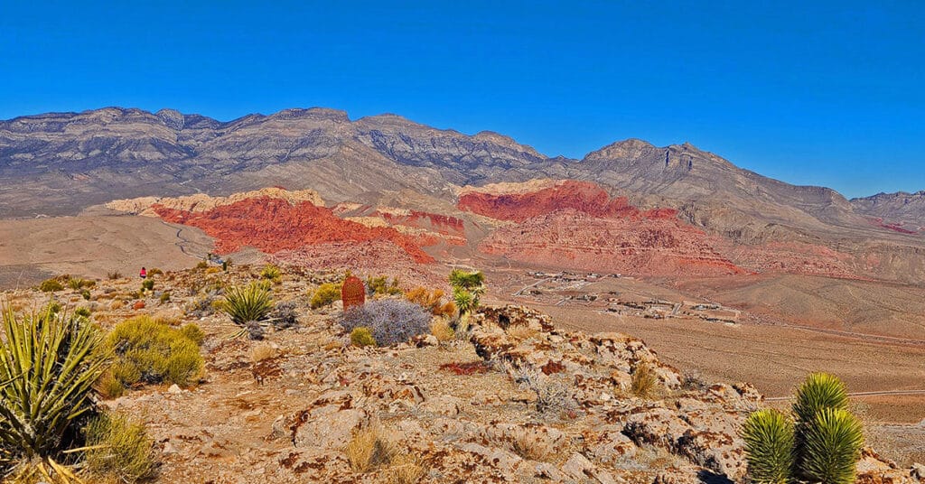
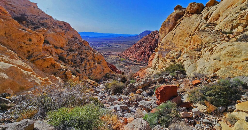
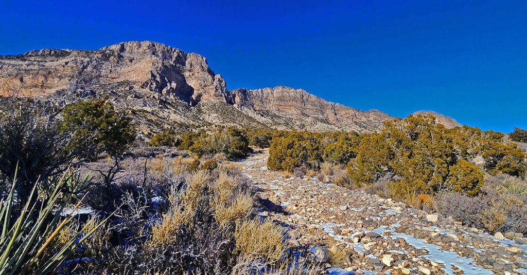
Calico and Brownstone Basins sit just East of Red Rock Park in Nevada. There are numerous Jurassic Era Aztec colorful red and white rock hills in and around the basin which makes it a great place to explore, hike, run and climb. Red Springs Desert Oasis in the lower basic is a nice picnic area with a mile-long interpretive board walk. Further up past a small residential community there is a trailhead parking area for hikers and runners exploring the hills and canyon washes of the basin, which are fairly wild and untouched. Best time of year for adventures here: Mid-Fall to early Spring below 5,000ft; Fall to Spring above 5000ft. Temperatures at the higher elevations are usually in the mid-70s during this time even when Las Vegas Valley is up to 95 degrees! Winter temperatures in the lower elevations can be in the mid-60s! Follow adventure thumbnail images on this page to view individual adventures in Calico Basin. Follow thumbnail images to view the details you will need to plan your adventures here. Click image or title above for more…
3 Basin Circuit | Red Rock Canyon, Nevada
Experience 3 incredible Southern Nevada wilderness areas in one great adventure. This circuit begins in the Calico Basin, rounds the South side of the Calico Hills, heads North to upper Red Rock Canyon, circles over to Brownstone Basin then finally descends to the starting point in Calico Basin. Click the image or title above for more details.
Ash Canyon to Calico Tanks | Calico Basin, Nevada
Beginning at the Kraft Mountain Trailhead in Calico Basin, ascend to the summit of Ash Canyon on the Ash Canyon Trail. Descending from Ash Canyon Summit connect with the Rattlesnake Trail and continue to the Calico Tanks Trail. After visiting Calico Tanks return to the Rattlesnake Trail. Ascend to the summit of that trail then descend into Gateway Canyon in the Calico Basin. Ascend Hell Hill Trail on Kraft Mountain to Pink Goblin Pass and finally descend to your starting point at the Kraft Mountain Trailhead. Experience spectacular views of 4 major wilderness areas and much more. Route Details: Approximately 10 miles RT on some fairly good trails and some unmarked sketchy trails. Best time for this adventure: Mid Fall through Mid Spring.
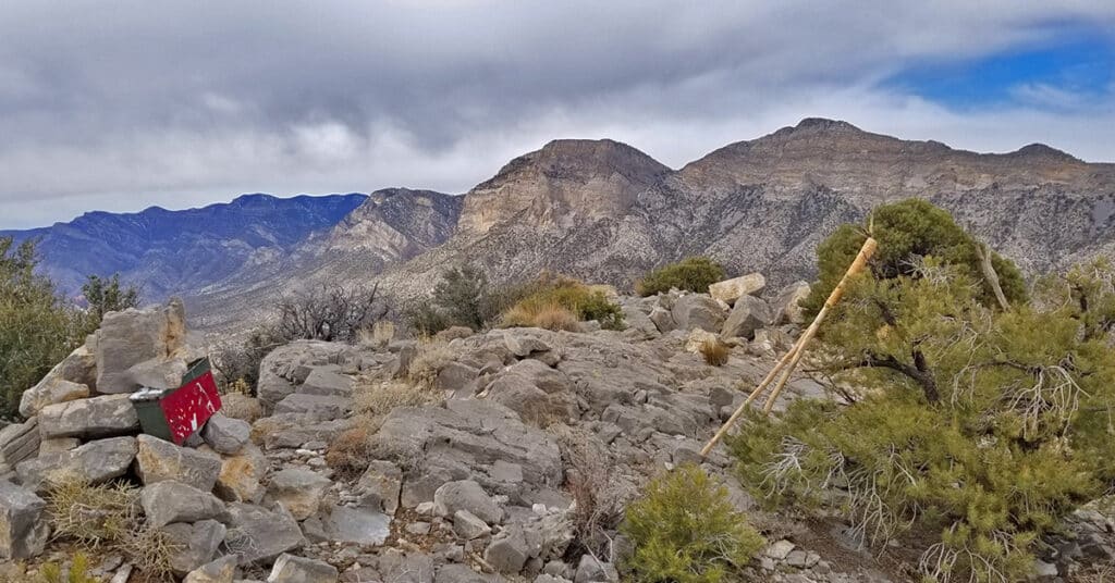
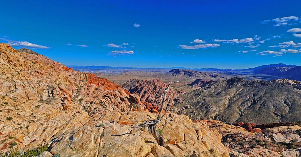
Brownstone Trail | Calico Basin | Brownstone Basin | La Madre Mountains Wilderness, Nevada
The Brownstone Trail adventure spans Nevada’s Calico Basin, Brownstone Basin and La Madre Mountains Wilderness. Along the way, there are spectacular views of the La Madre Mountains Ridgeline, Damsel Peak, the Las Vegas Valley and Strip and the Jurassic Era calico sandstone Gray Cap Ridge. Click the image or title above for more detail.
Calico Basin Daily Workout Trails | Calico Basin, Nevada
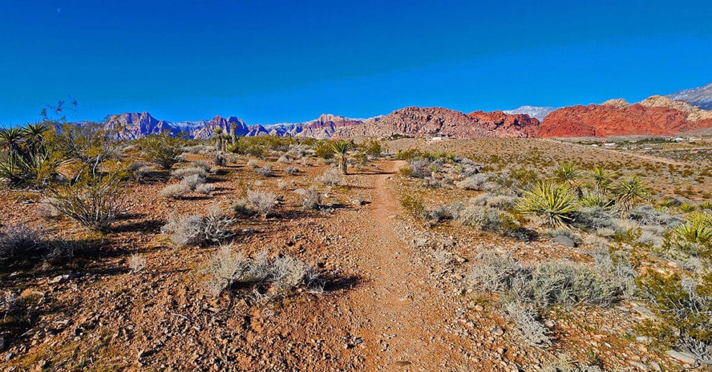
This extensive network of trails in the lower Calico Basin, Nevada, is an awesome setting for daily conditioning workouts whether your sport is hiking, trail running or mountain biking. The trail system is just a few miles from metropolitan Las Vegas, making access convenient. Work out year-round in a natural setting on a healthy running surface. Build strength, endurance, flexibility and agility! Click the image or title above for more details.
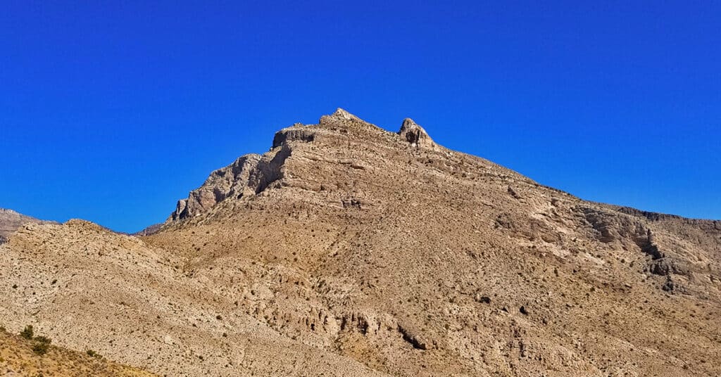
Damsel Peak Loop | Brownstone Basin, Nevada
This complete loop of Damsel Peak’s base in the Brownstone Basin, Nevada searches for previously unknown summit routes to the summit.
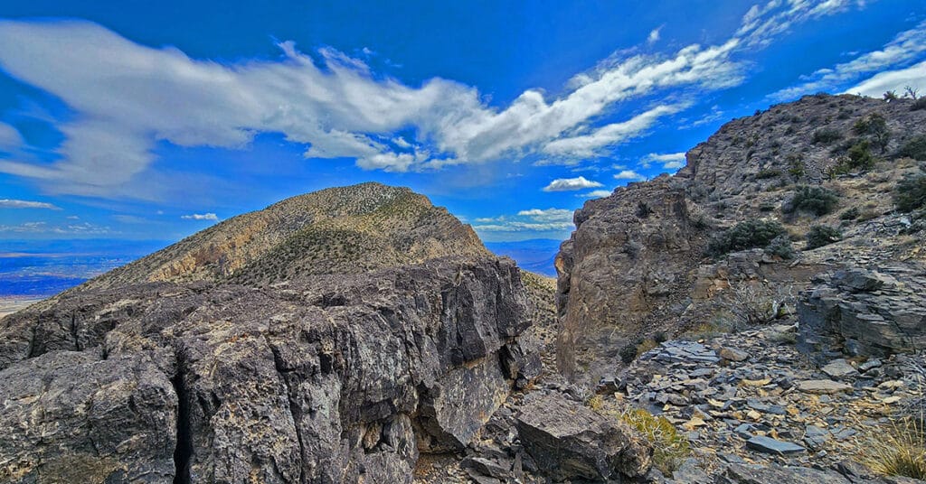
Damsel Peak Northern Approach | Red Rock Canyon National Conservation Area, Nevada
From the top of Damsel Peak outside of Las Vegas, Nevada one can see almost all of the Las Vegas Valley in the same way that Damsel Peak is visible from just about anywhere in Las Vegas Valley. In addition, there is an awesome view of the entire Calico Basin, Turtlehead Peak, the Calico Hills, Mt. Wilson, Rainbow Mountain, Juniper Peak, North Peak and Bridge Mountain and finally the huge expanse of the Keystone Thrust cliffs with La Madre Mountain as the high point. To the North one can see Gass Peak, the Sheep Range and Fossil Ridge. Route details: 16 mi Start Sandstone Quarry Red Rock | 4370 > 6977ft; **Wilderness, No Trail** Click image or title above for more…
Damsel Peak Southeastern Slope | Calico & Brownstone Basins, Nevada
Adventure from the Kraft Mountain Trailhead and through the Calico & Brownstone Basins to just below Damsel Peak’s Southern Pinnacle in Nevada. Damsel Peak’s (aka Pincushion Peak’s) beautiful Southeastern slope offers spectacular views of Little Red Rock, Summerlin’s new growth edge, Las Vegas all the way to Frenchman Mountain, Lake Mead and further points East. Click the image or title above for a video, photos and more detail.
Damsel Peak Southern Approach Route from Calico Basin, Nevada
The Southern approach to the summit of Damsel Peak (aka Pincushion Mt) in Nevada begins at the trailhead parking area in Calico Basin, navigates to the South side of Damsel Peak, traverses to the North side, descends into Brownstone Basin then navigates back to the starting point in Calico Basin. Incredible views from the summit of Damsel Peak include almost all of the Las Vegas Valley, Brownstone and Calico Basins, Turtlehead Peak, the Calico Hills, Mt. Wilson, Rainbow Mountain, Juniper Peak, North Peak and Bridge Mountain and finally the huge expanse of the Keystone Thrust cliffs with La Madre Mountain as the high point. To the North one can see Gass Peak, the Sheep Range and Fossil Ridge. Route details: Approx 15 mi RT; **No Trails, Some Class 3 Climbing** Click image or title above for more…
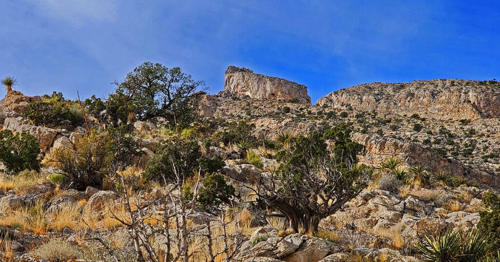
Gateway Canyon & Gray Cap Ridge NW | Calico Basin, Nevada
Wander through a unique, hidden world in the Northwest area of Gray Cap Ridge. Gateway Canyon will whirl you around and by the time you emerge into the Northwest area of Gray Cap Ridge you may wonder if you’d landed in another dimension! Finding a non-vertical way down into the Brownstone Basin can be a real puzzle, but great fun. Click the image or title above for details.
