Death Valley National Park | Wilderness Windows Overview
(Click Through to Individual Trails and Wilderness Routes Below)
(Mileage Below is Round Trip. Altitude and Mileage are Approximate)
Why is Death Valley on Las Vegas Area Trails website? You can get to the center of Death Valley from Centennial Hills in Las Vegas in less than 2 hours! Yes, Furnace Creek Ranch via Hwy 95 North to Beatty, then to Furnace Creek is 2 hours or less by car! Let’s imagine a 5-hour round trip to and from your destination in Death Valley. This could leave you 8 hours or more of adventure at your destination in Death Valley! Long day, but well worth it! Hey, what else are you going to do in one day that will create such a life memory?
Death Valley in a Day
Quick Tour of Major Points of Interest
**A Few Trails, Some “Park and View” Areas**
West Death Valley
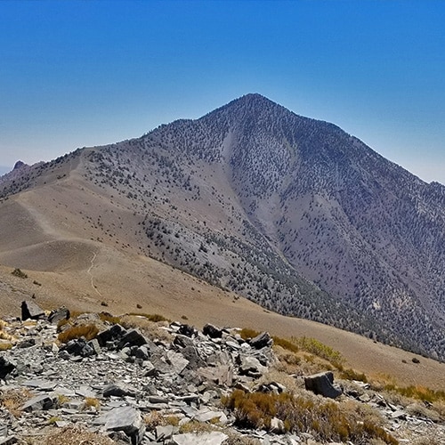
Telescope Peak
Rogers and Bennett Peaks
19 mi Roads, Trails (mostly), Wilderness
6800ft > 11,043ft **Mostly Excellent Trails**
Wildrose Peak
8.4 Miles RT, 6,800 > 9,064ft **Excellent Trail**
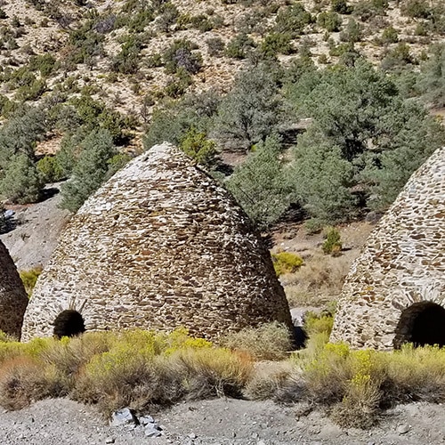
Wildrose Charcoal Kilns
6,800ft **View at Parking Area**
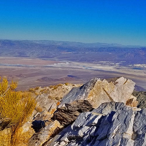
Aguereberry Point
Approx. 12 Miles RT
4,800 > 6,433ft **Unpaved Road 2WD When Freshly Graded**
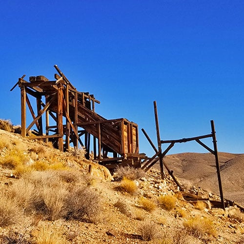
Eureka Mine
Approx. 4 Miles RT
2-300ft Elevation Gain **Good Unpaved Road**
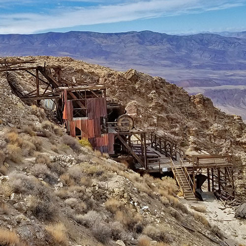
Skidoo Stamp Mill
18 Miles RT
5000 > 5700ft **Good Unpaved Road**
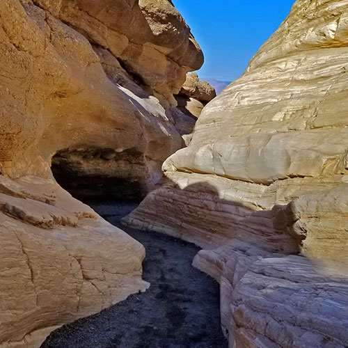
Mosaic Canyon
Approx. 2-4 Miles RT
Approx. 900 > 2,000ft **Good Canyon Trail**
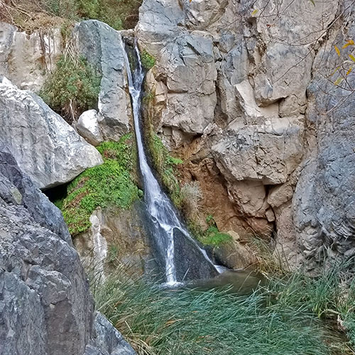
Darwin Falls
2-Mile RT
approx. 2500 > 2700ft **Good Trail, Sketchy Near Falls**
East Death Valley
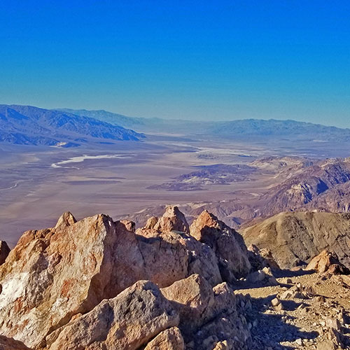
Dante’s View to Mt. Perry
Approx. 8 Miles RT
5,575 > 5,738ft **Well Established Trail**
Tea House & Table Rock
Approx. 2-4 Miles Circuit
-190 > about 300ft **No Trails, Navigate Desert**
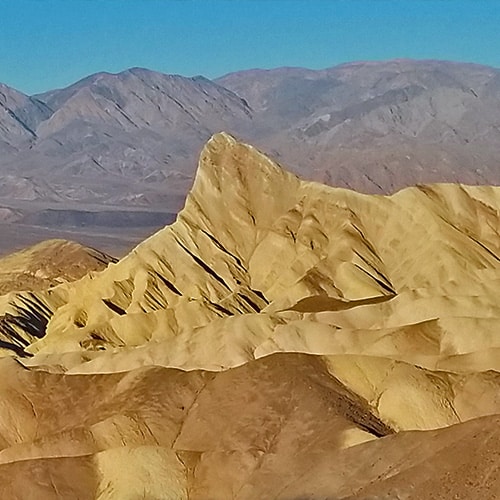
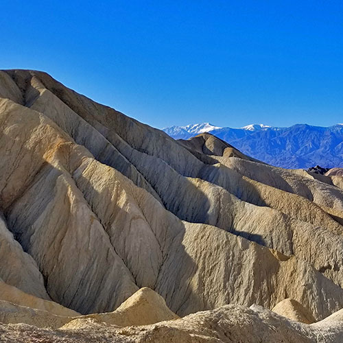
Golden Canyon to Zabriskie Point
Approx. 8 Miles Circuit
535 > about 834ft **Well Marked & Traveled Route**
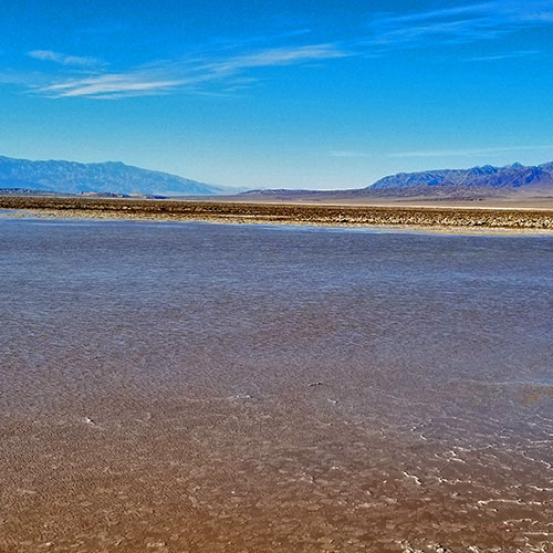
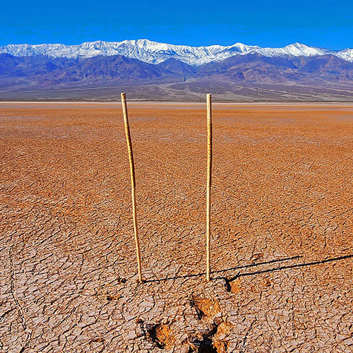
Return of Lake Manly
Approx. 2 Miles RT
-180 > about -220ft **No Trails, Easy to Locate and Navigate**
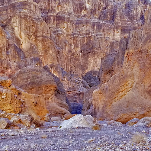
Lower Fall Canyon
Approx. 6 Miles RT
2,460ft Elevation Gain **Rocky Canyon Wash Trail**
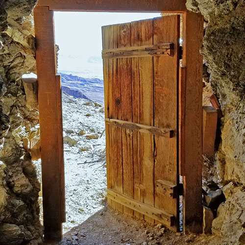
Keane Wonder Mine
Approx. 4 Miles RT
1,500ft Elevation Gain **Good Trail Almost All the Way**
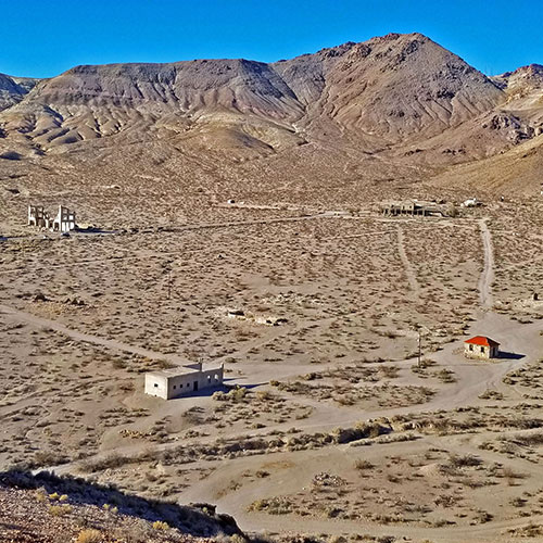
Rhyolite Ghost Town
Approx. 1-2 Miles RT
100ft Elevation Gain **Wander Around the Town**
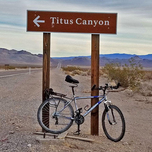
Titus Canyon Grand Loop by Mountain Bike
Approx. 66 Miles
7,000ft Elevation Gain
**1/2 Asphalt Rd, 1/2 Unpaved Rd**
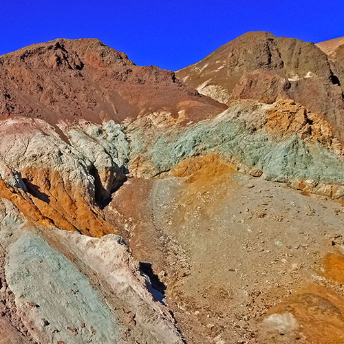
Artists Drive Hidden Canyon Hikes
4 Hikes Approx. 6 Miles Total
**Elevation Gain 300ft | Ridge and Canyon Wash Trails**
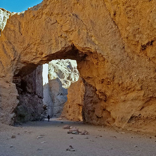
Natural Bridge Canyon
Approx. 4 Miles RT
500ft Elevation Gain **Canyon Wash Route**
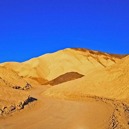
Twenty Mule Team Canyon
Approx. 4 Miles Loop
500ft Elevation Gain **Unpaved and Paved Roads**
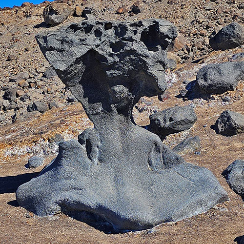
Mushroom Rock
Roadside Stop North of Artist’s Drive on Badwater Road
Mesquite Grove
Stretches Over 8 Miles from South of Golden Canyon to North of Furnace Creek
Death Valley Crossing
16 Mile + RT | Desert Floor from Badwater to Hanaupah Canyon
South Death Valley
Sidewinder Canyon
8-10 Miles Based on Side Canyon Choices
**Elevation Gain Approx. 800ft | Canyon Wash Trails**
Willow Canyon
Approx. 4 Miles Out and Back
500ft Elevation Gain **Canyon Wash Route**
Adventures in Process
Additional Projected Adventures
Choride Cliff
Sentinel Peak
Porter Peak
Trail Canyon
Johnson Canyon
Galena Canyon
Warm Spring Canyon
Goler Canyon
Pleasant Canyon
Cottonwood Canyon
Marble Canyon
Tule Canyon
Red Wall Canyon to Mt. Palmer
Phinney Canyon to Grapevine Peak and Wahguyhe Peak
Mustard Canyon
Saratoga Spring
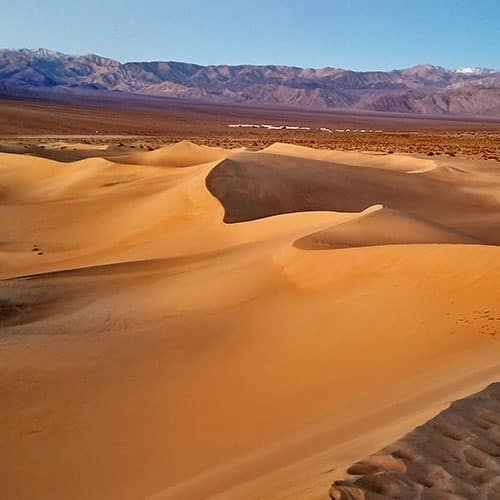
Panamint Dunes
Natural Bridge Canyon to Dante’s View
Corkscrew Peak
Panamint City Ghost Town
Ballarat Ghost Town


