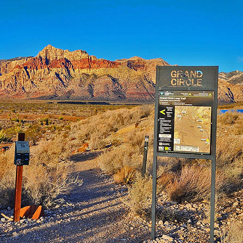
Calico & Brownstone Basins, Nevada | Overview Calico Basin Entrance Sign with Rainbow Mountains as Backdrop Calico & Brownstone Basins, Nevada | Overview
Red Springs Desert Oasis
Calico & Brownstone Basins, Nevada | Overview
Grand Staircase
Calico & Brownstone Basins, Nevada | Overview
Grand Circle
Calico & Brownstone Basins, Nevada | Overview
Kraft Mountain Loop
Calico & Brownstone Basins, Nevada | Overview
Kraft Mountain / Gateway Canyon / Turtlehead Peak Loop
Calico & Brownstone Basins, Nevada | Overview
Damsel Peak Northern Approach from Sandstone Quarry Red Rock Canyon
Calico & Brownstone Basins, Nevada | Overview
Damsel Peak Southern Approach from Calico Basin
Calico & Brownstone Basins, Nevada | Overview Calico Basin to Ash Canyon & Calico Tanks
Grand Staircase | Calico Basin, Nevada Grand Circle | Calico Basin, Nevada Kraft Mountain Loop | Calico Basin, Nevada Red Springs Desert Oasis | Calico Basin, Nevada Kraft Mountain / Gateway Canyon Loop | Calico Basin, Nevada Damsel Peak Northern Approach | Brownstone Basin, Nevada Damsel Peak Southern Approach | Brownstone Basin, Nevada View Down Ash Canyon to Ash Spring, Calico Basin and Beyond | Ash Canyon to Calico Tanks | Calico Basin and Red Rock Canyon, Nevada | David Smith | Las Vegas Area Trails Calico Basin Entrance Sign with Rainbow Mountains as Backdrop | Ash Canyon to Calico Tanks | Calico Basin and Red Rock Canyon, Nevada | David Smith | Las Vegas Area Trails
↑ Slide Guide ↑              ↑ Slide Guide ↑

Calico & Brownstone Basins Overview, Nevada

(Click Through to Individual Trails and Wilderness Routes Below)

(Mileage Below is Round Trip. Altitude and Mileage are Approximate)

What’s Amazing About the Calico and Brownstone Basins?

Where is the Calico Basin?

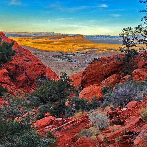
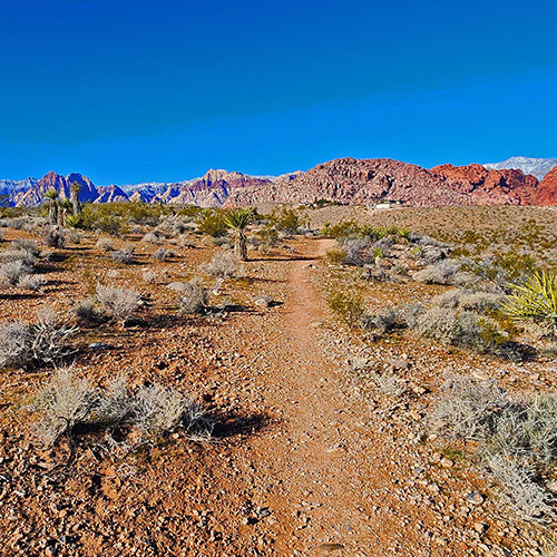
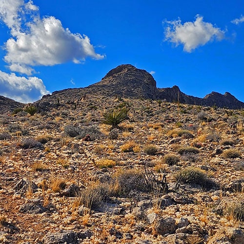
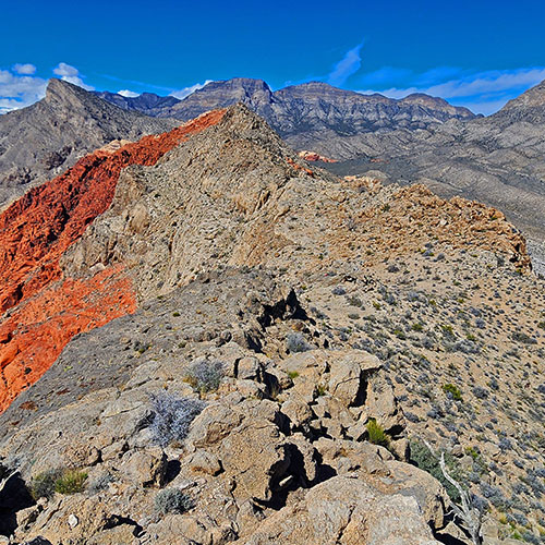
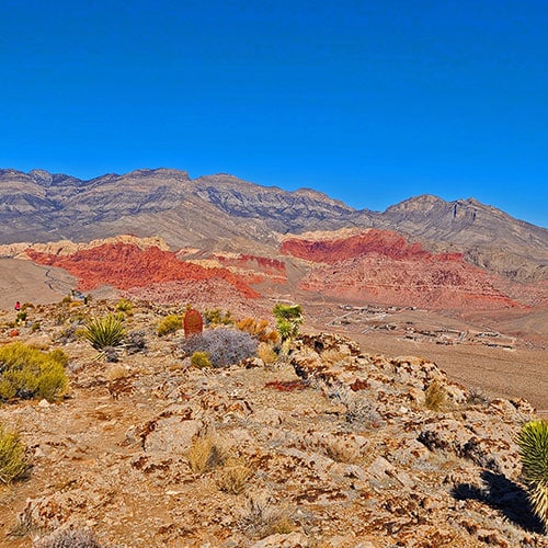
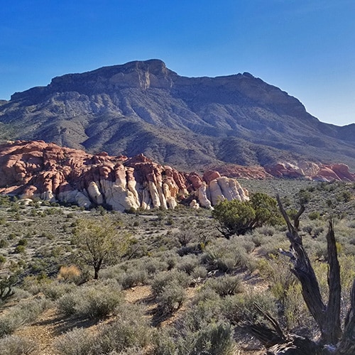
The Calico Basin is just East of the Red Rock Canyon Scenic Drive area. The two areas are separated by the Jurassic Sandstone Calico Hills. The Northern border of the Calico Basin Kraft Mountain and New Peak. The Southern border of the Calico Basin is Hwy 159. The Western border is the Calico Hills and the Eastern border is the Gray Cap Ridgeline. Within these natural ridgeline borders, the Calico Basin is a very compact wilderness area.

A Great Starting Point for Wilderness Adventures

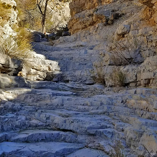
The Red Springs Desert Oasis is the main picnic area in the Calico Basin offering picnic tables, restroom facilities and a beautiful one-mile boardwalk circling the Red Springs Desert Oasis. The boardwalk loop is lined with many interpretive displays describing the unique Red Springs Desert Oasis terrain. One of the most accessible approaches to the summit of the Calico Hills — The Grand Staircase — begins just a couple hundred feet from the Red Springs Desert Oasis. There are numerous rock climbing routes is the Calico Hills directly above the Red Springs Desert Oasis. 

The Calico Basin Trail begins from the Red Springs Desert Oasis parking area and skirts the base of the Calico Hills toward Kraft Mountain on the North end of the Calico Basin. The Calico Basin Trail is part of the Lower Calico Basin Loop adventure passing through Guardian Angel Pass, and circling around the West side of the Calico Hills before looping back to Red Springs Desert Oasis.

There’s a large trailhead parking area on the North end of the Calico Basin at Kraft Mountain. From there one can take the rugged 3-mile Kraft Mountain Loop around Kraft Mountain. This is also access to beautiful Ash Springs and the Upper Calico Hills Loop ascending Ash Canyon, looping around the Calico Tanks, then taking the Grand Circle Loop and Guardian Angel Pass back to the Kraft Mountain Trailhead. There’s also the Pink Goblin Loop through Pink Goblin Pass and Rattlesnake Gulch, around the North side of New Peak and back down through Ash Canyon.

There are many easily accessible bouldering sites along the South side of Kraft Mountain. Also, from the Kraft Mountain Trailhead there is access to Gateway Canyon, Turtlehead Peak, Gray Cap Peak and the Brownstone Basin via the Gateway Canyon Loop adventure.

Gene’s Trailhead is located on Calico Basin Road near the entrance of the Calico Basin. From there one can circle Horse Peak and access the Brownstone Basin, or ascend to the summit of Horse Peak for spectacular views of the Calico Basin, the Las Vegas Valley and Strip and surrounding wilderness sites.

A Great Place for Daily Workouts

There are numerous trails throughout the Calico Basin. As there is no fee to enter the Calico Basin and the basin is within a few miles of the Las Vegas metro area, these trails are a great destination for daily hiking, running and mountain biking workouts. 

Where is the Brownstone Basin?

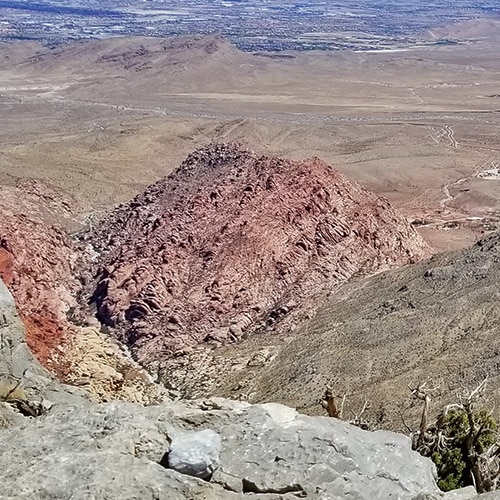
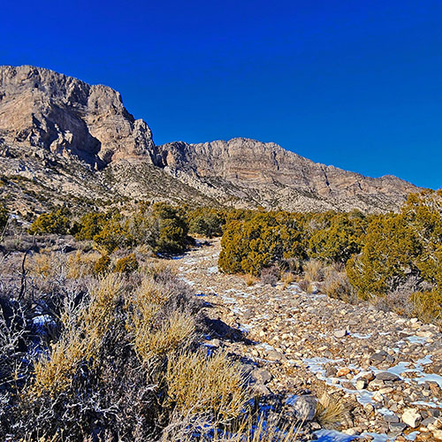
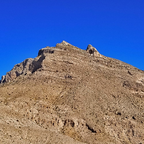
The Brownstone Basin is just East of the Calico Basin, separated from the Calico Basin by the massive Jurassic Sandstone Gray Cap Ridgeline and Peak. This feature, not as well known as the Calico Hills, actually dwarfs the Calico Hills in size. And, North to South, the Brownstone Basin is many times the size of the more compact Calico Basin. The Brownstone Basin stretches from Hwy 159 at its South end to the La Madre Ridgeline at its North end. Gray Cap Ridgeline and Turtlehead Peak and its ridgeline to the North form the Western border of the Brownstone Basin. Even more massive, the 7,000ft Damsel Peak and its ridgeline form the Eastern border of the Brownstone Basin along with Gateway Peak on the Northeast end of the Basin.

Many Wilderness Adventures in the Brownstone Basin

Gene’s Trailhead in the Calico Basin is a great access point to the Brownstone Basin. From there, you can reach the Brownstone Trail which spans the Brownstone Basin from South to North. This provides access to Damsel Peak Summit, Damsel Peak Loop and Gateway Peak. The Brownstone Trail is also access to Gray Cap Ridgeline and Gray Cap Peak. The Southern approach to the La Madre Ridgeline, La Madre Mountain and El Padre Mountain can be accessed from the Brownstone Trail at the upper end of the Brownstone Basin. The base of Gray Cap Ridgeline along the Brownstone Trail contains many ancient Native American petroglyph sites. All these areas in the mid and upper Brownstone Basin are located in the La Madre Mountains Wilderness.

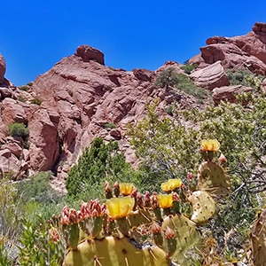
There’s a beautiful collection of Calico Hills in the mid-to-upper Brownstone Basin with a Tinaja/reservior. In the Spring months this area is a great site for blooming cacti and wildflowers. Opposite the hills and reservior is an Eastern approach to Turtlehead Peak.

Seldom Visited Wilderness Solitude in the Brownstone Basin

All these sites in the Brownstone Basin are seldom visited due to the inaccessibility of the Brownstone Basin. To approach the Brownstone Basin you need to either have a 4WD vehicle or be prepared for a long hike! This creates an atmosphere of wilderness solitude, though the Brownstone Basin is closer in proximity to the Las Vegas Valley than the Red Rock Canyon Scenic area and the Calico Basin.  

To learn more about the Calico Basin and future BLM plans for the basin see the 2022 BLM Calico Basin Recreation Area Management Plan and Final Environmental Assessment 

Adventures in the Calico and Brownstone Basins

Calico Hills
(Many Adventures)

Jurassic Sandstone Ridgeline Bordering Red Rock Canyon and the Calico Basin

Calico Basin Daily Workout Trails

Distance & Elevation Vary Based on Trail Choices
**Great Trails! Hike, Run or Bike**

Kraft Mountain Loop

**3.5 Miles, 3,710 – 4,299ft Elevation **

Kraft Mountain Gateway Canyon Loop

Approx .  (12 mi.) | 3,700-5,400ft Elevation
**Some Trail, Mostly Wilderness**

Gray Cap Ridge SE Summit

Approx. 10mi RT | 3,500-5,000ft Elevation |  **Good Unmarked Trails, Pathless Final Approach**

Gray Cap Ridge Brownstone Loop

**10-12 Miles, 3,710 – 5,400ft Elevation **

Brownstone Trail

Approx. 26mi RT | 3,600-6,400ft Elevation |  **Excellent Trail for
Hiking or Running!**

3-Basin Circuit Trails

Approx.  28 mi.  
**Good Trails/Sketchy Trails/Wilderness**

Grand Circle Loop

11.3-Mile Hiking Trail Near Scenic Drive Route
Great Overview of Red Rock Canyon & Surrounding Wilderness


Gateway Peak

**Approx. 30 mi RT from Calico Basin, 3,600 – 6,530ft Elevation **

Damsel Peak

Damsel Peak North Summit

16 mi Start Sandstone Quarry Red Rock | 4370 > 6977ft
**Wilderness, No Trail**

Damsel Peak
Southeastern Slope

14 mi Start Kraft Mt. Trailhead Parking | 3800 > 6700ft
**Trails, Roads, Wilderness**

Damsel Peak South Approach

Approx 15 mi RT
**Trails, Roads, Wilderness, Some Class 3 Climbing**

(Adventure In Process)

Damsel Peak Loop

Approx 30 mi.; 3,600 – 6,530ft elevation;
**Trails, Roads, Wilderness, Some Class 3 Climbing**

Damsel Peak Southeastern Pinnacle Loop | La Madre Mountains Wilderness, Nevada

Damsel Peak SE Pinnacle Loop

Approx.  6-7 mi.  
**Some Roads, Mostly Wilderness**

Damsel Peak End-To-End | Brownstone Basin, Nevada

Damsel Peak End-to-End

Approx.  16-17 mi.  
**Some Roads, Mostly Wilderness**

Adventures in Process

Additional Projected Adventures

Gray Cap Peak

Kraft Mountain Summit

Summary
Calico Basin, Nevada | Overview Wilderness Windows
Article Name
Calico Basin, Nevada | Overview Wilderness Windows
Description
Calico and Brownstone Basins sit just East of Red Rock Park in Nevada. There are numerous Jurassic Era Aztec colorful red and white rock hills in and around the basin which makes it a great place to explore, hike, run and climb.
Author
Publisher Name
LasVegasAreaTrails.com
Publisher Logo
Translate »