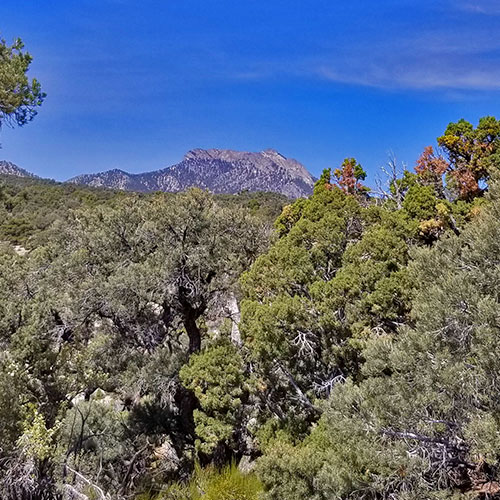
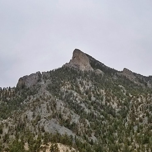
Lee Canyon Overview | Mt Charleston Wilderness
Bristlecone Pine Trail: 6.8 mi / Approx. 8,690 > 9,400ft **Excellent Trail**
Lee Canyon Overview | Mt Charleston Wilderness
The Sisters South: 8 mi RT/ 8,399 > 10,197ft **Mostly Trail, Some Wilderness**
Lee Canyon Overview | Mt Charleston Wilderness
The Sisters North: 8 mi RT/ 8,250 > 10,197ft **Mostly Wilderness, Some Trails**
Lee Canyon Overview | Mt Charleston Wilderness
Black Rock Sister: 8 mi RT/ Approx. 8,300 > 9,668ft **Wilderness Route**
Lee Canyon Overview | Mt Charleston Wilderness
Foxtail Canyon Springs: 5 mi / Approx. 8,450 > 9,800ft **Faint Trail**
Lee Canyon Overview | Mt Charleston Wilderness
Pinyon Pine Lp Tr: 8.5 mi RT/ 6,496 > 7,688ft **Excellent Trails, Wrong Turn Easy**
Lee Canyon Overview | Mt Charleston Wilderness
Bonanza Peak from Lee Canyon: 26 mi RT/ 8,483 > 10,397ft **Excellent Trails**
Lee Canyon Overview | Mt Charleston Wilderness
McFarland Peak Base via Bonanza Trail: 15 mi RT/8,690 > 9,600ft **Excellent Trail**
Lee Canyon Overview | Mt Charleston Wilderness
Macks Peak Base via Macks Canyon Rd: 14 mi RT/7 > 9,500ft **Road/Wilderness**
Lee Canyon Overview | Mt Charleston Wilderness
Sawmill Trailhead > Macks Pk Base: 12 mi RT/7,591 > 9,235ft **Trail + Wilderness**
Lee Canyon Overview | Mt Charleston Wilderness
Lee to Kyle Canyon Upper Rim Overview of Routes: 3K ft Ascent **Wilderness**
Lee Canyon Overview | Mt Charleston Wilderness
Lee Peak via Lee Canyon Mid Ridge: 18 mi RT/8 > 11,200ft **Trail + Wilderness**
Lee Canyon Overview | Mt Charleston Wilderness
Lee & Charleston Peaks, Lee Mid Ridge: 35 mi 8 > 11,920ft **Trail + Wilderness**
Lee Canyon Overview | Mt Charleston Wilderness
Mummy Mountain Grand Crossing: 18 mi RT/8 > 11,520ft **Mostly Wilderness**
Lee Canyon Overview | Mt Charleston Wilderness
Lee to Kyle - Foxtail Circuit: 15 mi RT/8 > 11,000ft **Initial Road, Mostly Wilderness**
Lee Canyon Overview | Mt Charleston Wilderness
Lee > Mummy's Head: 10 mi RT/ Approx. 8,000 > 11,535ft **Mostly Wilderness**
Lee Canyon Overview | Mt Charleston Wilderness
Lee > Mummy's Summit: 10 mi RT/ Approx. 8,000 > 11,535ft **Mostly Wilderness**
Lee Canyon Overview | Mt Charleston Wilderness
Beyond Mummy's Head: 10-15 mi RT/8,000 > 11,520ft **Mostly Wilderness**
Lee Canyon Overview | Mt Charleston Wilderness
Lee Canyon > Lee Peak: 16 miles RT/8,300 > 11,200ft **Trails, Ski Run, Wilderness**
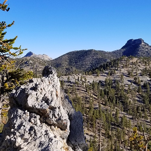
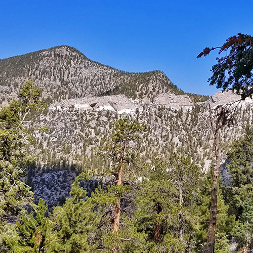
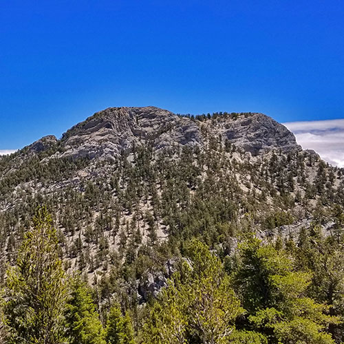
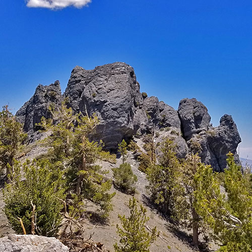
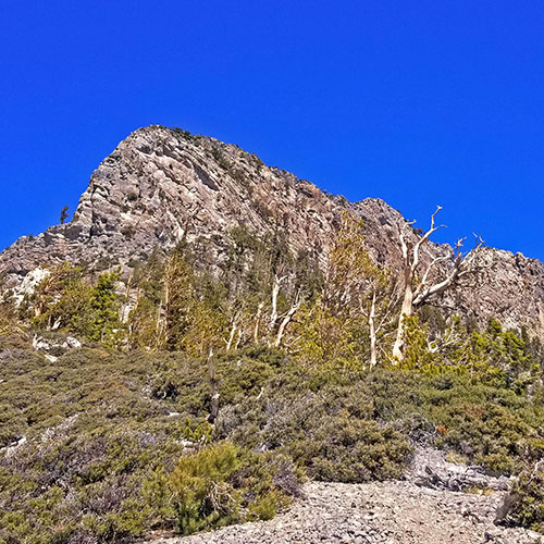
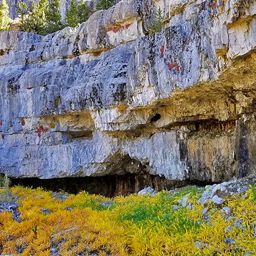
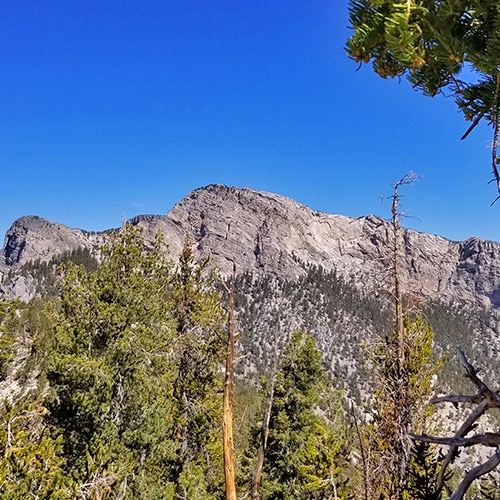
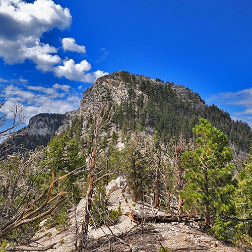
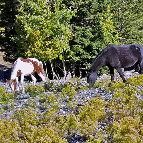
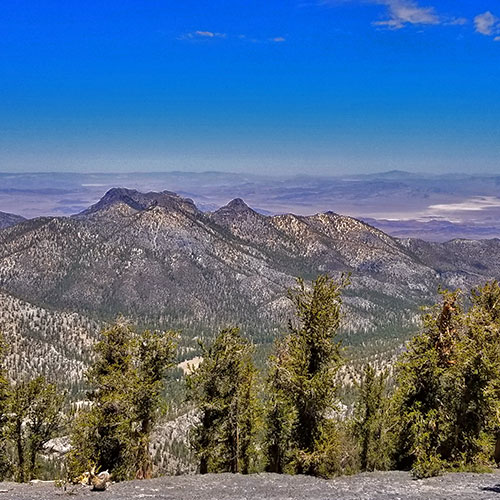
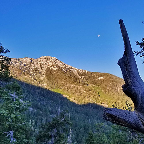
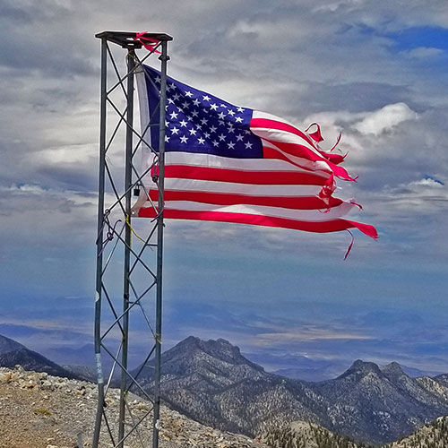
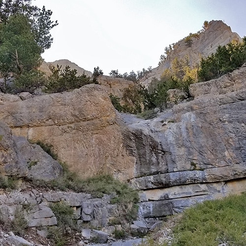
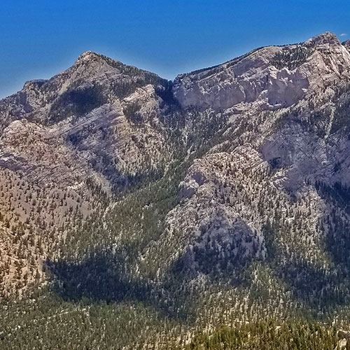
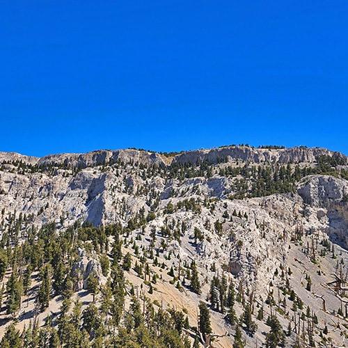
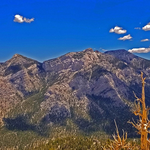
A 9453ft Rocky Peak Viewed from the Bristlecone Pine Trail in Mt. Charleston Wilderness, Nevada The Final Summit Approach is the Slope Between the Western (left) and Eastern (right) Cliff Summits. | The Sisters South | Lee Canyon | Mt Charleston Wilderness | Spring Mountains, Nevada View Back Toward Sisters North and Sisters South Summits from Saddle North of Sisters North | Sisters North | Lee Canyon | Mt Charleston Wilderness | Spring Mountains, Nevada Black Rock Sister | Mt Charleston Wilderness | Lee Canyon | Spring Mountains, Nevada Foxtail Canyon Springs | Foxtail Canyon | Foxtail Girl Scouts Camp | Mt Charleston Wilderness | Spring Mountains, Nevada Circling Around for Another Brief View of Mummy's Head | Pinyon Pine Loop Trail | Sawmill Trailhead | Lee Canyon | Mt Charleston Wilderness | Spring Mountains, Nevada Bonanza Peak Viewed from the Base of McFarland Peak | Bonanza Peak from Lee Canyon via the Lower Bristlecone Pine Trail and Bonanza Trail | Spring Mountains, Nevada Full Shot of McFarland Peak Viewed from Bonanza Trail | Base of McFarland Peak via Bristlecone Pine Trail and Bonanza Trail | Lee Canyon | Spring Mountains, Nevada On Return Trip Took Ridge Branching Off to Right from Approach Ridge High Point Just Ahead | Macks Peak | Mt Charleston Wilderness | Spring Mountains, Nevada Dawn View of Lee Peak from the Mid-Ridge. Notice the Moon Above. | Lee Peak Summit via Lee Canyon Mid Ridge | Mt. Charleston Wilderness | Spring Mountains, Nevada Flag Flies in High Winds on Charleston Peak Summit. Lee Peak and Sisters Peaks Below. | Lee and Charleston Peaks via Lee Canyon Mid Ridge | Mt Charleston Wilderness | Spring Mountains, Nevada First Sight of Mummy Mountain from Lee/Kyle Canyon Upper Ridgeline | Mummy Mountain Grand Crossing | Lee Canyon to Deer Creek Road | Mt Charleston Wilderness | Spring Mountains, Nevada | | Lee to Kyle Canyon | Foxtail Approach | Mt Charleston Wilderness | Spring Mountains, Nevada McFarland Peak Viewed from 9,235ft High Point Above the Trail | Sawmill Trail to McFarland Peak | Spring Mountains, Nevada Mummy's Head Area Viewed from Across Lee Canyon Near Sisters North | Mummy Mountain Head from Lee Canyon Road | Mt Charleston Wilderness | Spring Mountains, Nevada Barrier Cliff in the Summit Approach Wash - Navigate Left Slopes | Mummy Mountain Summit Approach from Lee Canyon | Mt. Charleston Wilderness | Spring Mountains, Nevada Large View of Lee Canyon East Ridge. Watch for Approach Ridges and Washes | Lee Canyon to Kyle Canyon | Potential Routes | Mt Charleston Wilderness | Spring Mountains, Nevada Wild Horses on Ski Run Below Lee Peak in Lee Canyon, Nevada

Mt Charleston Wilderness Overview | Lee Canyon Trails | Wilderness Windows

(Click Through to Individual Trails and Wilderness Routes Below)

(Mileage Below is Round Trip. Altitude and Mileage are Approximate)

Bristlecone Pine Trail

6.8 mi / Approx. 8,690 > 9,400ft
**Excellent Trail**

Bonanza Peak from Lee Canyon via Bonanza Trail

26 mi RT/ Approx. 8,483 > 10,397ft
**Excellent Trails**

The Sisters South

8 mi RT/ 8,399 > 10,197ft
**Mostly Trail, Some Wilderness**

Black Rock Sister

8 mi RT/ Approx. 8,300 > 9,668ft
**Wilderness Route**

Macks Peak Base from Lee Canyon Rd via Macks Canyon Rd

14 mi RT/ Approx. 7,000 > 9,500ft
**Road, Trail, Wilderness**

Foxtail Canyon Springs

5 mi / Approx. 8,450 > 9,800ft
**Faint Trail**

McFarland Peak Base via Bristlecone Pine and Bonanza Trails

15 mi RT/ Approx. 8,690 > 9,600ft
**Excellent Trail**

The Sisters North

8 mi RT/ 8,250 > 10,197ft
**Mostly Wilderness, Some Trails**

Lee Peak from Lee Canyon – More Direct Route

16 miles RT/ Approx 8,300 > 11,200ft **Some Trails, Ski Run, Mostly Wilderness**

Lee to Kyle Canyon Routes

Lee to Kyle Canyon Upper Rim
Overview of Routes

10 mi RT/ Approx. 8,300 > 11,000ft
**Wilderness Route**

Lee to Kyle Canyon Gradual Mid Ridge

14 mi RT/ Approx. 8,000 > 11,535ft
**Mostly Wilderness**

Lee to Kyle Canyon – Ascent via Foxtail Canyon Route – Descent via Gradual Mid Ridge

15 mi RT/ Approx. 8,000 > 11,000ft
**Brief Initial Road, Then Wilderness**

Lee to Kyle Canyon East Ski Run Route

10 mi RT/ Approx. 8,000 > 11,535ft
**Ski Run Wilderness**

Lee Peak Summit via Lee Canyon Mid Ridge

18 mi RT/ Approx. 8,000 > 11,200ft
**Some Trail, Mostly Wilderness**

Lee Peak & Charleston Peaks Summit Circuit via Lee Canyon Mid Ridge

35 mi Circuit/ Approx. 8,000 > 11,920ft
**Some Trail, Some Wilderness**

Mummy Mountain from Lee Canyon

Mummy Mountain Summit from Lee Canyon

10 mi RT/ Approx. 8,000 > 11,535ft
**Mostly Wilderness**

Mummy’s Head from Lee Canyon Rd (Straight Up!)

10 mi RT/ Approx. 8,000 > 11,535ft
**Mostly Wilderness**

Mummy Mountain Grand Crossing

18 mi RT/ Approx. 8,000 > 11,520ft
**Mostly Wilderness**

Mummy Mountain Head from Lee Canyon | Additional Approaches

10-15 mi RT/ Approx. 8,000 > 11,520ft
**Mostly Wilderness**

Sawmill Trailhead Trails

Pinyon Pine Loop Trail

8.5 mi RT/ Approx. 6,496 > 7,688ft
**Excellent Trails But Easy to Go Off-Track**

Macks Peak Base from Sawmill Trailhead

12 mi RT/ Approx. 7,591 > 9,235ft
**Some Trail, Some Wilderness**

Circuit Adventures from Lee Canyon

Adventures Involving 2 or More Destinations

Lee to Kyle Canyon – Ascent via Foxtail Canyon Route – Descent via Gradual Mid Ridge

15 mi RT/ Approx. 8,000 > 11,000ft
**Brief Initial Road, Then Wilderness**

Lee Peak & Charleston Peaks Summit Circuit via Lee Canyon Mid Ridge

35 mi Circuit/ Approx. 8,000 > 11,920ft
**Some Trail, Some Wilderness**

Mummy Mountain Grand Crossing

18 mi RT/ Approx. 8,000 > 11,520ft
**Mostly Wilderness**

Additional Projected Adventures

Rocky Gorge (Sawmill Trailhead Area) 

Lee Canyon to Mummy’s Head > Nose > Chin > Summit Circuit Return via Deer Creek Road

Sisters South > Macks Peak > McFarland Peak > Lower Bristlecone Pine Trailhead

Wilderness West of Charleston Peak (from Bonanza Trail area?)

Charleston Peak Western Approach

Upper Bristlecone Pine Trailhead to Pahrump

Lower Bristlecone Pine Trailhead to Pointy Peak

Lower Bristlecone Pine Trailhead to Bonanza Trail Ridge

Beyond Bonanza Trail Ridge Southward
Summary
Mt Charleston Wilderness Overview | Lee Canyon Trails
Article Name
Mt Charleston Wilderness Overview | Lee Canyon Trails
Description
Lee Canyon is primarily a recreational area featuring a state-of-the-art ski resort along with camping and picnic areas. There is one main trailhead (Bristlecone Pine Trail) and a number of unmarked trails to hiking, running and climbing destinations.
Author
Publisher Name
LasVegasAreaTrails.com
Publisher Logo
Translate »