Hidden Gem in the Spring Mountains of Southern Nevada
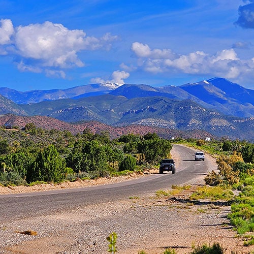
You’re traveling on Highway 160 between Las Vegas and Pahrump, eager to get to your destination. You’ve begun to descend from the high point, Mountain Spring. As the road levels off below, you may easily miss a small sign for “Lovell Canyon Road“. STOP!!! Take a right turn up Lovell Canyon Road into the huge, wide-open, beautiful Lovell Canyon. The road is paved and well maintained and will take you 12 miles deep into the canyon.
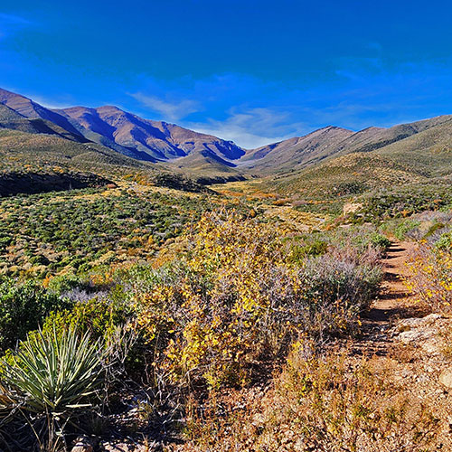
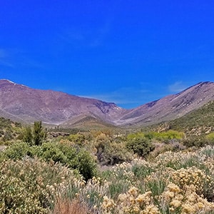
Those mountains you see at the upper end of the canyon are Griffith Peak (on the left) and Harris Mountain (on the right). The canyon itself is huge, bordered by Sexton Ridge on the left (West) and the Rainbow Mountains Upper Crest Ridgeline and Wilson Ridgeline on the right (East). Unlike the more desert-like areas in the region, the surface of Lovell Canyon is clothed with fields of grass blowing in the wind, blooming shrubs and wildflowers in the Spring.
Great Access Roads
In addition to the 12-mile paved Lovell Canyon Road, there are is a network of unpaved branching roads. Branching to the East, Rainbow Spring Road and Saltgrass Road will take you toward The Rainbow Mountains Upper Crest Ridgeline. Rocky Gap Road will take you through the Wilson Ridgeline and into Red Rock Canyon. Branching to the West further up the canyon CC Spring Road will take you on a long magical wilderness loop back to Highway 160. Lovell Summit Road, branching off to the West from the upper end of Lovell Canyon Road will take you to neighboring Trout Canyon.
Car Camping Paradise
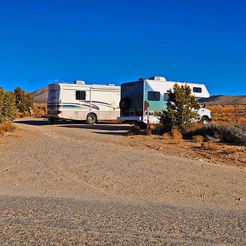
One of the greatest features of the network of wilderness roads in Lovel Canyon is that they are lined with campsites! There are camp sites for tent campers, car and trailer campers and even huge RVs. And the views from many of the sites are surrounding wilderness with huge vistas and blessed solitude!
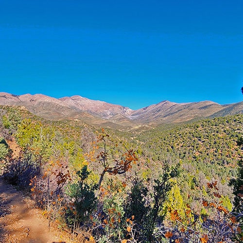
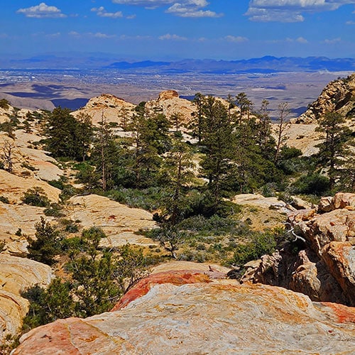
The great ridgelines surrounding Lovell Canyon are each a wild, rarely visited world unto themselves. The Rainbow Mountains Upper Crest Ridgeline runs parallel and above the entire length of the colorful sandstone Rainbow Mountains on the West side of Red Rock Canyon, East side of Lovell Canyon. Lovell Canyon is your the back-door access to the Rainbow Mountains with all their rock climbing opportunities. The Wilson Ridgeline runs along the upper West side of Lovell Canyon all the way to Harris Mountain in the Mt. Charleston Wilderness. The Sexton Ridgeline runs along the upper East side of Lovell Canyon all the way to Griffith Peak in the Mt. Charleston Wilderness. And high ridgeline saddle runs between the two peaks along the upper end of Lovel Canyon.
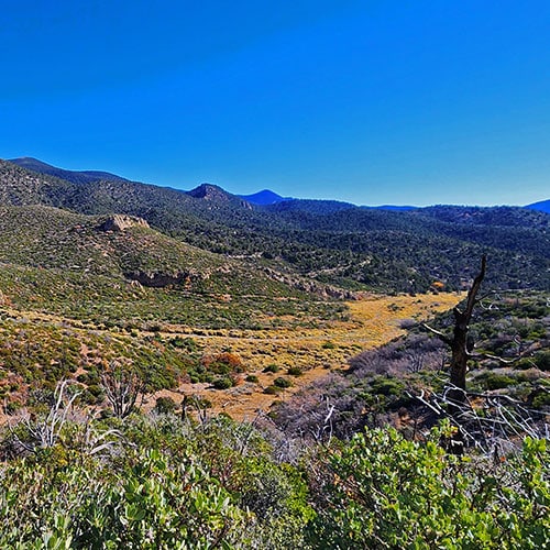
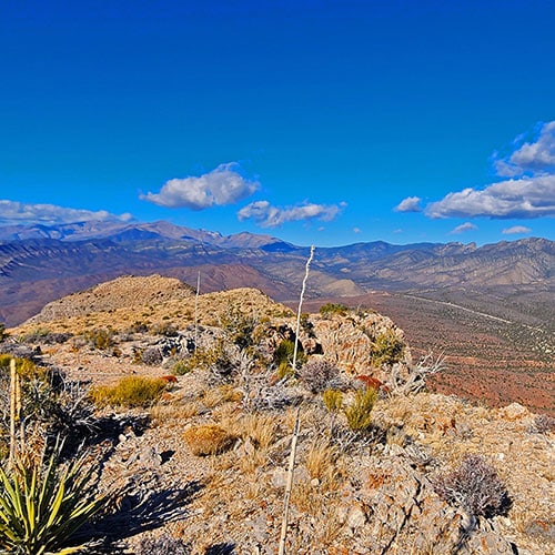
You might stand on the floor of Lovell Canyon in the midst of this wild paradise gazing up at the surrounding majestic ridgelines. Or you might stand on one of the ridgelines enjoying a spectacular full view of Lovell Canyon. Either way, you’ll be transfixed by this wide-open hidden wilderness paradise you so often passed by on your way between Las Vegas and Pahrump.
↓ Adventure Links ↓
Roads and Camping in Lovell Canyon
Get the basic details you need to enjoy Lovell Canyon on this website!
Lovell Canyon’s awesome venue for wilderness camping, hiking, climbing and spectacular ridgeline adventures has no visitor center. Find the information you need here.
8-9 Miles **Good Trail in Places, Sketchy in Places.**
Landmark Bluff
Impressive Landmark!
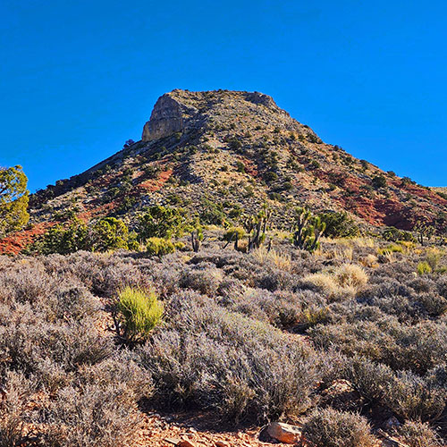
This is that huge impressive formation at the entrance of Lovell Canyon on the left (West) side. Its technical name is “Mesa Benchmark“. I refer to it as “Landmark Bluff” because you can see it from the ridgelines above Lovell Canyon all the way to Harris Mountain and Griffith Peak. It’s one of the main landmarks I use to navigate the high ridgelines.
The terrain around this formation and the views from its summit are truly impressive!
Wilson Ridge Loop Between South Spring Canyon & Salt Grass Road
Wilson Ridge Loop Between South Spring Canyon & Rocky Gap Road
Additional Sexton Ridge Approaches from Higher in Lovell Canyon
Harris/Griffith Saddle from Lovell Canyon
CC Springs Road & Western Lovell Canyon Lower Ridgeline
Beyond Lovell Canyon:
Trout Canyon Adventures
Nopah Range Adventures
Summary
Article Name
Lovell Canyon Overview | La Madre Mountains Wilderness | Spring Mountains, Nevada
Description
Follow the thumbnail images to view individual adventures in Lovell Canyon, Nevada. Get the big picture of Lovell Canyon here, then click through to view details, images and videos for each individual adventure.
To provide the best experiences, we use technologies like cookies to store and/or access device information. Consenting to these technologies will allow us to process data such as browsing behavior or unique IDs on this site. Not consenting or withdrawing consent, may adversely affect certain features and functions.
Functional
Always active
The technical storage or access is strictly necessary for the legitimate purpose of enabling the use of a specific service explicitly requested by the subscriber or user, or for the sole purpose of carrying out the transmission of a communication over an electronic communications network.
Preferences
The technical storage or access is necessary for the legitimate purpose of storing preferences that are not requested by the subscriber or user.
Statistics
The technical storage or access that is used exclusively for statistical purposes.The technical storage or access that is used exclusively for anonymous statistical purposes. Without a subpoena, voluntary compliance on the part of your Internet Service Provider, or additional records from a third party, information stored or retrieved for this purpose alone cannot usually be used to identify you.
Marketing
The technical storage or access is required to create user profiles to send advertising, or to track the user on a website or across several websites for similar marketing purposes.