Overview | Pine Creek Canyon | Rainbow Mountain Wilderness, Nevada
Pine Creek Canyon is the second to the last trailhead parking area on the
Red Rock Canyon Scenic Loop Drive. This entire side of
Red Rock Canyon is often overlooked by those who spent their time at the more popular
Red Rock Canyon Visitor Center, the
Calico Hills,
Turtlehead Peak, upper viewpoint,
Willow Springs and
Ice Box Canyon. However,
Pine Creek Canyon is definitely worth a day or two. It is more wild, untouched and the plant life more varied and abundant. And the creek with its picnic area in a beautiful
Ponderosa Pine grove is a quiet escape from the more crowded areas in
Red Rock Canyon. In addition, a trip up the canyon reveals some rare spectacular scenery.
Directions to the Start Point | Pine Creek Canyon | Rainbow Mountain Wilderness, Nevada
From
I-215 take the
Charleston Blvd exit (at
Red Rock Casino) and head upward through
Summerlin toward
Red Rock Canyon National Conservation Area. Take the
Red Rock Canyon scenic drive past the high point overlook and past the
Willow Spring picnic area turnoff. Continue on the
Red Rock Canyon scenic drive past the trailhead for
Ice Box Canyon.
Pine Creek Canyon Trailhead is the next trailhead on your right, a couple miles beyond the
Ice Box Canyon Trailhead.
↓ Narrative Guide ↓
Narrative Guide | Pine Creek Canyon | Rainbow Mountain Wilderness, Nevada
The
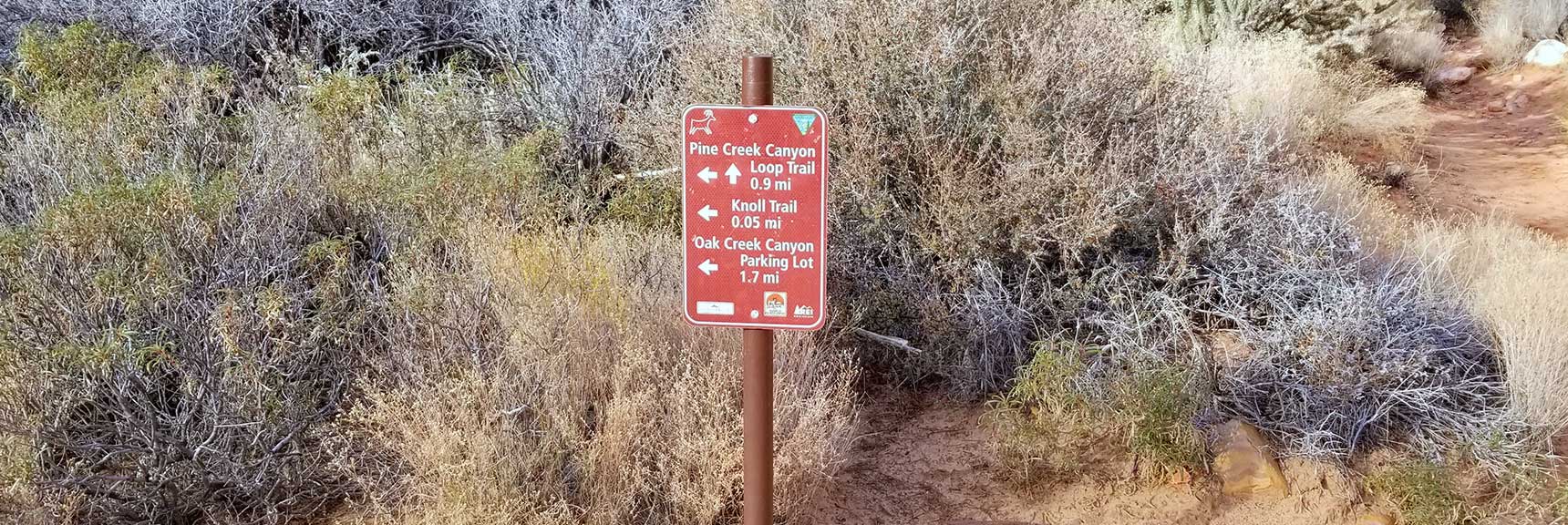
Pine Creek Canyon Trailhead is well marked, on the West end of the trailhead parking area. The trail begins with an immediate brief sharp descent from the parking area. Be prepared for a maze of trails. There is the .9-mile
Fire Ecology Loop Trail about a half mile in that branches off to the left to a beautiful creek side picnic area in the shade of a
Ponderosa Pine grove. The landscape on the
Fire Ecology Loop is being restored from earlier fires. Continuing on the main
Pine Creek Canyon Trail past the
Fire Ecology Loop turnoff reach the
Dales Trail turn-off to the right and the
Knoll Trail turn- off to the left. These trails are part of the
Rainbow Mountains Eastern Baseline Trails network that skirt the Eastern base of the
Rainbow Mountains on the West side of
Red Rock Canyon. If you took a left onto the
Knoll Trail you’d pass
Juniper Canyon and
Juniper Peak, then reach the
Arnight Trail and the
Oak Creek Canyon trailhead parking area. If you took a right onto
Dales Trail you’d reach
Ice Box Canyon in about 2 miles.
The Big Pine Creek Canyon Divide
In the middle of
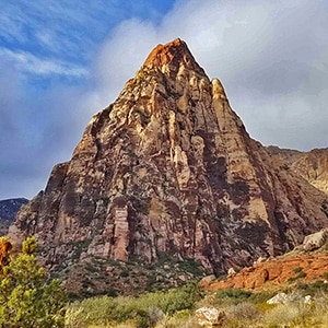
Pine Creek Canyon stands the impressive pyramid-shaped
Mescalito Peak. You can’t miss it.
Mescalito Peak divides
Pine Creek Canyon. The South (left) branch is the main branch of
Pine Creek Canyon. The South branch runs between
Mescalito Peak and
Juniper Peak. The North (right) branch is
Fern Canyon. Fern Canyon runs between
Mescalito Peak and
Bridge Mountain. In a later adventure I ventured into the opening of
Fern Canyon to observe rock climbers scaling the vertical walls of
Mescalito Peak.
The main goal on this day was to explore the South (left) branch of
Pine Creek Canyon between
Juniper Peak and
Mescalito Peak and see what there was to discover and how far we could get. A later adventure takes this South branch of
Pine Creek Canyon to
Terrace Canyon and beyond to
Rainbow Wall, then loops downward through
Oak Creek Canyon, finally returning to the
Pine Creek Canyon Trailhead. View the
Rainbow Mt via Pine Creek & Oak Creek Canyons adventure.
Entering the South Branch of Pine Creek Canyon
Back to this initial exploration of the South (left) branch of
Pine Creek Canyon: As you reach
Mescalito Peak and take the South (left) branch of
Pine Creek Canyon you soon enter a pretty dicey stretch of boulders and brush before descending to
Pine Creek. A trail appears and disappears a few times and branches off into a number of rabbit trails. Continue left and upward over to
Pine Creek and up the canyon. Eventually, after crossing branches of
Pine Creek a couple times you will descend to the main creek channel between
Mescalito Peak and
Juniper Peak.
Wading Through Pine Creek
The canyon narrows at this point and, in the early Spring, the only way to avoid the abundant brush on either side is to travel up the creek. Prepare to wade through long stretches of flowing water and get your feet wet when the creek is running high from late Fall to late Spring! Realize that you may encounter huge slippery cold wet slanted
sandstone surfaces while your shoes are heavy and wet from the creek.
Turning Around Early but Committed to a Return Trip
On the way up
Pine Creek Canyon, keep a mind to your return trip down
Pine Creek Canyon as it’s easy to take a wrong turn and end up struggling through heavy tangly brush! Turn around often on the way up
Pine Creek Canyon to see how different the route will look on the return trip.
Though
Pine Creek is only ankle or shin-deep and not dangerous (unless perhaps during a downpour) I was not prepared on this day to travel through water and so turned around where the route descended to
Pine Creek in the most narrow area between
Mescalito Peak and
Juniper Peak. I finally reached the
Knoll Trail and looped back to the main
Pine Creek Trail and its trailhead on the
Red Rock Park Scenic Loop Drive.
Alternate Route Circling to the Right Beyond Mescalito Peak
When you reach
Mescalito Peak you can take a right and travel up that side of
Pine Creek Canyon for what I understand are additional spectacular scenes.