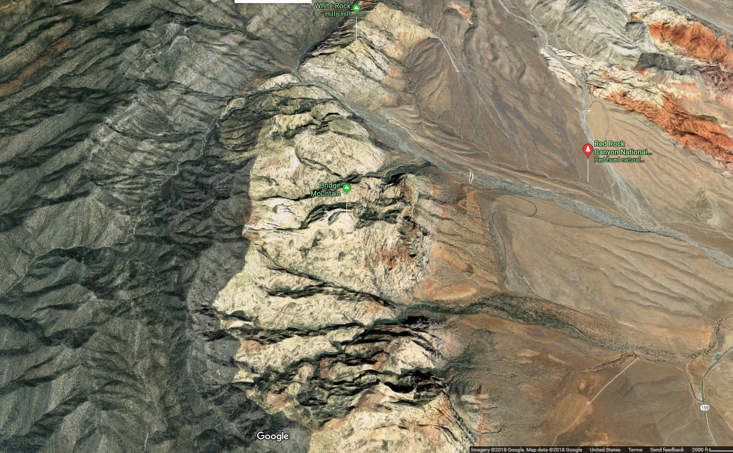
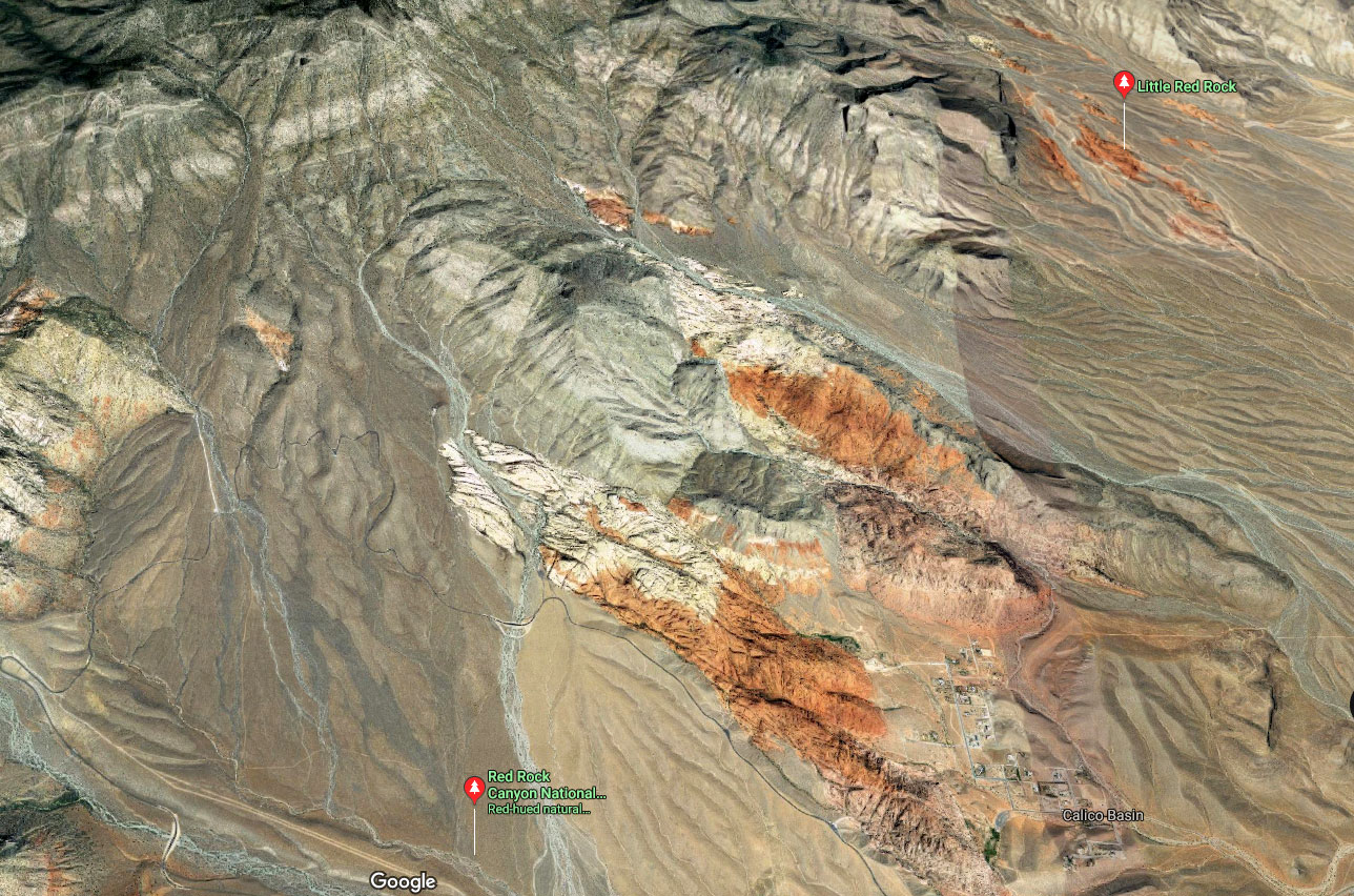
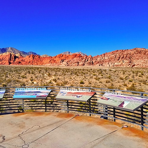
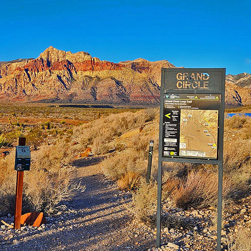
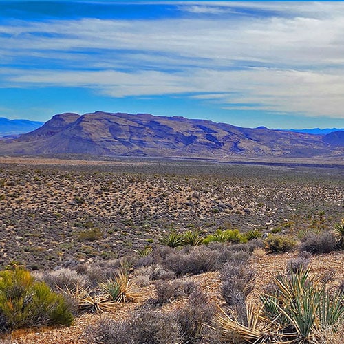
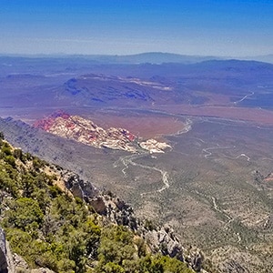
Red Rock Canyon National Conservation Area | OverviewVisitor Center: First Stop on the Red Rock Canyon Scenic Drive.Red Rock Canyon National Conservation Area | OverviewScenic Drive: About 13-Miles. Numerous Viewpoint & Trailhead Parking AreasRed Rock Canyon National Conservation Area | OverviewGrand Circle Loop: 11.3-Mile Trail Loop within the Scenic Drive Loop. Red Rock Canyon National Conservation Area | OverviewRainbow Mountains Eastern Baseline Trails: Arnight TrailRed Rock Canyon National Conservation Area | OverviewRainbow Mountains Eastern Baseline Trails: Knoll TrailRed Rock Canyon National Conservation Area | OverviewRainbow Mountains Eastern Baseline Trails: Dales TrailRed Rock Canyon National Conservation Area | OverviewRainbow Mountains Eastern Baseline Trails: SMYC TrailRed Rock Canyon National Conservation Area | OverviewCalico Hills: Scramble Among the Hills. Experience Jurassic Frozen DunesRed Rock Canyon National Conservation Area | OverviewCalico Hills Loop: Series of Trails Looping Around the Calico HillsRed Rock Canyon National Conservation Area | OverviewCalico Tanks: 5-Mile Out-And-Back Among Jurassic Hills, Tanks Full in SpringRed Rock Canyon National Conservation Area | OverviewAsh Canyon to Calico Tanks - Calico Basin and Red Rock CanyonRed Rock Canyon National Conservation Area | OverviewTurtlehead Peak: 5-Mile Steep Round Trip with Spectacular Views at the Top!Red Rock Canyon National Conservation Area | OverviewTurtlehead Peak: Alternate Upper Ridge Approach RouteRed Rock Canyon National Conservation Area | OverviewWhite Rock Mountain Loop: Awesome 5-Mile Circle of Mountain, Hike or Run!Red Rock Canyon National Conservation Area | OverviewKeystone Thrust Trail: Skirt the Base of the Keystone Thrust CliffsRed Rock Canyon National Conservation Area | OverviewKyle Canyon Grand Crossing South: Reach Kyle Canyon from Red Rock CanyonRed Rock Canyon National Conservation Area | OverviewKyle Canyon Grand Crossing: Reach Red Rock Canyon from Kyle CanyonRed Rock Canyon National Conservation Area | OverviewPetroglyph Wall: About 500 Yards from the Willow Spring Picnic AreaRed Rock Canyon National Conservation Area | OverviewLost Creek Canyon: Less Than a Mile from the Willow Spring Picnic AreaRed Rock Canyon National Conservation Area | OverviewLa Madre Springs: Beautiful Year-Round Spring About 2 Mi from Willow SpringRed Rock Canyon National Conservation Area | OverviewMiner's Cabin: Historic Cabin Just Above the La Madre Spring Area.Red Rock Canyon National Conservation Area | OverviewKeystone Thrust from Willow Spring: Easiest Keystone Thrust Summit RouteRed Rock Canyon National Conservation Area | OverviewLa Madre Mountain Western Approach from Willow Spring, Red Rock CanyonRed Rock Canyon National Conservation Area | OverviewNorth Peak: Spectacular Views of Red Rock Canyon. Start at Willow SpringRed Rock Canyon National Conservation Area | OverviewIce Box Canyon - Red Rock Canyon NCA and Rainbow Mountain WildernessRed Rock Canyon National Conservation Area | OverviewBridge Mountain: Challenging Summit Approach. Begin at Willow Spring .Red Rock Canyon National Conservation Area | OverviewPine Creek Canyon Southern Branch: Back Door to Juniper Peak & Upper RidgeRed Rock Canyon National Conservation Area | OverviewPine Creek Canyon: Trace Climber's Approach Route. Climb Cliffs or ObserveRed Rock Canyon National Conservation Area | OverviewFire Ecology Trail in Pine Creek CanyonRed Rock Canyon National Conservation Area | OverviewHistoric Roads in Red Rock CanyonRed Rock Canyon National Conservation Area | OverviewJuniper Canyon: Navigate This Challenging Access Route Toward Juniper PeakRed Rock Canyon National Conservation Area | OverviewJuniper Peak Summit Base: Explore the Sandstone Area Above Juniper CanyonRed Rock Canyon National Conservation Area | OverviewJuniper Peak: Least Difficult Rainbow Mt. Summit - Class 3Red Rock Canyon National Conservation Area | OverviewRainbow Mountain Eastern Cliffs Rock Climber's Approach TrailRed Rock Canyon National Conservation Area | OverviewMiddle Oak Creek Trail: Experience Oak Creek Canyon Entrance & Picnic AreaRed Rock Canyon National Conservation Area | OverviewMt. Wilson: Highest and Most Challenging Rainbow Mt. Brush, Boulder ApproachRed Rock Canyon National Conservation Area | OverviewLovell Canyon Access Route to Mt. Wilson
The National Park-like area: This is the area with a fee-gated entrance, visitor center filled with interpretive displays and the 13-mile Scenic Drive surrounded by maintained viewpoints and parking areas.
Expand the Southern Nevada portion of the Friends of Nevada Wilderness Finder to see a map of the various wilderness areas and boundaries included in the Red Rock Canyon National Conservation Area.
More Ancient Limestone Mountains: The La Madre Mountains Wilderness to the North is most easily recognized as the line of darker, more ancient limestone cliffs to the North of the Scenic Drive. Here you will find beautiful Pinyon Pine and Juniper forests in great contrast to the surrounding desert regions.
The variety of diverse environments in Red Rock Canyon is seldom found in a geographic area of this compact size. Here you can experience a large variety of activities from sightseeing in your car, to hiking well established trails to world-class rock climbing to back-woods wilderness adventures!
General Information, Scenic Drive & Grand Circle Loop
10 Scenic Drive Viewpoints/Trailhead Areas + Companion Hiking Loop
Those Colorful Mountains on the West Side of Red Rock Canyon Are the Rainbow Mountains Access This Area from the Willow Spring, Ice Box Canyon, Pine Creek Canyon and Oak Creek Canyon Turnoffs on the Scenic Drive.
Middle Oak Creek Trail South Branch to Rainbow Mountains Upper Crest Ridgeline
Dales Trail to Bridge Mt. Hidden Forest
Summary
Article Name
Red Rock Canyon National Conservation Area Overview
Description
The 10,000 acre Red Rock Canyon is the signature wilderness area just outside Metro Las Vegas. Hike and climb on magnificent Jurassic era frozen sand dunes and calico hills -- some reaching heights of 7,000 feet.
To provide the best experiences, we use technologies like cookies to store and/or access device information. Consenting to these technologies will allow us to process data such as browsing behavior or unique IDs on this site. Not consenting or withdrawing consent, may adversely affect certain features and functions.
Functional
Always active
The technical storage or access is strictly necessary for the legitimate purpose of enabling the use of a specific service explicitly requested by the subscriber or user, or for the sole purpose of carrying out the transmission of a communication over an electronic communications network.
Preferences
The technical storage or access is necessary for the legitimate purpose of storing preferences that are not requested by the subscriber or user.
Statistics
The technical storage or access that is used exclusively for statistical purposes.The technical storage or access that is used exclusively for anonymous statistical purposes. Without a subpoena, voluntary compliance on the part of your Internet Service Provider, or additional records from a third party, information stored or retrieved for this purpose alone cannot usually be used to identify you.
Marketing
The technical storage or access is required to create user profiles to send advertising, or to track the user on a website or across several websites for similar marketing purposes.