You’ll find the most direct trails to all but one of these peaks in Kyle Canyon. One exception: Fletcher Peak has a slightly more direct access from Deer Creek Road. Each peak’s overview page shows multiple wilderness routes for adventure and variety, but the main trail is listed first.
Desert Island with Rare Species Found Nowhere Else on Earth!
When you’re looking out from one of the high points in the Mt. Charleston Wilderness, it’s immediately clear that this entire wilderness area in the Spring Mountains of Nevada is an island surrounded by arid desert. During a mid-Summer day below in the Las Vegas Valley you may be in a sweltering 120-degree environment where cacti thrive. Contrast this with a comfortable 70-80 degree mid-Summer day in a lush Bristlecone Pine forest on one of the high peaks in the Mt. Charleston Wilderness. In this isolated, spring fed high wilderness environment, unique animal and insect species have developed and thrive. The most famous are the Charleston Chipmunk and Acastus Butterfly, but there are many others.
Hiking, Picnicking, Camping and Lodging Opportunities
There is the Kyle Canyon Campground and Kyle Canyon Picnic Area and, of course the picnic area at the Spring Mountains Visitor Gateway interpretive center. Did I mention Backpacking under the stars?
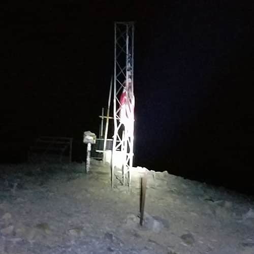
Kyle Canyon is the main jumping off point for hikers, trail runners and mountain climbers in the Mt. Charleston Wilderness. There are two main trailheads: Trail Canyon Trailhead and South Loop Trailhead.
To provide the best experiences, we use technologies like cookies to store and/or access device information. Consenting to these technologies will allow us to process data such as browsing behavior or unique IDs on this site. Not consenting or withdrawing consent, may adversely affect certain features and functions.
Functional
Always active
The technical storage or access is strictly necessary for the legitimate purpose of enabling the use of a specific service explicitly requested by the subscriber or user, or for the sole purpose of carrying out the transmission of a communication over an electronic communications network.
Preferences
The technical storage or access is necessary for the legitimate purpose of storing preferences that are not requested by the subscriber or user.
Statistics
The technical storage or access that is used exclusively for statistical purposes.The technical storage or access that is used exclusively for anonymous statistical purposes. Without a subpoena, voluntary compliance on the part of your Internet Service Provider, or additional records from a third party, information stored or retrieved for this purpose alone cannot usually be used to identify you.
Marketing
The technical storage or access is required to create user profiles to send advertising, or to track the user on a website or across several websites for similar marketing purposes.