The Blue Diamond Hill Southern Triangle | Red Rock Canyon National Conservation Area, Nevada
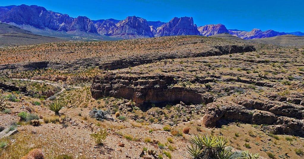
The Blue Diamond Hill Southern Triangle is a formation of two deep majestic canyons just South of the Gypsum Mine Road off of Highway 159. Navigate a few challenges, discover some limestone caves, experience spectacular views! The best time of year for this adventure is Fall through Spring. Click the image or title above for more details.
Turtlehead Peak with a Twist | Red Rock Canyon National Conservation Area, Nevada
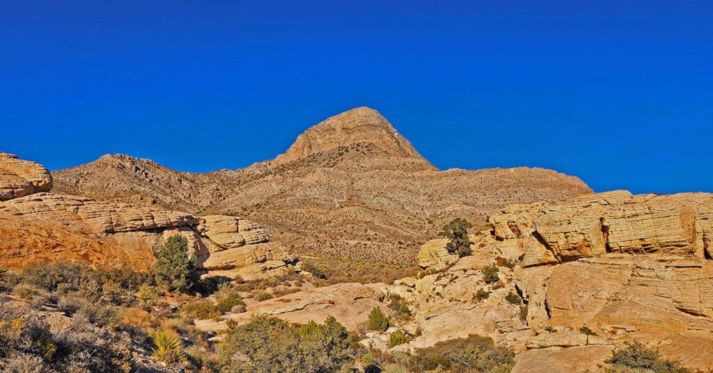
View detailed directions and a video for hiking from the Sandstone Quarry parking area in Red Rock Canyon, NCA to the summit of Turtlehead Peak, along with tips. Also find directions for a cool alternate route to the summit. The alternate route is why this is called Turtlehead Peak with a “Twist”.
Turtlehead Peak, Red Rock Canyon National Conservation Area, Nevada
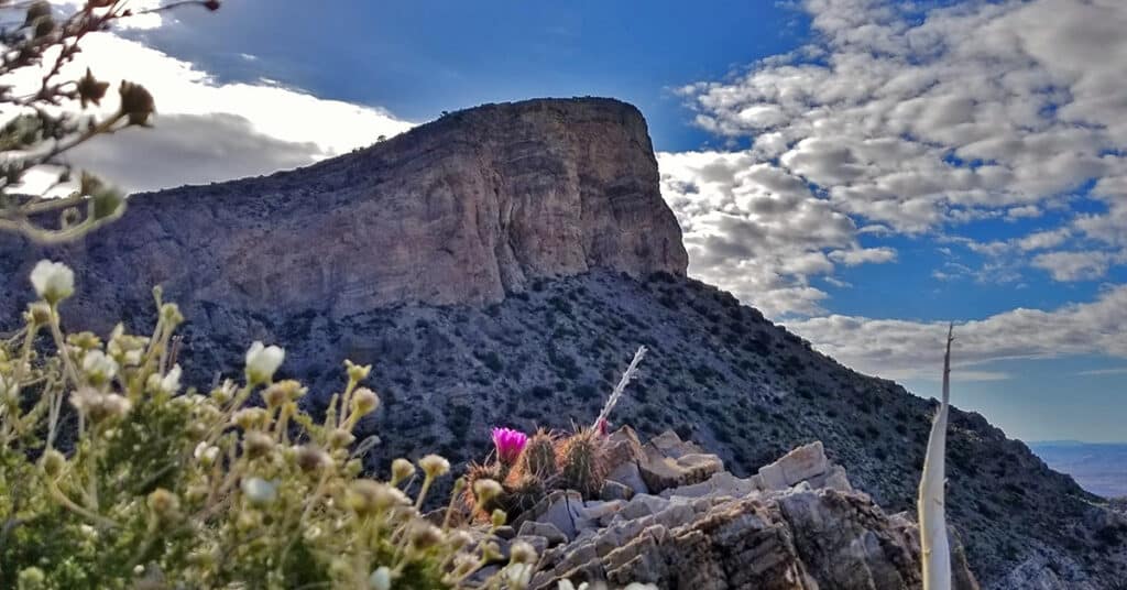
Turtlehead Peak is one of the most popular hikes in Red Rock Canyon. The best time to hike Turtlehead Peak is in the Fall, Winter or Spring, or as early as possible on a Summer morning to avoid high temperatures after 10am. Bring at least 2 quarts of water. The hike takes about 4 hours, allowing for some time to enjoy the summit. In terms of difficulty, it’s a cross between a hike and a climb with some brief boulder sections and a lot of scrambling on loose gravel. Route details: 4.94 mi / 4,306 > 6.285 ft; **Fairly clear trail, but possible to get off track.** Click image or title above for more…
Upper Calico Hills Loop | Calico Basin & Red Rock Canyon National Conservation Area, Nevada
This spectacular 6-mile loop combines 6 or more trails to circle the upper Calico Hills in Red Rock Canyon & Calico Basin, Nevada. The trail passes through two beautiful wild passes in the Calico Hills: Ash Canyon and the mid-Calico Hills Black Corridor Pass. Click the image or title above for all the details.
Western High Ridge | Blue Diamond Hill, Nevada
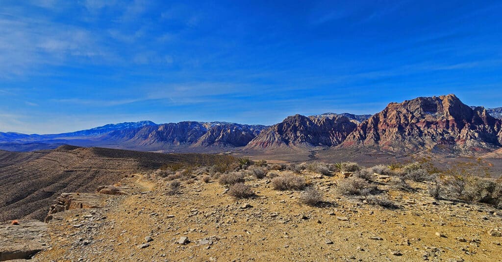
Blue Diamond Hill’s Western High Ridge in Nevada is a spectacular view adventure running parallel and East of the Rainbow Mountains from Juniper Peak to Hidden Peak. View all of these high points from an incredible unique perspective! The best time of year for this adventure is early Fall through late Spring. Click the image or title above for details.
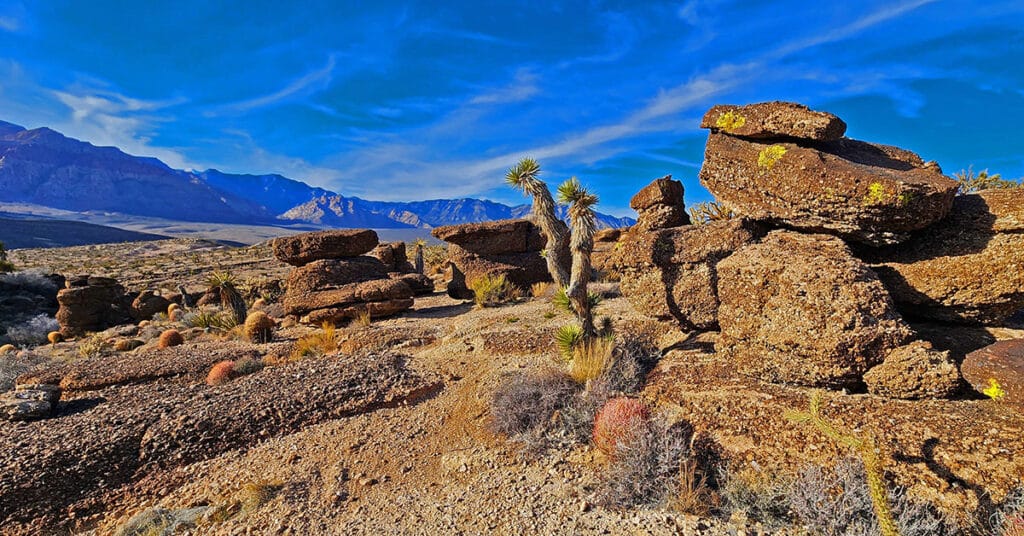
Western Outer Circuit | Blue Diamond Hill, Nevada
This is a circuit of the Western region of Blue Diamond Hill in Red Rock Canyon National Conservation Area, Nevada. The adventure starts at the Fossil Canyon Trailhead and takes a large counterclockwise circuit around Blue Diamond Hill. There are 2 high points on this route with exceptional views and the finish stretch through a beautiful canyon. The first great view is from the summit of a ridgeline West of Blue Diamond Hill. Next is the best 360-degree view on the East Ridge of Blue Diamond Hill. End with a descent through Skull Canyon on the Bob Gnarly Trail.
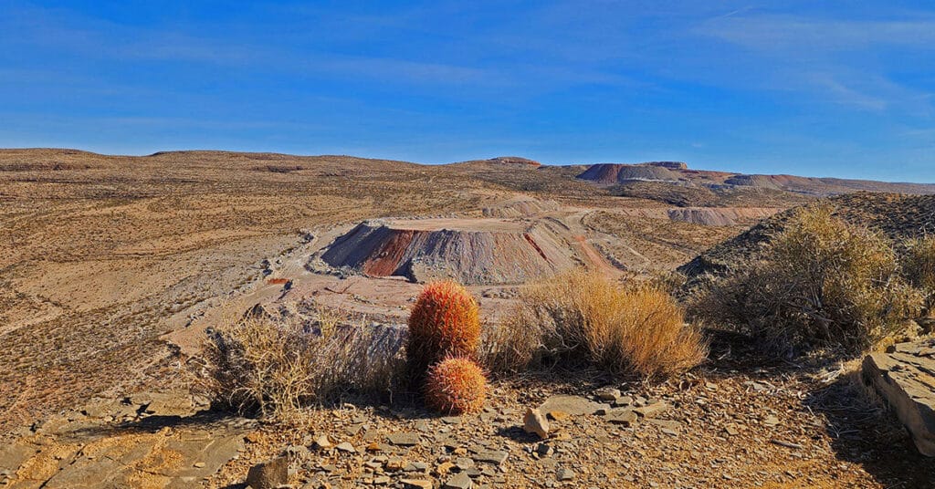
Western Trails and Ridges | Blue Diamond Hill, Nevada
4.5-million-year-old fossils everywhere along this route! These Western trails on Blue Diamond Hill include Fossil Ridge, First Finger, Second Finger, Cat in the Hat and Bunny Trail. Spectacular rock formations on Kibbles ‘N Bits Trail. Great views of Cowboy Canyon and Echo Canyon. Great views of Cowboy Canyon and Echo Canyon. Distant panoramas include The Rainbow Mountains, Red Rock Canyon and the cliffs of the Keystone Thrust in the La Madre Mountains Wilderness. Route Details: About 6-8 miles, multiple times ascending Blue Diamond Hill, good trails. Best time of year: Mid Fall through mid-Spring. Click image or title above for more…
White Rock Mountain Loop Red Rock Canyon National Conservation Area, Nevada
White Rock Mountain Loop Trail in Red Rock Canyon National Conservation Area, Nevada is the ultimate trail for training and for a brief immersion in a rugged desert environment without spending too much time getting there. There are sections with lots of twists and turns which build agility and create the feeling of driving down a curvy road in a fine sports car. And you can easily double the 6.5 mile loop for a 13 mile half marathon, or run it 4 times for a full marathon! Route details: 6.28 mi. / 4,429 > 5,453ft; **Good, well-marked trail.** Click image or title above for more…
