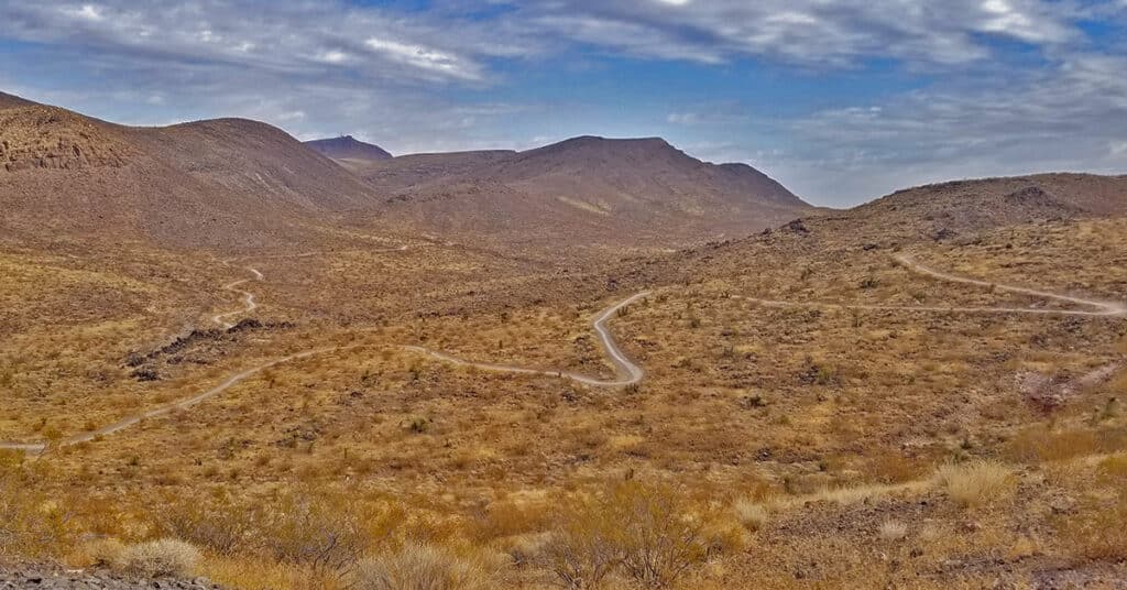
McCullough Hills | North Sloan Canyon, Nevada
The 14,763 acre North McCullough Wilderness in The Sloan Canyon National Conservation Area contains a network of hiking and biking trails weaving through lava flows, glassy zones and ash falls. The main trail is 8 miles long and begins at the McCullough Hills Trailhead. There are a number of off-shoot trails. If you can see a high point, there is probably a trail leading to it. After a high point at 3,125ft the Las Vegas Valley appears with a backdrop of Mt. Potosi, the Rainbow Mountains on the far side of Red Rock Canyon National Conservation Area, the Mt. Charleston Wilderness and the Las Vegas Strip as you descend the last 3 miles to the city of Anthem. Route details: 25 miles **Paved and Unpaved Roads on Loop** Click image or title above for more…
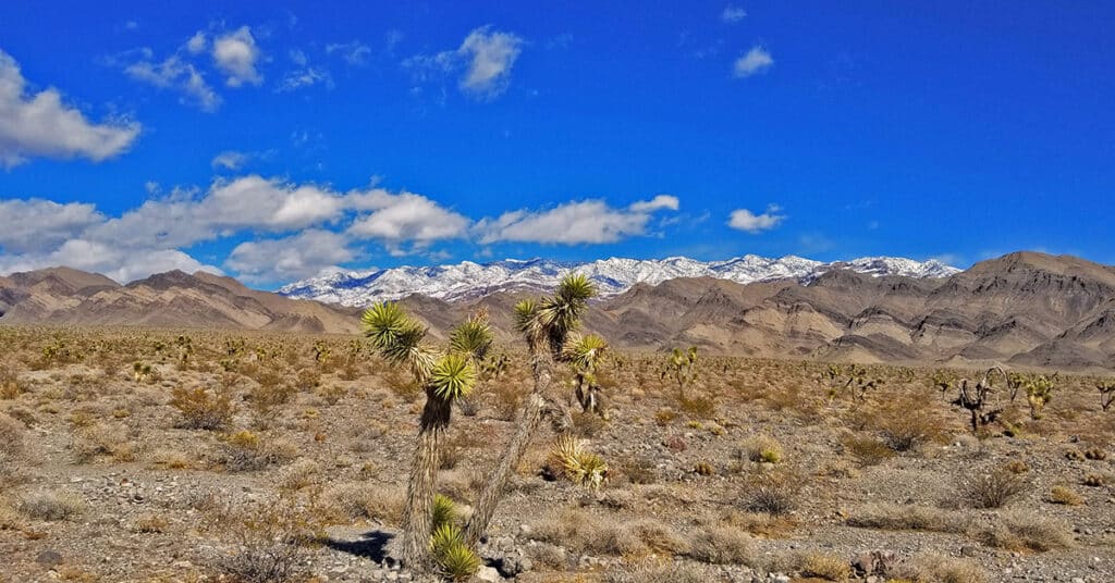
Fossil Ridge End to End | Sheep Range | Desert National Wildlife Refuge, Nevada

The summit of Fossil Ridge is like a scene from The Land That Time Forgot. I don’t think many humans walk the summit of Fossil Ridge…I saw absolutely no sign of human passage…no rock cairns, no camp fires, no foot prints…nothing. Yet, the summit is around a half mile in length and at least 200ft wide. It’s a total, unique world up there with its own Joshua Trees and other vegetation along with some sparse but obvious fossils embedded in the darker rocks. Either the ancient seas here were 2000-4000ft deep or the seas were more shallow and the land has risen. Probably a little of both. I felt like the only human to have ever stood on that place. Route details: Approx. 15 Miles (RT from DNWR HQ); Some Road, Some Wilderness, Cl 3 Climb Click image or title above for more…
Cow Camp Road | Sheep Range | Desert National Wildlife Refuge, Nevada
Cow Camp Road is a branch off of Alamo Road (at the 12-mile point) in the Desert National Wildlife Refuge in Southern Nevada. On the Northern tip of the Sheep Range the 5.7-mile long Cow Camp Road provides a great approach to the Sheep Peak trailhead, Sheep Peak being the 2nd highest point in the Sheep Range at 9750ft. The trailhead elevation is about 5,750ft. In addition there are camping areas in and beyond the canyon pass on Cow Camp Road and beautiful views of the Northern area of the Sheep Range. I took the trip up Alamo Road on a mountain bike, then ascended Cow Camp Road on foot so there are ample 360-degree video views along the way. Route details: 28 Miles RT from DNWR HQ – 4WD Roads Click image or title above for more…
Lower Alamo Road | Sheep Range | Desert National Wildlife Refuge, Nevada
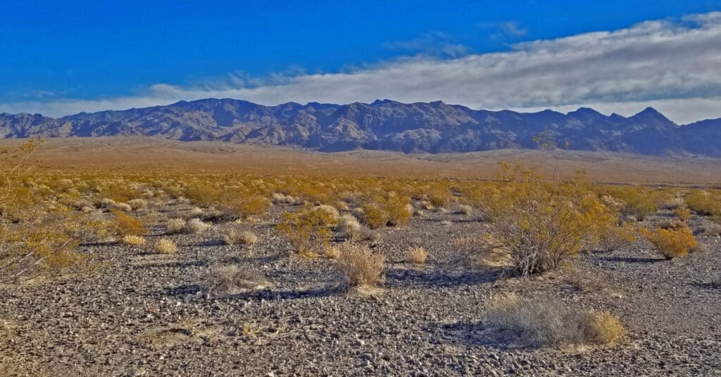
Travel from the Desert National Wildlife Refuge headquarters to the intersection of Alamo Road and Cow Camp Road. This 12-mile stretch skirts the entire West side of the Sheep Range from South to North, and then begins to circle around the Northern tip of the Sheep Range to access trailheads to Sheep Peak and Hayford Peak. The stretch along lower Alamo Road offers awesome views of the entire West and Northwest side of the Sheep Range, Gass Peak, the La Madre Mountains Wilderness and the Mt. Charleston Wilderness including especially Mummy Mountain, Fletcher Peak and Griffith Peak. Otherwise, it’s a pretty barren, windswept stretch of desert. The unpaved 4WD road is pretty firm for a mountain bike but does have a few stretches of deeper gravel and many washboard sections which can scramble the brain on the downhill return! Route details: 24 Miles RT – **4WD Road**. Click image or title above for more…
Gass Peak Road Circuit | Desert National Wildlife Refuge, Nevada

It’s possible to completely circle Gass Peak via the unpaved road system accessed from the Desert National Wildlife Refuge headquarters. However, as you will see below, some of the roads will require 4WD, a dirt bike or mountain bike. It’s a huge adventure well worth the effort. The 7,000ft Gass Peak mountain complex is immense, nearly a mountain range in its own right. It’s a well-defined landmark from nearly everywhere in the Las Vegas Valley. The complete circuit adventure gives you an excellent experience of the terrain North of Las Vegas. Route Details: 35 mi Mountain Bike; **Unpaved Roads** Click image or title above for more…
