01 Blue Diamond Hill, Nevada | Overview
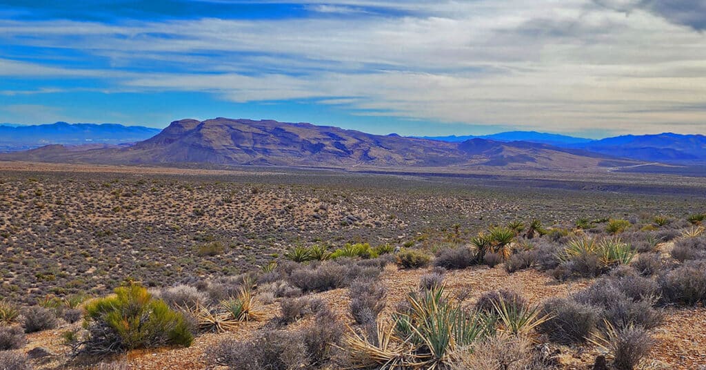
Blue Diamond Hill in Red Rock Canyon, Nevada, features a network of multi-use trails including hiking, running, mountain biking and equestrian. The trails offer various challenge levels, mostly in the class 1-3 climbing categories. However, there are class 4-5 rock climbing possibilities. Late Spring through early Fall. Follow thumbnail images to view the details you will need to plan your adventures here. Click image or title above for more…
01 Calico and Brownstone Basins Nevada Overview
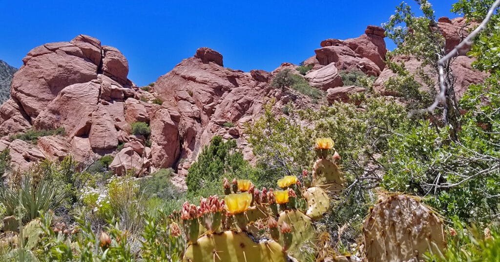
Calico and Brownstone Basins sit just East of Red Rock Park in Nevada. There are numerous Jurassic Era Aztec colorful red and white rock hills in and around the basin which makes it a great place to explore, hike, run and climb. Red Springs Desert Oasis in the lower basic is a nice picnic area with a mile-long interpretive board walk. Further up past a small residential community there is a trailhead parking area for hikers and runners exploring the hills and canyon washes of the basin, which are fairly wild and untouched. Best time of year for adventures here: Mid-Fall to early Spring below 5,000ft; Fall to Spring above 5000ft. Temperatures at the higher elevations are usually in the mid-70s during this time even when Las Vegas Valley is up to 95 degrees! Winter temperatures in the lower elevations can be in the mid-60s! Follow adventure thumbnail images on this page to view individual adventures in Calico Basin. Follow thumbnail images to view the details you will need to plan your adventures here. Click image or title above for more…
01 Death Valley National Park Overview
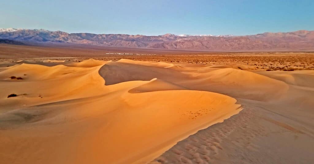
Death Valley National Park, California: View Hiking and Trail Running Adventures in Death Valley, one of the hottest places on planet Earth! Death Valley National Park is massive and offers deep wilderness adventure opportunities, car camping and sightseeing from numerous spectacular viewpoints, and lodging in cabins, motels and a luxurious Inn. Hiking includes everything from the salt pan desert floor below sea level to the spectacular peaks of the Panamint Mountain Range topping 11,000ft in elevation. In Death Valley you can find weird salt formations and ancient Bristlecone Pine trees. Best time of year to visit lower regions: Late Fall through Early Spring. Best time of year to visit the Panamint Mountains above 6,000ft: Late Spring through early Fall. Follow thumbnail images to view the details you will need to plan your adventures here. Click image or title above for more…
01 Gass Peak Overview | Desert National Wildlife Refuge, Nevada
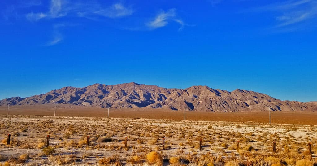
To stand on Gass Peak, towering 6,000ft above the Las Vegas Strip, is to see a view of Las Vegas not even surpassed by the view you’d experience in an airplane! Here you will see numerous attempts to summit Gass Peak from the North end of Rainbow Avenue in Las Vegas. The attempts eventually succeed, followed by a total circuit of the massive Gass Peak and a grand crossing beginning at the Desert National Wildlife Refuge visitor center off Hwy 95 and Corn Creek Road and ending on the North end of Rainbow Avenue in Las Vegas. Best time of year for adventures here: Mid-Fall to Mid-Spring. When temperatures in the Las Vegas Valley rise above 75-80 degrees these destinations can become uncomfortable and even dangerous. However, during the Winter months expect comfortable mid-day temperatures around 60 degrees. Follow thumbnail images to view the details you will need to plan your adventures here. Click image or title above for more…
01 La Madre Mountains Wilderness, Nevada | Overview
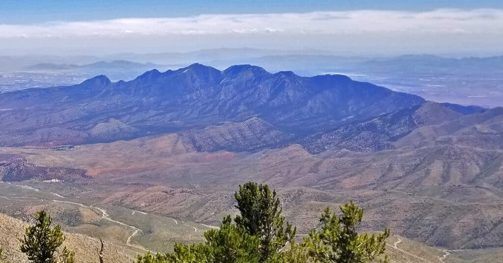
The La Madre Mountains Wilderness in Nevada is unknown to most visitors and even many locals. Yet it is 4 times the size of Red Rock Park, bordering the North end of the park. The cliffs you see on the North end of Red Rock Park are a geological feature called the Keystone Thrust on the Southern border of the La Madre Mountains Wilderness. The La Madre Mountains Wilderness stretches from its Western point bordering the Mt. Charleston Wilderness at Lovell Canyon to its Eastern point bordering Las Vegas. The highest point is La Madre Mountain at about 8,154ft elevation. Best time of year for adventures in the higher elevations here: Fall and Spring. You may need to navigate snow during Winter months. When Las Vegas Valley temperatures rise above 95 degrees, the higher elevations can become uncomfortably hot and even dangerous. Follow thumbnail images on this page to view individual adventures in the La Madre Mountains Wilderness. Follow thumbnail images to view the details you will need to plan your adventures here. Click image or title above for more…
01 Lake Mead National Recreation Area, Nevada, Overview
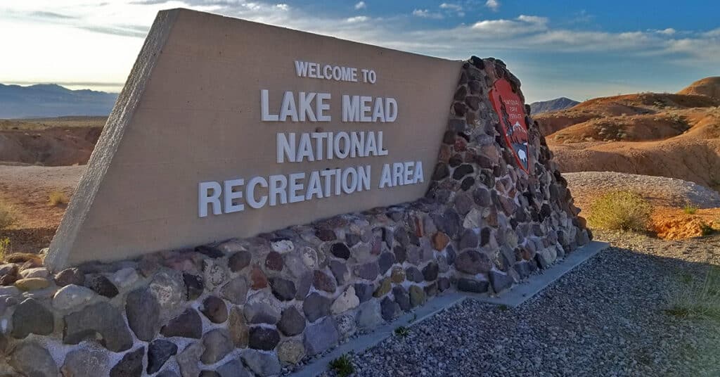
Lake Mead National Recreation Area in Nevada and Arizona offers multiple recreational opportunities from climbing desert mountains and hills, canyons, ridges and plateaus with spectacular views to hiking, biking, boating, kayaking and swimming to picnicking and camping and much more. Don’t miss the great interpretive center at the Southshore Road Park entrance. We’re systematically exploring both popular and largely unknown adventure destinations and adding these to LasVegasAreaTrails.com. Best time of year for adventures here: Mid-Fall to Mid-Spring. When temperatures in the Las Vegas Valley rise above 75-80 degrees these destinations can become uncomfortable and even dangerous. However, during the Winter months expect comfortable mid-day temperatures around 60-70 degrees. Follow thumbnail images to view the details you will need to plan your adventures here. Follow thumbnail images to view the details you will need to plan your adventures here. Click image or title above for more…
01 Las Vegas Area Legendary Wilderness Adventures, Nevada
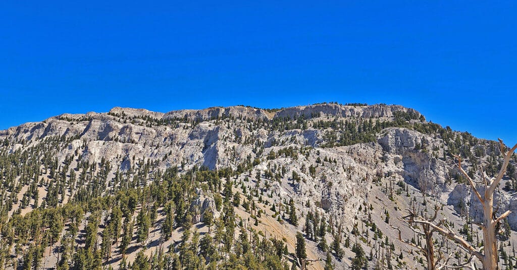
The word “legendary” refers to a wonderous, total immersion in the wilderness. The focus is not human achievement, but rather, the spectacular legendary wilderness! These Legendary Wilderness Adventures are marked by: Total immersion in the wilderness for the greater part of a day; Pathless routes to and beyond multiple landmark high points; and often, crossing from one major wilderness area to another through an artificial human boundary.
01 Las Vegas Metro Area Trails Overview | Nevada
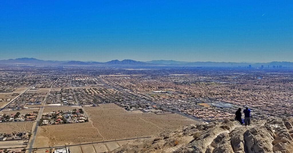
Vegas Metro Area Trails, Nevada, is a category that includes trails both within the Las Vegas Metro Area and on the outskirts of Las Vegas, but not within any of the surrounding wilderness areas. Las Vegas is surrounded by some of the most spectacular wilderness areas in the U.S. However, there are trails in and near Las Vegas where the hiker, trail runner, biker or climber may enjoy a wilderness experience close to home. The trails in this category fit that scenario. There are places here that can transport you instantly into a wilderness setting. Best time of year for adventures here: Mid-Fall to Mid-Spring. When temperatures in the Las Vegas Valley rise above 75-80 degrees these destinations can become uncomfortable and even dangerous. However, during the Winter months expect comfortable mid-day temperatures around 60 degrees. Follow the thumbnail images on this page to detailed adventure descriptions complete with videos and images. Click image or title above for more…
01 Lovell Canyon Overview | La Madre Mountains Wilderness | Spring Mountains, Nevada
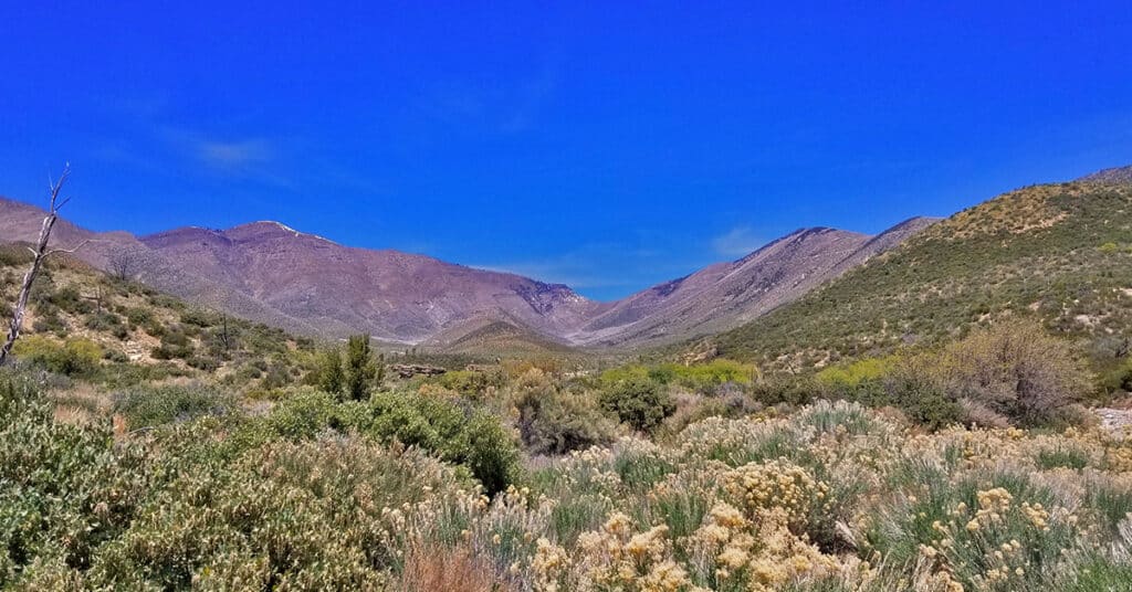
Lovell Canyon is a beautiful, little known canyon beginning at the Southern base of the saddle between Griffith Peak and Harris Mountain and extending all the way to Hwy 160 near Potosi Mountain. Lower Lovell Canyon skirts the entire length of the Rainbow Mountains Wilderness and provides a unique access to that wilderness. Upper Lovell Canyon is bordered by Sexton Ridge and Wilson Ridge. Lovell Canyon is within the La Madre Mountains Wilderness area. There are improved car camping areas throughout Lovell Canyon and it is a popular recreation destination for those who know of its existence. Lovell Canyon Road spans the 13-mile length of lower Lovell Canyon, ending at the Lovell Canyon trailhead and camping area. This area provides access to numerous hiking opportunities in Lovell Canyon along with wilderness excursions up Sexton Ridge to Griffith Peak and up Wilson Ridge to Harris Mountain. These two ridges border upper Lovell Canyon. Best time of year for adventures here: Late Fall to early Spring below 5,000ft; Early Summer to Mid-Fall above 5000ft. Temperatures at the higher elevations are usually in the mid-70s even when Las Vegas Valley is up to 115 degrees! Winter temperatures in the lower elevations will average in the 40’s to 60’s. Expect to navigate Winter snow above 8,000ft. Follow the thumbnail images to view individual adventures in Lovell Canyon, Nevada. Click image or title above for more…
01 Mt Charleston Wilderness Deer Creek Road Trails Overview | Spring Mountains, Nevada
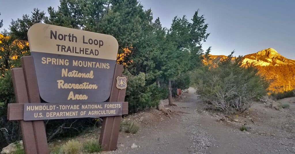
Deer Creek Road is the passage way between the two major canyons in the Mt. Charleston Wilderness: Kyle Canyon and Lee Canyon. There are a number of trailheads on Deer Creek Road to wilderness destinations. In addition there are recreational camping and picnicking destinations on Deer Creek Road along with youth camps. So, as you breeze along Deer Creek Road on your way between Kyle and Lee Canyons, watch for trailheads that lead to a premier rock climbing destination, the main Mt. Charleston North Loop Trail and “back door” hidden access to the vast, beautiful, secluded wilderness area surrounding Mummy Mountain. Best time of year for adventures here: Early Summer to Mid-Fall. Temperatures at the higher elevations are usually in the mid-70s even when Las Vegas Valley is up to 115 degrees! Expect to navigate snow at other times of the year. Follow thumbnail images to view the details you will need to plan your adventures here. Click image or title above for more…

