01 La Madre Mountains Wilderness, Nevada | Overview
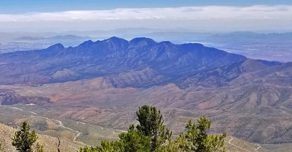
The La Madre Mountains Wilderness in Nevada is unknown to most visitors and even many locals. Yet it is 4 times the size of Red Rock Park, bordering the North end of the park. The cliffs you see on the North end of Red Rock Park are a geological feature called the Keystone Thrust on the Southern border of the La Madre Mountains Wilderness. The La Madre Mountains Wilderness stretches from its Western point bordering the Mt. Charleston Wilderness at Lovell Canyon to its Eastern point bordering Las Vegas. The highest point is La Madre Mountain at about 8,154ft elevation. Best time of year for adventures in the higher elevations here: Fall and Spring. You may need to navigate snow during Winter months. When Las Vegas Valley temperatures rise above 95 degrees, the higher elevations can become uncomfortably hot and even dangerous. Follow thumbnail images on this page to view individual adventures in the La Madre Mountains Wilderness. Follow thumbnail images to view the details you will need to plan your adventures here. Click image or title above for more…
01 Lovell Canyon Overview | La Madre Mountains Wilderness | Spring Mountains, Nevada
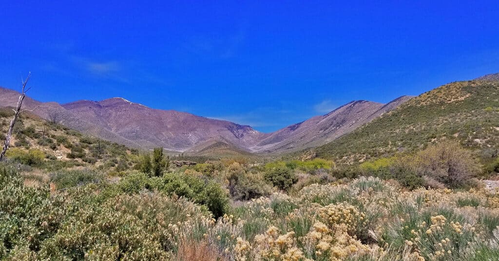
Lovell Canyon is a beautiful, little known canyon beginning at the Southern base of the saddle between Griffith Peak and Harris Mountain and extending all the way to Hwy 160 near Potosi Mountain. Lower Lovell Canyon skirts the entire length of the Rainbow Mountains Wilderness and provides a unique access to that wilderness. Upper Lovell Canyon is bordered by Sexton Ridge and Wilson Ridge. Lovell Canyon is within the La Madre Mountains Wilderness area. There are improved car camping areas throughout Lovell Canyon and it is a popular recreation destination for those who know of its existence. Lovell Canyon Road spans the 13-mile length of lower Lovell Canyon, ending at the Lovell Canyon trailhead and camping area. This area provides access to numerous hiking opportunities in Lovell Canyon along with wilderness excursions up Sexton Ridge to Griffith Peak and up Wilson Ridge to Harris Mountain. These two ridges border upper Lovell Canyon. Best time of year for adventures here: Late Fall to early Spring below 5,000ft; Early Summer to Mid-Fall above 5000ft. Temperatures at the higher elevations are usually in the mid-70s even when Las Vegas Valley is up to 115 degrees! Winter temperatures in the lower elevations will average in the 40’s to 60’s. Expect to navigate Winter snow above 8,000ft. Follow the thumbnail images to view individual adventures in Lovell Canyon, Nevada. Click image or title above for more…
Brownstone Trail | Calico Basin | Brownstone Basin | La Madre Mountains Wilderness, Nevada
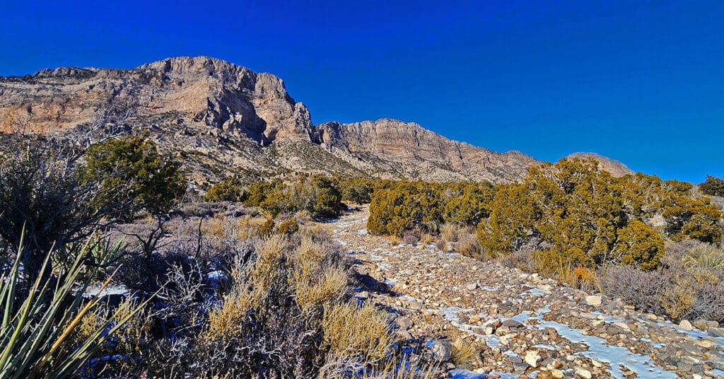
The Brownstone Trail adventure spans Nevada’s Calico Basin, Brownstone Basin and La Madre Mountains Wilderness. Along the way, there are spectacular views of the La Madre Mountains Ridgeline, Damsel Peak, the Las Vegas Valley and Strip and the Jurassic Era calico sandstone Gray Cap Ridge. Click the image or title above for more detail.
Burnt Peak | La Madre Mountains Wilderness, Nevada
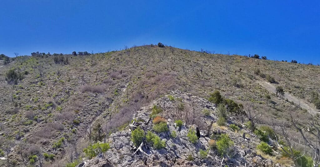
Burnt Peak is located in the La Madre Mountains Wilderness of Nevada just a mile or two from La Madre Mountain. The summit is about 7,900ft, similar to the summits of La Madre Mountain and El Padre Mountain. All three mountains make up the section of the Keystone Thrust at the rear (North end) of Red Rock Canyon National Conservation Area and Calico Basin in Nevada. Route details: 8 Miles RT / 4500-7900ft; *Some Road, Mostly Wilderness* Click image or title above for more…
El Padre Mountain, La Madre Mountains Wilderness, Nevada
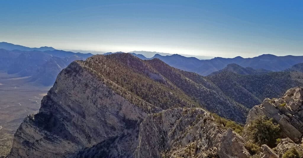
At 8,093 feet in elevation, El Padre Mountain, is the second highest mountain in the La Madre Mountains Wilderness and offers sweeping views of Las Vegas and Red Rock Canyon National Conservation Area, Nevada. Route details: 24 mi / 4500-7500ft; *Some Road, Mostly Wilderness* Click image or title above for more…
Gateway Canyon & Gray Cap Ridge NW | Calico Basin, Nevada
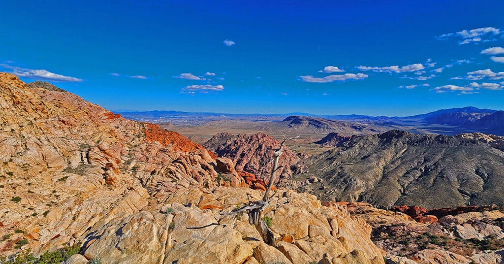
Wander through a unique, hidden world in the Northwest area of Gray Cap Ridge. Gateway Canyon will whirl you around and by the time you emerge into the Northwest area of Gray Cap Ridge you may wonder if you’d landed in another dimension! Finding a non-vertical way down into the Brownstone Basin can be a real puzzle, but great fun. Click the image or title above for details.
Gray Cap Ridge Brownstone Basin Loop | La Madre Mountains Wilderness, Nevada
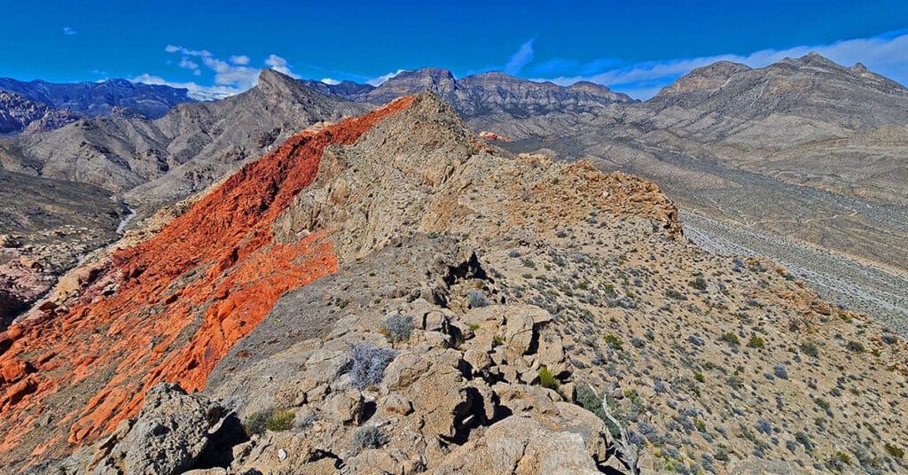
Beginning at Gene’s Trailhead in the Calico Basin, traverse most of Gray Cap Ridgeline from the SE Summit, then return to the Calico Basin by way of the Brownstone Trail and Road. Best time of year for this adventure is Spring or Fall. Click the image or title above for all the details.
Gray Cap Ridge Southeast Summit | La Madre Mountains Wilderness, Nevada
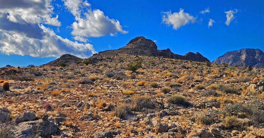
Gray Cap Ridge Southeast Summit in Nevada is an easy hike with spectacular views. Trails get you nearly to the summit. Hike begins at Gene’s Trailhead in the Calico Basin and navigates to the summit in the La Madre Mountains Wilderness. Best time of year for this adventure is Spring or Fall. Click the image or title above for more details.
Griffith Peak South Approach from Lovell Canyon | Spring Mountains, Nevada
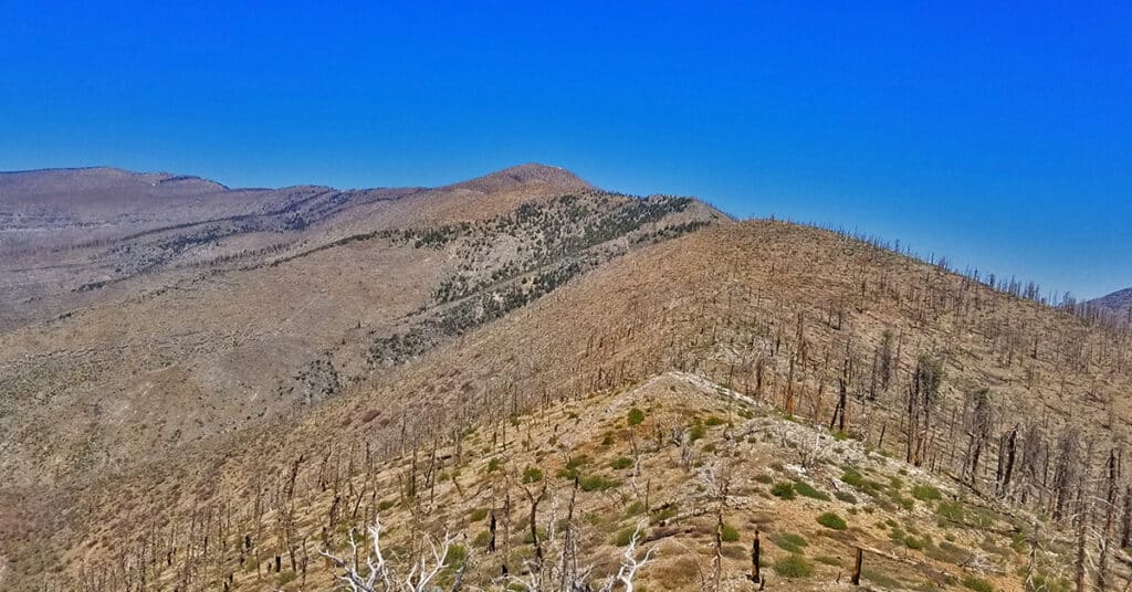
Overview at least 3 approaches to Griffith Peak summit from the Lovell Canyon Trail Trailhead. This approach to the summit will be longer than the traditional Kyle Canyon approach, with 2000ft more elevation gain, but the view is wide open all the way to Griffith Peak summit and the terrain snow-free for an additional month both earlier and later in the season! With this approach route you could be the first and last person to summit Griffith Peak this year. Click image or title above for more…
Griffith Peak Southern Approach from Sexton Ridge Above Lovell Canyon, Nevada
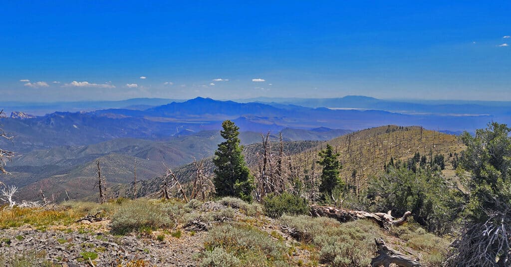
Sexton Ridge is a 5-7 mile ridge South of Griffith Peak beginning at about 8,400ft and leading to the 11,060ft summit of Griffith Peak. However, it requires an additional 2,500ft ascent to get to the beginning of Sexton Ridge! The entire ridge including its access point from the summit of the Griffith Shadow Loop in Lovell Canyon is pure wilderness with some major brush navigation at points. Otherwise, this is a class 2 level climbing/scrambling experience. The views along the entire route are spectacular including Lovell Canyon, Griffith Peak, Harris Mountain and the saddle between, Potosi Mountain, Gass Peak, the Sheep Range, Las Vegas Valley and beyond, the Nopah Range, Telescope Peak, Mummy Mountain, Fletcher Peak, Lee Peak, Charleston Peak and too many more incredible points of reference to mention here! This could be a grand 2-day adventure with incredible nighttime views. Route details: 25 mi / 5000-11,060ft; *Some Trail, Mostly Wilderness* Click image or title above for more…

