01 Lovell Canyon Overview | La Madre Mountains Wilderness | Spring Mountains, Nevada
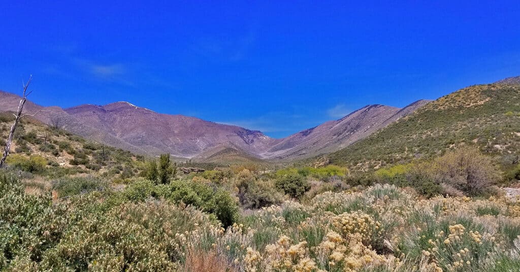
Lovell Canyon is a beautiful, little known canyon beginning at the Southern base of the saddle between Griffith Peak and Harris Mountain and extending all the way to Hwy 160 near Potosi Mountain. Lower Lovell Canyon skirts the entire length of the Rainbow Mountains Wilderness and provides a unique access to that wilderness. Upper Lovell Canyon is bordered by Sexton Ridge and Wilson Ridge. Lovell Canyon is within the La Madre Mountains Wilderness area. There are improved car camping areas throughout Lovell Canyon and it is a popular recreation destination for those who know of its existence. Lovell Canyon Road spans the 13-mile length of lower Lovell Canyon, ending at the Lovell Canyon trailhead and camping area. This area provides access to numerous hiking opportunities in Lovell Canyon along with wilderness excursions up Sexton Ridge to Griffith Peak and up Wilson Ridge to Harris Mountain. These two ridges border upper Lovell Canyon. Best time of year for adventures here: Late Fall to early Spring below 5,000ft; Early Summer to Mid-Fall above 5000ft. Temperatures at the higher elevations are usually in the mid-70s even when Las Vegas Valley is up to 115 degrees! Winter temperatures in the lower elevations will average in the 40’s to 60’s. Expect to navigate Winter snow above 8,000ft. Follow the thumbnail images to view individual adventures in Lovell Canyon, Nevada. Click image or title above for more…
Fletcher Canyon Trailhead / Harris Mt Griffith Peak Circuit | Mt Charleston Wilderness, Nevada
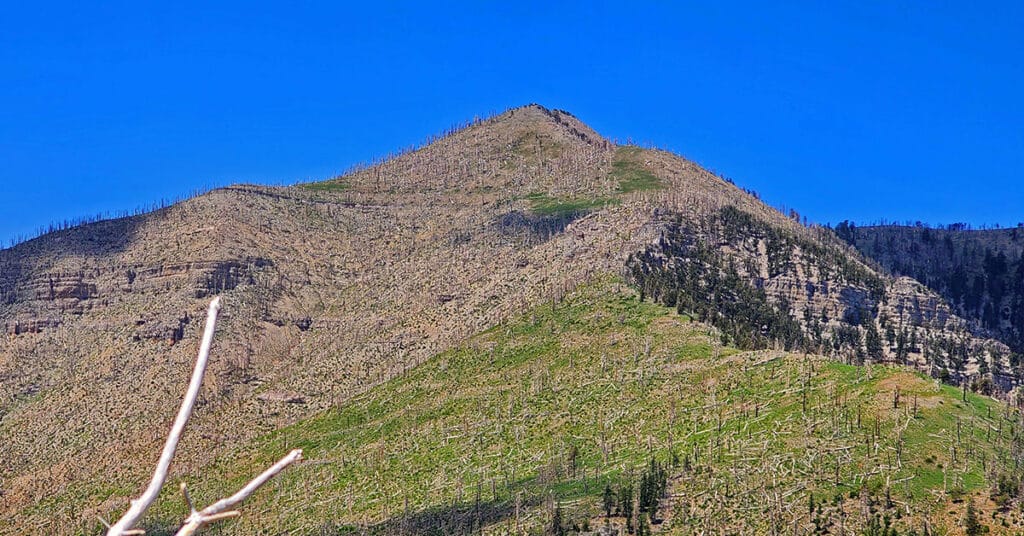
Make a circuit from The Fletcher Canyon Trailhead to Harris Mountain and Griffith Peak, then return to your start point. After accomplishing the most direct approach to Harris Mountain summit, cross the saddle to Griffith Peak, descend to The South Loop Trailhead and finally return on Kyle Canyon Road to Fletcher Canyon Trailhead. This route is half wilderness and half trails. Elevation gain is from 7,000-11,060ft plus additional ascent and descent along the way. Best time of year for this adventure: Summer through mid-Fall. Click the title or image above for details.
Griffith Crater? Exploration of a Potential Meteor Crater Below Griffith Peak, Nevada
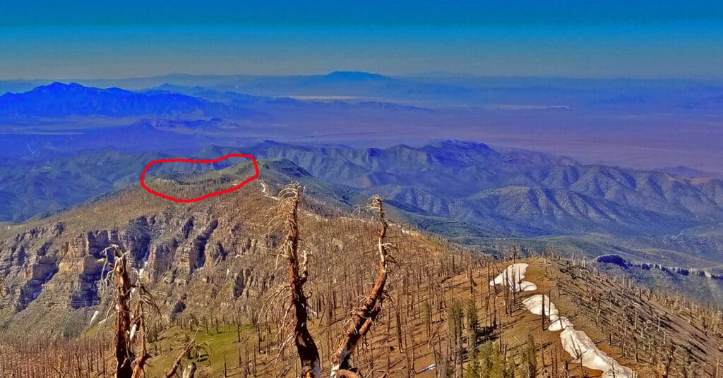
While going over images I’d previously taken from the summit of Griffith Peak and refining the images using Photoshop, I noticed a curious formation on Sexton Ridge about a mile below Griffith Peak. There appeared to be a perfect meteor crater. From the image, the dimensions of the crater would be a near perfect circular shape, about 600ft in circumference, and about 75-150ft deep. Sexton Ridge is the ridge system that borders the West side of Lovell Canyon spanning the approximate 10-mile distance from the 11,060ft Griffith Peak to the Lovell Canyon Trailhead at about 5,500ft. Route Details: About 16 miles RT; *Some Trail, Mostly Wilderness* Click image or title above for more…
Griffith Peak South Approach from Lovell Canyon | Spring Mountains, Nevada
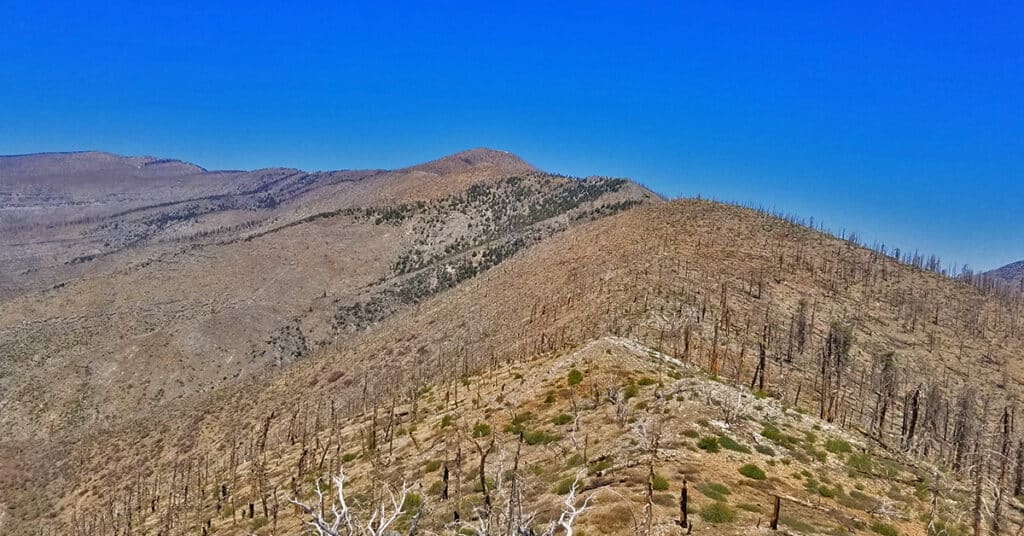
Overview at least 3 approaches to Griffith Peak summit from the Lovell Canyon Trail Trailhead. This approach to the summit will be longer than the traditional Kyle Canyon approach, with 2000ft more elevation gain, but the view is wide open all the way to Griffith Peak summit and the terrain snow-free for an additional month both earlier and later in the season! With this approach route you could be the first and last person to summit Griffith Peak this year. Click image or title above for more…
Griffith Peak Southern Approach from Sexton Ridge Above Lovell Canyon, Nevada
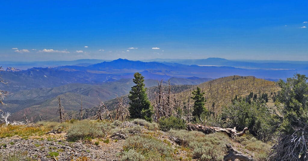
Sexton Ridge is a 5-7 mile ridge South of Griffith Peak beginning at about 8,400ft and leading to the 11,060ft summit of Griffith Peak. However, it requires an additional 2,500ft ascent to get to the beginning of Sexton Ridge! The entire ridge including its access point from the summit of the Griffith Shadow Loop in Lovell Canyon is pure wilderness with some major brush navigation at points. Otherwise, this is a class 2 level climbing/scrambling experience. The views along the entire route are spectacular including Lovell Canyon, Griffith Peak, Harris Mountain and the saddle between, Potosi Mountain, Gass Peak, the Sheep Range, Las Vegas Valley and beyond, the Nopah Range, Telescope Peak, Mummy Mountain, Fletcher Peak, Lee Peak, Charleston Peak and too many more incredible points of reference to mention here! This could be a grand 2-day adventure with incredible nighttime views. Route details: 25 mi / 5000-11,060ft; *Some Trail, Mostly Wilderness* Click image or title above for more…
Griffith Shadow Loop | Lovell Canyon, Nevada
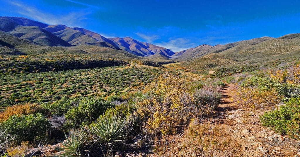
Griffith Shadow Loop takes you up the West side of Lovell Canyon for spectacular views up and down the canyon with Griffith Peak clearly visible ahead at the summit of Sexton Ridge. You’ll then descend into the base of Lovell Canyon, cross the central wash and experience the East side of the canyon. This trail is one of the best overall experiences of Lovell Canyon without serious climbing on the upper slopes. Use the Griffith Shadow Loop to get your bearings in Lovell Canyon for future wilderness exploration in the canyon’s upper reaches! Avoid mid-Summer due to high temperatures. Winter may bring snow on the trail. Click the title or image above for details.
Handy Peak Loop | Lovell Canyon, Nevada
Handy Peak Loop is a short trail that circles Handy Peak, a prominent central landmark in Lovell Canyon, Nevada. Experience spectacular views up and down the length of Lovell Canyon.
Harris Mountain from Lovell Canyon | La Madre Mountains Wilderness | Spring Mountains, Nevada
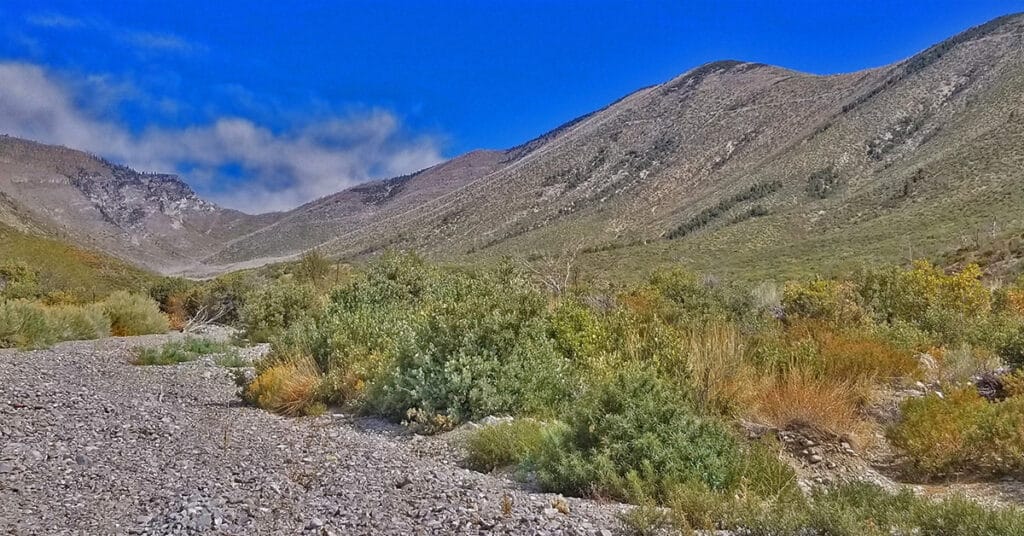
Harris Mountain from Lovell Canyon is a challenging long distance adventure with an elevation gain of over 4,000ft. However, the elevation gain and the distance are not the main challenge. The greatest difficulty factor is the terrain covered which includes a 5-mile rocky canyon wash, navigating brush and burned out fallen trees and at least 2 miles of steep avalanche slopes – all with no trails.
However, even given these difficulties the rewards are great including:
*A unique high altitude perspective of Lovell Canyon from its East side
*Total peace and solitude – the experience of having a major canyon all to yourself
*Views of the entire expanse of Lovell Canyon all the way to Potosi Mountain, Griffith Peak, Sexton Ridge and the Lovell Canyon, Handy Peak, Griffith Shadow Loop trails area.
Landmark Bluff Circuit | Lovell Canyon, Nevada
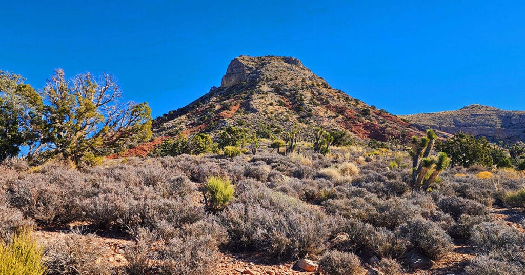
Make a complete 16+ mile loop of Landmark Bluff in Lovell Canyon, Nevada. Along the way, discover a number of potential summit routes to the bluff. The pathless North side of the bluff is beautifully forested with pines and junipers. There are spectacular views of the Mt. Charleston Wilderness and the Wilson Ridge.
Landmark Bluff Summit | Lovell Canyon, Nevada
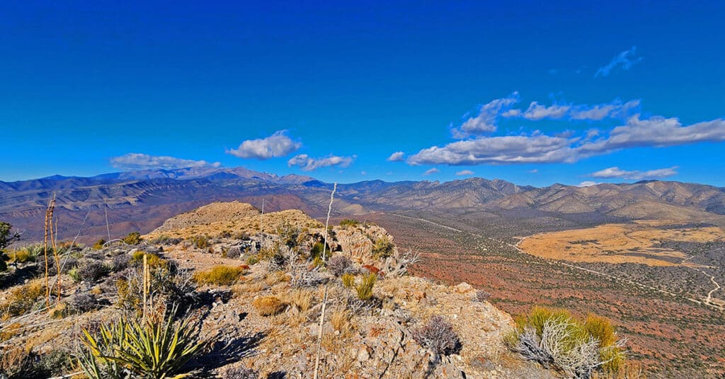
Landmark Bluff in Lovell Canyon, Nevada is surrounded by steep loose rock slopes, cliffs and vertical ledges. But there is one little-known narrow canyon gully on this massive 5-mile, 12,00ft bluff that will get you to the summit at an easy class 2 level walk. And the view from the summit of this high, stand-alone bluff is spectacular! Discover the key to summiting Landmark Bluff.

