01 Rainbow Mountain Wilderness, Nevada Overview
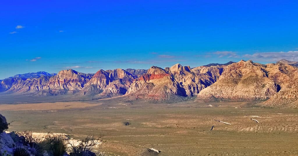
The Rainbow Mountain Wilderness is composed of majestic colorful Aztec Red Rock Jurassic Era Peaks. It stretches from the Keystone Thrust above Red Rock Park to the beginning of Potosi Mountain in the Southern portion of the Spring Mountains of Nevada. The most customary way of experiencing these peaks is to approach them from their base from Red Rock Park to Potosi Mountain. Once you’ve navigated through the thick brush at the base of the peaks, you are faced with vertical and near vertical cliffs in order to reach the summit. For this reason, the Rainbow Mountains are a popular destination for rock climbers of all levels. My non-traditional approach involves discovery “from the top down”. The Rainbow Mountains Upper Crest Ridgeline sits above the Rainbow Mountains and parallels its entire wilderness stretch. Most of the peaks can be reached from this ridgeline above with a class 2 and 3 climbing difficulty level. Best time of year for adventures in the higher elevations here: Fall through Spring. When Las Vegas Valley temperatures rise above 85 degrees, the higher elevations can become uncomfortably hot and even dangerous. The higher elevations can drop below 30 degrees during the Winter months. Follow thumbnail images to view the details you will need to plan your adventures here. Click image or title above for more…
02 North Upper Crest Ridgeline | Rainbow Mountain Wilderness, Nevada
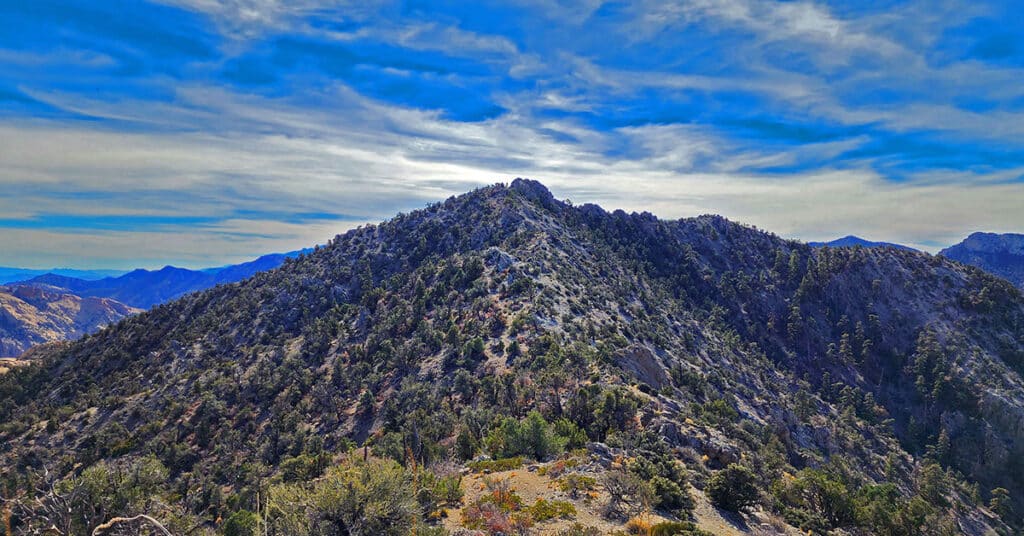
Traverse the Northern Upper Crest Ridgeline between Willow Spring in Red Rock Canyon NCA and North Peak in the Rainbow Mountain Wilderness, Nevada. This ridgeline runs parallel just above to the West of the Rainbow Mountains bordering the West side of Red Rock Canyon. Discover the unmarked trail that takes you all the way. Return by Rock Gap Road.
03 Rainbow Mountains South Upper Crest Ridgeline | Rainbow Mountain Wilderness, Nevada
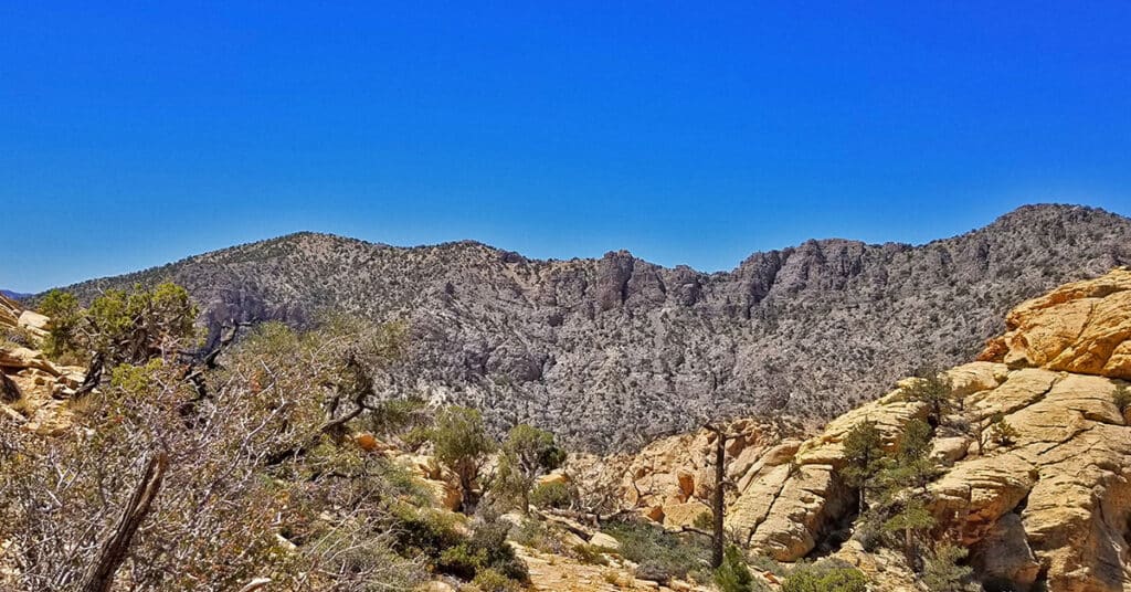
The Rainbow Mountains Upper Crest Ridgeline stretches above the Rainbow Mountains summits from its Southern point at Mountain Springs Trailhead on Highway 160 to its Northern point around the Willow Springs area of Red Rock Park. Here we focus on the Southern half of the Rainbow Mountains Upper Crest Ridgeline from Mountain Springs to Hidden Peak. Route details: 12 mi/ 5,900 > 7,000ft (approx.); Some Trails, Some Wilderness. Click image or title above for more…
04 Mid Upper Crest Ridgeline | Rainbow Mountain Wilderness, Nevada
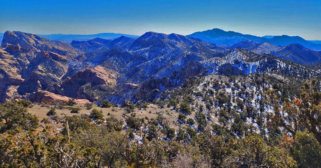
Experience the Rainbow Mountains Mid Upper Crest Ridgeline from just South of North Peak to Rainbow Mountain. Pictures, video, detailed description. This adventure begins at Willow Spring in Red Rock Canyon, ascends Rocky Gap Road to the Bridge Mountain/North Peak Trailhead then ascends to the ridgeline, turns South taking the Bridge Mountain Trail. Finally, leave the Bridge Mountain Trail to continue South along the Upper Crest Ridgeline. Click image or title above for more…
Arnight Trail | Red Rock Canyon, Nevada
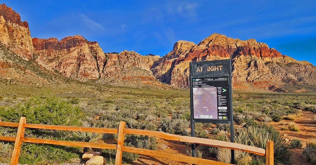
The Arnight Trail in Red Rock Canyon, Nevada, may be the shortest route to your goal if you want to summit Juniper Peak or scale the Eastern cliffs of Rainbow Mountain. The Arnight Trail begins at the Oak Creek Canyon Trailhead and continue Northwest for 1.2-miles until it intersects with the Knoll Trail near the entrance of Juniper Canyon. Here we point out the rock climber’s approach route to the Eastern cliffs of Rainbow Mountain and the summit route to Juniper Peak, along with an important reference stone at the base of Juniper Canyon.
Bonnie Springs Ranch | Red Rock Canyon
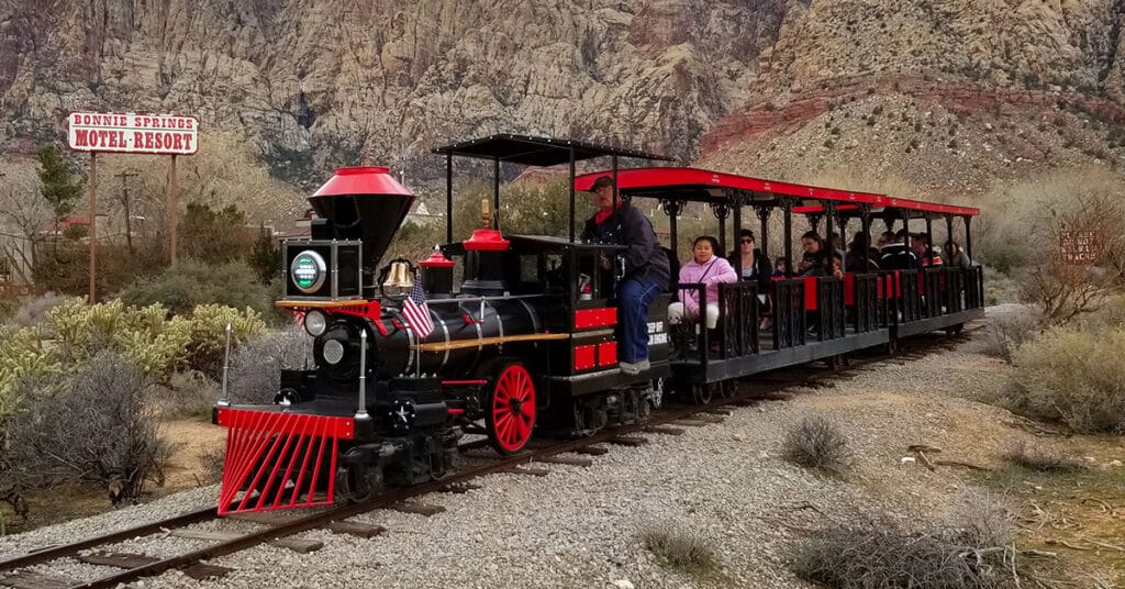
In mid-March of 2019, after about 45 years of operation, Bonnie Springs Ranch and it’s Old Nevada replica mining town, just West of Red Rock National Park, closed down. We feature Bonnie Springs Ranch here not because it is a hiking destination, but rather a long-time fixture in Red Rock Canyon. Click image or title above for more…
Bridge Mountain in Rainbow Mountain Wilderness, Nevada
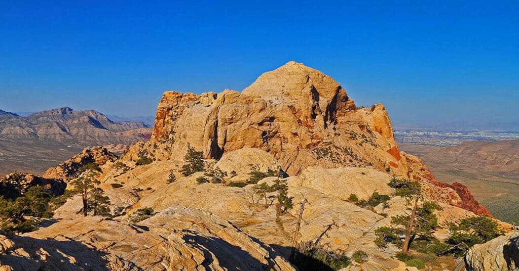
Bridge Mountain in the Rainbow Mountain Wilderness of Nevada is one of the most popular rock climbing destinations in the area. Summiting Bridge Mountain is challenging and there is at least one class 3+ exposed stretch. The most customary summit approach begins in the Willow Creek Picnic Area in Red Rock Canyon and ascends Rocky Gap Road to a high point before branching off to the approach trail. Route Details: 17 mi/ 4500 > 7003ft; Some Trails, Some Wilderness. Click image or title above for more…
Dales Trail | Red Rock Canyon, Nevada
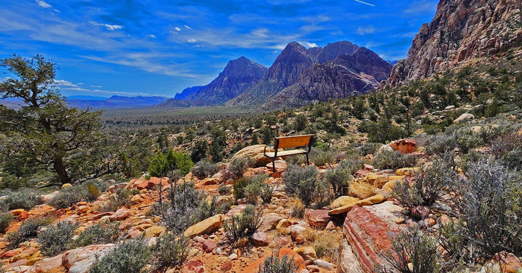
Dales Trail in Red Rock Canyon, Nevada, runs 2.2-miles along the Eastern base of the Rainbow Mountains between Pine Creek Canyon and Ice Box Canyon. At nearly every point along the way there are sweeping views of Red Rock Canyon. The trail skirts the Eastern Base of Bridge Mountain where one can observe potential routes to that hidden forest just below and to the East of Bridge Mountain’s summit block. The best time of year to hike Dales Trail is mid-Fall through mid-Spring. Click the image or title above to learn more…
Far North Upper Crest Ridgeline | Rainbow Mountain Wilderness, Nevada
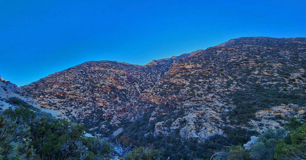
This is a circuit composed of the Northernmost 3 miles of the Rainbow Mountains Upper Crest Ridgeline. The circuit begins at the Willow Spring Area of Red Rock Canyon National Conservation Area, Nevada. From there, ascent the ridge from its Northernmost point, head South, then return to Willow Spring via Rocky Gap Road.
Fire Ecology Trail | Red Rock Canyon NCA, Nevada
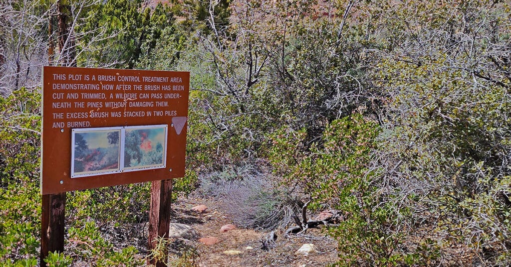
The .2-mile Fire Ecology interpretive trail in Pine Creek Canyon, Red Rock Canyon NCA, Nevada, was a controlled burn conducted in 1992 to determine how canyon forests could be managed to protect older pine trees from being consumed by brush fire. Following a brush management strategy aimed at controlling excess brush fuel on the forest floor, a controlled burn was conducted that successfully passed underneath the pines without damaging them. Today visitors can walk this interpretive trail and picnic at a table near the edge of Pine Creek. The best time of year to hike this trail is mid-Fall through mid-Spring. Summer temperatures can exceed 110 degrees. Learn more by clicking the image or title above.

