01 Blue Diamond Hill, Nevada | Overview
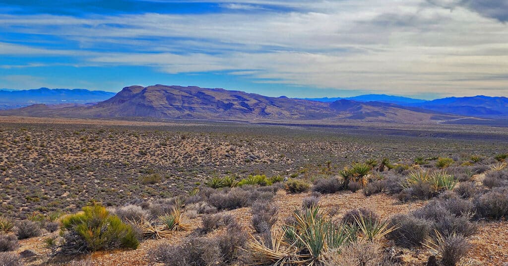
Blue Diamond Hill in Red Rock Canyon, Nevada, features a network of multi-use trails including hiking, running, mountain biking and equestrian. The trails offer various challenge levels, mostly in the class 1-3 climbing categories. However, there are class 4-5 rock climbing possibilities. Late Spring through early Fall. Follow thumbnail images to view the details you will need to plan your adventures here. Click image or title above for more…
01 Red Rock Canyon National Conservation Area Overview
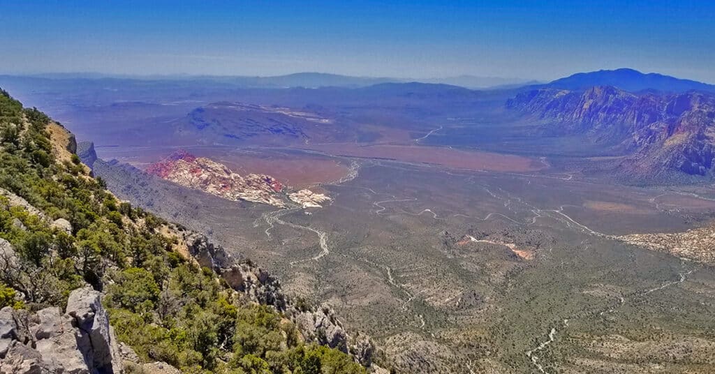
The 10,000 acre Red Rock Canyon is the signature wilderness area just outside Metro Las Vegas. Hike and climb on magnificent Jurassic era frozen sand dunes and calico hills — some reaching heights of 7,000 feet. Experience the Southwestern desert with the help of an elaborate visitor center featuring interpretive displays, movies, presentations and walks. Then, plan your adventure from a short hike to a challenging vertical rock climb and all the levels of difficulty between. Best time of year for adventures here: Mid-Fall to early Spring below 5,000ft; Fall to Spring above 5000ft. Temperatures at the higher elevations are usually in the mid-70s during this time even when Las Vegas Valley is up to 95 degrees! Winter temperatures in the lower elevations can be in the mid-60s! Follow thumbnail images to view the details you will need to plan your adventures here. Click image or title above for more…
02 North Upper Crest Ridgeline | Rainbow Mountain Wilderness, Nevada
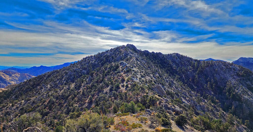
Traverse the Northern Upper Crest Ridgeline between Willow Spring in Red Rock Canyon NCA and North Peak in the Rainbow Mountain Wilderness, Nevada. This ridgeline runs parallel just above to the West of the Rainbow Mountains bordering the West side of Red Rock Canyon. Discover the unmarked trail that takes you all the way. Return by Rock Gap Road.
02 Red Rock Canyon Scenic Drive | Red Rock Canyon NCA, Nevada
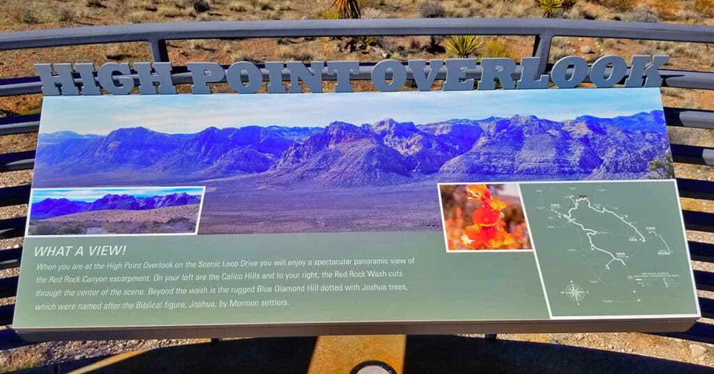
General information for Red Rock Canyon NCA including how to work the reservation system is on this page. In addition, the 10 points of interest along the Red Rock Canyon Scenic Drive are described. I’ll mention the trailheads from these points as jumping off points for wilderness adventures, but realize that the scenic drive is in itself a totally rewarding experience even if you don’t get out of your car! 13-mile scenic loop drive. Click image or title above for more…
04 Mid Upper Crest Ridgeline | Rainbow Mountain Wilderness, Nevada
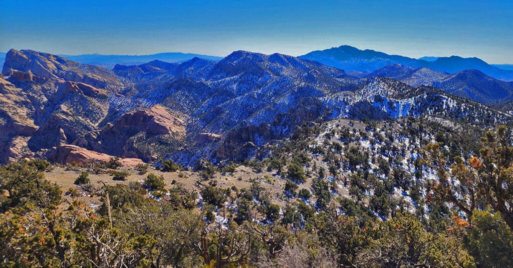
Experience the Rainbow Mountains Mid Upper Crest Ridgeline from just South of North Peak to Rainbow Mountain. Pictures, video, detailed description. This adventure begins at Willow Spring in Red Rock Canyon, ascends Rocky Gap Road to the Bridge Mountain/North Peak Trailhead then ascends to the ridgeline, turns South taking the Bridge Mountain Trail. Finally, leave the Bridge Mountain Trail to continue South along the Upper Crest Ridgeline. Click image or title above for more…
3 Basin Circuit | Red Rock Canyon, Nevada
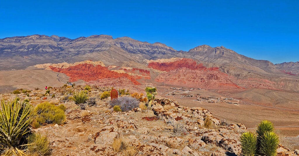
Experience 3 incredible Southern Nevada wilderness areas in one great adventure. This circuit begins in the Calico Basin, rounds the South side of the Calico Hills, heads North to upper Red Rock Canyon, circles over to Brownstone Basin then finally descends to the starting point in Calico Basin. Click the image or title above for more details.
Arnight Trail | Red Rock Canyon, Nevada
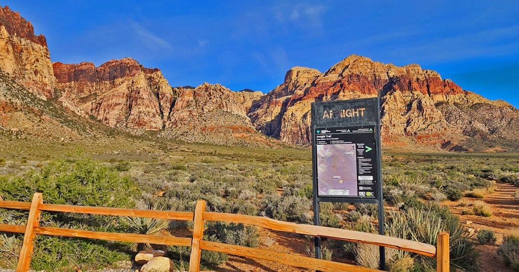
The Arnight Trail in Red Rock Canyon, Nevada, may be the shortest route to your goal if you want to summit Juniper Peak or scale the Eastern cliffs of Rainbow Mountain. The Arnight Trail begins at the Oak Creek Canyon Trailhead and continue Northwest for 1.2-miles until it intersects with the Knoll Trail near the entrance of Juniper Canyon. Here we point out the rock climber’s approach route to the Eastern cliffs of Rainbow Mountain and the summit route to Juniper Peak, along with an important reference stone at the base of Juniper Canyon.
Ash Canyon to Calico Tanks | Calico Basin, Nevada
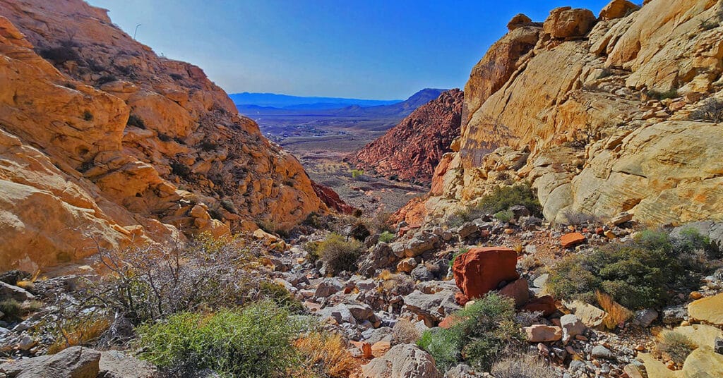
Beginning at the Kraft Mountain Trailhead in Calico Basin, ascend to the summit of Ash Canyon on the Ash Canyon Trail. Descending from Ash Canyon Summit connect with the Rattlesnake Trail and continue to the Calico Tanks Trail. After visiting Calico Tanks return to the Rattlesnake Trail. Ascend to the summit of that trail then descend into Gateway Canyon in the Calico Basin. Ascend Hell Hill Trail on Kraft Mountain to Pink Goblin Pass and finally descend to your starting point at the Kraft Mountain Trailhead. Experience spectacular views of 4 major wilderness areas and much more. Route Details: Approximately 10 miles RT on some fairly good trails and some unmarked sketchy trails. Best time for this adventure: Mid Fall through Mid Spring.
Blue Diamond Hill Southern Canyons, Nevada
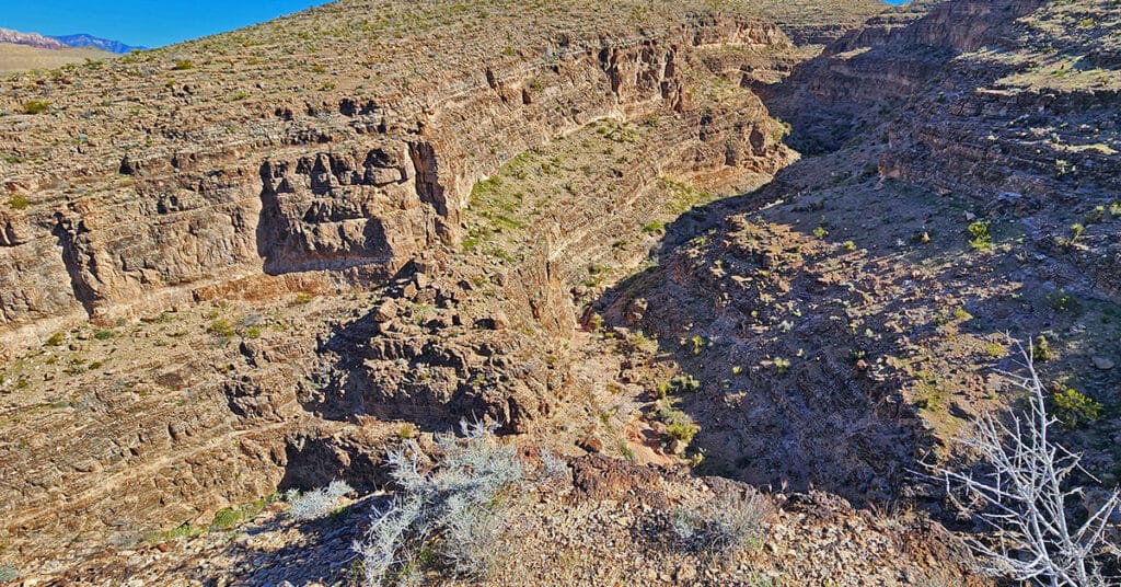
Explore a few of the 7 little-known deep, majestic canyons in the southern area of Blue Diamond Hill in Nevada. Starting at Wheeler Camp Spring trailhead parking on Hwy 159, begin exploring canyons South of the Blue Diamond Hill Gypsum Mining Road. The best time of year for this adventure is Fall through Spring. Click the image or title above for more details.
Blue Diamond Hill Southern Ridgelines, Nevada
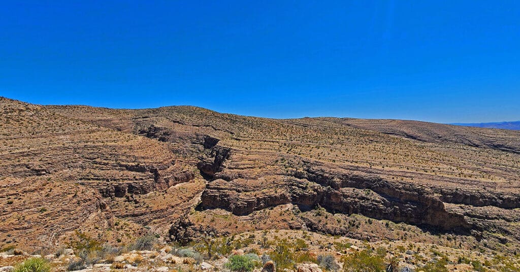
Enjoy non-stop eagle-eye views of the entire Rainbow Mountain range from a Southern perspective while simultaneously surrounded by majestic canyons! This little-known Southern wilderness area on Blue Diamond Hill is across highway 159 from the town of Blue Diamond. Click the image or title above for more details.

