Cow Camp Road | Sheep Range | Desert National Wildlife Refuge, Nevada
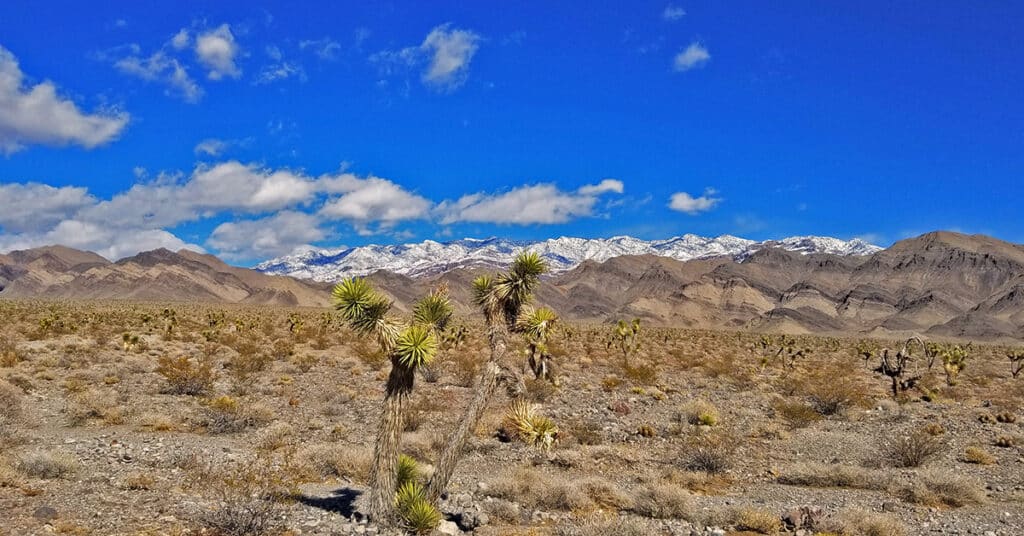
Cow Camp Road is a branch off of Alamo Road (at the 12-mile point) in the Desert National Wildlife Refuge in Southern Nevada. On the Northern tip of the Sheep Range the 5.7-mile long Cow Camp Road provides a great approach to the Sheep Peak trailhead, Sheep Peak being the 2nd highest point in the Sheep Range at 9750ft. The trailhead elevation is about 5,750ft. In addition there are camping areas in and beyond the canyon pass on Cow Camp Road and beautiful views of the Northern area of the Sheep Range. I took the trip up Alamo Road on a mountain bike, then ascended Cow Camp Road on foot so there are ample 360-degree video views along the way. Route details: 28 Miles RT from DNWR HQ – 4WD Roads Click image or title above for more…
Lower Mormon Well Road, Sheep Range, Nevada
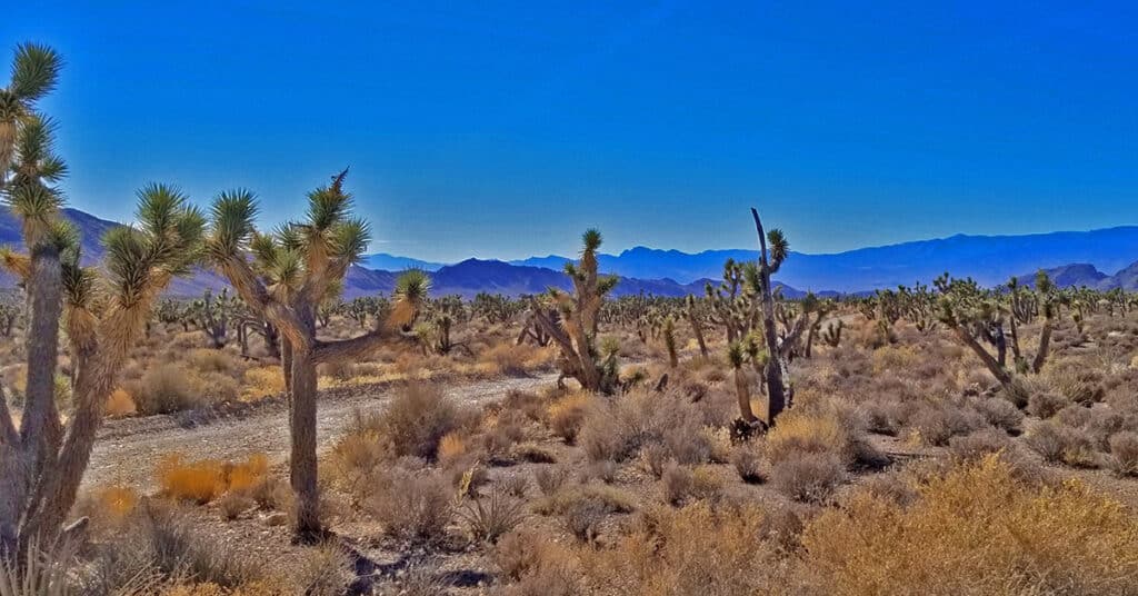
Travel the lower 15-mile stretch of Mormon Well Road from the Desert National Wildlife Refuge headquarters on Corn Creek Road to the intersection of Mormon Well Road and Pine Nut Road by mountain bike. Points of interest are the intersection of Gass Peak Road at the 4-mile point; Yucca Gap between the Southern tip of the Sheep Range and Fossil Ridge at the 5-mile point; and the incredibly massive Yucca Tree Forest spanning the entire Sheep Range valley beyond Yucca Gap. Route details: 30 Miles RT; **4WD Road** Click image or title above for more…
Lower Alamo Road | Sheep Range | Desert National Wildlife Refuge, Nevada
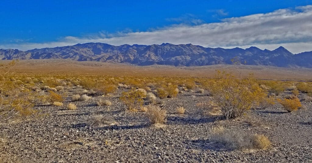
Travel from the Desert National Wildlife Refuge headquarters to the intersection of Alamo Road and Cow Camp Road. This 12-mile stretch skirts the entire West side of the Sheep Range from South to North, and then begins to circle around the Northern tip of the Sheep Range to access trailheads to Sheep Peak and Hayford Peak. The stretch along lower Alamo Road offers awesome views of the entire West and Northwest side of the Sheep Range, Gass Peak, the La Madre Mountains Wilderness and the Mt. Charleston Wilderness including especially Mummy Mountain, Fletcher Peak and Griffith Peak. Otherwise, it’s a pretty barren, windswept stretch of desert. The unpaved 4WD road is pretty firm for a mountain bike but does have a few stretches of deeper gravel and many washboard sections which can scramble the brain on the downhill return! Route details: 24 Miles RT – **4WD Road**. Click image or title above for more…
Gass Peak Road Circuit | Desert National Wildlife Refuge, Nevada
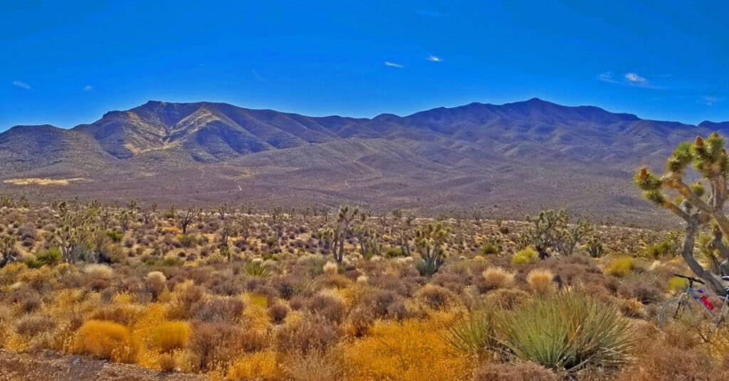
It’s possible to completely circle Gass Peak via the unpaved road system accessed from the Desert National Wildlife Refuge headquarters. However, as you will see below, some of the roads will require 4WD, a dirt bike or mountain bike. It’s a huge adventure well worth the effort. The 7,000ft Gass Peak mountain complex is immense, nearly a mountain range in its own right. It’s a well-defined landmark from nearly everywhere in the Las Vegas Valley. The complete circuit adventure gives you an excellent experience of the terrain North of Las Vegas. Route Details: 35 mi Mountain Bike; **Unpaved Roads** Click image or title above for more…
Harris Springs & Harris Mountain Roads | Spring Mountains | Nevada | Off-Road Cycling
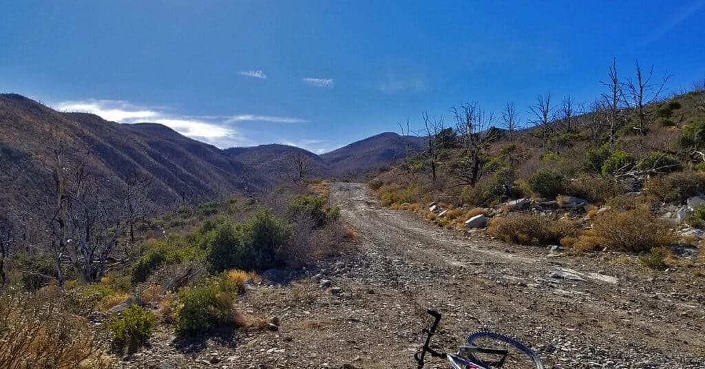
The important Harris Springs and Harris Mountain Roads system is one of the main access points for the La Madre Mountains Wilderness (4 times the size of Red Rock Park), Harris Mountain and even the Lovell Canyon area and a back door wilderness ascent to Griffith Peak. We take time to show these important wilderness access points. The views from upper Harris Mountain Road are spectacular. One can look straight down the canyon to see the entire Sheep Range, Fossil Ridge and Gass Peak in addition to La Madre Mountain and El Padre Mountain. Route details: 6 mi RT if you start at the end of Harris Mountain Road / Approx. 9,000 > 10,018ft; **Some Trail, Some Wilderness** Click image or title above for more…
Angel Peak via Lucky Strike Road | Mt. Charleston Wilderness | Spring Mountains, Nevada
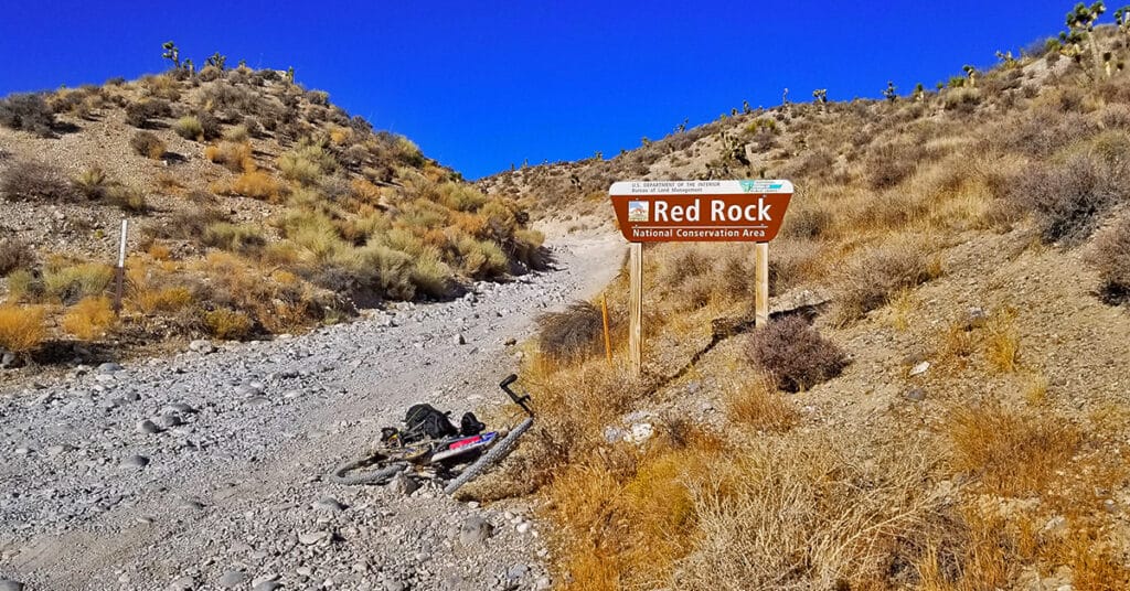
There is a rather wild desert area below Angel Peak that can be accessed through the rugged 4WD Lucky Strike Road. Both ends of Lucky Strike Road contain some class 2 climbing sections, so your vehicle needs to be very sturdy. The 3-mile stretch immediately below Angel Peak can be pretty brutal, being a cross between a 4WD road and an avalanche slope! However, the sunset views of the Sheep Range and Gass Peak on that stretch are spectacular, and at night the Las Vegas Valley lights up like Christmas! This is an experience of Lucky Strike road on a mountain bike. Route details: 17.1 mi / Approx. 4,500 > 8,500ft; **Unpaved Road, Poor Condition** Click image or title above for more…

