Cow Camp Road | Sheep Range | Desert National Wildlife Refuge, Nevada

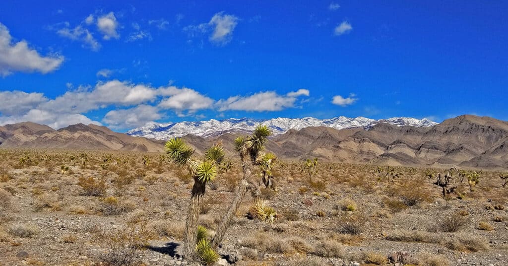
Cow Camp Road is a branch off of Alamo Road (at the 12-mile point) in the Desert National Wildlife Refuge in Southern Nevada. On the Northern tip of the Sheep Range the 5.7-mile long Cow Camp Road provides a great approach to the Sheep Peak trailhead, Sheep Peak being the 2nd highest point in the Sheep Range at 9750ft. The trailhead elevation is about 5,750ft. In addition there are camping areas in and beyond the canyon pass on Cow Camp Road and beautiful views of the Northern area of the Sheep Range. I took the trip up Alamo Road on a mountain bike, then ascended Cow Camp Road on foot so there are ample 360-degree video views along the way. Route details: 28 Miles RT from DNWR HQ – 4WD Roads Click image or title above for more…
Kingman Wash Access Road | Lake Mead National Recreation Area, Arizona

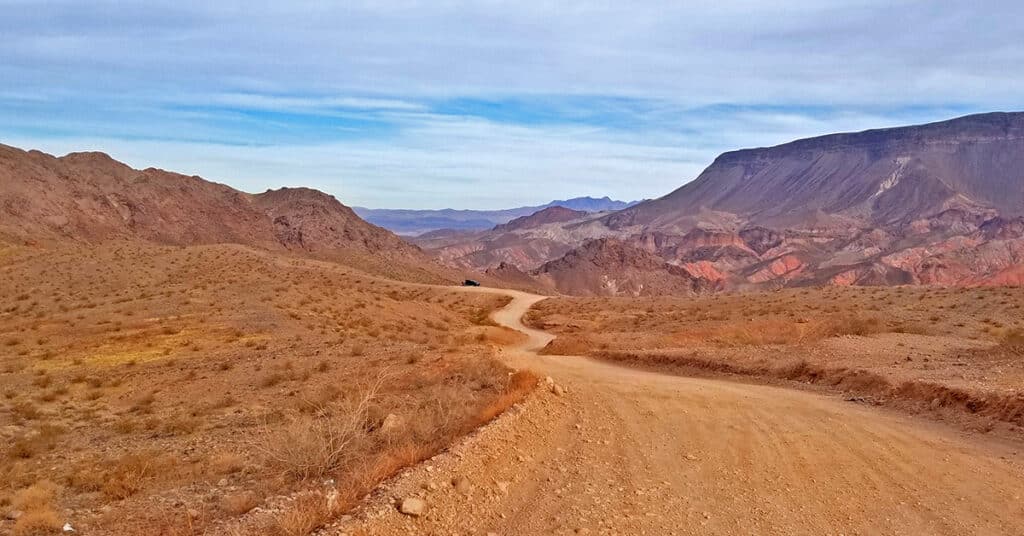
This section of Kingman Wash Access Road is about 4 miles in length. It’s an unpaved road that leads down to the shore of Lake Mead at Temple Bar Marina where there is boating, fishing and hiking. I traveled it by mountain bike. There are 3 additional unpaved roads splitting off to the right. The first is South Mine Access Road; second is North Mine Access Road which later connects with South Mine Access Road and continues on as South Mine Access Road. The third road splitting off from Kingman Wash Road near its end and to the right of a restroom structure is the unpaved Fortification Hill Road which leads to Fortification Hill Trailhead. Route Details: 7 Miles | 1,197 > 1,465; ** Good Unpaved Road** Click image or title above for more…
Angel Peak via Lucky Strike Road | Mt. Charleston Wilderness | Spring Mountains, Nevada

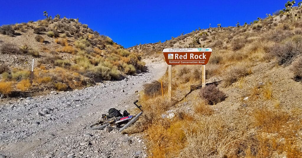
There is a rather wild desert area below Angel Peak that can be accessed through the rugged 4WD Lucky Strike Road. Both ends of Lucky Strike Road contain some class 2 climbing sections, so your vehicle needs to be very sturdy. The 3-mile stretch immediately below Angel Peak can be pretty brutal, being a cross between a 4WD road and an avalanche slope! However, the sunset views of the Sheep Range and Gass Peak on that stretch are spectacular, and at night the Las Vegas Valley lights up like Christmas! This is an experience of Lucky Strike road on a mountain bike. Route details: 17.1 mi / Approx. 4,500 > 8,500ft; **Unpaved Road, Poor Condition** Click image or title above for more…

