Gateway Canyon & Gray Cap Ridge NW | Calico Basin, Nevada
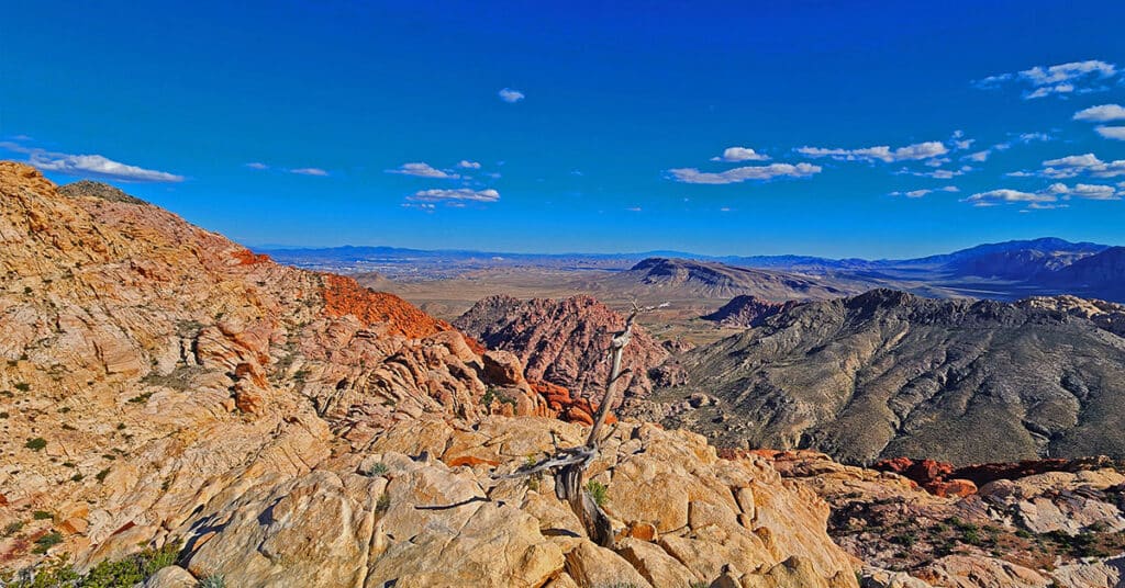
Wander through a unique, hidden world in the Northwest area of Gray Cap Ridge. Gateway Canyon will whirl you around and by the time you emerge into the Northwest area of Gray Cap Ridge you may wonder if you’d landed in another dimension! Finding a non-vertical way down into the Brownstone Basin can be a real puzzle, but great fun. Click the image or title above for details.
Red Cap Peak Summit | Red Rock Canyon NCA, Nevada
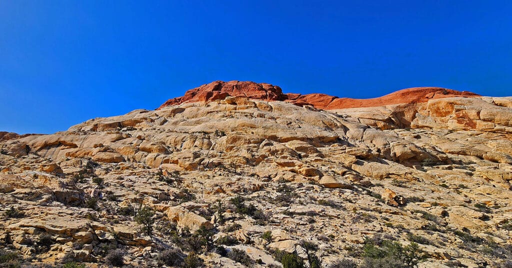
Red Cap Peak, also referred to as “Little Turtlehead”, is a Jurassic Era Sandstone Summit in Red Rock Canyon National Conservation Area, Nevada. This adventure begins at the Kraft Mountain Trailhead in the Calico Basin and navigates through Ash Canyon before summiting the peak. The best time of year for this adventure is Spring and Fall. Click the title or image above for more details.
Gray Cap Ridge Brownstone Basin Loop | La Madre Mountains Wilderness, Nevada
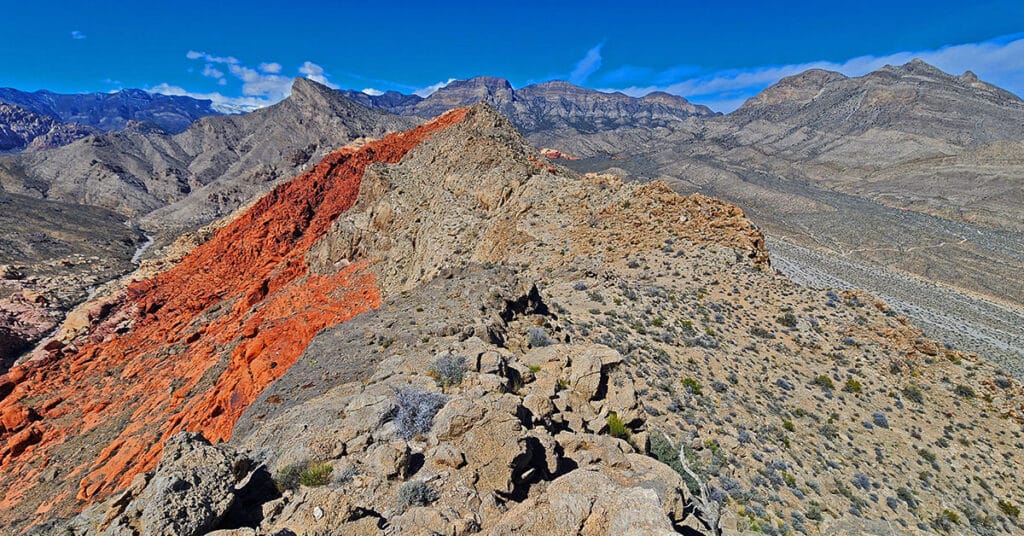
Beginning at Gene’s Trailhead in the Calico Basin, traverse most of Gray Cap Ridgeline from the SE Summit, then return to the Calico Basin by way of the Brownstone Trail and Road. Best time of year for this adventure is Spring or Fall. Click the image or title above for all the details.
Brownstone Trail | Calico Basin | Brownstone Basin | La Madre Mountains Wilderness, Nevada
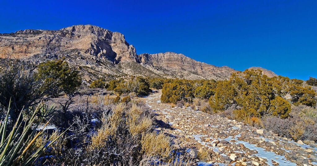
The Brownstone Trail adventure spans Nevada’s Calico Basin, Brownstone Basin and La Madre Mountains Wilderness. Along the way, there are spectacular views of the La Madre Mountains Ridgeline, Damsel Peak, the Las Vegas Valley and Strip and the Jurassic Era calico sandstone Gray Cap Ridge. Click the image or title above for more detail.
Calico Basin Daily Workout Trails | Calico Basin, Nevada
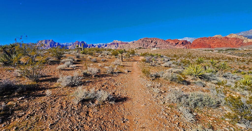
This extensive network of trails in the lower Calico Basin, Nevada, is an awesome setting for daily conditioning workouts whether your sport is hiking, trail running or mountain biking. The trail system is just a few miles from metropolitan Las Vegas, making access convenient. Work out year-round in a natural setting on a healthy running surface. Build strength, endurance, flexibility and agility! Click the image or title above for more details.
Damsel Peak Loop | Brownstone Basin, Nevada
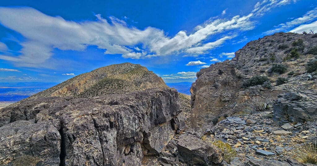
This complete loop of Damsel Peak’s base in the Brownstone Basin, Nevada searches for previously unknown summit routes to the summit.
Upper Calico Hills Loop | Calico Basin & Red Rock Canyon National Conservation Area, Nevada
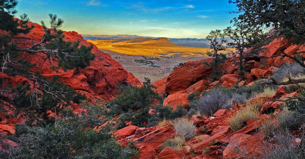
This spectacular 6-mile loop combines 6 or more trails to circle the upper Calico Hills in Red Rock Canyon & Calico Basin, Nevada. The trail passes through two beautiful wild passes in the Calico Hills: Ash Canyon and the mid-Calico Hills Black Corridor Pass. Click the image or title above for all the details.
3 Basin Circuit | Red Rock Canyon, Nevada
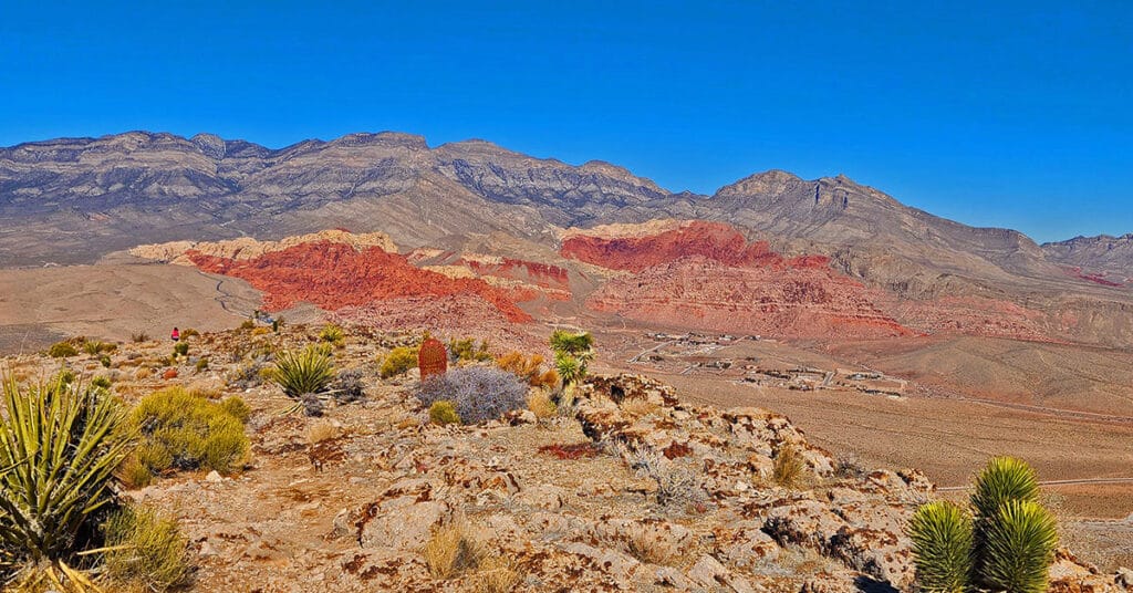
Experience 3 incredible Southern Nevada wilderness areas in one great adventure. This circuit begins in the Calico Basin, rounds the South side of the Calico Hills, heads North to upper Red Rock Canyon, circles over to Brownstone Basin then finally descends to the starting point in Calico Basin. Click the image or title above for more details.
Ash Canyon to Calico Tanks | Calico Basin, Nevada
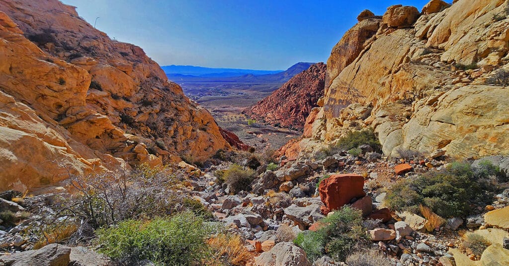
Beginning at the Kraft Mountain Trailhead in Calico Basin, ascend to the summit of Ash Canyon on the Ash Canyon Trail. Descending from Ash Canyon Summit connect with the Rattlesnake Trail and continue to the Calico Tanks Trail. After visiting Calico Tanks return to the Rattlesnake Trail. Ascend to the summit of that trail then descend into Gateway Canyon in the Calico Basin. Ascend Hell Hill Trail on Kraft Mountain to Pink Goblin Pass and finally descend to your starting point at the Kraft Mountain Trailhead. Experience spectacular views of 4 major wilderness areas and much more. Route Details: Approximately 10 miles RT on some fairly good trails and some unmarked sketchy trails. Best time for this adventure: Mid Fall through Mid Spring.
Kraft Mountain Loop | Calico Basin | Red Rock Canyon National Conservation Area, Nevada

Kraft Mountain Loop circles the base of Kraft Mountain located in the Calico Basin, Nevada (last turn-off before Red Rock Park). During this 3.5 mile loop you will experience navigating colorful Jurassic era frozen sand dune formations, incredible vistas of the surrounding area and some class 2-3 scrambling up and down sandstone ledges in a desert wash. It’s highly recommended that you undertake this adventure on a Fall, Winter or Spring day to avoid excessive Summer temperatures that can exceed 115 degrees. And, do not attempt this under wet conditions (rain, snow) because the sandstone you will need to traverse and climb can become as slick as ice! Route description: **3.5 Miles, 3,710 – 4,299ft Elevation ** Click image or title above for more…

