Furnace Creek Visitor Center | Death Valley, California
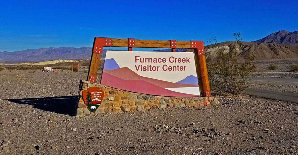
Use the Furnace Creek Visitor Center as your major staging area for adventures in Death Valley, California. It’s an important starting point for your experience of Death Valley. Find expert park ranger help at the front desk, beautiful interpretive displays, documentary movies, nightly ranger talks, ranger-guided walks, junior ranger programs, book and souvenir store and restroom facilities.
Badwater to Mahogany Flat | Death Valley National Park, California
Visitor Guide 2020-2021 Death Valley Visitor Guide Badwater to Mahogany Flat | Death Valley National Park, California Area Satellite View North Satellite View South Satellite View Adventure Video Will Appear Here Overview | Badwater to Mahogany Flat | Death Valley National Park, California This adventure to occur during an upcoming Winter. The goal is to […]
Wildrose Peak | Death Valley, California
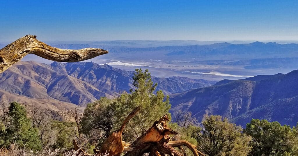
Wildrose Peak is an 8.4 mile round trip trail beginning at the Wildrose Charcoal Kilns in Death Valley National Park, California. Ascending the excellent trail from the Wildrose Charcoal Kilns at 6,800ft elevation to the summit of Wildrose Peak at 9,064ft elevation, your total elevation gain is 2,264ft. Views at points along the trail and definitely from the summit are spectacular including the expanse of Death Valley almost directly below from Badwater to Furnace Creek and further in both directions with the Funeral Mountains as a backdrop. It’s a Grand Canyon level view! 8.4 Miles RT, 6,800 > 9,064ft **Excellent Trail** Click image or title above for more…
Wildrose Charcoal Kilns | Death Valley, California

The Death Valley Wildrose Charcoal Kilns, located on Charcoal Kiln Road near Telescope Peak in the Panamint Mountain Range are perhaps the best preserved Charcoal Kilns on earth. Built in 1877 to create charcoal used to smelt lead and silver in the Modock Mines about 25 miles West in the Argus Range, the Wildrose Charcoal Kilns were only used for 2 years. Click image or title above for more…
Telescope Peak Summit from Charcoal Kilns | Death Valley, California
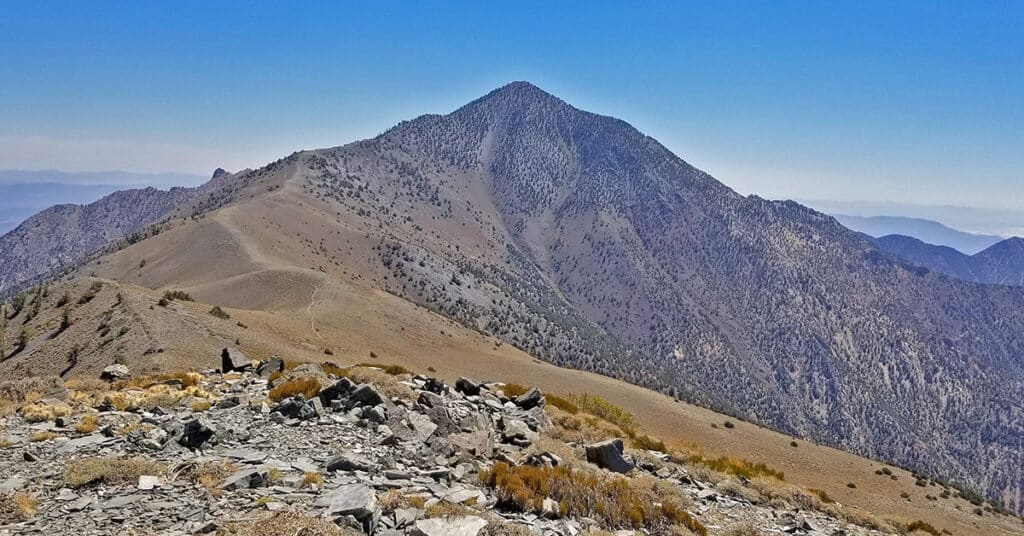
Telescope Peak, on the highest ridge of the Panamint Mountain Range bordering the West side of Death Valley is as close as you can get to experiencing the entire valley in one adventure. The feeling is purely magical as you traverse a ridge on top of the world, looking straight from that 11,049ft elevation down to Badwater, lowest point in the Western hemisphere at -282ft. Route details: 19 mi Roads, Trails (mostly), Wilderness
6800ft > 11,043ft **Mostly Excellent Trails** Click image or title above for more…
Willow Canyon | Death Valley National Park, California
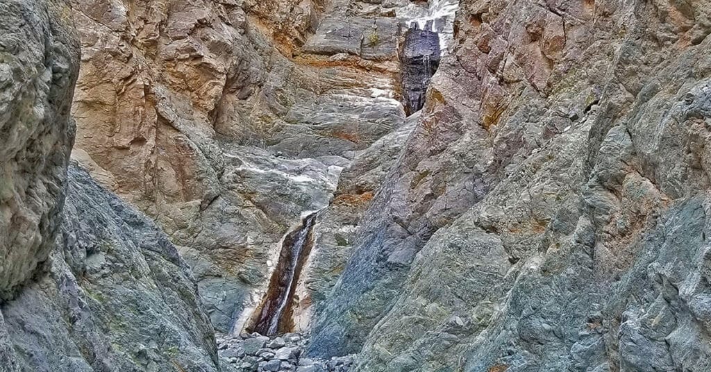
Willow Canyon along with Darwin Falls are both rare year-round waterfalls in Death Valley, one of the hottest, driest places on earth! Often missed, Willow Canyon shares the same trailhead with the more popular Sidewinder Canyon. The most beautiful part of Willow Canyon is the last 1/4th mile of this 2-mile adventure before the falls where the canyon narrows, the water begins to flow and cascade over rocks and the surrounding cliffs reveal amazing sculptures. Route details: Approx. 4 Miles Out and Back; 500ft Elevation Gain **Canyon Wash Route** Click image or title above for more…
Titus Canyon Grand Loop by Mountain Bike | Death Valley National Park, California

The Titus Canyon Grand Loop by Mountain Bike is a huge 65.6-mile loop beginning and ending in Death Valley, California at a rest area just North of the intersection of Highway 394 (Daylight Pass Road) and Scotty’s Castle Road. There is no 2-car assist here. No car parked on each end of Titus Canyon. No one-way trip down Titus Canyon. Instead, the entire loop both up and down is made by mountain bike. Route details: Approx. 66 Miles; 7,000ft Elevation Gain; **1/2 Asphalt Rd, 1/2 Unpaved Rd** Click image or title above for more…
Tea House and Table Rock | Furnace Creek Ranch | Death Valley National Park, California

Tea House and Table Rock in Death Valley is a hike that delivers a huge reward in a short time. You will experience expansive 360 degree views of Death Valley. First of all, there are spectacular views up and down the length of Death Valley from the North to the South. Across to the West one can see the entire length of the Panamint Mountain Range. There is even a small cemetery with early explorer grave sites on one of the hills along the route. Route details: Approx. 2-4 Miles Circuit; -190 > about 300ft **No Trails, Navigate Desert** Click image or title above for more…
Return of Lake Manly | Lake in Death Valley | Death Valley National Park, California

Over time, Death Valley floor gradually became one of the lowest, hottest and driest places on earth. Lake Manly slowly evaporated leaving the salt flats at the base of Death Valley. Occasionally, a memory of Lake Manly returns to the floor of Death Valley in times when enough moisture manages to make it over the surrounding mountains. During this wet enough Winter, I had to stop and explore, making it nearly to the middle of the valley, to the shore of the very temporary Lake Manly. Route details: 2-4-mile RT; **Salt Flat, Streams and a Temporary Lake.
Natural Bridge Canyon | Death Valley National Park, California
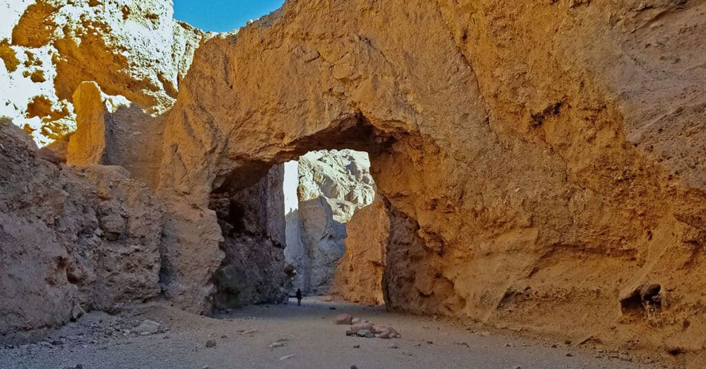
Natural Bridge Canyon in Death Valley National Park, California, contains one of the most massive and spectacular natural bridges I have seen. The entire area was once a huge alluvial fan of composite rock washed down from the Black Mountains above. Over time the fan hardened, and subsequent floods cut through the fan creating a fairly narrow canyon with high sheer vertical wall borders towering up from 40 to 100ft or more on either side. About a mile up the canyon from the parking area at the canyon’s entrance there is a massive natural bridge formed when water tunneled through the composite rock. Route details: Approx. 4 Miles RT
500ft Elevation Gain **Canyon Wash Route** Click image or title above for more…

