Fletcher View Ridge | Mt Charleston Wilderness, Nevada
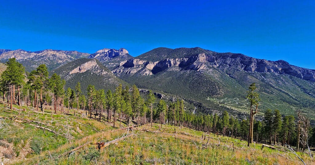
Fletcher View Ridge ascends between The Fletcher View Campground and the final summit approach to Harris Mountain. The ridge originates in The Fletcher Canyon area on Kyle Canyon Road in The Mt. Charleston Wilderness, Nevada. Expect non-stop spectacular views of the highest peaks on The Mt. Charleston Loop along with a good aerial view of Fletcher Canyon and potential route to Fletcher Peak summit. Elevation: 7,000-9,000ft. wilderness route, no trails or trail signs. Best time of year for this adventure: July through September. Click the image or title above for details.
Wilson Ridge/ Sexton Ridge Circuit | Lovell Canyon, Nevada
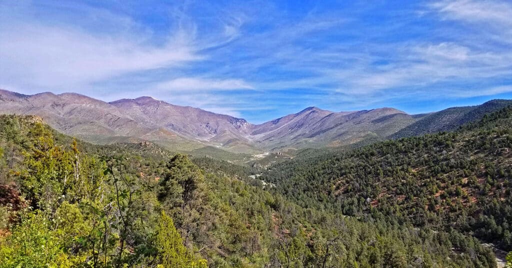
Make a huge circuit of Lovell Canyon, Nevada taking in Wilson Ridge (East side), The Harris / Griffith Saddle (top), Sexton Ridge (West side). This is a total day-long wilderness immersion with spectacular views of Southern Nevada wilderness and beyond. Elevation gain: 8-9,000ft or more when gain and loss are added up. Best time of year for this adventure: Close to the longest day of the year. Click the image or title above for details.
Fletcher Canyon Trailhead / Harris Mt Griffith Peak Circuit | Mt Charleston Wilderness, Nevada
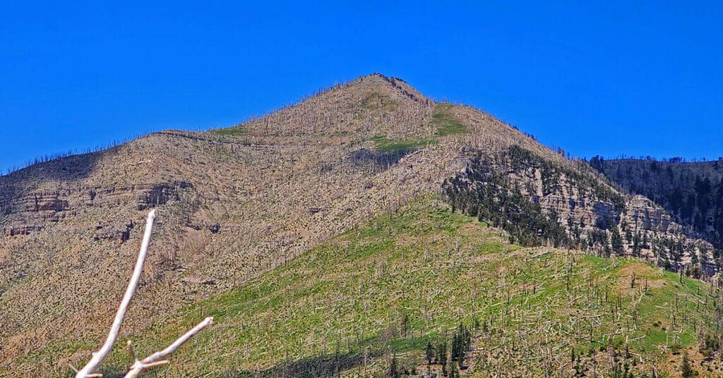
Make a circuit from The Fletcher Canyon Trailhead to Harris Mountain and Griffith Peak, then return to your start point. After accomplishing the most direct approach to Harris Mountain summit, cross the saddle to Griffith Peak, descend to The South Loop Trailhead and finally return on Kyle Canyon Road to Fletcher Canyon Trailhead. This route is half wilderness and half trails. Elevation gain is from 7,000-11,060ft plus additional ascent and descent along the way. Best time of year for this adventure: Summer through mid-Fall. Click the title or image above for details.
Fletcher Canyon Trailhead to Harris Mountain Summit | Mt Charleston Wilderness, Nevada
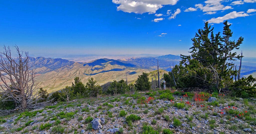
Summit Harris Mountain from Fletcher Canyon Trailhead in The Mt. Charleston Wilderness of Nevada. The approach ridge is just Southwest of the trailhead. Of all the approaches to Harris Mountain summit, this approach ridge and a similar approach ridge to the West are the most direct routes to Harris Mountain summit, especially taking into account the routes begin right off Kyle Canyon Road. The traditional Harris Mountain Trailhead requires miles of approach on unpaved 4WD roads. Because of the remoteness of the traditional trailhead, Harris Mountain is seldom summited and therefore an experience of beautiful, pristine, relatively untouched nature.
Wilson Ridge to Harris Mountain | Lovell Canyon, Nevada
Harris Mountain from Lovell Canyon | La Madre Mountains Wilderness | Spring Mountains, Nevada
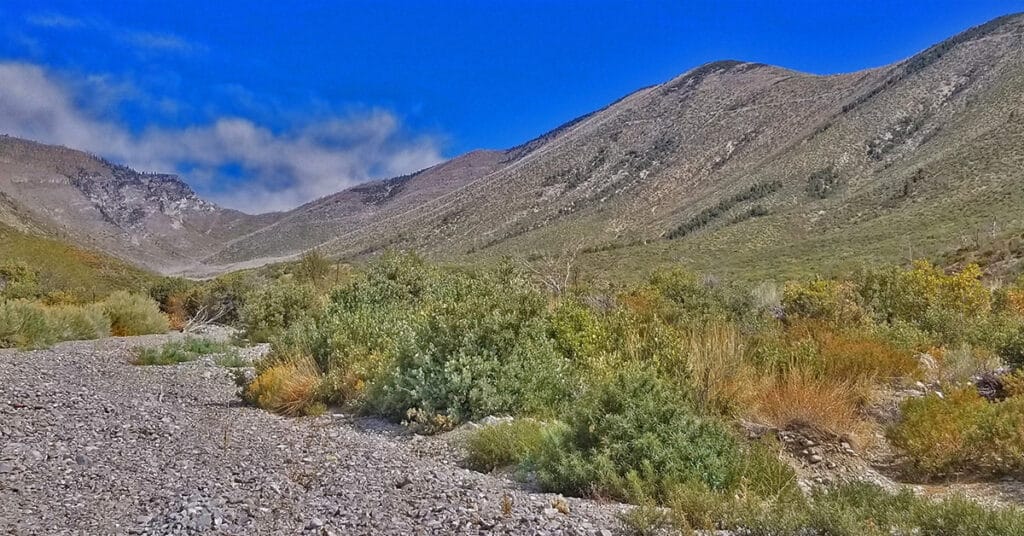
Harris Mountain from Lovell Canyon is a challenging long distance adventure with an elevation gain of over 4,000ft. However, the elevation gain and the distance are not the main challenge. The greatest difficulty factor is the terrain covered which includes a 5-mile rocky canyon wash, navigating brush and burned out fallen trees and at least 2 miles of steep avalanche slopes – all with no trails.
However, even given these difficulties the rewards are great including:
*A unique high altitude perspective of Lovell Canyon from its East side
*Total peace and solitude – the experience of having a major canyon all to yourself
*Views of the entire expanse of Lovell Canyon all the way to Potosi Mountain, Griffith Peak, Sexton Ridge and the Lovell Canyon, Handy Peak, Griffith Shadow Loop trails area.
Harris Mountain Griffith Peak Circuit | Mt Charleston Wilderness | Spring Mountains, Nevada

The Harris Mountain Griffith Peak Circuit is largely untouched wilderness with spectacular views of all the peaks in the Mt. Charleston Wilderness: Harris Mountain, Griffith Peak, Charleston Peak, Lee Peak, Mummy Mountain and Fletcher Peak. In addition there are spectacular views up and down the entire length of Kyle Canyon and Lovell Canyon along with views of the La Madre Mountains Wilderness area including La Madre Mountain and El Padre Mountain. You can see the tips of Bridge Mountain, Rainbow Mountain and Mt. Wilson in the Rainbow Mountains Wilderness and even catch a glimpse of the Las Vegas Strip. And to the North, there are views of the Sheep Range and Gass Peak. Route Details: 15 mi / Approx. 7,713 > 11,060ft; **Some Trail, Mostly Wilderness** Click image or title above for more…
Griffith Peak Harris Mountain Circuit | Mt Charleston Wilderness | Spring Mountains, Nevada
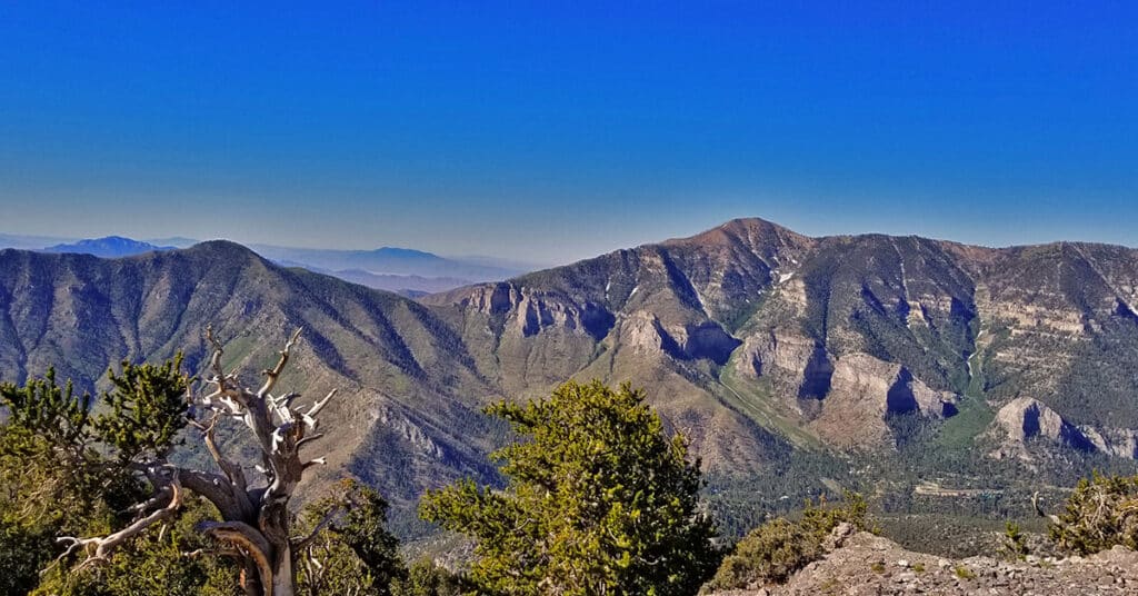
The Griffith Peak / Harris Mountain Circuit actually takes over 2 hours longer than the entire Mt. Charleston Loop! I’ve completed the Mt. Charleston loop in about 7.5 hours including the run from the Trail Canyon parking lot to the South Climb parking lot. Adding in Griffith Peak, Lee Peak and Mummy Mountain, the Mt. Charleston 4-Peak Circuit takes me a little under 12 hours. On the other hand, the Griffith Peak / Harris Mountain Circuit took me 9hrs and 50 minutes! Why? Find out in this article. Route details: 15 mi / Approx. 7,713 > 11,060ft; **Some Trail, Mostly Wilderness** Click image or title above for more…
Six-Peak Circuit in the Spring Mountains, Nevada – Strategy
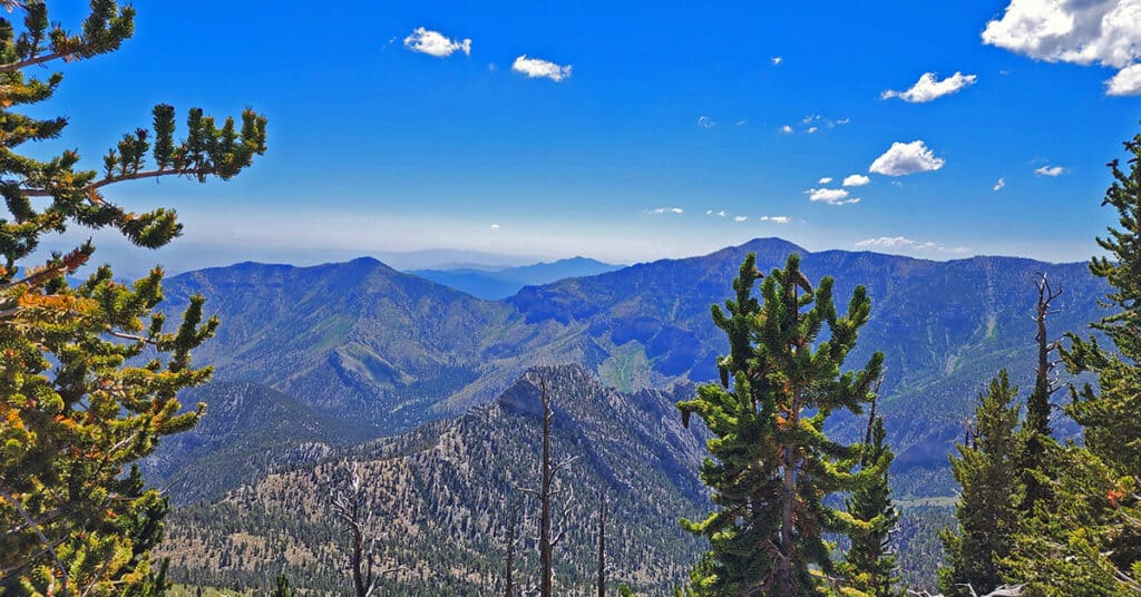
It is possible to complete a six-peak circuit in the Spring Mountains, Nevada in one day. This adventure is pretty remarkable in that it involves summiting 6 peaks, each over 10,000ft in less than 24 hours! This article covers the strategy that makes the adventure possible. The peaks include: Harris Mountain (10,014ft), Griffith Peak (11,056ft), Charleston Peak (11,918ft), Lee Peak (11,289ft), Mummy Mountain (11,528ft), Fletcher Peak (10,319ft), Click image or title above for more…
Harris Mountain | Mt Charleston Wilderness | Spring Mountains, Nevada
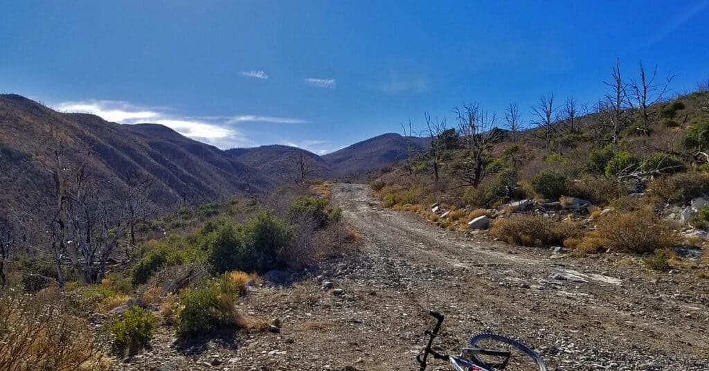
See the Harris Griffith Circuit page on this website. That adventure shows the Harris Mountain summit approach from South Climb Trailhead at Cathedral Rock. A future adventure posted to this page will show Harris Mountain summit approach from Harris Springs and Harris Mountain Roads, which is the most popular summit approach. Route details: 12-15-miles RT from the intersection of Kyle Canyon and Upper Harris Springs Road; **Unpaved roads and established trails all the way.** Click image or title above for more…

