Gateway Canyon & Gray Cap Ridge NW | Calico Basin, Nevada
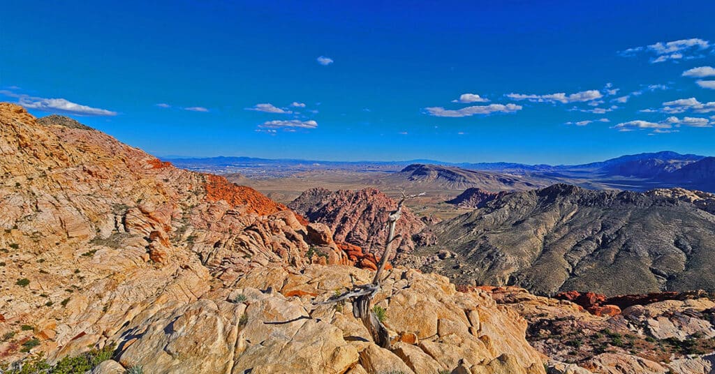
Wander through a unique, hidden world in the Northwest area of Gray Cap Ridge. Gateway Canyon will whirl you around and by the time you emerge into the Northwest area of Gray Cap Ridge you may wonder if you’d landed in another dimension! Finding a non-vertical way down into the Brownstone Basin can be a real puzzle, but great fun. Click the image or title above for details.
Red Cap Peak Summit | Red Rock Canyon NCA, Nevada
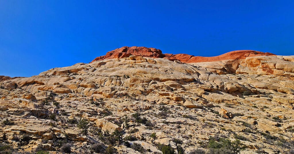
Red Cap Peak, also referred to as “Little Turtlehead”, is a Jurassic Era Sandstone Summit in Red Rock Canyon National Conservation Area, Nevada. This adventure begins at the Kraft Mountain Trailhead in the Calico Basin and navigates through Ash Canyon before summiting the peak. The best time of year for this adventure is Spring and Fall. Click the title or image above for more details.
Gray Cap Ridge Brownstone Basin Loop | La Madre Mountains Wilderness, Nevada
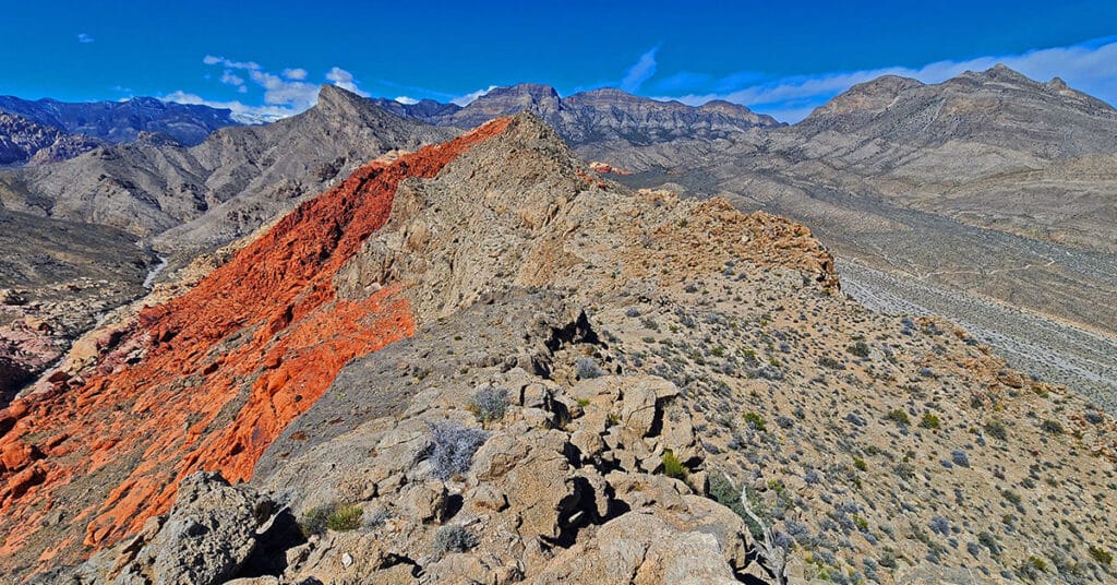
Beginning at Gene’s Trailhead in the Calico Basin, traverse most of Gray Cap Ridgeline from the SE Summit, then return to the Calico Basin by way of the Brownstone Trail and Road. Best time of year for this adventure is Spring or Fall. Click the image or title above for all the details.
Brownstone Trail | Calico Basin | Brownstone Basin | La Madre Mountains Wilderness, Nevada
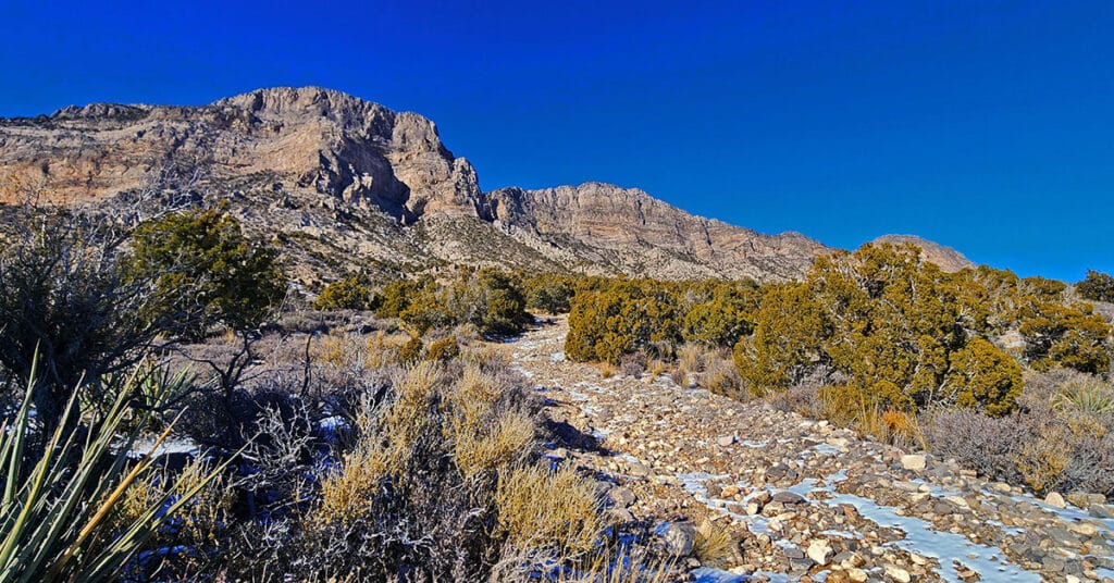
The Brownstone Trail adventure spans Nevada’s Calico Basin, Brownstone Basin and La Madre Mountains Wilderness. Along the way, there are spectacular views of the La Madre Mountains Ridgeline, Damsel Peak, the Las Vegas Valley and Strip and the Jurassic Era calico sandstone Gray Cap Ridge. Click the image or title above for more detail.
Kyle Canyon Grand Crossing Southern Half | Red Rock Canyon NCA, Nevada
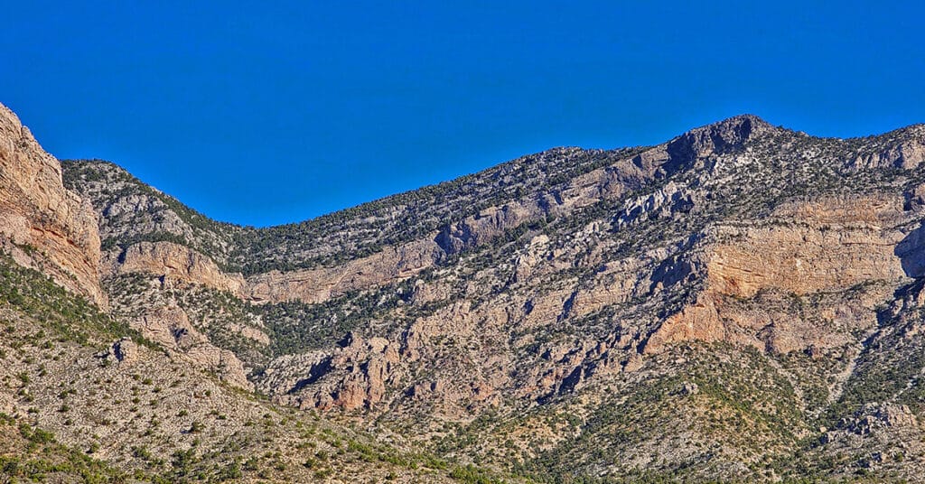
This is the Southern half of the Kyle Canyon Grand Crossing from the intersection of Kyle Canyon and Harris Springs Roads in Kyle Canyon, up over the Keystone Thrust and down to the base of White Rock Mountain in Red Rock Canyon National Conservation Area. The entire Kyle Canyon Grand Crossing gives an experience of the La Madre Mountains Wilderness and Red Rock Canyon. In addition, there are views of the Sheep Range, Gass Peak, Mt. Charleston Wilderness, Rainbow Mountains Wilderness, Las Vegas Valley including the Strip and many points beyond. But this Southern portion of the route included what can be seen from the Keystone Thrust in Red Rock Canyon. Route details: 10-15 miles RT; **Some trails, mostly wilderness** Click image or title above for more…
Kyle Canyon Grand Crossing Northern Half | La Madre Mountains Wilderness, Nevada
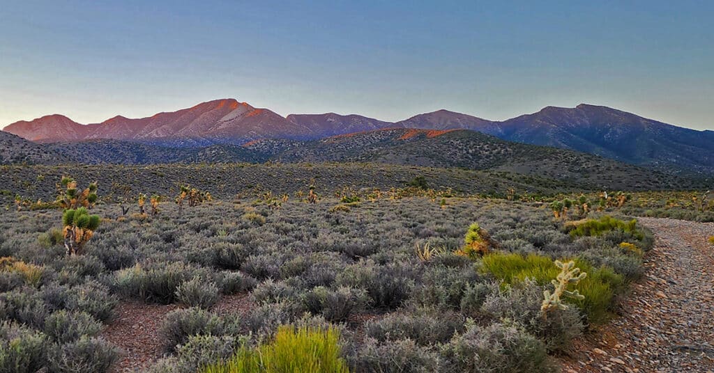
The Kyle Canyon Grand Crossing North is the Northern half of the larger Kyle Canyon Grand Crossing which begins at the intersection of Kyle Canyon and Harris Springs Roads, ascends to the El Bastardo Mountain area on the Keystone Thrust above Red Rock Canyon, then descends to Red Springs Desert Oasis in the Calico Basin. This Northern half of the adventure takes you to the saddle between Burnt Peak and El Bastardo Mountain on the Keystone Thrust Ridgeline, looks down to Red Rock Park and contemplates various routes into the park below before returning to the starting point on Kyle Canyon Road. Highlights include a walk though the beautiful La Madre Mountains Wilderness camping, navigating numerous rocky plateaus through the wilderness up the Burnt Peak approach ridge, exploring a section of the upper Keystone Thrust and seeing spectacular 360-degree views all along the route. Route details: 20 Miles + RT / 4500-7900ft; *Some Road, Mostly Wilderness* Click image or title above for more…
Griffith Peak South Approach from Lovell Canyon | Spring Mountains, Nevada

Overview at least 3 approaches to Griffith Peak summit from the Lovell Canyon Trail Trailhead. This approach to the summit will be longer than the traditional Kyle Canyon approach, with 2000ft more elevation gain, but the view is wide open all the way to Griffith Peak summit and the terrain snow-free for an additional month both earlier and later in the season! With this approach route you could be the first and last person to summit Griffith Peak this year. Click image or title above for more…
Harris Mountain from Lovell Canyon | La Madre Mountains Wilderness | Spring Mountains, Nevada
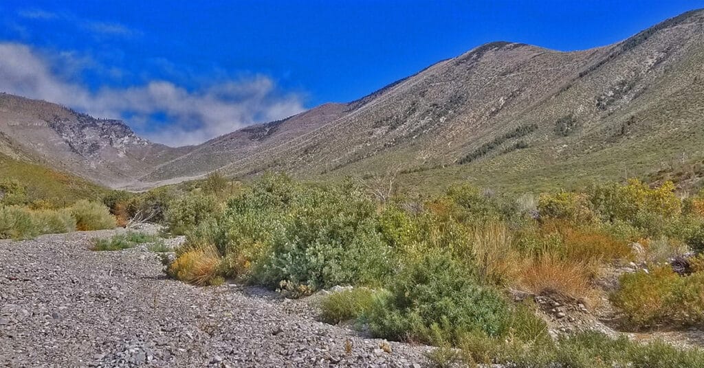
Harris Mountain from Lovell Canyon is a challenging long distance adventure with an elevation gain of over 4,000ft. However, the elevation gain and the distance are not the main challenge. The greatest difficulty factor is the terrain covered which includes a 5-mile rocky canyon wash, navigating brush and burned out fallen trees and at least 2 miles of steep avalanche slopes – all with no trails.
However, even given these difficulties the rewards are great including:
*A unique high altitude perspective of Lovell Canyon from its East side
*Total peace and solitude – the experience of having a major canyon all to yourself
*Views of the entire expanse of Lovell Canyon all the way to Potosi Mountain, Griffith Peak, Sexton Ridge and the Lovell Canyon, Handy Peak, Griffith Shadow Loop trails area.
Lovell Canyon Trail & Loop | Lovell Canyon, Nevada
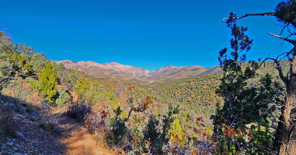
Lovell Canyon trail quickly ascends and then follows a ridge on the Western side of Lovell Canyon with many grand views up the canyon to Griffith Peak and Harris Mountain. The canyon is beautiful, fairly untouched and features spectacular views of Griffith Peak, Harris Mountain and their long descent ridges on either side of Lovell Canyon. Lovell Canyon Trail branches into Lovell Canyon Loop which makes a large circuit around Handy Peak. Lovell Canyon Loop descends into Lovell Canyon’s main wash. In addition it provides access to Schaefer Springs Loop and Griffith Shadow Loop. Route details: About 5.5 Miles RT; **Excellent Trail** Click image or title above for more detail…
La Madre Mountain Eastern Approach from Red Rock Park, Nevada

The Eastern approach route will begin following the same path as the Southern approach route starting at the Sandstone Quarry parking area (Turtlehead Peak trailhead). From there head up Red Rock Wash and circle around the upper end of the Turtlehead Peak ridge system into Calico Basin, cross the upper Calico Basin, circle around the East end of the Keystone Trust and finally ascend the North side of La Madre Mountain.
It’s important to note that as with the other routes up La Madre Mountain, this route is quite the marathon and the most limiting factor will be enduring the distance and altitude gain. Image: Damsel Peak from La Madre Mt. East approach. Route description: 28 mi / 4306-8000ft; *Wilderness, No Trail* Click image or title above for more…

