Scorpion Peak Loop | Railroad Mountains, Nevada
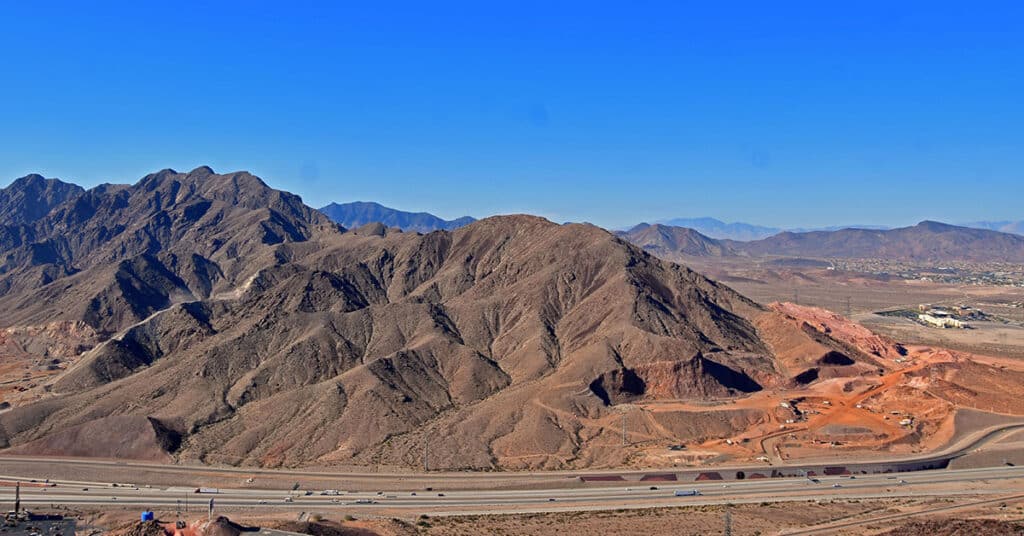
Fun Route to a Challenging Summit with Unique 360-Degree Views! Click the image or title above for details.
River Mountains Overview | Lake Mead NRA, Nevada
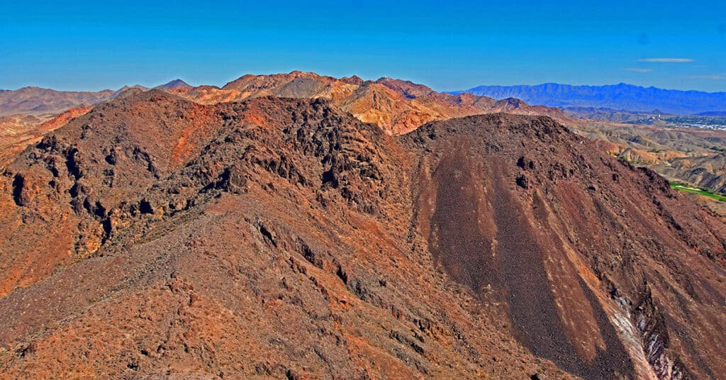
Explore this huge, rugged volcanic mountainous area circled by a great 34-mile hiking / biking loop trail just South of Las Vegas, Nevada! Click the image or title above for details.
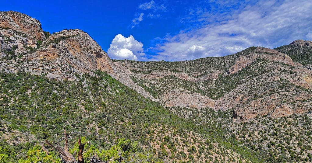
Mummy’s Forehead Summit | Mt. Charleston Wilderness, Nevada
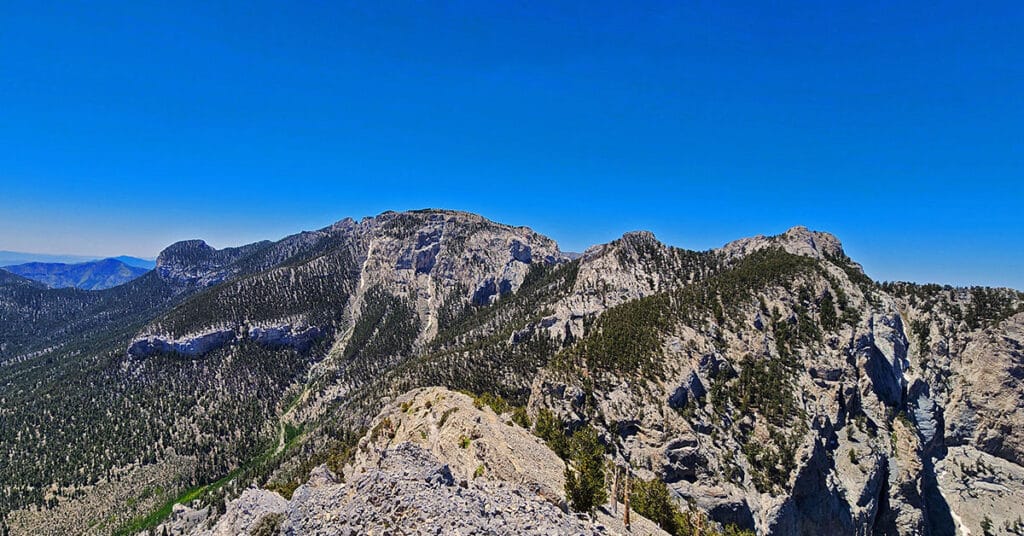
Mummy’s Forehead is the Beautiful, Isolated Northernmost Summit on Mummy Mountain in Southern Nevada’s Mt. Charleston Wilderness. Click the image or title above for details.
Potosi Mine and Tram | Potosi Mountain, Nevada
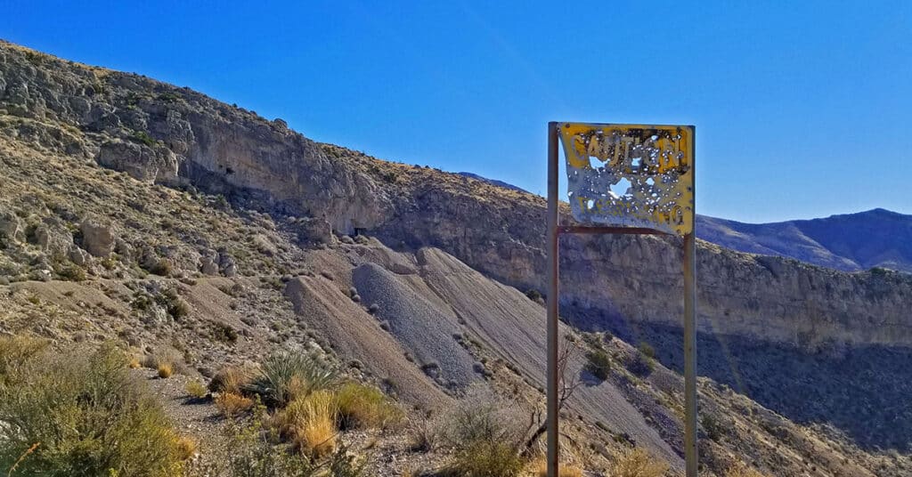
Visit Nevada’s oldest mining operation dating back to 1855. Click the image or title above for details.
Sawmill Trailhead Trails | Lee Canyon | Mt Charleston Wilderness, Nevada

Enjoy 6 beautiful, forested trails on the Eastern slopes of Southern Nevada’s Spring Mountains. Click the image or title above to view the trails.
Switchback Spring Loops Intro | La Madre Mountains Wilderness, Nevada
The Switchback Springs North and South Loops in the La Madre Mountains Wilderness deliver an experience of 3 great ridge systems in Southern Nevada: 1. The La Madre Mountains Ridge; 2. The Wilson Ridge; 3. The Rainbow Mountains Upper Crest Ridgeline. Overview the routes of both loops along with how to access the loops from Willow Spring in Red Rock Canyon. Click the image or title above for details.
La Madre Springs West Ridge Loop | La Madre Mountains Wilderness, Nevada
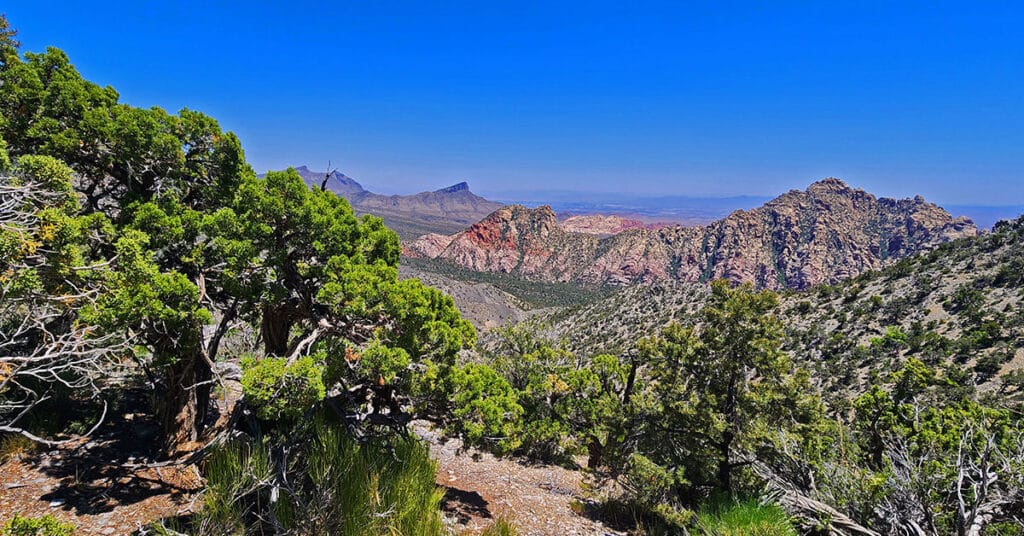
This hike makes the beautiful Juniper and Pine zone in the La Madre Mountains Wilderness closer and more accessible, including expansive views of terrain from the Wilson Ridgeline to the Rainbow Mountains to Red Rock Canyon, the Brownstone Basin and all the way to the Las Vegas Strip and beyond! Click the image or title above for details.
Carole Lombard Plane Crash Site | Potosi Mountain, Nevada
Find Out How to Locate This Famous Plane Crash Site on Potosi Mountain, Nevada | Click the image or title above for details.
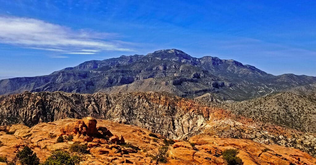
Indecision Peak Summit | Rainbow Mountain Wilderness, Nevada

Summit the challenging, overlooked Indecision Peak just South of Mt. Wilson in the Rainbow Mountain Wilderness, Nevada. Click the image or title above for details.
CIA Plane Crash in 1952 | Panamint Mountains | Death Valley, CA

Explore the crash site of a Cold War Era CIA Air Force SA-16 Albatross plane that crashed into the side of a steep slope in Death Valley, CA’s Panamint Mountains near Towne Pass on the night of January 24, 1952. Click the image or title above for details.