Dales Trail | Red Rock Canyon, Nevada
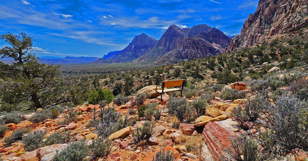
Dales Trail in Red Rock Canyon, Nevada, runs 2.2-miles along the Eastern base of the Rainbow Mountains between Pine Creek Canyon and Ice Box Canyon. At nearly every point along the way there are sweeping views of Red Rock Canyon. The trail skirts the Eastern Base of Bridge Mountain where one can observe potential routes to that hidden forest just below and to the East of Bridge Mountain’s summit block. The best time of year to hike Dales Trail is mid-Fall through mid-Spring. Click the image or title above to learn more…
SMYC Trail | Red Rock Canyon, Nevada
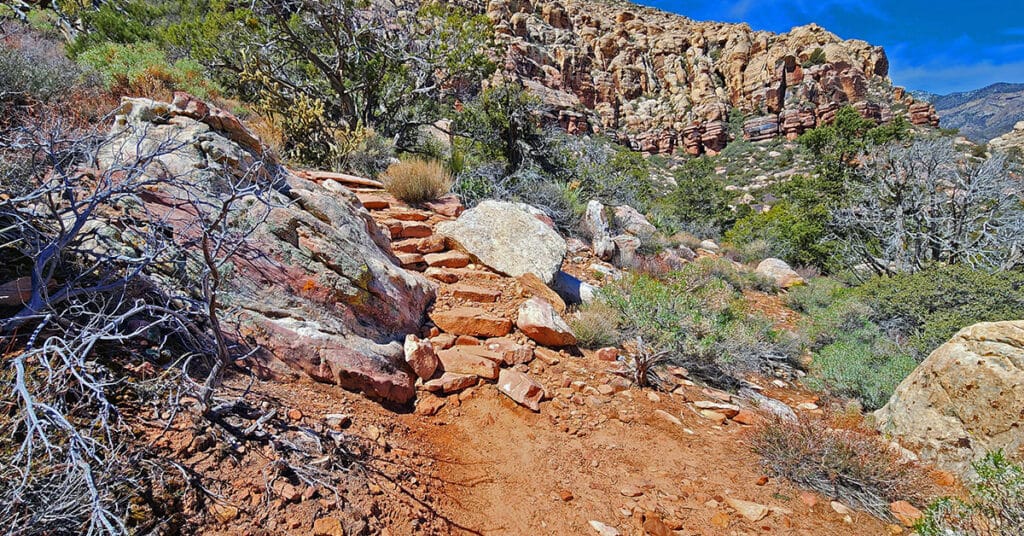
The SMYC Trail is a beautiful, easy 2-mile trail running along the base of the Rainbow Mountains, Nevada, between Willow Spring and Ice Box Canyon. Two high points afford spectacular views of Red Rock Canyon and surroundings. This is the Northernmost of a series of trails running along the Eastern base of the Rainbow Mountains in Red Rock Canyon between Willow Spring and Oak Creek Canyon. Click on the image or title above for images, a video and more details.
Free Website Accessibility Audit

Find out if your website is ADA accessible to the 20% viewers with disabilities. Attract new customers. Comply with ADA legislation. LasVegasAreaTrails.com is committed to providing a virtual wilderness experience to all people regardless of physical condition and limitations. Therefore this website is totally ADA compliant. Visitors can use a powerful AI tool to configure their website experience. We offer this same tool to all business website owners.
Ash Canyon to Calico Tanks | Calico Basin, Nevada
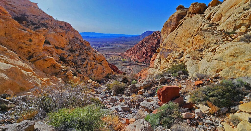
Beginning at the Kraft Mountain Trailhead in Calico Basin, ascend to the summit of Ash Canyon on the Ash Canyon Trail. Descending from Ash Canyon Summit connect with the Rattlesnake Trail and continue to the Calico Tanks Trail. After visiting Calico Tanks return to the Rattlesnake Trail. Ascend to the summit of that trail then descend into Gateway Canyon in the Calico Basin. Ascend Hell Hill Trail on Kraft Mountain to Pink Goblin Pass and finally descend to your starting point at the Kraft Mountain Trailhead. Experience spectacular views of 4 major wilderness areas and much more. Route Details: Approximately 10 miles RT on some fairly good trails and some unmarked sketchy trails. Best time for this adventure: Mid Fall through Mid Spring.
Ice Box Canyon | Red Rock Canyon National Conservation Area, Nevada
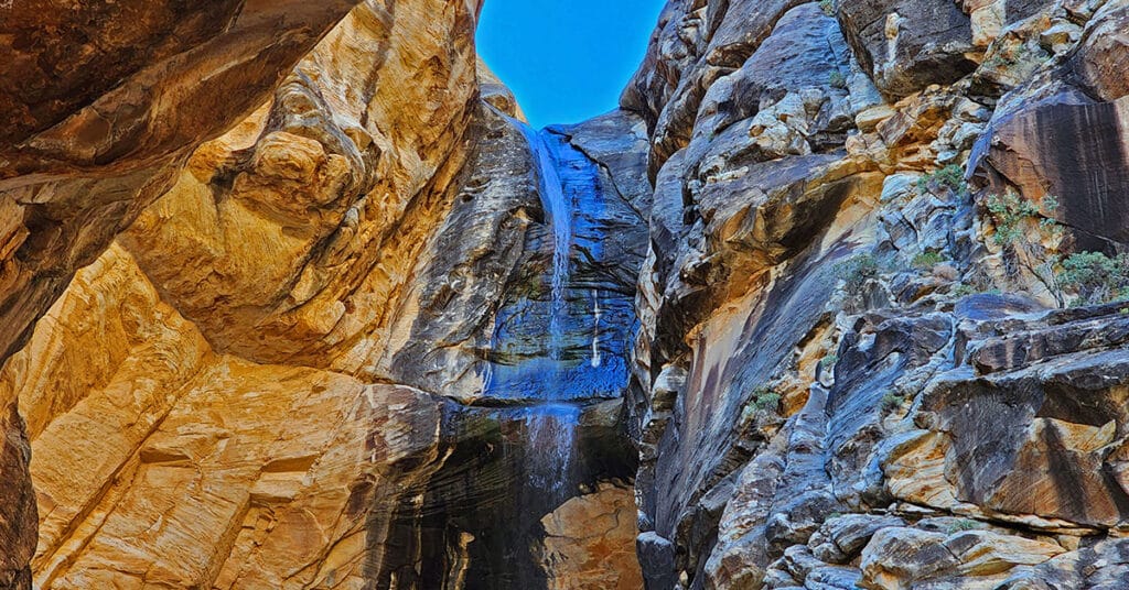
Ice Box Canyon, located on the Eastern side of the Rainbow Mountains between Willow Spring and Pine Creek Canyon is one of the most popular hikes in Red Rock Canyon. The brief 2.2-mile hike introduces the beauty and challenge of traversing the brush, boulders, ledges and streams in the canyons on the Eastern side of the Nevada’s Rainbow Mountains. This is a great 2nd canyon experience if you’ve never navigated such terrain. Easier, as a first experience is Lost Creek Canyon to the North. More difficult are Pine Creek, Oak Creek and First Creek Canyons to the South.
Mesquite Grove | Furnace Creek | Death Valley National Park, California
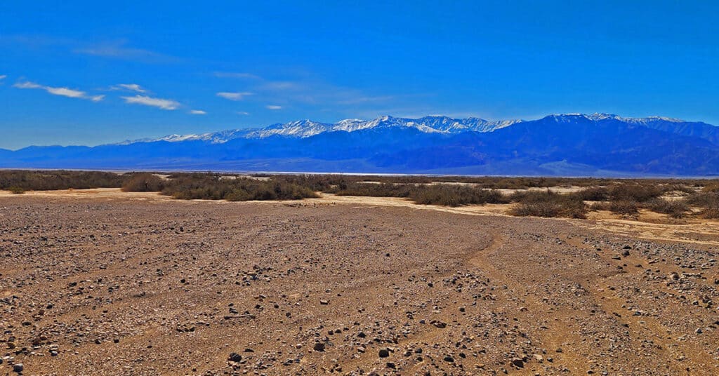
Mesquite Grove in Death Valley National Park, California, is a huge crescent-shaped grove of desert mesquite trees stretching from the North side of Furnace Creek to the South side of Golden Canyon. The grove is so huge that it is visible from the distant summits of Wildrose Peak and Telescope Peak in the Panamint Mountains across Death Valley. Mesquite Grove, often overlooked, contains hidden wonders and is worth some exploration.
Badwater to Mahogany Flat | Death Valley National Park, California
Visitor Guide 2020-2021 Death Valley Visitor Guide Badwater to Mahogany Flat | Death Valley National Park, California Area Satellite View North Satellite View South Satellite View Adventure Video Will Appear Here Overview | Badwater to Mahogany Flat | Death Valley National Park, California This adventure to occur during an upcoming Winter. The goal is to […]
Systematic Digital Integration for Books

The hub of digital integration is an information-rich website with content on major internet platforms. We produce your book as a multi-media presentation referencing content on your website and major internet platforms.
Canyons & Caves | Blue Diamond Hill | Red Rock Canyon, Nevada
Red Rock Canyon Keystone Visitor Guide Southern Nevada Conservancy Birding Guide Canyons & Caves | Blue Diamond Hill | Red Rock Canyon, Nevada Red Rock Canyon Website Area Satellite View North Satellite View South Satellite View Adventure Video Will Appear Here Overview | Canyons & Caves | Blue Diamond Hill | Red Rock Canyon, Nevada […]
Western Trails and Ridges | Blue Diamond Hill, Nevada
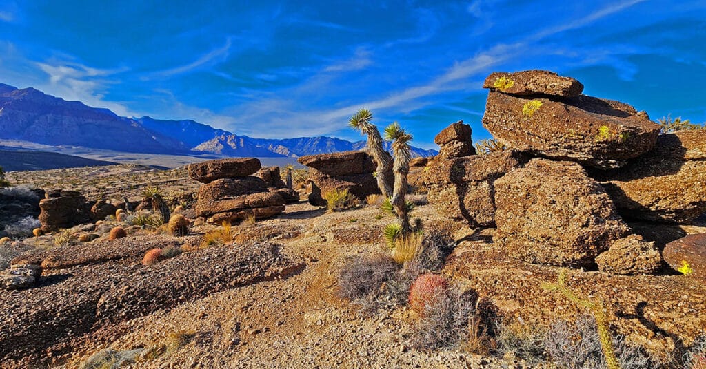
4.5-million-year-old fossils everywhere along this route! These Western trails on Blue Diamond Hill include Fossil Ridge, First Finger, Second Finger, Cat in the Hat and Bunny Trail. Spectacular rock formations on Kibbles ‘N Bits Trail. Great views of Cowboy Canyon and Echo Canyon. Great views of Cowboy Canyon and Echo Canyon. Distant panoramas include The Rainbow Mountains, Red Rock Canyon and the cliffs of the Keystone Thrust in the La Madre Mountains Wilderness. Route Details: About 6-8 miles, multiple times ascending Blue Diamond Hill, good trails. Best time of year: Mid Fall through mid-Spring. Click image or title above for more…

