The Blue Diamond Hill Southern Triangle | Red Rock Canyon National Conservation Area, Nevada
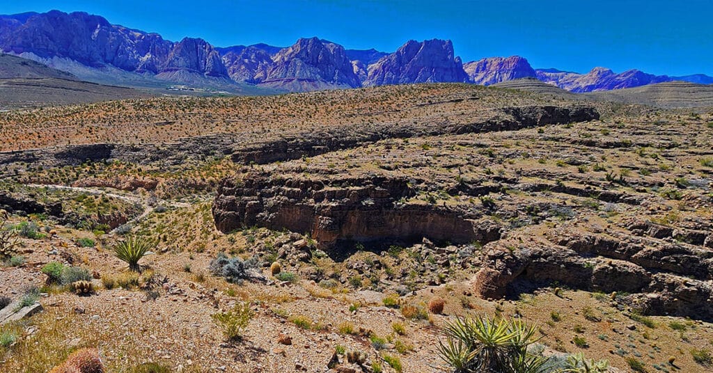
The Blue Diamond Hill Southern Triangle is a formation of two deep majestic canyons just South of the Gypsum Mine Road off of Highway 159. Navigate a few challenges, discover some limestone caves, experience spectacular views! The best time of year for this adventure is Fall through Spring. Click the image or title above for more details.
Blue Diamond Hill Southern Ridgelines, Nevada
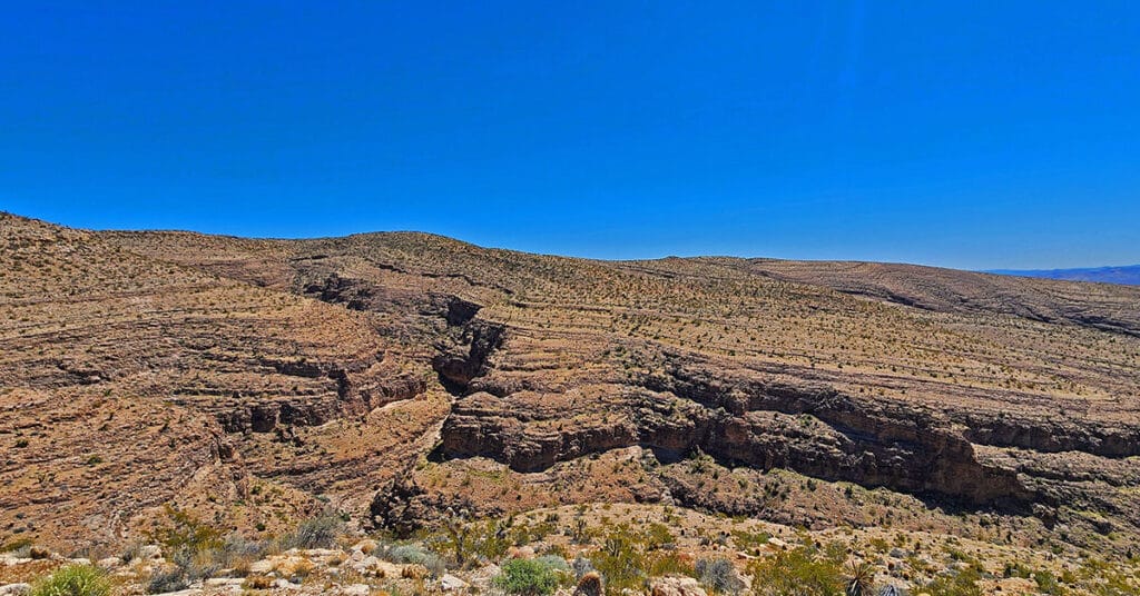
Enjoy non-stop eagle-eye views of the entire Rainbow Mountain range from a Southern perspective while simultaneously surrounded by majestic canyons! This little-known Southern wilderness area on Blue Diamond Hill is across highway 159 from the town of Blue Diamond. Click the image or title above for more details.
Fossil Canyon | Cowboy Canyon | Blue Diamond Hill, Nevada
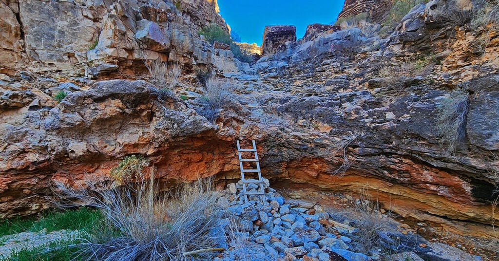
Experience two huge, wild canyons in Blue Diamond Hill just outside of Las Vegas, Nevada. Navigate the full length of these canyons through trails and stretches of pathless wilderness. Discover ancient fossils and enjoy spectacular views of Red Rock Canyon and the Rainbow Mountains framed by towering cliff walls. Best time of year for this adventure: Fall through Spring. Click the image or title above for more details.
Brownstone Trail | Calico Basin | Brownstone Basin | La Madre Mountains Wilderness, Nevada
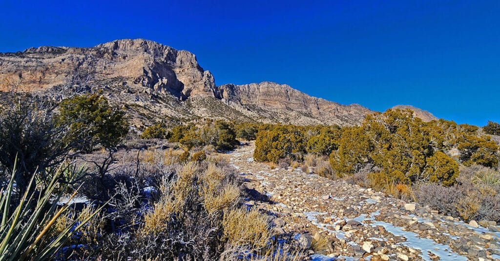
The Brownstone Trail adventure spans Nevada’s Calico Basin, Brownstone Basin and La Madre Mountains Wilderness. Along the way, there are spectacular views of the La Madre Mountains Ridgeline, Damsel Peak, the Las Vegas Valley and Strip and the Jurassic Era calico sandstone Gray Cap Ridge. Click the image or title above for more detail.
Calico Basin Daily Workout Trails | Calico Basin, Nevada
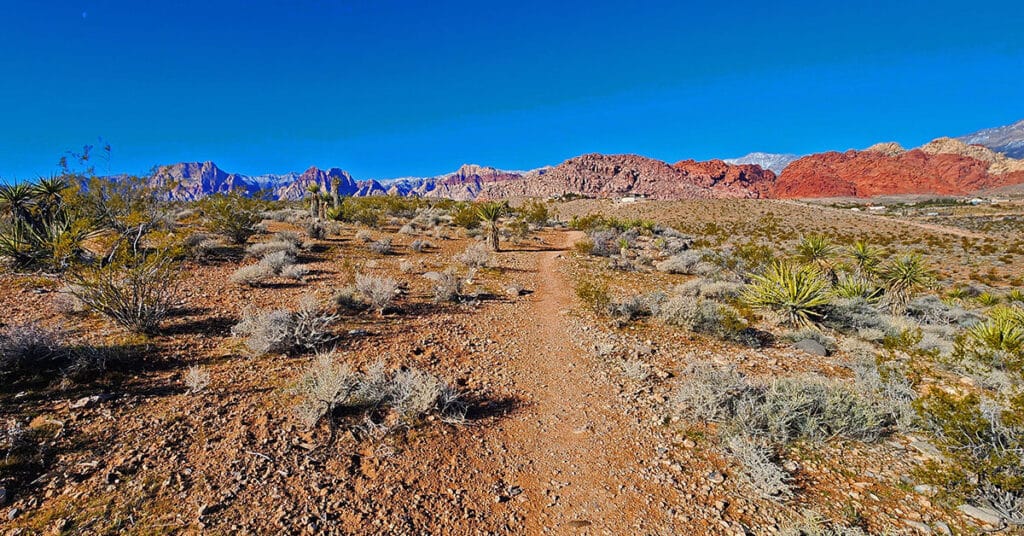
This extensive network of trails in the lower Calico Basin, Nevada, is an awesome setting for daily conditioning workouts whether your sport is hiking, trail running or mountain biking. The trail system is just a few miles from metropolitan Las Vegas, making access convenient. Work out year-round in a natural setting on a healthy running surface. Build strength, endurance, flexibility and agility! Click the image or title above for more details.
Cow Camp Road | Sheep Range | Desert National Wildlife Refuge, Nevada
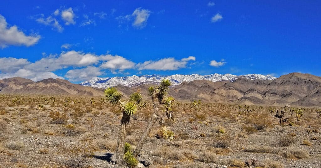
Cow Camp Road is a branch off of Alamo Road (at the 12-mile point) in the Desert National Wildlife Refuge in Southern Nevada. On the Northern tip of the Sheep Range the 5.7-mile long Cow Camp Road provides a great approach to the Sheep Peak trailhead, Sheep Peak being the 2nd highest point in the Sheep Range at 9750ft. The trailhead elevation is about 5,750ft. In addition there are camping areas in and beyond the canyon pass on Cow Camp Road and beautiful views of the Northern area of the Sheep Range. I took the trip up Alamo Road on a mountain bike, then ascended Cow Camp Road on foot so there are ample 360-degree video views along the way. Route details: 28 Miles RT from DNWR HQ – 4WD Roads Click image or title above for more…

