
Calico Hills Overview | Red Rock Canyon, Nevada
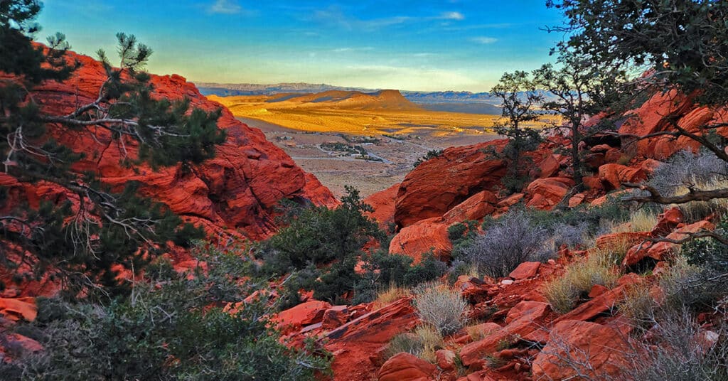
The Calico Hills are the Jurassic Era sandstone hills that form the border between the Red Rock Canyon Scenic Drive area to the West and the Calico and Brownstone Basins to the East. There are many hiking routes around and up to the summit of the Calico Hills. Experience colorful sandstone rock gardens with cacti, desert holly, junipers and pinyon pines. The higher areas have spectacular views. There are exciting adventures for hikers and rock climbers of all experience levels. Click the image or title above for details.
Northern Red Rock Canyon Overview, Nevada
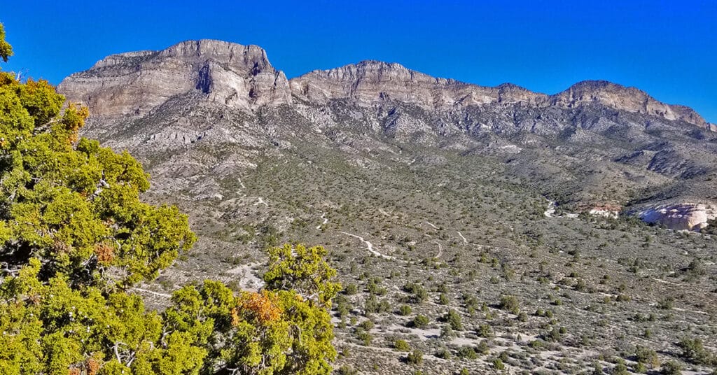
The Northern area of the Red Rock Canyon Scenic Area is located at the base of the La Madre Ridgeline (those tall cliffs above the upper end of the Red Rock Canyon Scenic Drive). This is a dramatic transition area of terrain and geology! Click the image or title above for detasils.
Eastern Red Rock Canyon Overview, Nevada
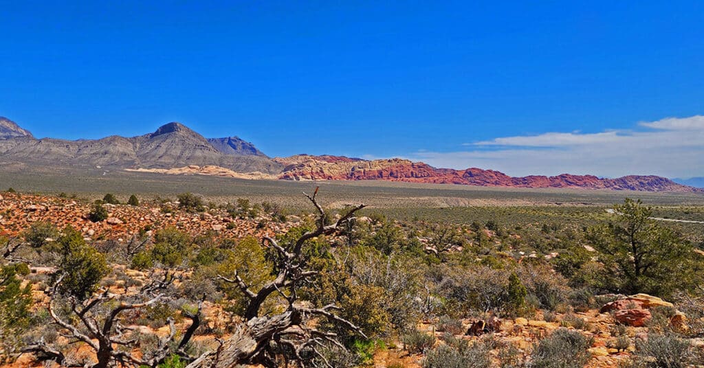
Explore Eastern Red Rock Canyon. Here, we refer to Red Rock East as the East side of the BLM Red Rock Canyon Scenic Drive including the ridgeline between the scenic drive area and the Calico and Brownstone Basins. More specifically, here Red Rock East refers to the Calico Hills, Turtlehead Peak and its ridgeline to the North. Click the image or title above for details.
Rainbow Mountains Eastern Canyons | Rainbow Mountain Wilderness, Nevada
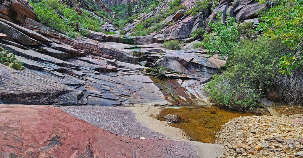
The Rainbow Mountains Eastern Canyons are unique wilderness worlds unto themselves. It’s a magical feeling just to gaze around in the midst of one of these canyons. In addition, the canyons offer challenging routes to the sandstone peaks above. Each canyon presents its own unique fun navigational puzzle. The surrounding cliffs are a world class destination for rock climbers. Click the image or title above for details.
Rainbow Mountains Eastern Baseline Trails | Rainbow Mountain Wilderness, Nevada
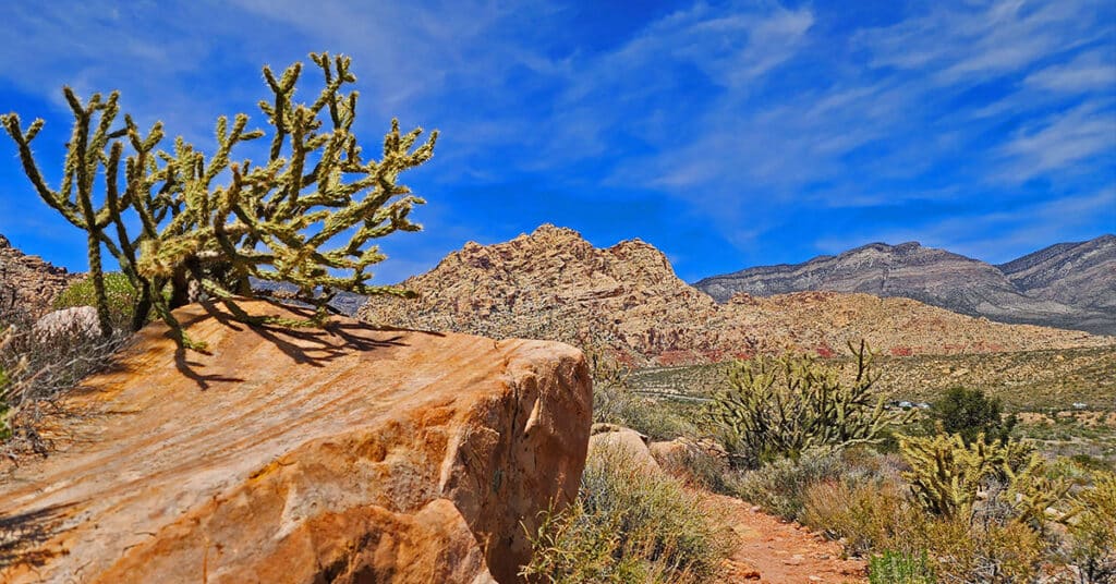
There’s a great way to experience the beautiful Rainbow Mountains of Nevada without climbing them. Hike the Rainbow Mountains Eastern Baseline Trails. These trails are an easy class 2 walk, yet put you in the sandstone area looking up at the colorful mountains towering above. Click the image or title above for details.
Harris Griffith Saddle Ridgeline Overview | Lovell Canyon, Nevada
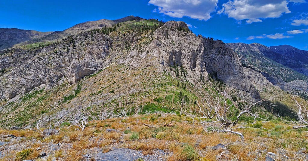
The Harris Griffith Saddle Ridgeline in Nevada is that high ridgeline at the top of Lovell Canyon between Harris Mountain – elevation 10,014ft – and Griffith Peak – elevation 11,056ft. Due to its remote access points the ridgeline has a pristine wilderness feel and is well worth an adventure! Click the image or title above for details.
Sexton Ridgeline Overview | Lovell Canyon, Nevada
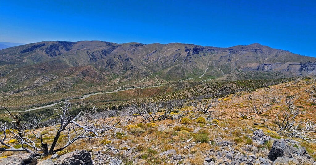
Sexton Ridgeline runs along the Western border of Lovell Canyon in Nevada. The high point on Sexton Ridgeline is Griffith Peak, elevation 11,060ft. The 2013 Carpenter 1 Fire burned much of the ridge destroying ancient Bristlecone Pine forests. But this also contributed to wide open spectacular views! Click the image or title above for details.
Wilson Ridgeline Overview | Lovell Canyon, Nevada
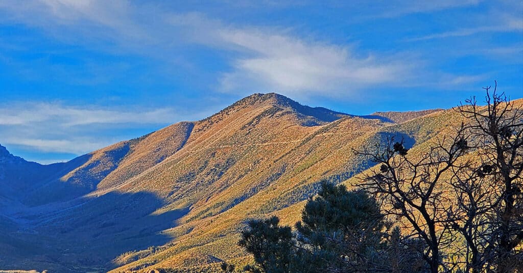
The Wilson Ridgeline is the natural border between Lovell Canyon and Kyle Canyon in Nevada. The ridgeline descends from its high point at Harris Mountain in the Mt. Charleston Wilderness all the way to Highway 160 at Potosi Mountain. Elevations in the upper ridgeline range from 8,000 to over 10,000 feet. The Wilson Ridgeline is huge, and could merit its own entire wilderness area! Click the image or title above for details.
Rainbow Mountain Peaks | Rainbow Mountain Wilderness, Nevada
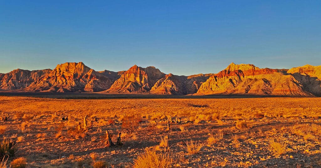
View 15 of the most famous, beautiful Jurassic sandstone peaks in the Rainbow Mountains of Nevada. Discover routes to every summit. Click the image or title above for details.
Picnic in Kyle Canyon | Mt. Charleston Wilderness, Nevada
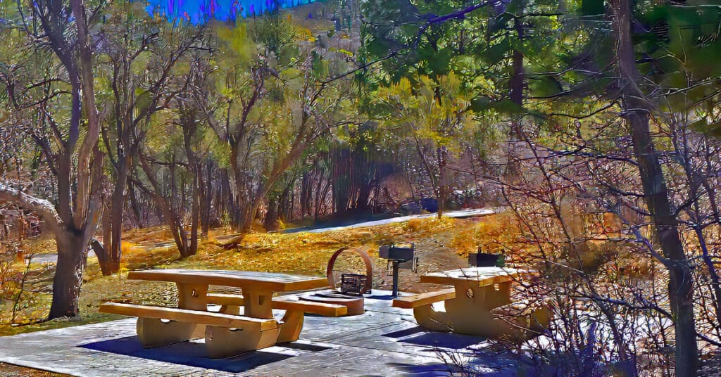
Enjoy a picnic in Kyle Canyon, in the midst of a majestic Ponderosa Pine forest. You’re surrounded by the highest mountain peaks in Southern Nevada. All this is only 40 miles from the Las Vegas Strip! Click the image or title above for details.