Eureka Mine | Harrisburg (Aguereberry Camp) | Cashier Mill | Death Valley, California
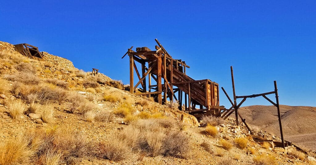
Eureka Mine and its supporting mining town, Harrisburg (Aguereberry Camp) and Cashier Mill were founded by Pete Aguereberry and Shorty Harris in 1905. Cashier Mill, built in 1909, utilized gas power to extract gold from the ore hauled from Eureka Mine, first pulverizing the ore, then using mercury and cyanide to extract the gold. Route Details: Turn left off of Emigrant Canyon Road onto Aguereberry Point Road. Eureka Mine along with Pete Aguereberry’s Cabin and the Cashier Mill are less than a mile up the road on the right. Click image or title above for more…
Eureka Dunes by Mountain Bike | Death Valley National Park, California
Eureka Dunes in Death Valley California and the tallest dunes in the State, rising over 680 feet above the desert floor. High winds on the dunes can literally blow you off your feet as you ascend toward the summit. However, you are likely to experience a soft landing on the sand. This trip via mountain bike covers around 40 miles of unpaved desert roads. Click image or title above for more…
Devil’s Racetrack by Mountain Bike | Death Valley National Park, California
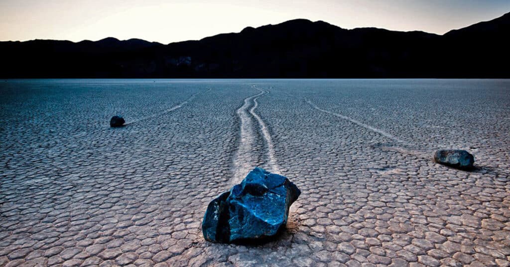
Devil’s Racetrack is a dry flat lake bed in Death Valley, technically referred to as a playa, so flat that huge rocks are blown long distances by high winds when ground is wet. During wet, high wind conditions large rocks are moved across the lake bed leaving long tracks that are solidified when the lake bed is later baked in the high desert heat. This adventure journey covered nearly 40 miles of unpaved desert roads by mountain bike. Click image or title above for more…
Death Valley In a Day | Death Valley National Park, California
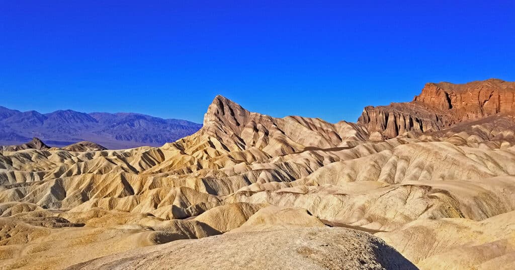
Death Valley in a day is a one day whirlwind tour of many of the most popular sites in Death Valley National Park, California. It’s a great place to start if you are planning a brief first-time visit and overview of Death Valley. Locations visited in order: Dante’s View at sunrise, Zabriskie Point, Ubehebe Crater, Titus Canyon, Mesquite Sand Dunes, Devil’s Cornfield, Salt Creek, Harmony Borax Works, Furnace Visitor Center, Furnace Creek Ranch, Death Valley Museum, Devil’s Golf Course, Badwater Basin, Artist’s Drive, Golden Canyon, The Inn and Oasis at Death Valley. Sunrise to sunset in Death Valley.
Death Valley Crossing | Death Valley National Park, California
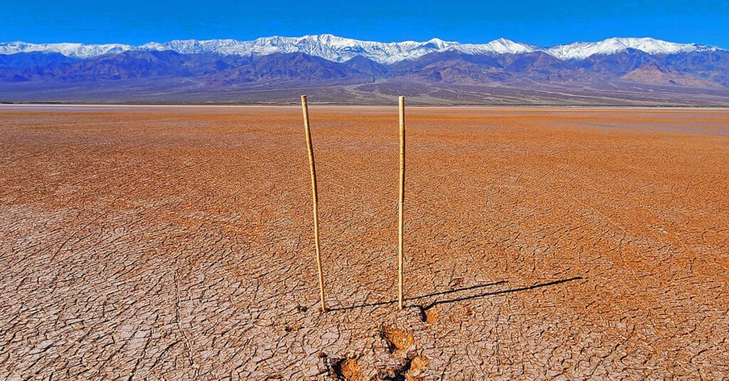
What’s out there in the middle of Death Valley? People want to know first hand. Case in point:: The constant procession of Badwater visitors walking out into the desert as far as they can go during their visit. Death Valley draws you in, but nearly everyone turns around after just a quarter mile. See what it’s like to go from Badwater to the very middle of Death Valley and then a little beyond. What will you experience? What do you need to know?
Darwin Falls | Death Valley National Park, California
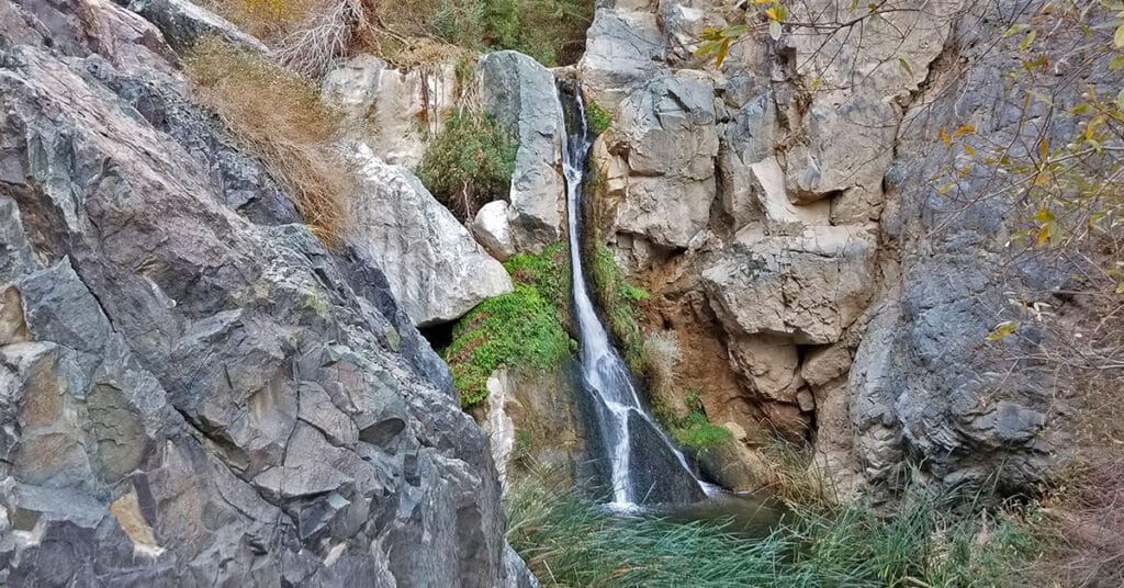
Darwin Falls oasis is fed by a spring so powerful that it cascades as a large waterfall 80 feet down a cliff face year-round, giving rise to a seemingly unique and isolated tropical community of birds, frogs, reeds, ferns and trees surrounding the large pond at the base of the falls. The stream and the unique life zone then meanders along another quarter mile creating a few smaller singing waterfalls before finally disappearing into the floor of the arid desert canyon below. 2-Mile RT; approx. 2500 > 2700ft **Good Trail, Sketchy Near Falls** Click image or title above for more…
Dante’s View to Mt Perry | Death Valley National Park, California
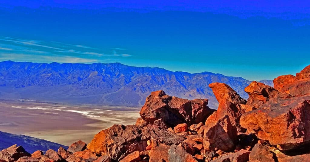
The elevation of Dante’s View is 5,475ft and the elevation of Mt. Perry is 5,716ft, but that alone is not the entire story. The scenery from Dante’s View all the way to Mt. Perry is uniquely spectacular. From Dante’s View’s 5,475ft perspective one can look almost straight down into Badwater Basin, at -282ft below sea level, the lowest point in the Western Hemisphere. But that is not all. From Dante’s view one can look directly across the width of the vast expanse of Death Valley 20.6 miles away to the 11,049ft Telescope Peak and the entire expanse of the Panamint Mountain Range along with much of Death Valley’s 100-mile length. Route Details: Approx. 8 Miles RT; 5,575 > 5,738ft **Well Established Trail** Click image or title above for more…
CIA Plane Crash in 1952 | Panamint Mountains | Death Valley, CA

Explore the crash site of a Cold War Era CIA Air Force SA-16 Albatross plane that crashed into the side of a steep slope in Death Valley, CA’s Panamint Mountains near Towne Pass on the night of January 24, 1952. Click the image or title above for details.
Camping and Backpacking in Death Valley, California
Last Updated on September 8, 2023 by David Smith Visitor Guide 2020-2021 Death Valley Visitor Guide Camping & Backpacking | Death Valley National Park, California Area Satellite View North Satellite View South Satellite View Please refer to this map for finding the locations described below. Expand to view map legend and additional detail. Overview | […]
Badwater to Mahogany Flat | Death Valley National Park, California
Last Updated on February 28, 2023 by David Smith Visitor Guide 2020-2021 Death Valley Visitor Guide Badwater to Mahogany Flat | Death Valley National Park, California Area Satellite View North Satellite View South Satellite View Adventure Video Will Appear Here Overview | Badwater to Mahogany Flat | Death Valley National Park, California This adventure to […]
