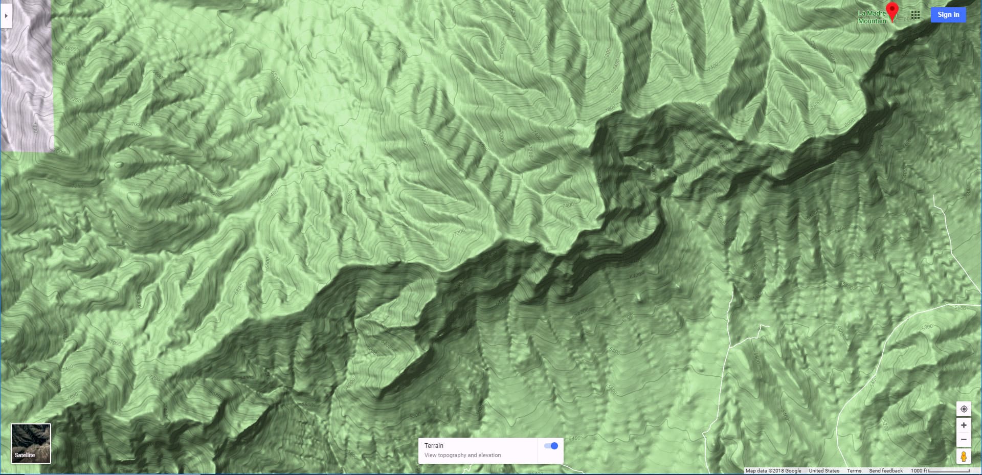
Overview | La Madre Springs West Ridge Loop | La Madre Mountains Wilderness, Nevada
Why Explore the La Madre Springs West Ridge Loop?
This delightful little accidental adventure ended up on an forested height with a spectacular view. That line of cliffs just North of White Rock Mountain in Red Rock Canyon are paradise for those who enjoy expansive wilderness views. And you don’t even need to summit the cliffs. Some of the best views can be had at the base of the cliffs where your elevation is much higher than White Rock Mountain below.
How Easy is it to Get to The La Madre Springs West Ridge Loop Viewpoint?
One of the best features of this adventure is that you can get to the best viewpoint just 2-3 miles from the Willow Springs picnic area in Red Rock Canyon. In terms of difficulty it’s mostly a class 2 walk up a steep ridge. The surface is loose rock and there are some rocky high points to navigate, but it’s still pretty much a walk. And you need not face any exposure to a fall beyond a few feet.
What Can You See from the La Madre Springs West Ridge Loop?
Here’s a short list of what you can see from the base of the La Madre Ridgeline cliffs (around 6,000ft elevation):
What’s the Adventure Route of the La Madre Springs West Ridge Loop?
Beginning at the Willow Springs picnic area, follow the trail signs to La Madre Springs. A little way into the brush-choked La Madre Springs gully, escape the gully by ascending a ridgeline to your left (West) and keep ascending until you reach the base of the La Madre Ridgeline cliffs above. Take a left (West) and fairly easily cross a couple ridgelines (the gullies between the ridgelines are shallow near the base of the cliffs above). There are even some animal trails to help. Once on the tallest ridgeline, find a descent ridge below heading Southwest and landing very close to your starting point on the La Madre Springs trail near Willow Springs picnic area.
Best Time of Year for This Adventure
Stick to Spring or Fall, when the temperature in Las Vegas is between 75-90 degrees. Winter can bring hazardous icy conditions and Summer can bring dangerously high temperatures exceeding 110 degrees.
Potential Route To the La Madre Ridgeline Summit?
Reversing the above route, you can quickly get to the summit of the highest approach ridgeline at the base of the La Madre Ridgeline cliffs. There, just above the summit of that ridgeline I noticed a potential ascent crack through to the summit of the La Madre Cliffs. I have not tested this cliff crack passage. It may be impassible. It may be no more difficult than a class 3 rock scramble. At the least, you will need to be an experienced rock climber and take all the precautions experienced rock climbers observe. But you don’t need to deal with the cliffs if you just want to enjoy the spectacular views on the La Madre Springs West Ridge Loop at the base of the cliffs!
Directions to Route Starting Point | La Madre Springs West Ridge Loop | La Madre Mountains Wilderness, Nevada
Take the Highway 159/Red Rock Canyon exit off I-215. Take a right onto the Red Rock Canyon Scenic Loop. Circle the scenic loop past the high viewpoint and on to the far Northwest side of the loop. Take a right turn to Willow Spring and park at the picnic area located at the end of the asphalt road.
Narrative Guide | La Madre Springs West Ridge Loop | La Madre Mountains Wilderness, Nevada
Getting Your Initial Bearings
Most of your entire route will become visible about a quarter-mile above the Willow Springs Picnic Area as you begin to round the Northwest edge of White Rock Mountain. Begin by taking the La Madre Springs/White Rock Mountain Loop Trail at the upper end of the Willow Springs Picnic Area. The trails begin as you continue up the unpaved Rocky Gap Road beyond the asphalt road of the picnic area. Soon, as you reach the Northwest edge of White Rock Mountain, take a right onto the trail marked by the large entrance sign for the La Madre Mountains Wilderness area. You’re actually continuing around White Rock Mountain on the White Rock Mountain Loop Trail which doubles at first as the La Madre Springs Trail.
This is a good point to get your initial bearings. Notice the distinctive line of cliffs above to the North. This is the La Madre Mountains Ridgeline. To the East you might notice a low point in the ridgeline, along with a gully leading up toward the ridgeline. That’s the gully through which La Madre Springs flows. Looking straight up toward the La Madre Ridgeline Cliffs from where you are standing, notice a few approach ridgelines leading up to the base of the cliffs. The tallest ridgeline is a bit to your right (East). Now, imagine a loop route that goes up the La Madre Springs gully, ascends the ridgelines to the base of the La Madre cliffs, then descends a ridgeline landing near where you are standing. You now have a picture of most of the entire loop route!
La Madre Springs/White Rock Mountain Loop Trail to the Entrance of La Madre Springs
This is the easiest stretch of your adventure. Just take the White Rock Mountain Loop/La Madre Springs Trail along the North (back) side of White Rock Mountain. In about a mile the White Rock Mountain Loop Trail will split off to the right. The trail junction is well marked. Continue straight ahead on the wider La Madre Springs Trail. In about a half-mile you will reach the entrance of the La Madre Springs gully.
La Madre Springs Gully to the Ridgeline Ascent Point
My original goal had been to ascend the La Madre Springs Gully to the Miner’s Cabin above and then continue upward to the summit of the La Madre Ridgeline. I’ve done this a few times. The trail at the entrance of the La Madre Springs Gully dramatically narrows, and soon, at this point in history, completely disappears in a tangle of brush and reeds. You can weave your way up through this brush-tangled gully to the miner’s cabin above. But today I just got frustrated dealing with the brush and about mid-way up the gully escaped by ascending a ridge to the left (West).
Ascent to the Base of the La Madre Cliffs
Now I was curious. I’d never been above the West side of the La Madre Springs Gully and wondered where the ridges ended up. At first, there was a thick Manzanita bush wall to overcome, but the incline was no more than a steep walk on a loose gravelly surface. Soon, past the brief Manzanita brush barrier, the terrain opened up, the incline decreased a bit and the surface became generally firmer and easier to ascend. Now I was in a beautiful Juniper and Pine forest with an ever expansive view as I continued to weave my way up the ridge toward the base of the La Madre Cliffs. The reference points listed above were beginning to come into view!
Cross-Over to the Tallest Approach Ridgeline
There are a few approach ridgelines to the West of La Madre Springs. The gullies/canyons between are massive, until you reach the base of the La Madre Cliffs above. There at the base of the cliffs, the gullies between the ridgelines are fairly shallow and easy to navigate. There are even animal trails to help ease the way at various points. The tallest approach ridgeline is a couple ridgelines to the West. You can’t miss it. When you finally get to the summit of that ridgeline you can see Rocky Gap Road further to the West along with The La Madre Ridgeline, Wilson Ridgeline and Rainbow Mountains Upper Crest Ridgeline. By now the views are truly spectacular and the Juniper and Pine forest is incredibly beautiful! Notice at the summit of the tallest ridgeline, at the base of the La Madre Cliffs, there is that potential cliff passage I mentioned earlier.
From your high perspective you can trace one of the approach ridgelines back down to the very beginning of the La Madre Springs Gulch. That approach ridgeline would have been even more direct to this high point! Oh well, discoveries made by trial and error exploration!
Descending the “Short Cut” Ridgeline Back Toward Willow Springs
From your high perspective, with the terrain West of the highest approach ridgeline now visible, note a descent ridge that lands near the Willow Springs Picnic Area. I nick-named this “Short Cut Ridgeline” (see the video) because it appeared to be the most direct route back to the starting point.
Short Cut Ridgeline is pretty easy to navigate, though steep in places. It’s mostly a walk. There are 4-5 limestone rocky high points along the way down. You can easily scramble over the top of some. If you reach the top of a rocky high point and, in a few cases, are faced with a vertical drop, just look around to see an alternate route around the right or left side of the boulders. Some light class 3 rock scrambling may be required: Nothing major, and no exposure to a fall exceeding 2-3 feet at any point. Just be careful and take it step by step. Descending Short Cut Ridgeline is a fun puzzle in places. Eventually the terrain at the base of the ridgeline will level off and you’ll find yourself back on the White Rock Mountain Loop Trail only a few hundred feet from Rocky Gap Road, then another half-mile back to the Willow Springs Picnic Area.
Summary
I have not found an easier, shorter, more approachable access to the beautiful Juniper and Pine forest at the base of the La Madre Mountains Ridgeline offering this level of expansive wilderness views! The entire loop is only about 7 miles, but the pathless wilderness navigation easily doubles the time and effort required as opposed to being on a trail. Due to the remote, secluded nature of the terrain, you may feel as if you are the first person ever to traverse this ground!


