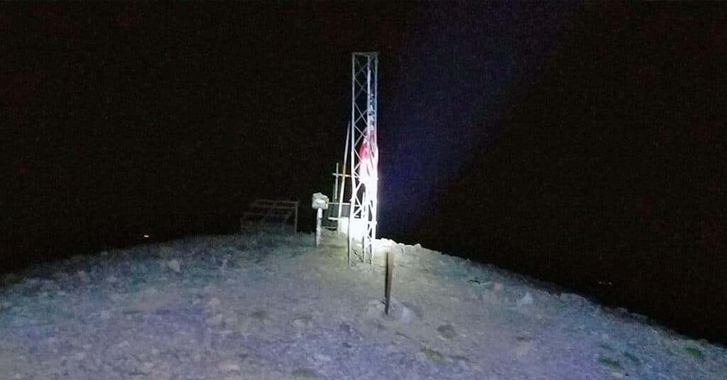
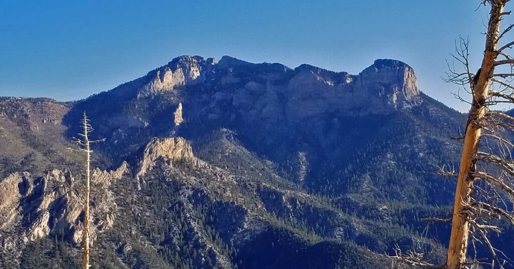
Fletcher Peak, Mummy Mountain, Lee Peak Circuit Mt Charleston Wilderness, Nevada
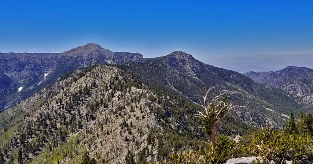
Compare the time it takes to traverse established trails (even with greater elevation gain and loss and longer distance) vs. navigating more direct and level wilderness “shortcuts” to get from Fletcher Peak to Mummy Mountain and Lee Peak. This detailed comparison of 2 routes –wilderness vs. established trails — will show that how the wilderness route takes significantly more time, though may conserve energy. Conclusion: If you want to navigate the wilderness out of interest, enjoy it. However, if you’re looking for a “shortcut”, the established trail will almost always win. Route details: Approx. 18 mi / 7,713 > 11,520ft **Some Trail, Some Wilderness** Click image or title above for more…
Fletcher Peak Mummy Mountain Circuit | Mt Charleston Wilderness | Spring Mountains, Nevada
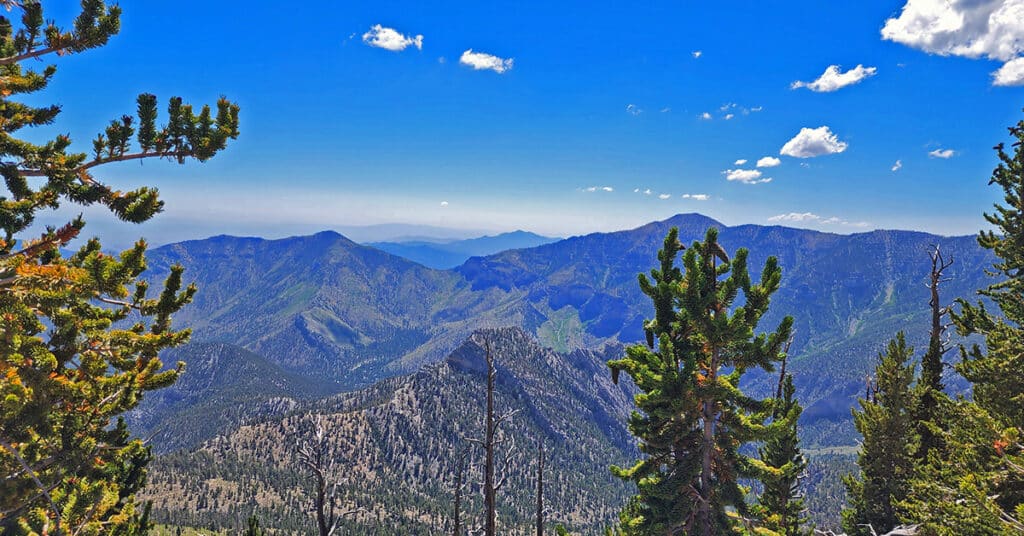
Ascend Fletcher Peak from Trail Canyon Trailhead, descend to Raintree and Mummy Springs, traverse wilderness to ascend Mummy Mt. Eastern cliffs, return to Trail Canyon Trailhead via traditional Mummy Mt. route. Adding a little more than an hour to the Mummy Mountain Eastern Approach trip includes the beautiful Fletcher Peak, opening up views of the Eastern end of Kyle Canyon including Harris Mountain, Griffith Peak, the entire length of the South ridge of Kyle Canyon all the way to Charleston Peak and a great view of the Eastern approach to Mummy Mountain. Route Details: About 15 miles circuit trip; **Some trail, some wilderness** Click image or title above for more…
Cockscomb Ridge Wilderness Circuit | Mt. Charleston Wilderness | Spring Mountains, Nevada
The Cockscomb Ridge Wilderness Circuit is an extension of the Cockscomb Ridge hike/run. The difference is that it includes a descent from Cockscomb Ridge through the wilderness back to the trailhead on Kyle Canyon Road just beyond the Rainbow Subdivision turnoff. Depending on your comfort level you will grow the ability to navigate by large landmarks vs. depending on compass, electronic guidance systems or maps. This will bring you closer to the experience of dissolving the artificial barriers that commonly exist between yourself and nature. Route details: 8 mi / Approx. 7,713 > 9,307ft; **Some Trail, Mostly Wilderness** Click image or title above for more…
4 Peak Mt. Charleston Wilderness Circuit Adventure
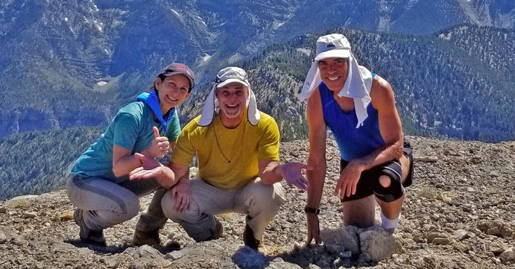
The 4-Peak Mt. Charleston Wilderness Circuit adventure outside of Las Vegas, Nevada is between 22 and 24 miles and includes over 6000ft elevation gain. I summited the peaks in the following order: Griffith Peak (11,056ft), Charleston Peak (11,918ft), Lee Peak (11,289ft) and finally, Mummy Mountain (11,528ft). Route details: 22 mi / Approx. 7,713 > 11,918ft; **Some Trail > Mostly Wilderness**Click image or title above for more…
6-Peak Circuit Adventure Spring Mountains Nevada
The 28-mile-long 6-peak circuit adventure in the Mt. Charleston Wilderness includes Harris Mountain (10,014ft), Griffith Peak (11,056ft), Charleston Peak (11,918ft), Lee Peak (11,289ft), Mummy Mountain (11,528ft), Fletcher Peak (10,319ft). In this initial attempt I made 4 out of 6 peaks. Route Details: 30 mi / Approx. 10,000ft Total Elevation Gain; **Some Trails, Some Wilderness** Click image or title above for more…
Six-Peak Circuit in the Spring Mountains, Nevada – Strategy
It is possible to complete a six-peak circuit in the Spring Mountains, Nevada in one day. This adventure is pretty remarkable in that it involves summiting 6 peaks, each over 10,000ft in less than 24 hours! This article covers the strategy that makes the adventure possible. The peaks include: Harris Mountain (10,014ft), Griffith Peak (11,056ft), Charleston Peak (11,918ft), Lee Peak (11,289ft), Mummy Mountain (11,528ft), Fletcher Peak (10,319ft), Click image or title above for more…
Mummy Mountain West with Glenn Hall & Shoshi Hall | Mt Charleston Wilderness | Spring Mountains, Nevada
We’re fortunate today to have as our guests Glenn and Shoshi Hall, advanced sports therapists and instructors, while ascending Mummy Mountain from the West. We’re fortunate today to have as our guests Glenn and Shoshi Hall, advanced sports therapists and instructors. Throughout this adventure Glenn and Shoshi will be offering their wisdom on preparing the body for and engaging in mountain adventure activity. The video on this page is packed with their sports conditioning and movement technique tips. Route details: 16 mi / Approx. 8,439 > 11,530ft; **Some Trail, Some Wilderness* Click image or title above for more…
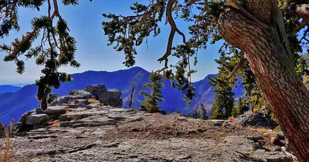
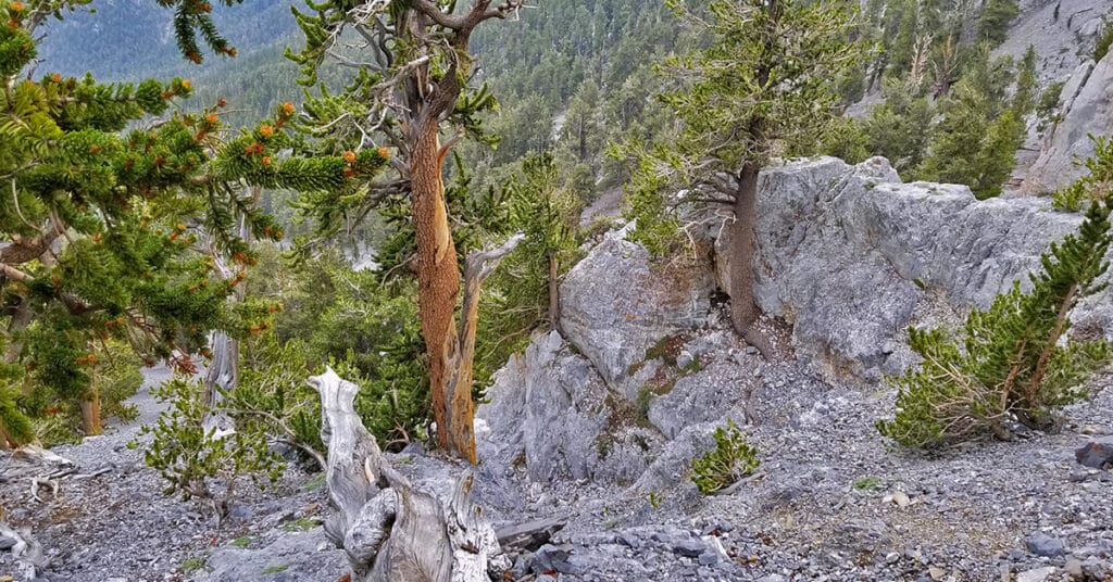
Mummy Mountain NW Cliffs | Mt Charleston Wilderness | Spring Mountains, Nevada
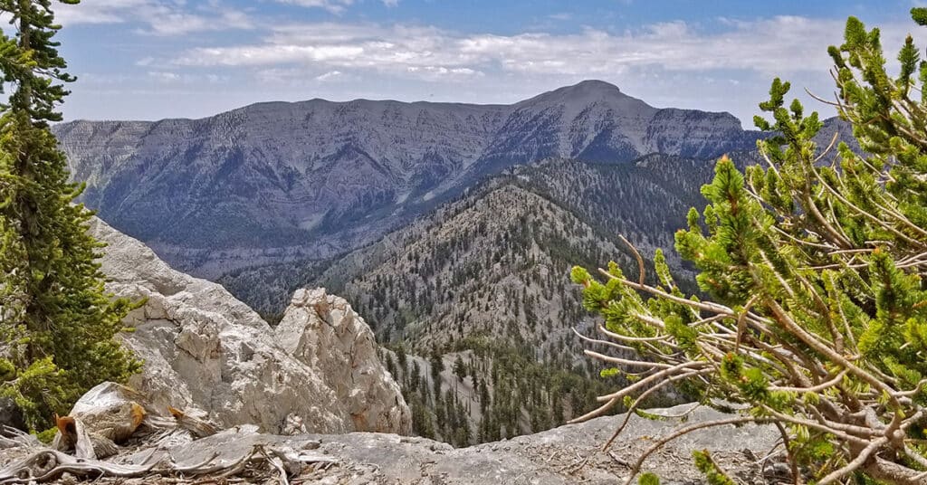
With its spacious wide-open atmosphere and its majestic bristlecone pine forests, Mummy Mountain is the most beautiful summit in the Mt. Charleston Wilderness. But the cliffs just below the summit have their own pristine beauty. They are largely untouched and unvisited, offering peaceful solitude, spectacular views and huge unique ancient bristlecone pine trees seemingly growing out of the tall cliffs. Route details: 14 mi / Approx. 7,800 > 11,250ft; **Some Trail > Some Wilderness** Click image or title above for more…
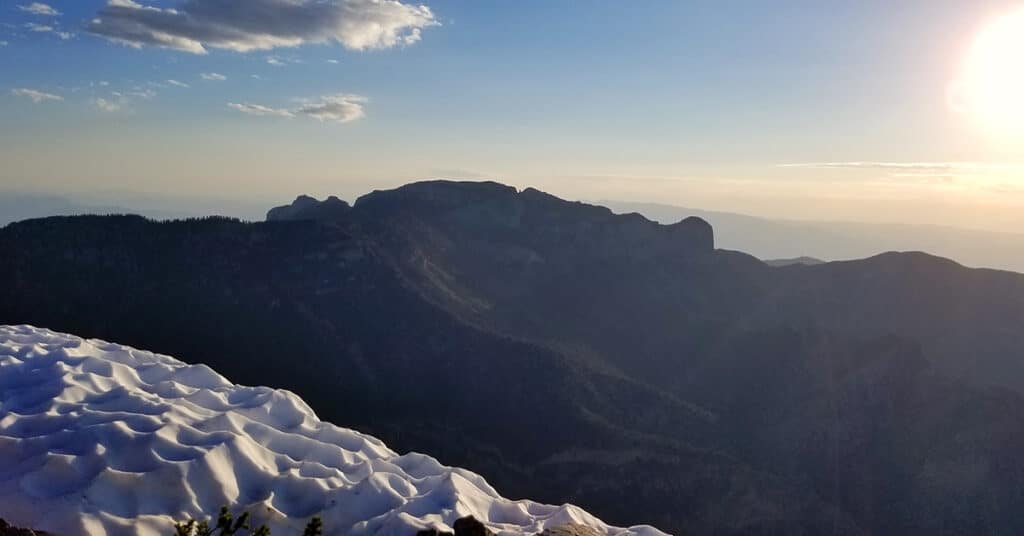
Mummy Mountain Western Approach | Mt. Charleston Wilderness | Spring Mountains, Nevada
Mummy Mountain, at 11,528 feet, is the second highest peak in the Spring Mountains, just 390ft short of Mt. Charleston, the highest, 11,918ft. This is the traditional popular route to the summit. However, when it comes to sheer massiveness, Mummy Mountain surpasses Mt. Charleston with a summit an entire half mile in length and wider than a football field. In terms of beauty Mummy Mountain again surpasses the barren Mt. Charleston with a landscape of ancient living bristlecone pine trees and sculpted, sun bleached bristlecone pine wood. Route details: 16 mi / Approx. 8,439 > 11,530ft;**Some Trail, Some Wilderness** Click image or title above for more…
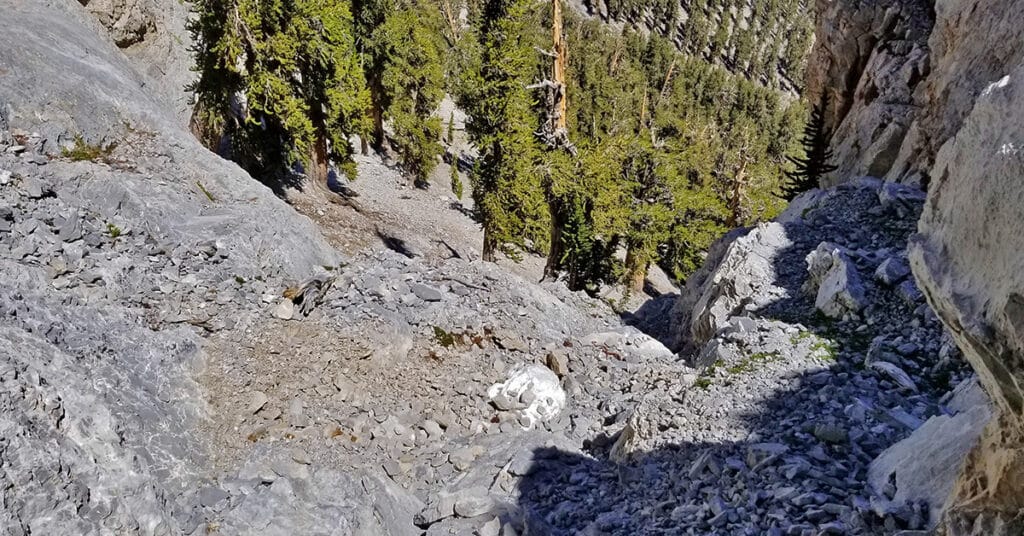
Mummy Mountain NE Cliffs Descent | Mt Charleston Wilderness | Spring Mountains, Nevada
The views along the way down are incredible (as long as you remain firmly on your feet)! The combination of gray and bronze cliff faces on either side of the chute with ancient bristlecone pine trees amazingly growing out of the solid rock, along with views of Mummy’s Toes, Fletcher Peak, the La Madre Mountains, Angel Peak and other landmarks make this a magical spot…. Route details: 16 mi / Approx. 7,800 > 11,530ft; **Some Trail > Some Wilderness** Click image or title above for more…