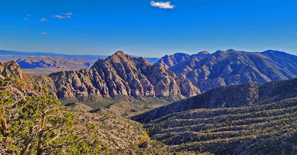
04 Mid Upper Crest Ridgeline | Rainbow Mountain Wilderness, Nevada
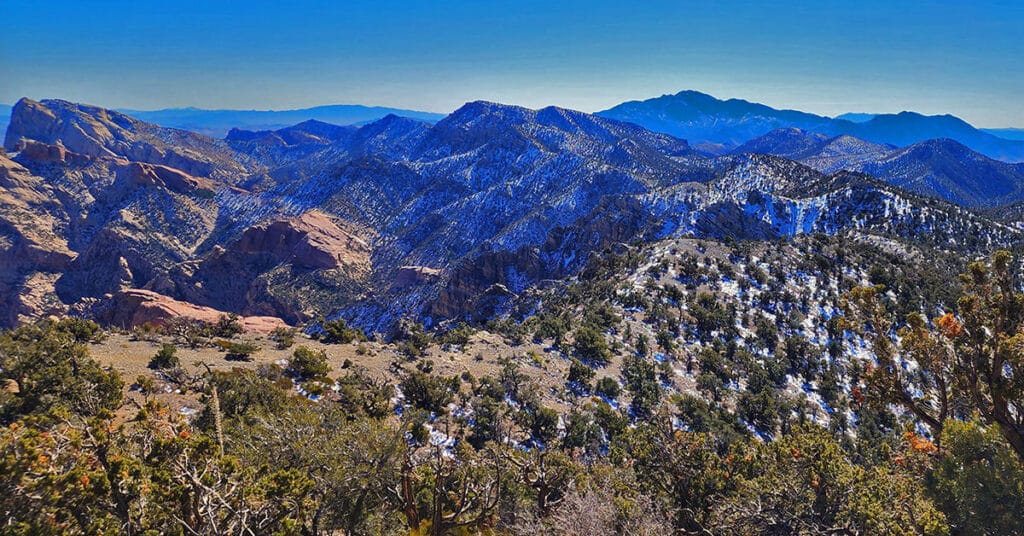
Experience the Rainbow Mountains Mid Upper Crest Ridgeline from just South of North Peak to Rainbow Mountain. Pictures, video, detailed description. This adventure begins at Willow Spring in Red Rock Canyon, ascends Rocky Gap Road to the Bridge Mountain/North Peak Trailhead then ascends to the ridgeline, turns South taking the Bridge Mountain Trail. Finally, leave the Bridge Mountain Trail to continue South along the Upper Crest Ridgeline. Click image or title above for more…
02 North Upper Crest Ridgeline | Rainbow Mountain Wilderness, Nevada
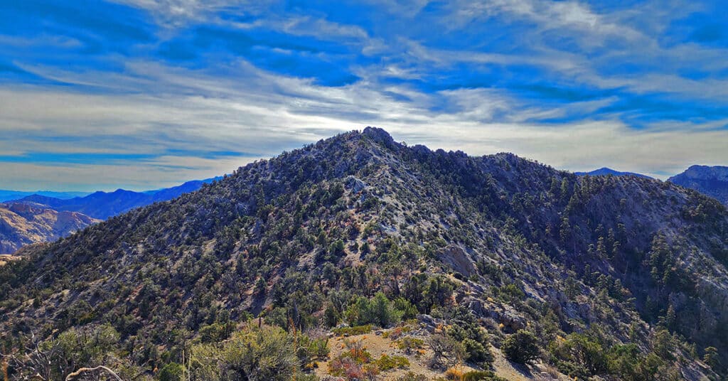
Traverse the Northern Upper Crest Ridgeline between Willow Spring in Red Rock Canyon NCA and North Peak in the Rainbow Mountain Wilderness, Nevada. This ridgeline runs parallel just above to the West of the Rainbow Mountains bordering the West side of Red Rock Canyon. Discover the unmarked trail that takes you all the way. Return by Rock Gap Road.
Turtlehead Peak with a Twist | Red Rock Canyon National Conservation Area, Nevada
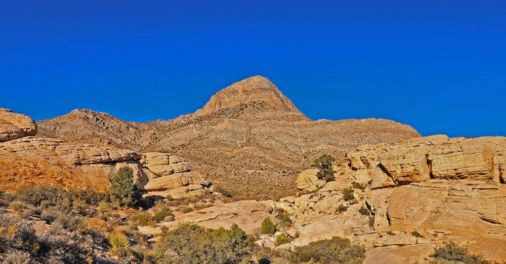
View detailed directions and a video for hiking from the Sandstone Quarry parking area in Red Rock Canyon, NCA to the summit of Turtlehead Peak, along with tips. Also find directions for a cool alternate route to the summit. The alternate route is why this is called Turtlehead Peak with a “Twist”.
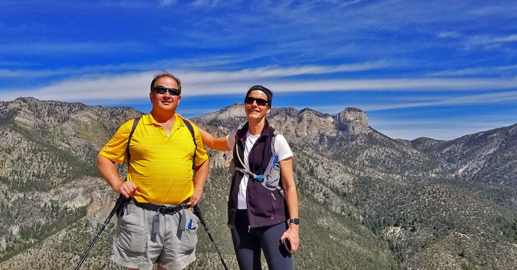
Calico Tanks | Red Rock Canyon National Conservation Area, Nevada
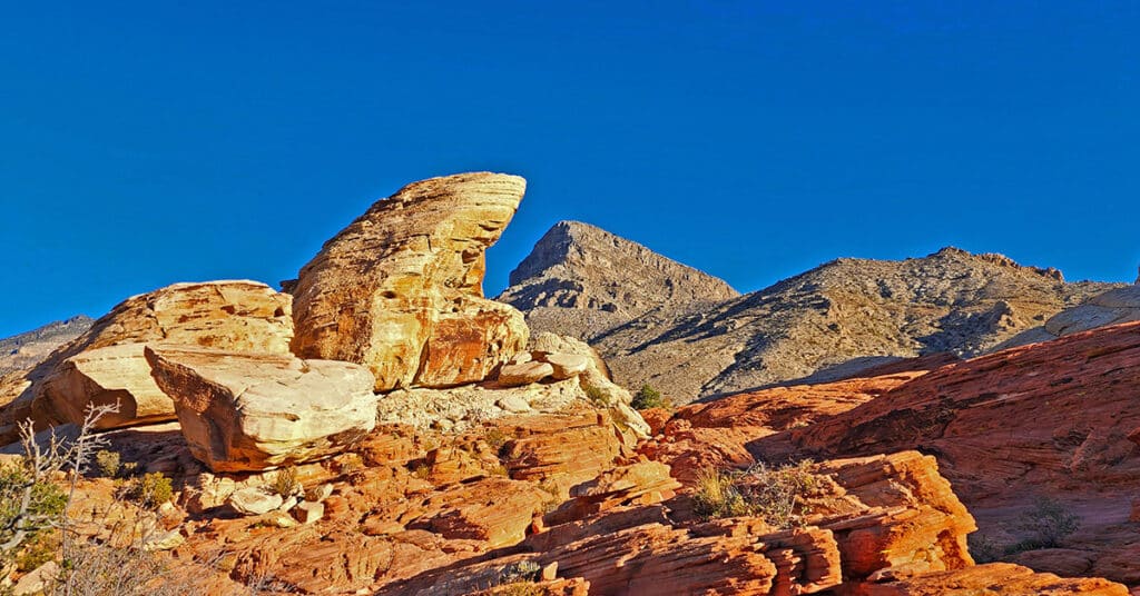
View detailed directions and a video for this artistically beautiful 5mi out and back hike to a large pond surrounded by sandstone cliffs and a spectacular viewpoint at the trail summit.
Keystone Thrust Summit from Willow Spring | Red Rock Canyon, Nevada
Summit the Keystone Thrust from Willow Spring in Red Rock Canyon National Conservation Area. Touch Two Additional Wilderness Areas: Rainbow Mountain Wilderness and La Madre Mountains Wilderness. Route goes along the North side of White Rock Mountain, up to La Madre Spring, past Miner’s Cabin and on to Keystone Thrust summit.
02 Valley of Fire State Park Nevada, Visitor Center
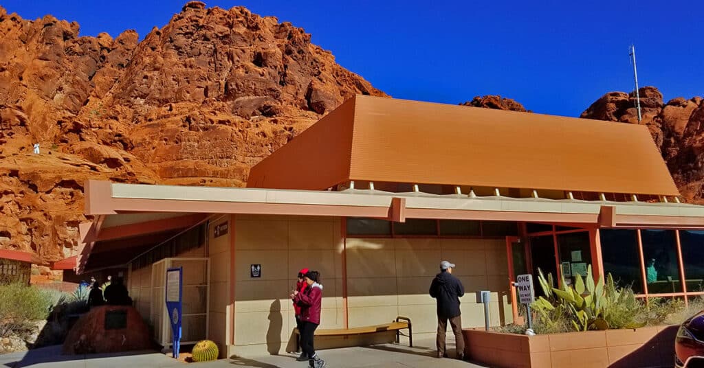
Get an inside look at a few of the amazing interpretive displays in the Valley of Fire State Park Visitor Center. Learn about the colorful ancient history — human and geological — of Nevada’s first state park.
Hollow Rock Peak | Rainbow Mountain Wilderness, Nevada
Hollow Rock Peak is the second to the Southernmost peak in the Rainbow Mountains with South Peak just beyond. It’s a great 5-mile round trip and offers climbing levels from class 2-3 to class 5, depending on the route you choose (see below). And the calico boulders, pinnacles, cliffs, ledges and scattered bonsai-like bushes and trees make this an adventure of wonder. Spectacular views include the Las Vegas Valley and Strip, Frenchman Mountain, Muddy Mountains, Virgin Mountains (dim, distant), Gass Peak, the Sheep Range, Blue Diamond Mountain, portions of Red Rock Canyon, Calico Basin and La Madre Mountains, Mt. Charleston Wilderness, Lovell Canyon Area, Potosi Mountain, Lake Mojave (or Havasu?), and too many additional points of interest to mention here. Route details: 5 mi RT/ 5,470ft > 5,960ft; Mostly Good Trails, Some Class 3 Climbing. Best time of year for this adventure: Spring or Fall. Click image or title above for more…
Kyle Canyon Grand Crossing Southern Half | Red Rock Canyon NCA, Nevada
This is the Southern half of the Kyle Canyon Grand Crossing from the intersection of Kyle Canyon and Harris Springs Roads in Kyle Canyon, up over the Keystone Thrust and down to the base of White Rock Mountain in Red Rock Canyon National Conservation Area. The entire Kyle Canyon Grand Crossing gives an experience of the La Madre Mountains Wilderness and Red Rock Canyon. In addition, there are views of the Sheep Range, Gass Peak, Mt. Charleston Wilderness, Rainbow Mountains Wilderness, Las Vegas Valley including the Strip and many points beyond. But this Southern portion of the route included what can be seen from the Keystone Thrust in Red Rock Canyon. Route details: 10-15 miles RT; **Some trails, mostly wilderness** Click image or title above for more…
Anniversary Ridge | Muddy Mountains Wilderness, Nevada

Anniversary Ridge, the highest overlook point in its area on the Eastern border of the Muddy Mountains Wilderness, offers a spectacular aerial view of the Bowl of Fire, almost immediately below, and views all the way to Lake Mead. Ascending Anniversary Ridge involves a rather involved unmarked approach route and finally, traversing a very narrow ridge with dramatic drop-offs on either side. Route details: 10 mi RT; **Some Trail, Some Wilderness** Click image or title above for more…
Hiking with Dogs | Mt Charleston Wilderness | Spring Mountains, Nevada
Two dog experts, Pug Society rescue owners and avid hikers give their best wisdom and tips for hiking with dogs. Click image or title above for more…