La Madre East Ridge Approaches | La Madre Mountains Wilderness, Nevada
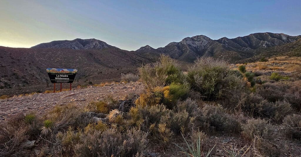
Explore Northern Approaches to the Magnificent, Pristine La Madre Mountains Eastern Ridgeline in Nevada. Click the image or title above for details.
Kyle Canyon Grand Crossing Southern Half | Red Rock Canyon NCA, Nevada
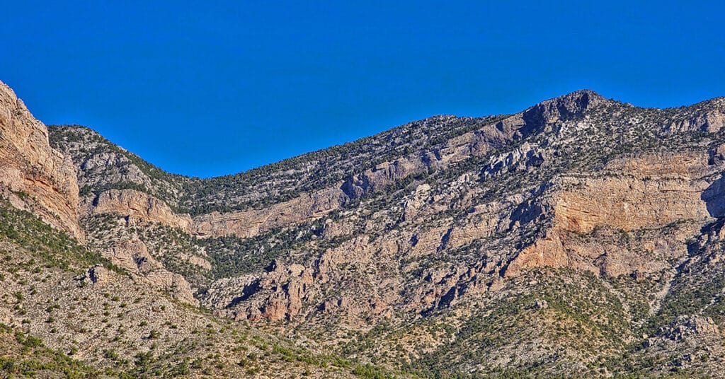
This is the Southern half of the Kyle Canyon Grand Crossing from the intersection of Kyle Canyon and Harris Springs Roads in Kyle Canyon, up over the Keystone Thrust and down to the base of White Rock Mountain in Red Rock Canyon National Conservation Area. The entire Kyle Canyon Grand Crossing gives an experience of the La Madre Mountains Wilderness and Red Rock Canyon. In addition, there are views of the Sheep Range, Gass Peak, Mt. Charleston Wilderness, Rainbow Mountains Wilderness, Las Vegas Valley including the Strip and many points beyond. But this Southern portion of the route included what can be seen from the Keystone Thrust in Red Rock Canyon. Route details: 10-15 miles RT; **Some trails, mostly wilderness** Click image or title above for more…
Kyle Canyon Grand Crossing Northern Half | La Madre Mountains Wilderness, Nevada
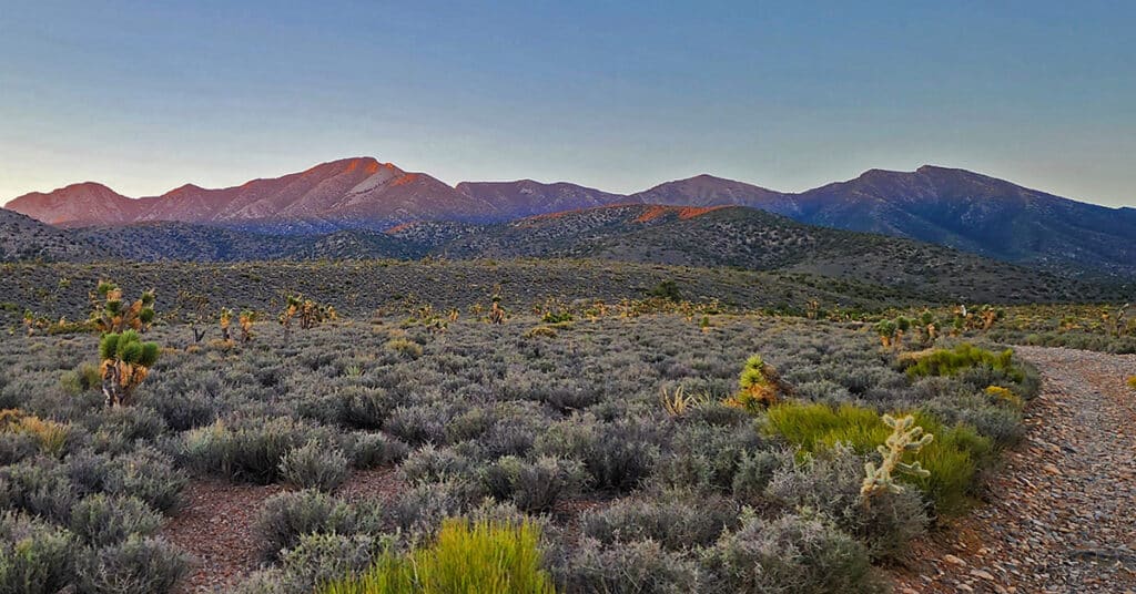
The Kyle Canyon Grand Crossing North is the Northern half of the larger Kyle Canyon Grand Crossing which begins at the intersection of Kyle Canyon and Harris Springs Roads, ascends to the El Bastardo Mountain area on the Keystone Thrust above Red Rock Canyon, then descends to Red Springs Desert Oasis in the Calico Basin. This Northern half of the adventure takes you to the saddle between Burnt Peak and El Bastardo Mountain on the Keystone Thrust Ridgeline, looks down to Red Rock Park and contemplates various routes into the park below before returning to the starting point on Kyle Canyon Road. Highlights include a walk though the beautiful La Madre Mountains Wilderness camping, navigating numerous rocky plateaus through the wilderness up the Burnt Peak approach ridge, exploring a section of the upper Keystone Thrust and seeing spectacular 360-degree views all along the route. Route details: 20 Miles + RT / 4500-7900ft; *Some Road, Mostly Wilderness* Click image or title above for more…
Keystone Thrust Summit from Willow Spring | Red Rock Canyon, Nevada
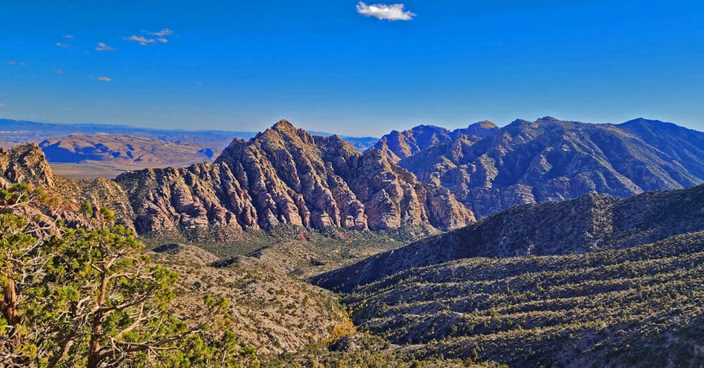
Summit the Keystone Thrust from Willow Spring in Red Rock Canyon National Conservation Area. Touch Two Additional Wilderness Areas: Rainbow Mountain Wilderness and La Madre Mountains Wilderness. Route goes along the North side of White Rock Mountain, up to La Madre Spring, past Miner’s Cabin and on to Keystone Thrust summit.
Harris Springs Canyon Ridgeline | La Madre Mountains Wilderness, Nevada

Harris Springs Canyon Ridgeline is right on the edge of the Las Vegas Metro Area making this an awesome convenient location for hiking, mountain biking, climbing and wilderness exploration. It’s like a remote wilderness experience at the edge of Las Vegas, and the views are spectacular! Click the image or title above for details.
Harris Mountain from Lovell Canyon | La Madre Mountains Wilderness | Spring Mountains, Nevada
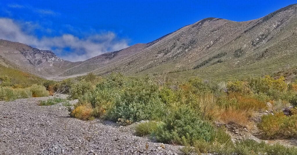
Harris Mountain from Lovell Canyon is a challenging long distance adventure with an elevation gain of over 4,000ft. However, the elevation gain and the distance are not the main challenge. The greatest difficulty factor is the terrain covered which includes a 5-mile rocky canyon wash, navigating brush and burned out fallen trees and at least 2 miles of steep avalanche slopes – all with no trails.
However, even given these difficulties the rewards are great including:
*A unique high altitude perspective of Lovell Canyon from its East side
*Total peace and solitude – the experience of having a major canyon all to yourself
*Views of the entire expanse of Lovell Canyon all the way to Potosi Mountain, Griffith Peak, Sexton Ridge and the Lovell Canyon, Handy Peak, Griffith Shadow Loop trails area.
Griffith Peak Southern Approach from Sexton Ridge Above Lovell Canyon, Nevada
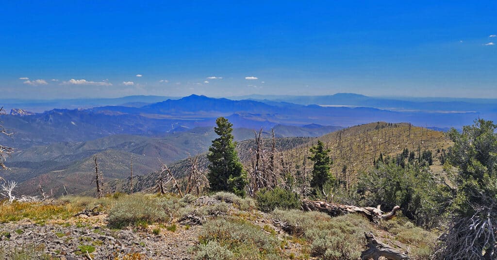
Sexton Ridge is a 5-7 mile ridge South of Griffith Peak beginning at about 8,400ft and leading to the 11,060ft summit of Griffith Peak. However, it requires an additional 2,500ft ascent to get to the beginning of Sexton Ridge! The entire ridge including its access point from the summit of the Griffith Shadow Loop in Lovell Canyon is pure wilderness with some major brush navigation at points. Otherwise, this is a class 2 level climbing/scrambling experience. The views along the entire route are spectacular including Lovell Canyon, Griffith Peak, Harris Mountain and the saddle between, Potosi Mountain, Gass Peak, the Sheep Range, Las Vegas Valley and beyond, the Nopah Range, Telescope Peak, Mummy Mountain, Fletcher Peak, Lee Peak, Charleston Peak and too many more incredible points of reference to mention here! This could be a grand 2-day adventure with incredible nighttime views. Route details: 25 mi / 5000-11,060ft; *Some Trail, Mostly Wilderness* Click image or title above for more…
Griffith Peak South Approach from Lovell Canyon | Spring Mountains, Nevada
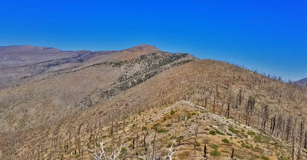
Overview at least 3 approaches to Griffith Peak summit from the Lovell Canyon Trail Trailhead. This approach to the summit will be longer than the traditional Kyle Canyon approach, with 2000ft more elevation gain, but the view is wide open all the way to Griffith Peak summit and the terrain snow-free for an additional month both earlier and later in the season! With this approach route you could be the first and last person to summit Griffith Peak this year. Click image or title above for more…
Gray Cap Ridge Southeast Summit | La Madre Mountains Wilderness, Nevada
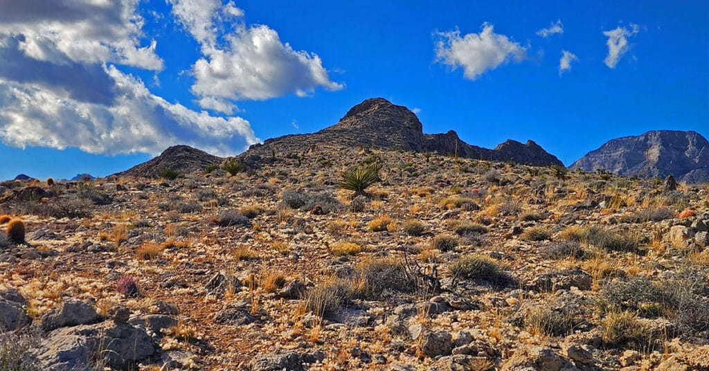
Gray Cap Ridge Southeast Summit in Nevada is an easy hike with spectacular views. Trails get you nearly to the summit. Hike begins at Gene’s Trailhead in the Calico Basin and navigates to the summit in the La Madre Mountains Wilderness. Best time of year for this adventure is Spring or Fall. Click the image or title above for more details.
Gray Cap Ridge Brownstone Basin Loop | La Madre Mountains Wilderness, Nevada
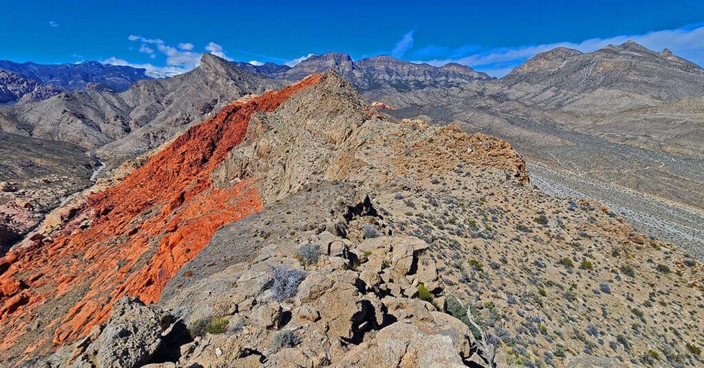
Beginning at Gene’s Trailhead in the Calico Basin, traverse most of Gray Cap Ridgeline from the SE Summit, then return to the Calico Basin by way of the Brownstone Trail and Road. Best time of year for this adventure is Spring or Fall. Click the image or title above for all the details.
