Northern Bowl of Fire | Lake Mead National Recreation Area, Nevada
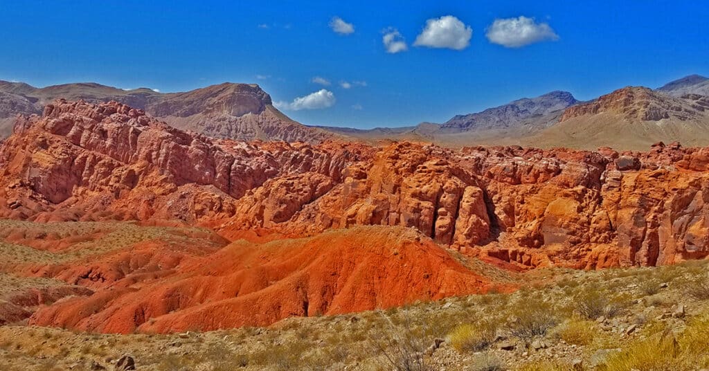
The Northern Bowl of Fire is a massive Aztec red rock cliff system rivaling any other red rock formation in Nevada. The red rock is composed of frozen sand dunes from the Jurassic era, and the red coloring is caused by iron that leached up through the sand before it solidified into rock. The route I describe here offers spectacular 360 degree views of the Overton Arm of Lake Mead, the Hamblin Mountain area, portions of Lake Mead, the Southern Bowl of Fire, Anniversary Ridge, and the Muddy Mountains. Route details: 8mi RT | 1,887 > 2,568ft; ** Some Trail, Mostly Wilderness** Click image or title above for more…
Northern Bowl of Fire | Detailed View of Sandstone Sculptures and Life | Lake Mead National Recreation Area, Nevada
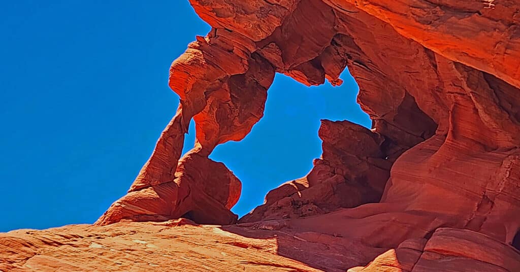
From rattlesnakes to lizards to blooming cacti and unique, beautiful sandstone sculptures, explore the Northern Bowl of Fire as you may have never before seen it! Learn how to get there and understand the geology behind what you see. There’s a cool tip on how to lower your body temperature by 10 degrees or more on a blazing hot desert day. Click the image or title above for more detail.
North River Bend View | Hoover Dam Area | Lake Mead NRA, Arizona

Hike to the best aerial view of Lake Mead’s Southern tip at Hoover Dam. Click the image or title above for details.
North Lonesome Peak | Eldorado Wilderness, Nevada

North Lonesome Peak is a great introductory adventure that will give you a good sampling of the Eldorado Wilderness. This peak, actually unnamed, is the Northern sister of the 400ft-higher, larger Lonesome Peak, separated by a high saddle with a spectacular view toward the Colorado River Basin and points far beyond. You could, instead, just top the closer Lonesome Peak, but North Lonesome Peak will give you a more extensive education in navigating the Eldorado Wilderness. Click the image or title above for details.
Mt. Wilson Summit | Lake Mead National Recreation Area, Arizona
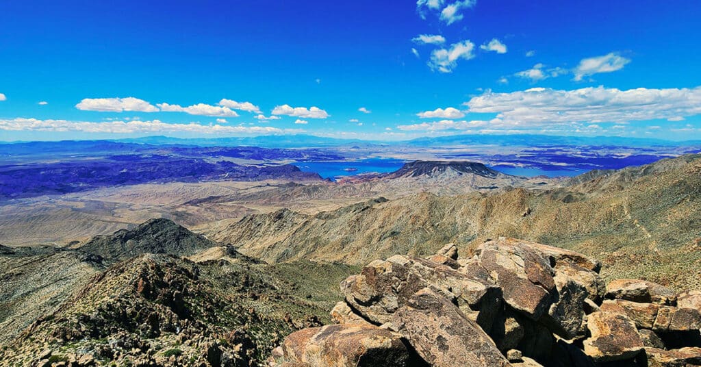
This stand-alone mountain has a spectacular 360-degree view with Mt. Charleston Wilderness to the Northwest, the Sheep Range to the North, Virgin Mountains to the Northeast, Grand Canyon area to the East , Colorado River & Black Mountains to the South. Discover how to reach this incredible summit! Click the image or title above for details.
Mt. Wilson | Black Mountains, Arizona | Adjacent to Lake Mead National Recreation Area
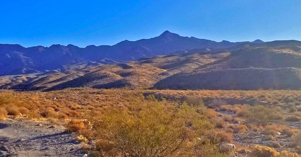
Mt. Wilson is a distinctive high point in the Black Mountains and offers incredible 360 degree views of the surrounding wilderness including Lake Mead, Potosi Mountain, the Rainbow Mountains, La Madre Mountains Wilderness, Mt Charleston Wilderness, Gass Peak, the Sheep Range, Frenchman Mountain, Fortification Hill, the Hoover Dam area and points further East. The adventure begins at the Arizona Hot Springs trailhead on Arizona Highway 93, 4 miles South of the Nevada/Arizona border. Route details: 16mi RT | 1,536 > 5,446ft; **Some Road, Mostly Wilderness; Click image or title above for more…
Leaning Arch Loop | River Mountains | Lake Mead NRA, Nevada
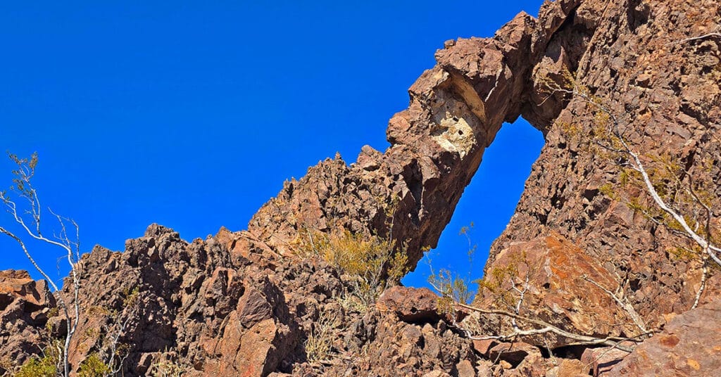
This challenging 5-mile volcanic terrain adventure has a remarkable destination point! It’s a huge vertical arch you can easily stand under for an awesome framed photo. Click the image or title above for details.
Lava Butte | Volcanic Cone Between Las Vegas and Lake Mead, Nevada
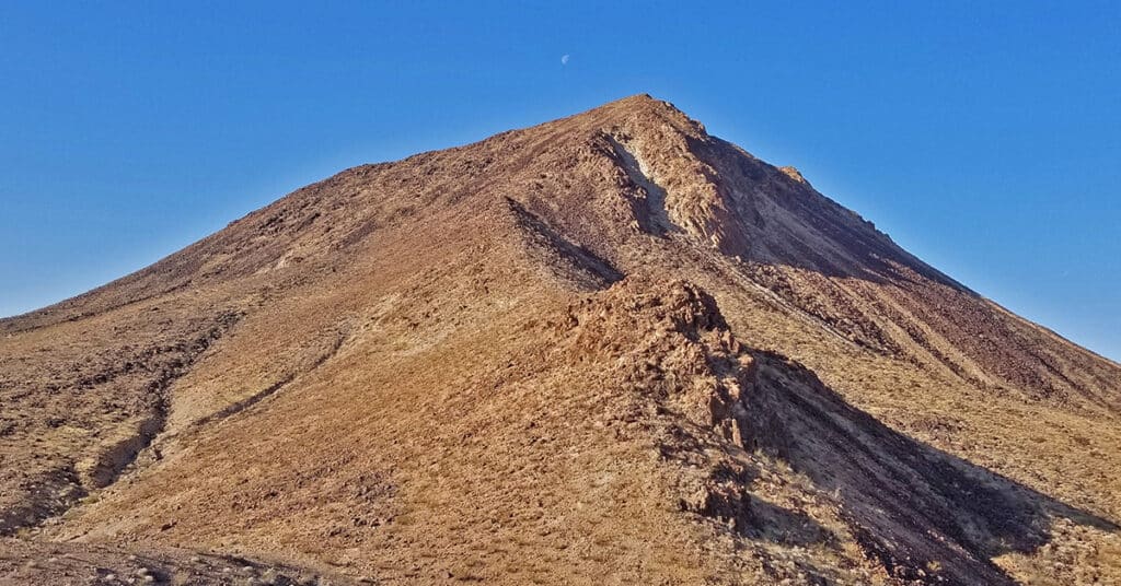
Lava Butte is a distinctive stand-alone volcanic cone below Frenchman Mountain and to the East. It can be seen from many high points in and around the Lake Mead National Recreation Area including Fortification Hill, Mt. Wilson, Frenchman Mountain and others. It’s a fun, challenging climb to go up one side and down the other, weaving around huge volcanic boulders. Route description: 7mi | 1,835 > 2,871ft; ** Service Road / Lava Ridge** Click image or title above for more…
Kingman Wash Access Road | Lake Mead National Recreation Area, Arizona
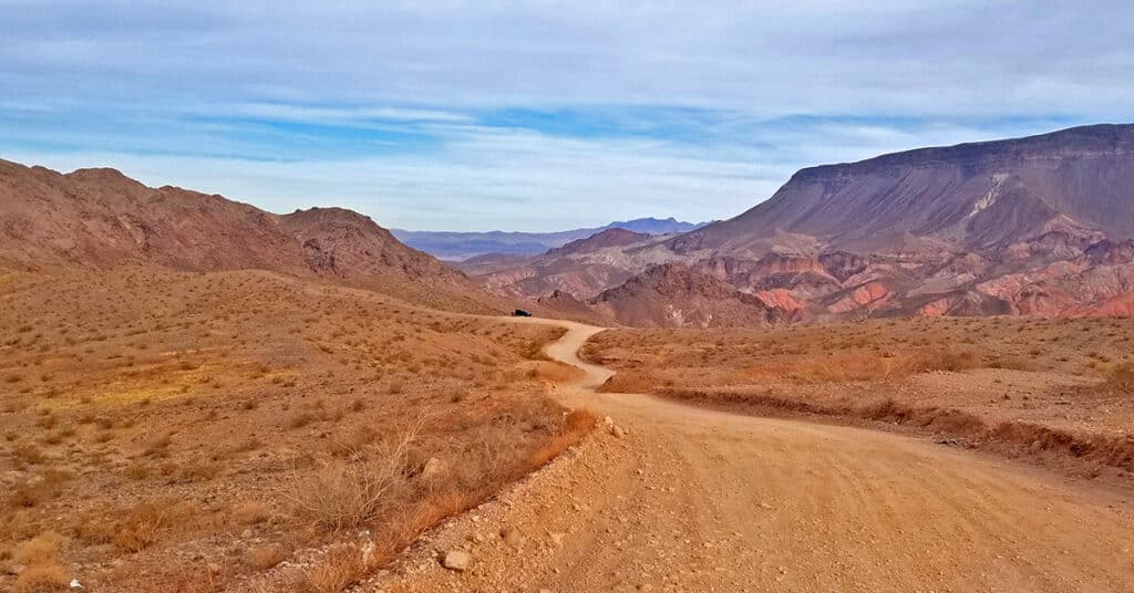
This section of Kingman Wash Access Road is about 4 miles in length. It’s an unpaved road that leads down to the shore of Lake Mead at Temple Bar Marina where there is boating, fishing and hiking. I traveled it by mountain bike. There are 3 additional unpaved roads splitting off to the right. The first is South Mine Access Road; second is North Mine Access Road which later connects with South Mine Access Road and continues on as South Mine Access Road. The third road splitting off from Kingman Wash Road near its end and to the right of a restroom structure is the unpaved Fortification Hill Road which leads to Fortification Hill Trailhead. Route Details: 7 Miles | 1,197 > 1,465; ** Good Unpaved Road** Click image or title above for more…
Horse Thief Canyon Loop | Mt. Wilson | Black Mountains | Lake Mead National Recreation Area, Arizona
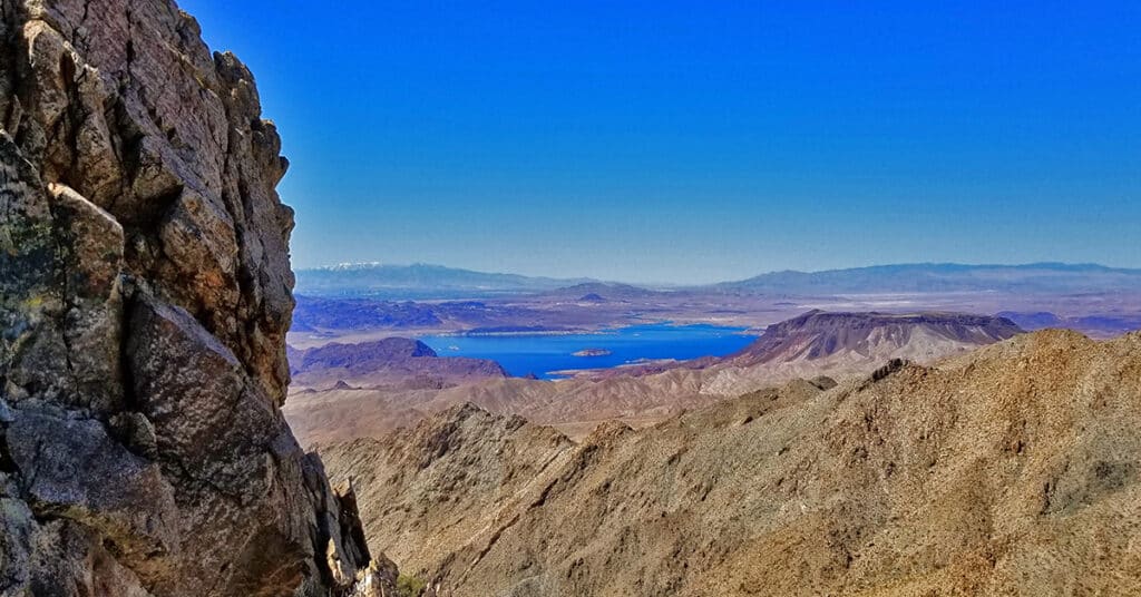
This adventure has got to win an award for variety of terrain including 6 miles of unpaved roads, traversing a few miles up the entire length of a rugged mountain canyon with beautiful springs, an 800 foot scramble up the avalanche slope side of the canyon, a short class 3 rock climb and a descent down a 2-mile ridge with incredible views of Lake Mead, Potosi Mountain, the Rainbow Mountains, La Madre Mountains Wilderness, Mt Charleston Wilderness, Gass Peak, the Sheep Range, Frenchman Mountain, Fortification Hill, the Hoover Dam area, and additional points to the South and to the East. Route Details: 16mi | 1,536 > 5,446ft; ** Some Road, Mostly Wilderness** Click image or title above for more…
