Grand Circle | Calico Basin | Red Rock Canyon National Conservation Area, Nevada
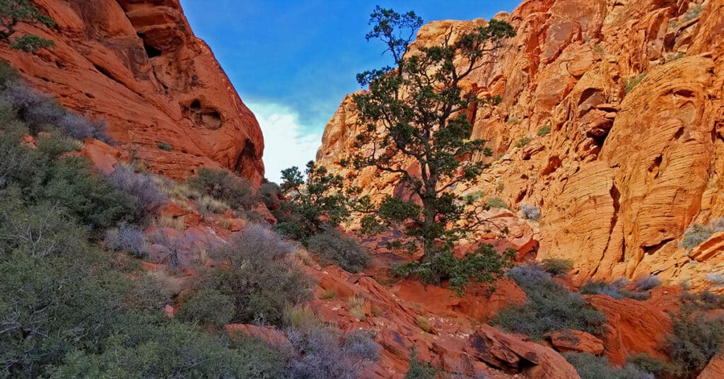
The Calico Hills form a boarder between lower Red Rock Canyon and lower Calico Basin in Nevada. The Calico Hills form a boarder between lower Red Rock Canyon and lower Calico Basin in Nevada. The Lower Calico Hills Loop follows a 5-mile series of 4 trails around the circumference of the Calico Hills. The Calico Hills are composed of ancient Jurassic Era sand dunes that have been frozen into an artistic display of fantastic shapes, colors and designs. From a distance the Calico Hills are dwarfed by the larger surrounding formations. However looks are very deceiving as the closer you get these formations become huge with 30-40ft sheer drop-offs. Route description: 5mi Loop Circles Calico Hills; *Fairly Good Trail, Sketchy in Places – Some Steep Rocky Stretches* Click image or title above for more…
Fossil Canyon | Cowboy Canyon | Blue Diamond Hill, Nevada
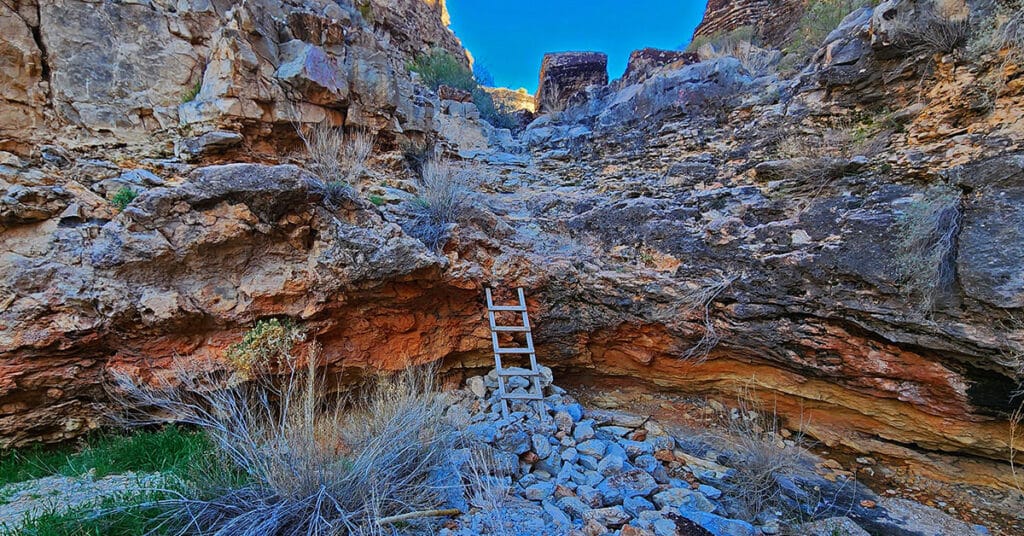
Experience two huge, wild canyons in Blue Diamond Hill just outside of Las Vegas, Nevada. Navigate the full length of these canyons through trails and stretches of pathless wilderness. Discover ancient fossils and enjoy spectacular views of Red Rock Canyon and the Rainbow Mountains framed by towering cliff walls. Best time of year for this adventure: Fall through Spring. Click the image or title above for more details.
Fire Ecology Trail | Red Rock Canyon NCA, Nevada
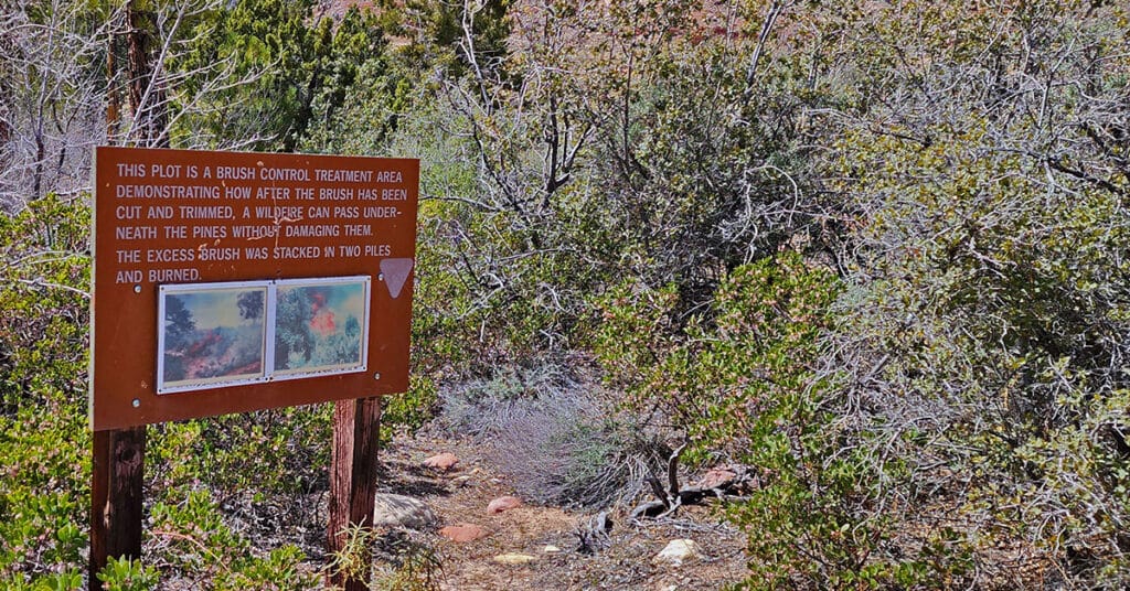
The .2-mile Fire Ecology interpretive trail in Pine Creek Canyon, Red Rock Canyon NCA, Nevada, was a controlled burn conducted in 1992 to determine how canyon forests could be managed to protect older pine trees from being consumed by brush fire. Following a brush management strategy aimed at controlling excess brush fuel on the forest floor, a controlled burn was conducted that successfully passed underneath the pines without damaging them. Today visitors can walk this interpretive trail and picnic at a table near the edge of Pine Creek. The best time of year to hike this trail is mid-Fall through mid-Spring. Summer temperatures can exceed 110 degrees. Learn more by clicking the image or title above.
Far North Upper Crest Ridgeline | Rainbow Mountain Wilderness, Nevada
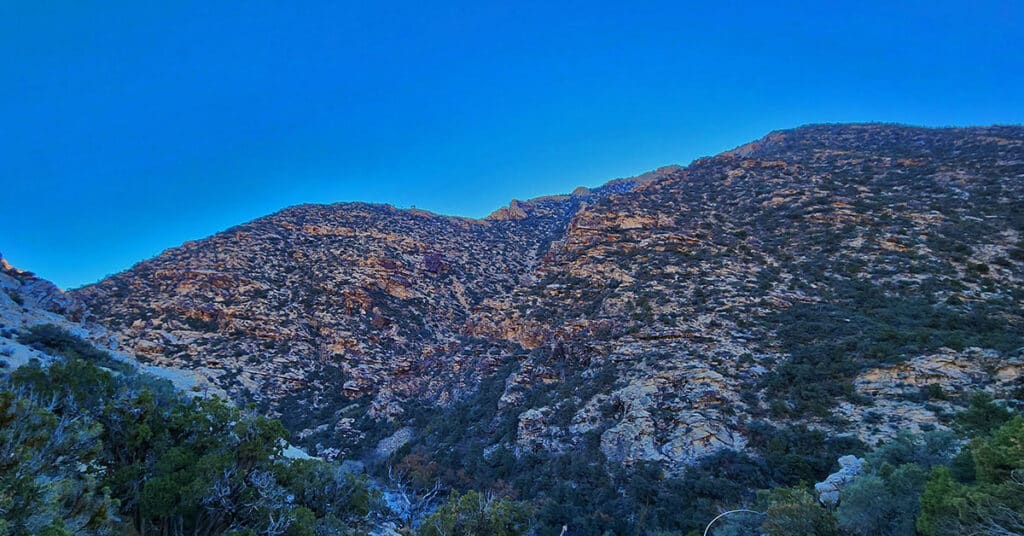
This is a circuit composed of the Northernmost 3 miles of the Rainbow Mountains Upper Crest Ridgeline. The circuit begins at the Willow Spring Area of Red Rock Canyon National Conservation Area, Nevada. From there, ascent the ridge from its Northernmost point, head South, then return to Willow Spring via Rocky Gap Road.
Eastern Outer Circuit | Blue Diamond Hill, Nevada
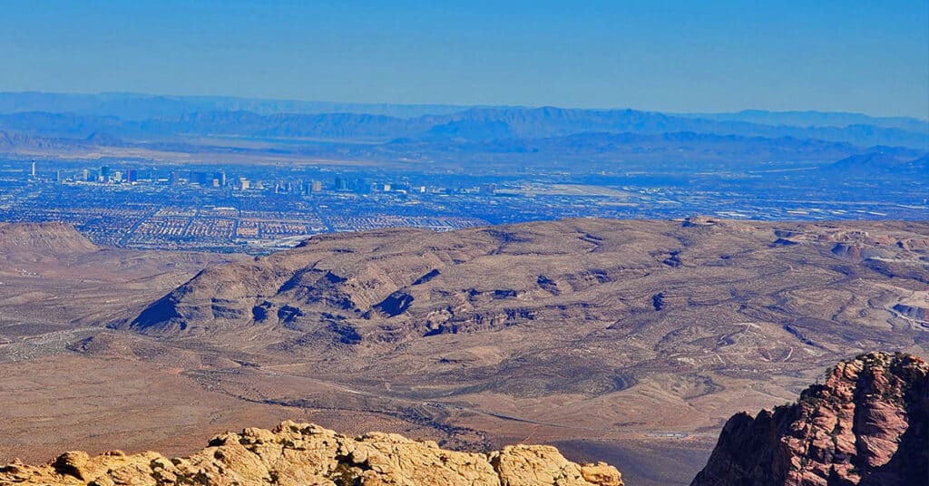
Blue Diamond Hill, on the South end of Red Rock Canyon in Nevada has a great network of multi-use trails including hiking, running, mountain biking and equestrian. We make a wide Eastern outer circuit of the trail system as an initial introduction. The spectacular 360-degree views from Blue Diamond Hill include Red Rock Canyon, the La Madre Mountains, Rainbow Mountains, Las Vegas Valley and much more! Click the image to view this adventure.
Damsel Peak Northern Approach | Red Rock Canyon National Conservation Area, Nevada
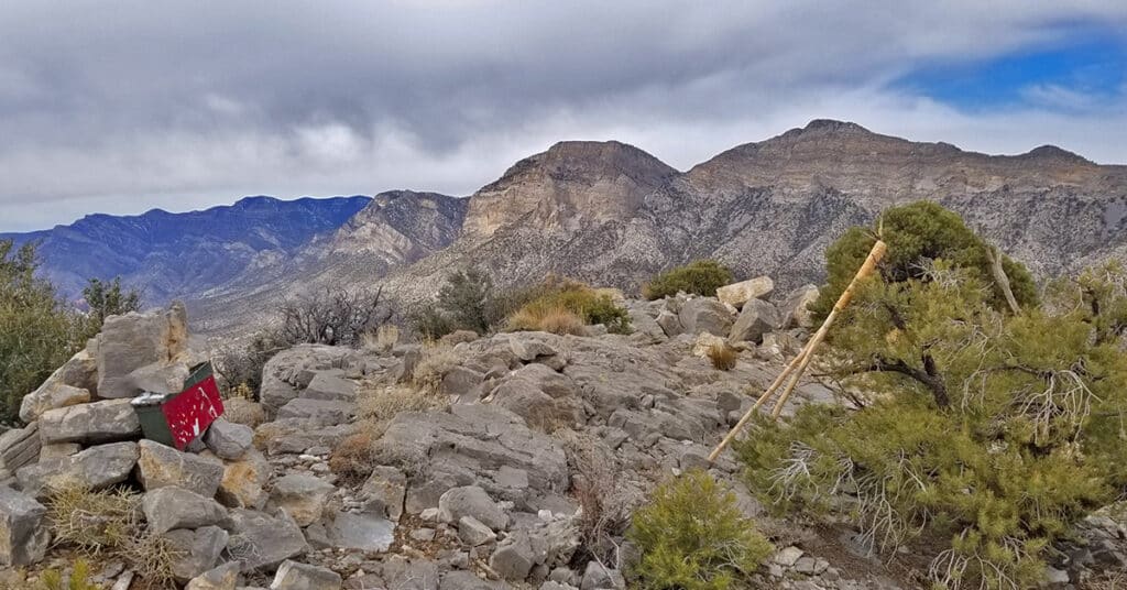
From the top of Damsel Peak outside of Las Vegas, Nevada one can see almost all of the Las Vegas Valley in the same way that Damsel Peak is visible from just about anywhere in Las Vegas Valley. In addition, there is an awesome view of the entire Calico Basin, Turtlehead Peak, the Calico Hills, Mt. Wilson, Rainbow Mountain, Juniper Peak, North Peak and Bridge Mountain and finally the huge expanse of the Keystone Thrust cliffs with La Madre Mountain as the high point. To the North one can see Gass Peak, the Sheep Range and Fossil Ridge. Route details: 16 mi Start Sandstone Quarry Red Rock | 4370 > 6977ft; **Wilderness, No Trail** Click image or title above for more…
Dales Trail | Red Rock Canyon, Nevada
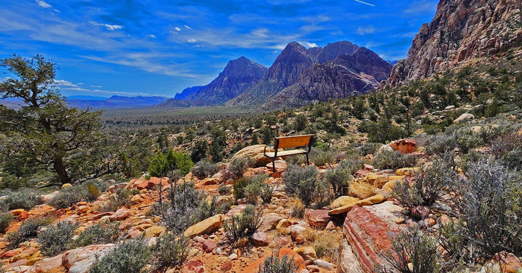
Dales Trail in Red Rock Canyon, Nevada, runs 2.2-miles along the Eastern base of the Rainbow Mountains between Pine Creek Canyon and Ice Box Canyon. At nearly every point along the way there are sweeping views of Red Rock Canyon. The trail skirts the Eastern Base of Bridge Mountain where one can observe potential routes to that hidden forest just below and to the East of Bridge Mountain’s summit block. The best time of year to hike Dales Trail is mid-Fall through mid-Spring. Click the image or title above to learn more…
Canyons & Caves | Blue Diamond Hill | Red Rock Canyon, Nevada
Last Updated on February 21, 2023 by David Smith Red Rock Canyon Keystone Visitor Guide Southern Nevada Conservancy Birding Guide Canyons & Caves | Blue Diamond Hill | Red Rock Canyon, Nevada Red Rock Canyon Website Area Satellite View North Satellite View South Satellite View Adventure Video Will Appear Here Overview | Canyons & Caves […]
Calico Tanks from Guardian Angel Pass | Red Rock Canyon NCA, Nevada

This incredible adventure through an isolated sandstone wilderness runs from the summit of Guardian Angel Pass to the Calico Tanks. The route forms a huge loop of the entire length of the Calico Hills in Red Rock Canyon, Nevada beginning and ending at the Red Spring Desert Oasis in the Calico Basin. Click the image or title above for details.
Calico Tanks | Red Rock Canyon National Conservation Area, Nevada
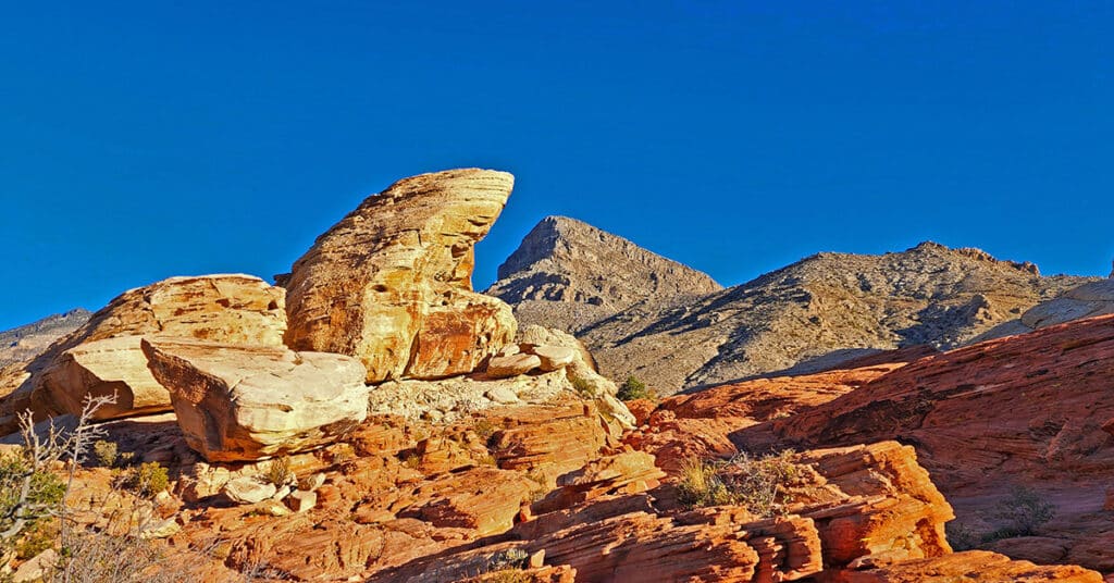
View detailed directions and a video for this artistically beautiful 5mi out and back hike to a large pond surrounded by sandstone cliffs and a spectacular viewpoint at the trail summit.
