Gass Peak Nevada Eastern Summit Ultra Marathon | Desert National Wildlife Refuge, Nevada

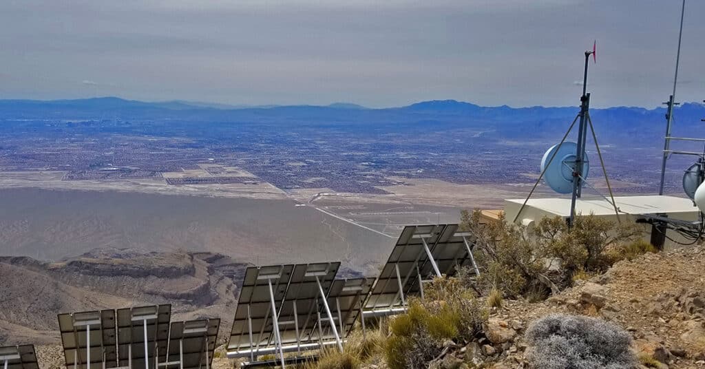
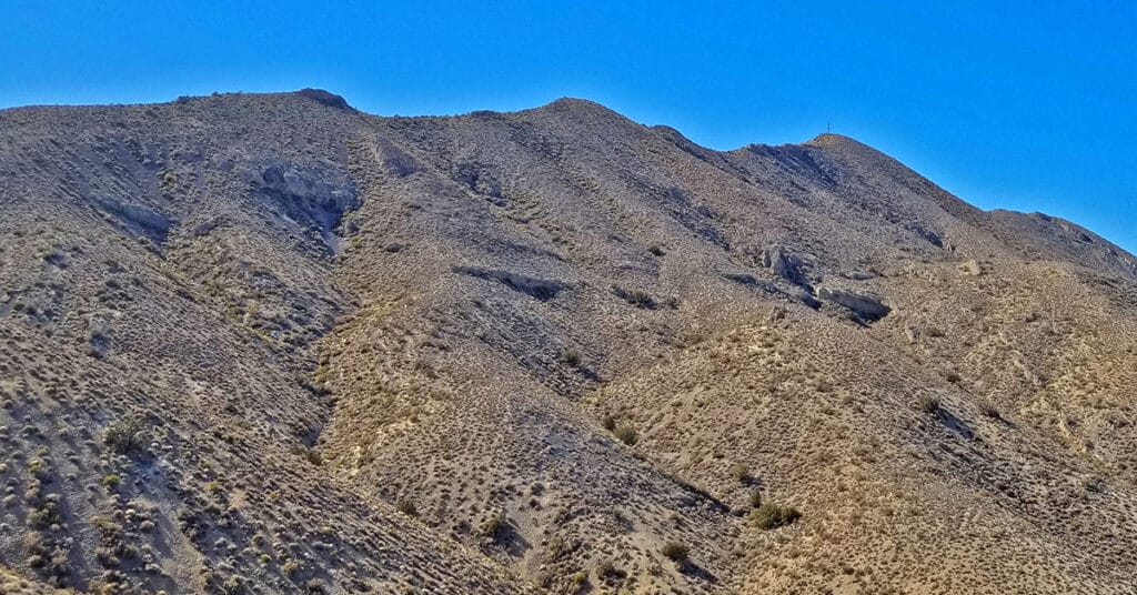
Gass Peak, Nevada Eastern summit at 6943ft is the true summit of Gass Peak. The Eastern summit is about 1000ft higher than the other two summit areas, however each has a unique view, and the most challenging part of the adventure is navigating what I call the “Gass Peak Gauntlet”–the route between the mid-summit and the Eastern summit. The route I take begins at the North end of Rainbow Blvd. in Las Vegas and turns this adventure into a 30-mile ultra-marathon with a 5000ft elevation gain and, if the additional elevation gain and loss on the return trip is taken into account an overall 6000ft elevation gain. To put this into perspective, I can do the 18-mile Mt. Charleston loop in 7.5 hours. On this day it took 13.5 hours to complete the Gass Peak Ultra! Route details: 20 mi RT from Rainbow Ave / Approx. 2,300 > 7,000ft; **Mostly Wilderness** Click image or title above for more…
Gass Peak Grand Crossing | Desert National Wildlife Refuge | North of Las Vegas, Nevada

The Gass Peak Grand Crossing is a 30-40-mile ultra marathon distance on foot on a few roads, but mostly across desert wilderness canyons, ridges and avalanche slopes from the Desert National Wildlife Refuge visitor center off Hwy 95 Corn Creek Rd exit to the North end of Rainbow Avenue in Las Vegas. 6,937ft Gass Peak is the 5000ft elevation gain midway. The route begins at the Desert National Wildlife Refuge headquarters North of Las Vegas Nevada, heads up Mormon Well Road, turns onto Gass Peak Road, ascends the main Gass Peak trail off Gass Peak Road to the true, Eastern summit of Gass Peak, traverses the steep avalanche slope summit ridge of Gass Peak via what I refer to as “The Gass Peak Gauntlet” to the Gass Peak Mid Summit ridge, descends the mid summit ridge to a 4WD road on the lower Northern slopes of Gass Peak, circles around the West side of Gass Peak on that road and finally, navigates the desert to a conclusion at the very North end of Rainbow Avenue in Centennial Hills Las Vegas! Route details: 30-40 Miles, 5000ft Elevation Gain **Few roads and trails, mostly wilderness** Click image or title above for more…
01 Gass Peak Overview | Desert National Wildlife Refuge, Nevada

To stand on Gass Peak, towering 6,000ft above the Las Vegas Strip, is to see a view of Las Vegas not even surpassed by the view you’d experience in an airplane! Here you will see numerous attempts to summit Gass Peak from the North end of Rainbow Avenue in Las Vegas. The attempts eventually succeed, followed by a total circuit of the massive Gass Peak and a grand crossing beginning at the Desert National Wildlife Refuge visitor center off Hwy 95 and Corn Creek Road and ending on the North end of Rainbow Avenue in Las Vegas. Best time of year for adventures here: Mid-Fall to Mid-Spring. When temperatures in the Las Vegas Valley rise above 75-80 degrees these destinations can become uncomfortable and even dangerous. However, during the Winter months expect comfortable mid-day temperatures around 60 degrees. Follow thumbnail images to view the details you will need to plan your adventures here. Click image or title above for more…
01 Sheep Range North of Las Vegas, Nevada | Overview

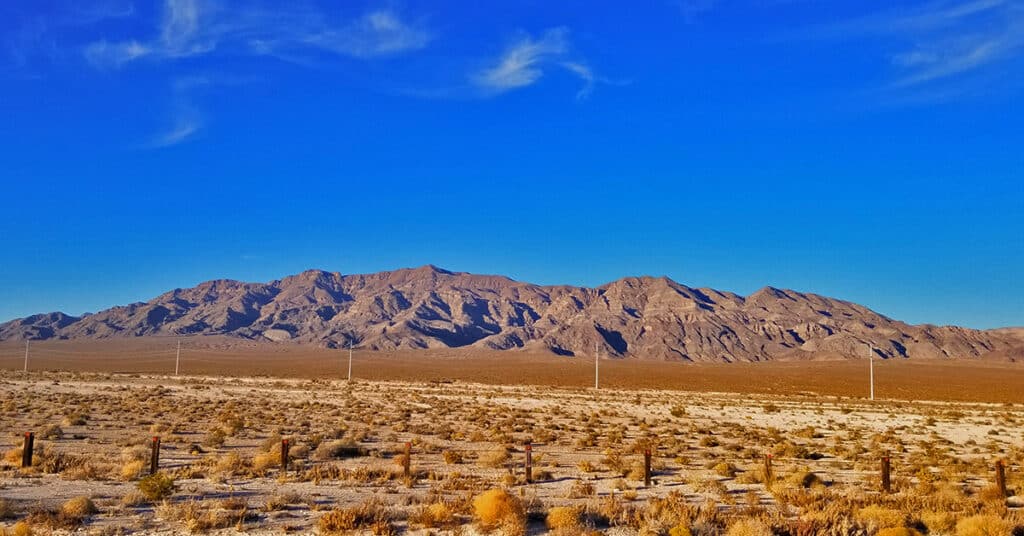
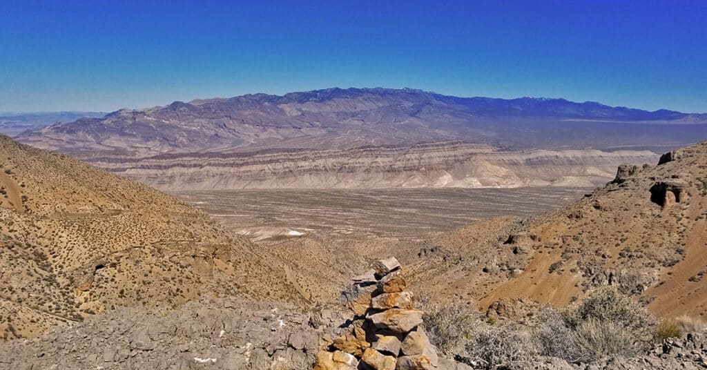
The Sheep Range is located in the Desert National Wildlife Refuge just North of Las Vegas, Nevada. The refuge was named for its purpose to protect the bighorn sheep population and is the largest wildlife refuge in the lower 48 States. The motor vehicle entrance to the Sheep Range is off Nevada Hwy 95 at Corn Creek Road. There is a beautiful interpretive center with a desert interpretive walkway and ample parking for about 30 vehicles. There is a 4WD road system entirely circling the Sheep Range with additional roads branching off to trailheads and camping areas. Just South of the Sheep Range sits Fossil Ridge, an ancient rocky ridgeline with Nautilus fossils aging near 450 million years old dating back to the era when there was just one continent on Earth, Pangea. Follow thumbnail images to view the details you will need to plan your adventures here. Click image or title above for more…

