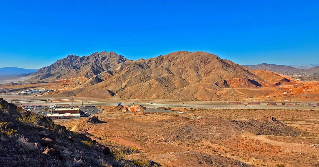
Murl Emery Arch | Nelson Benchmark | Pigs in Zen Peak | Eldorado Wilderness, Nevada

Visit incredible points of interest in the Nelson Benchmark area including Pigs in Zen Peak, Murl Emery Arch and Nelson Benchmark. Click the image or title above for details.
Lonesome Wash | Eldorado Wilderness, Nevada

Explore the heart of the Eldorado Wilderness all the way to the banks of the Colorado River! Click the image or title above for details.
Wee Thump Joshua Tree Wilderness, Nevada

View Some of the Oldest, Largest Joshua Trees on the Planet, Just South of Las Vegas! This small, but spectacular ancient wilderness area is well worth a visit. Click the image or title above for details.
Mohave Overlook Loop | Eldorado Wilderness, Nevada

Enjoy an eagle’s view of Nevada’s Eldorado Wilderness and the wild Colorado River from this incredible mesa! Click the image or title above for details.
Lonesome Peak West Canyon Loop | Eldorado Wilderness, Nevada

Take the Dive from Flatland into an Unexpected Rugged Canyon Land! This route follows the West Canyon to its base, blocked by “Satan’s Shaft”, then ascends upper ridgelines to the West offering aerial views of the canyon and expansive 360-degree views of the El Dorado Wilderness and distant points beyond. Click the image or title above for details.
Lonesome Peak Baseline Loop | Eldorado Wilderness, Nevada

Access to 7 Eldorado Wilderness View Peaks and the Colorado River! Click the image or title above for details.
Railroad Mountains Overview, Nevada
City of Las Vegas Public Park Finder Railroad Mountains Overview, Nevada (Click Through to Individual Trails and Hiking Routes Below) (Mileage Below is Round Trip. Altitude and Mileage are Approximate) LasVegasNevada.gov Parks & Facilities Web Pages Scorpion Peak Loop 5 mi / Approx. 2,400 > 4,089ft**Trails & Wilderness**
Scorpion Peak Loop | Railroad Mountains, Nevada
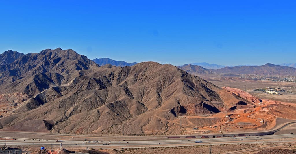
Fun Route to a Challenging Summit with Unique 360-Degree Views! Click the image or title above for details.
Mud Springs Loop Trail Clockwise | Lee Canyon | Mt. Charleston Wilderness | Spring Mountains, Nevada

This is the complete 15-mile outer loop in a clockwise direction from the Sawmill Trailhead including a traverse of Macks Peak Eastern Base. Click the image or title above for details.
Amargosa Overlook | Mt. Charleston Wilderness | Spring Mountains, Nevada
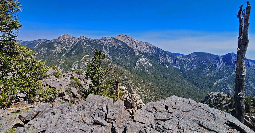
Enjoy a spectacular view overlooking Charleston Peak and the Amargosa Valley from a 10,154ft high point above Lee Canyon, Nevada. Click the image or title above for details.