Environmental Consciousness Around Las Vegas, Nevada
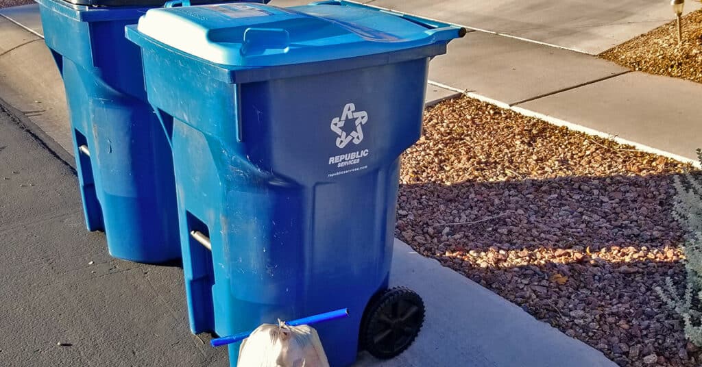
Imagine the impact if many people in the Las Vegas Area picked up a few pieces of trash during their morning walk and threw them into the recycling container at home! Here’s how I relieved an abandoned 27-hole golf course of over a ton of trash over time.
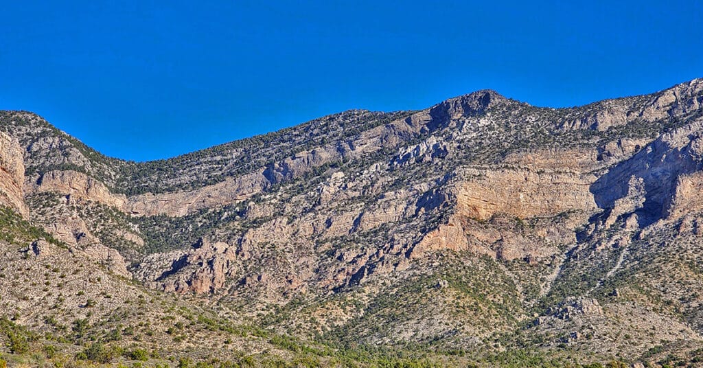
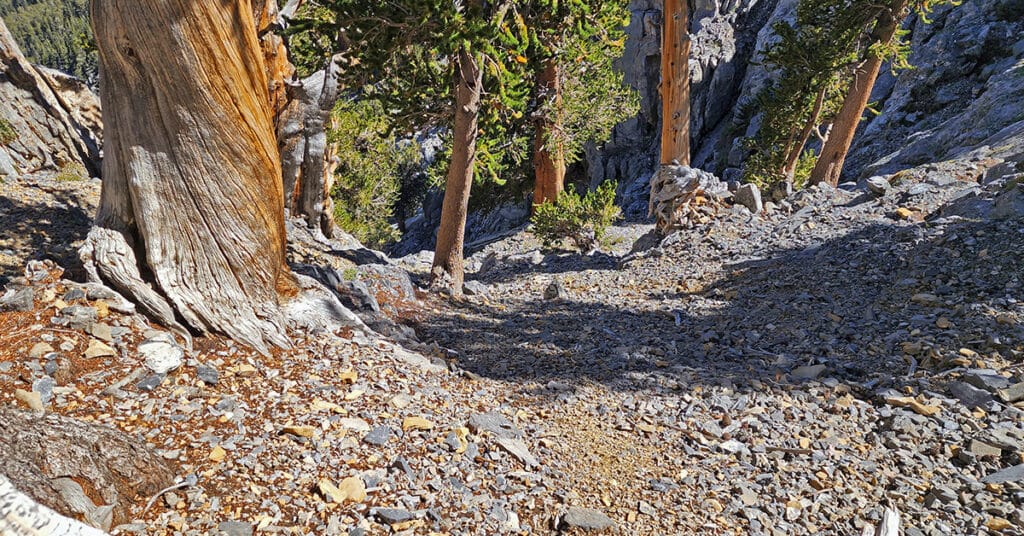
Wilderness Navigation | Nevada and California
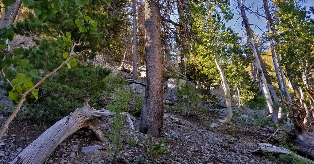
My wilderness navigation is a combination of skills learned, experienced and tested over the years. I pushed myself just a bit beyond my comfort level countless times, gaining an important new skill each time until the wilderness feels safer to me than civilization. Click image or title above for more…
Nutritional Supplementation | Trail Running and Hiking Tips to Help You Prepare, Be Safe and Enjoy Your Wilderness Adventure!

Nutritional Supplementation Tips for Hikers, Runners and Climbers: There is no definitive guide here. View my top choices over time and make your best decision. Click image or title above for more…
Trail Running and Hiking Nutrition

Being mindful of what and when you eat not only during your wilderness experience but in the week, month and even year prior can make a huge difference in your energy level, strength, endurance, flexibility and success. Click image or title above for more…
Desert Hydration | Hikers | Trail Runners
How much water do your need to carry? Too much is exhausting, not enough is dangerous. The hot dry air flowing into your lungs mimics the drying effect of clothes in a dryer, sapping your bodies water. Water supplies every cell and organ in your body with what it needs for survival and health. As you dehydrate, organs begin to be affected and eventually, in an extreme condition, shut down. Calculate your hydration needs based on temperature, altitude, incline and distance. Click image or title above for more…
Trail Running and Hiking Mindset
Two very different wilderness experiences create different results: 1) Conquer that mountain – you vs. the mountain 2) The mountain is drawing you upward – both you and the mountain are pulling for your success. Here we explore the power of mindset to influence experience and results. Click image or title above for more…
Attaining Your Ideal Weight | Be Leaner, More Active
This is a simple, practical strategy you can immediately apply to move you toward your ideal weight. No complex diet systems, calorie counting, nutritional programs…just a simple tweak in the order and time of your daily meals. Try it out and see how simple and powerful it is! Click image or title above for more…
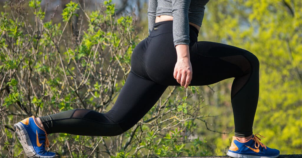
Daily Conditioning for Hikers and Trail Runners
Daily Conditioning Strategy for Hikers and Trail Runners to Help You Prepare, Be Safe and Enjoy Your Wilderness Adventure! As I navigate the wilderness and encounter physical challenges requiring strength, flexibility, endurance and speed, I will stop now and then to record a video describing how my daily conditioning routine enabled me to meet these challenges while helping prevent injuries along the way. Click image or title above to view these videos…
02 Technique | Trail Running and Hiking Tips to Help You Prepare, Be Safe and Enjoy Your Wilderness Adventure!
Technique is everything regardless of your sport. Proper form improves performance and results while conserving energy. We look at proper form and technique for running and hiking. The basic principles translate to other sports. Click image or title above for more…
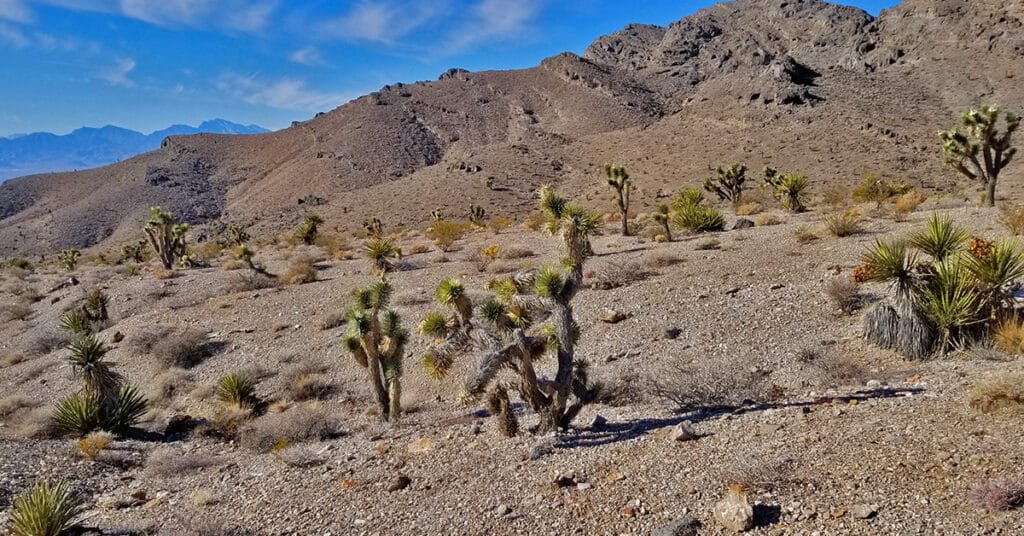
Desert Plants Below 5000ft
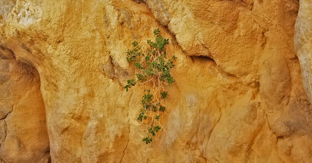
View plant life finding a way to survive with scarce water, hostile soil conditions and radical temperature fluctuations in the low desert from below sea level to 5000ft. Some of these plants seemingly grow out of solid rock! Click image or title above for more…