Desert Hydration | Hikers | Trail Runners
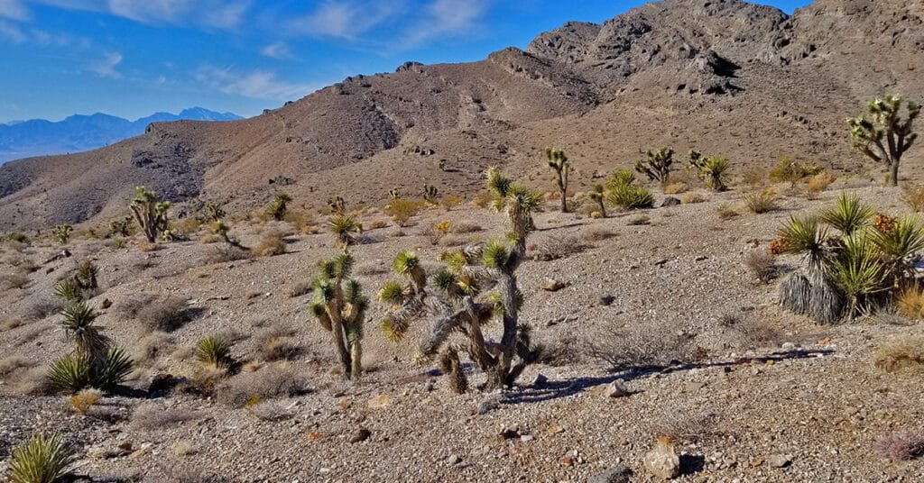
How much water do your need to carry? Too much is exhausting, not enough is dangerous. The hot dry air flowing into your lungs mimics the drying effect of clothes in a dryer, sapping your bodies water. Water supplies every cell and organ in your body with what it needs for survival and health. As you dehydrate, organs begin to be affected and eventually, in an extreme condition, shut down. Calculate your hydration needs based on temperature, altitude, incline and distance. Click image or title above for more…
Trail Running and Hiking Mindset
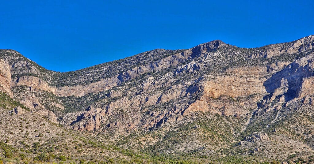
Two very different wilderness experiences create different results: 1) Conquer that mountain – you vs. the mountain 2) The mountain is drawing you upward – both you and the mountain are pulling for your success. Here we explore the power of mindset to influence experience and results. Click image or title above for more…
Attaining Your Ideal Weight | Be Leaner, More Active

This is a simple, practical strategy you can immediately apply to move you toward your ideal weight. No complex diet systems, calorie counting, nutritional programs…just a simple tweak in the order and time of your daily meals. Try it out and see how simple and powerful it is! Click image or title above for more…
Daily Conditioning for Hikers and Trail Runners
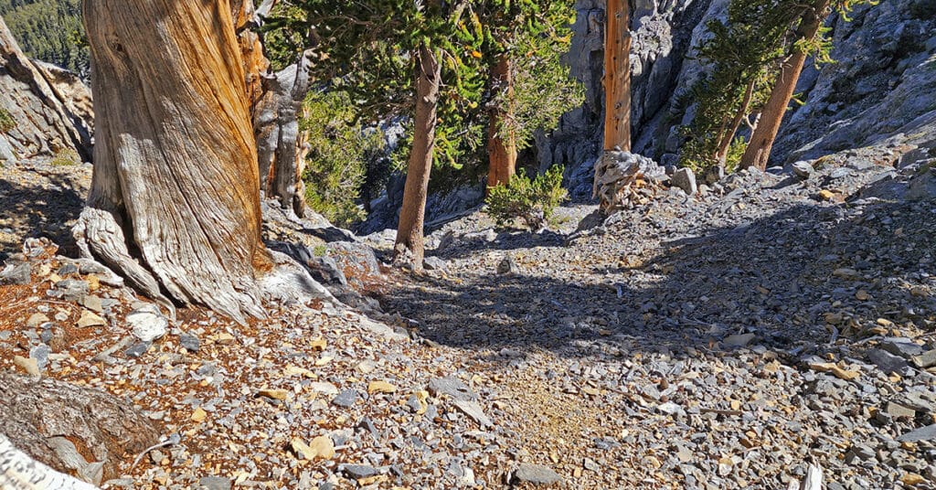
Daily Conditioning Strategy for Hikers and Trail Runners to Help You Prepare, Be Safe and Enjoy Your Wilderness Adventure! As I navigate the wilderness and encounter physical challenges requiring strength, flexibility, endurance and speed, I will stop now and then to record a video describing how my daily conditioning routine enabled me to meet these challenges while helping prevent injuries along the way. Click image or title above to view these videos…
02 Technique | Trail Running and Hiking Tips to Help You Prepare, Be Safe and Enjoy Your Wilderness Adventure!

Technique is everything regardless of your sport. Proper form improves performance and results while conserving energy. We look at proper form and technique for running and hiking. The basic principles translate to other sports. Click image or title above for more…
Desert Plants Below 5000ft
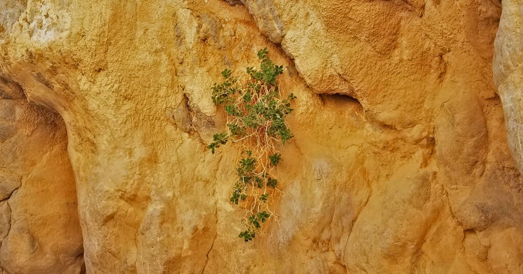
View plant life finding a way to survive with scarce water, hostile soil conditions and radical temperature fluctuations in the low desert from below sea level to 5000ft. Some of these plants seemingly grow out of solid rock! Click image or title above for more…
Wild Horses | Southwestern US Desert
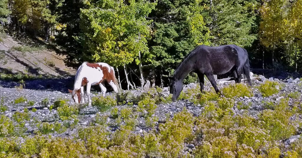
You are most certain to see wild horses in Lee Canyon; bighorn sheep in Valley of Fire State Park; and wild burros near the Wildrose Charcoal Kilns of Death Valley. They are most active and visible in the early morning or near sunset. Click image or title above for more…
Wild Burros in the Desert
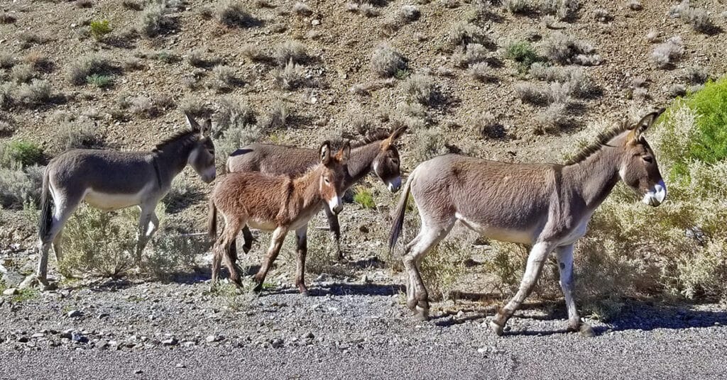
I’ve stopped to film wild desert burros in such diverse places as Lucky Strike Road in the Mt. Charleston Wilderness of Nevada and near Wildrose Charcoal Kilns in the Panamint Range of Death Valley. The burros were originally used by miners in the late 1800’s and early 1900’s, then turned loose. They’re hardy. They survived and multiplied. Click image or title above for more…
Bighorn Sheep in Nevada Deserts
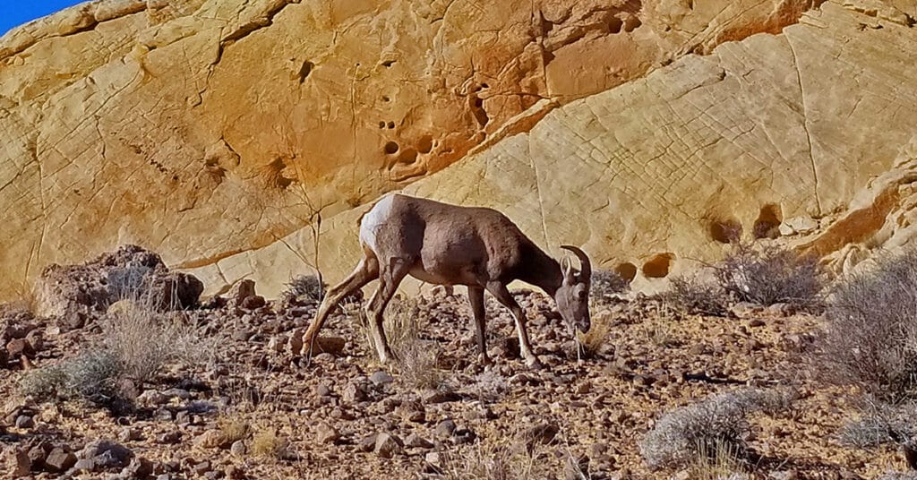
The most certain location to view wild bighorn sheep in Nevada Deserts is in Valley of Fire State Park. Here is a collection of video sightings at the Bee Hives formations, Silica Dome and Fire Canyon. It’s always an unexpected surprise and good fortune to come face-to-face with wild bighorn sheep! They seldom appear when you’re searching for them.
Water in the Desert | Southwest US
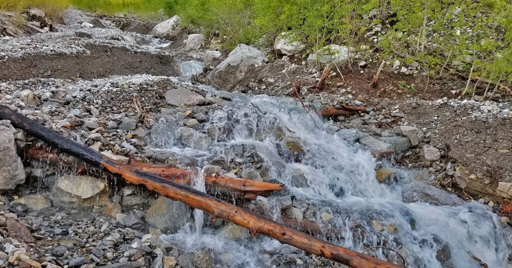
Transport yourself to a calm desert pool. Loose yourself in the sound of flowing and falling water. This page is filled with videos that each last about 4 minutes with only the sight and the sound of water in the desert. Turn on multiple videos in the “Individual Water Videos” section and listen to a unique orchestra of water sounds of your own creation. Turn on all the videos at once and create a flash flood effect. Take at least the full 4 minutes to listen, watch and experience stress and worry being washed away with the natural sound of water! Click image or title above for more…
