Rainbow Mountain Eastern Cliffs Rock Climbers, Nevada
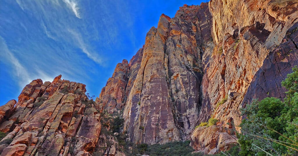
Observe rock climbers scaling the impossibly high vertical cliffs on the Eastern side of Rainbow Mountain, Nevada. In addition, view the summit approach route for Juniper Peak from above and receive a detailed description of that route beginning from the Pine Creek Canyon Trailhead.
Pine Creek Canyon Rock Climber Observations | Rainbow Mountain Wilderness, Nevada
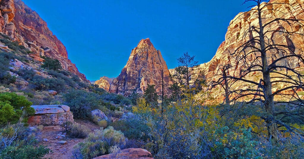
This non rock climber discovered the best route through Pine Creek Canyon to the Rock Climber ascent points and filmed some rock climbing from an awesome perspective across the canyon. In addition, I point out some great hiking trails and potential approaches to the Rainbow Mountains Upper Crest Ridgeline above the canyon.
Far North Upper Crest Ridgeline | Rainbow Mountain Wilderness, Nevada
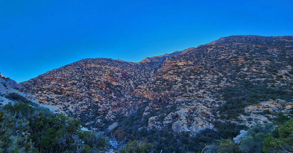
This is a circuit composed of the Northernmost 3 miles of the Rainbow Mountains Upper Crest Ridgeline. The circuit begins at the Willow Spring Area of Red Rock Canyon National Conservation Area, Nevada. From there, ascent the ridge from its Northernmost point, head South, then return to Willow Spring via Rocky Gap Road.
04 Mid Upper Crest Ridgeline | Rainbow Mountain Wilderness, Nevada
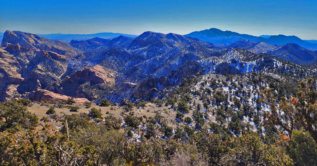
Experience the Rainbow Mountains Mid Upper Crest Ridgeline from just South of North Peak to Rainbow Mountain. Pictures, video, detailed description. This adventure begins at Willow Spring in Red Rock Canyon, ascends Rocky Gap Road to the Bridge Mountain/North Peak Trailhead then ascends to the ridgeline, turns South taking the Bridge Mountain Trail. Finally, leave the Bridge Mountain Trail to continue South along the Upper Crest Ridgeline. Click image or title above for more…
02 North Upper Crest Ridgeline | Rainbow Mountain Wilderness, Nevada
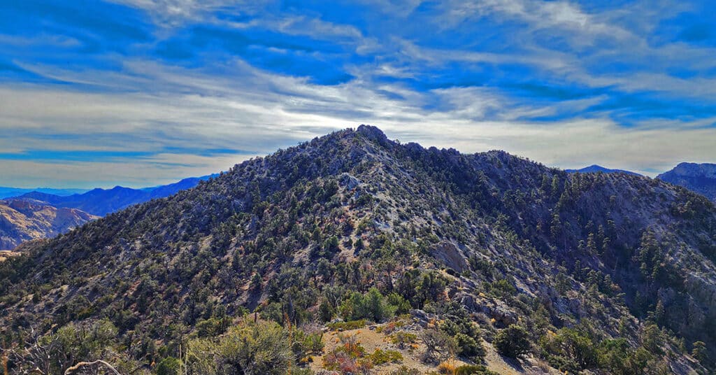
Traverse the Northern Upper Crest Ridgeline between Willow Spring in Red Rock Canyon NCA and North Peak in the Rainbow Mountain Wilderness, Nevada. This ridgeline runs parallel just above to the West of the Rainbow Mountains bordering the West side of Red Rock Canyon. Discover the unmarked trail that takes you all the way. Return by Rock Gap Road.
Hollow Rock Peak | Rainbow Mountain Wilderness, Nevada
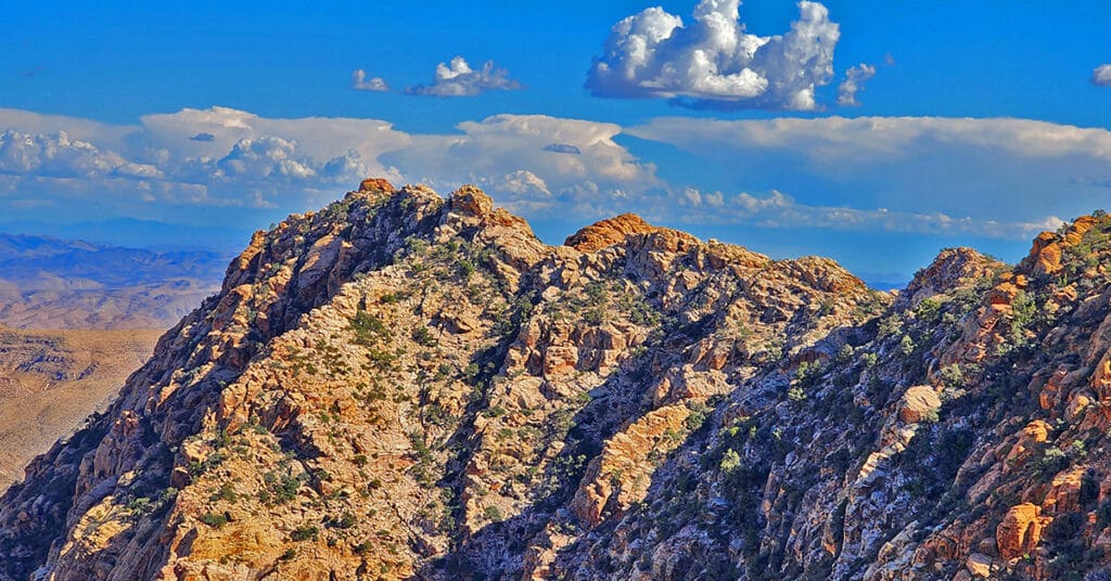
Hollow Rock Peak is the second to the Southernmost peak in the Rainbow Mountains with South Peak just beyond. It’s a great 5-mile round trip and offers climbing levels from class 2-3 to class 5, depending on the route you choose (see below). And the calico boulders, pinnacles, cliffs, ledges and scattered bonsai-like bushes and trees make this an adventure of wonder. Spectacular views include the Las Vegas Valley and Strip, Frenchman Mountain, Muddy Mountains, Virgin Mountains (dim, distant), Gass Peak, the Sheep Range, Blue Diamond Mountain, portions of Red Rock Canyon, Calico Basin and La Madre Mountains, Mt. Charleston Wilderness, Lovell Canyon Area, Potosi Mountain, Lake Mojave (or Havasu?), and too many additional points of interest to mention here. Route details: 5 mi RT/ 5,470ft > 5,960ft; Mostly Good Trails, Some Class 3 Climbing. Best time of year for this adventure: Spring or Fall. Click image or title above for more…
03 Rainbow Mountains South Upper Crest Ridgeline | Rainbow Mountain Wilderness, Nevada
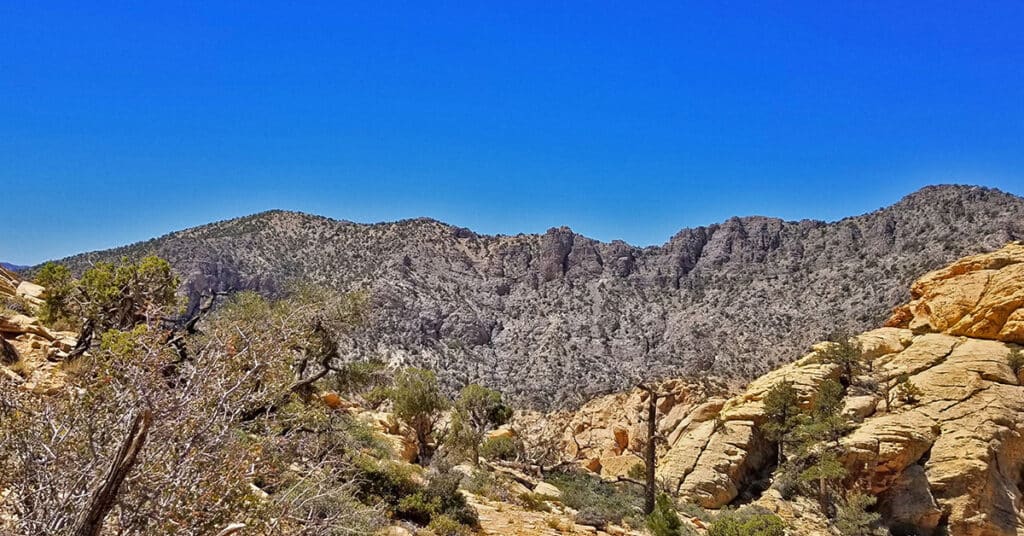
The Rainbow Mountains Upper Crest Ridgeline stretches above the Rainbow Mountains summits from its Southern point at Mountain Springs Trailhead on Highway 160 to its Northern point around the Willow Springs area of Red Rock Park. Here we focus on the Southern half of the Rainbow Mountains Upper Crest Ridgeline from Mountain Springs to Hidden Peak. Route details: 12 mi/ 5,900 > 7,000ft (approx.); Some Trails, Some Wilderness. Click image or title above for more…
North Peak | Rainbow Mountain Wilderness, Nevada
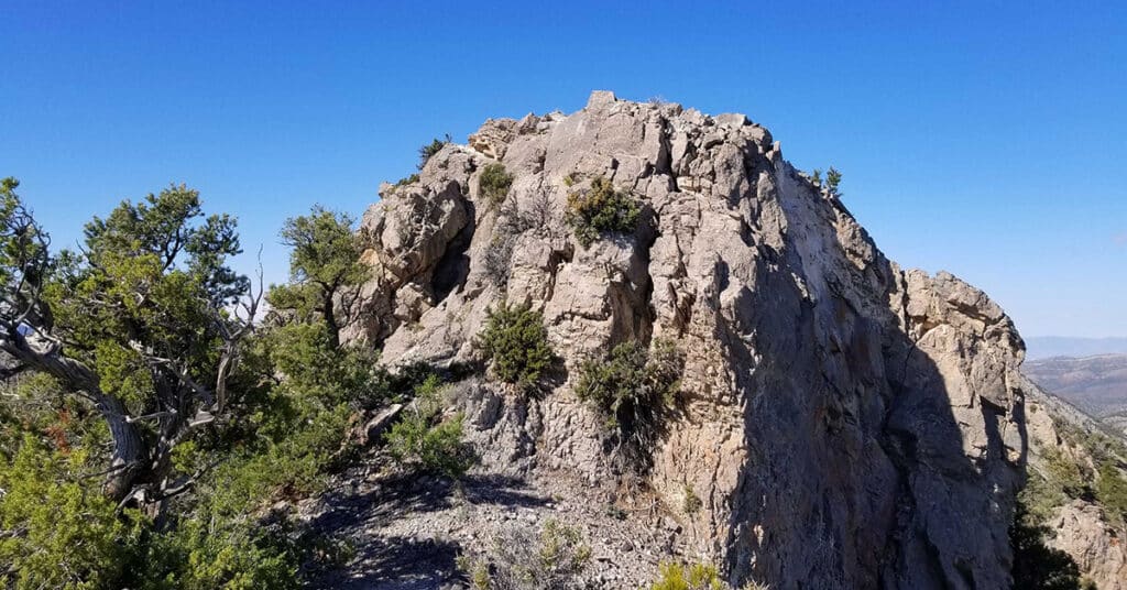
The summit of North Peak is like the turret of a medieval European castle with amazing views in all directions. Views to the East include Red Rock Canyon all the way to Lake Mead. The Mt. Charleston Wilderness can be seen to the West. The Keystone Thrust and La Madre Mountains Wilderness is to the North and the span of the Rainbow Mountains to Potosi Mountain to the South. Route details: 17 mi/ 4500 > 7003ft; **Some Trails, Some Wilderness**. Click image or title above for more…
Bridge Mountain in Rainbow Mountain Wilderness, Nevada
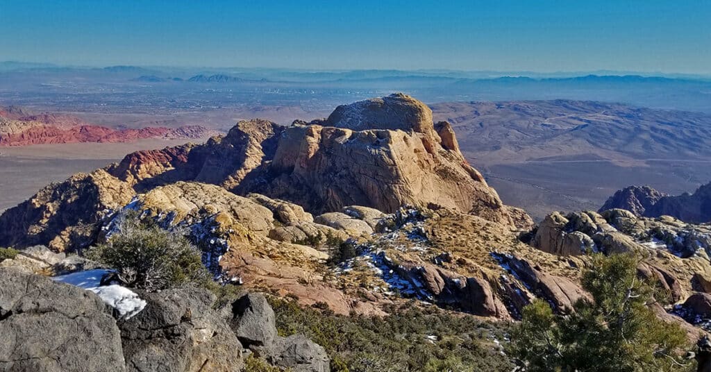
Bridge Mountain in the Rainbow Mountain Wilderness of Nevada is one of the most popular rock climbing destinations in the area. Summiting Bridge Mountain is challenging and there is at least one class 3+ exposed stretch. The most customary summit approach begins in the Willow Creek Picnic Area in Red Rock Park and ascends Rocky Gap Road to a high point before branching off to the approach trail. Route Details: 17 mi/ 4500 > 7003ft; Some Trails, Some Wilderness. Click image or title above for more…
Juniper Peak | Rainbow Mountain Wilderness, Nevada
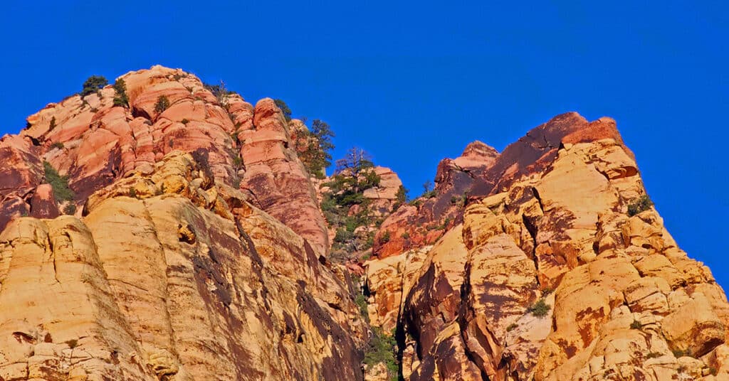
If you’re looking to climb your first peak in the Rainbow Mountains, Juniper Peak is a good start. Many of the surrounding peaks dwarf it in comparison: Mt. Wilson; Rainbow Mountain; Bridge Mountain. Experience all the beauty and challenge of a Jurassic Era Aztec red rock peak in the Rainbow Mountains of Nevada. When you are facing Juniper Peak there appear to be 3 routes from the Red Rock Park side: Two narrow chutes to the left and what looks like a more gradual approach to the right. I ended up selecting the middle of these routes – the right chute of the two chutes to the left. Hindsight says that the easier, and likely the more traditional route is the more gradual climb up the slope on the right (just before Pine Creek Canyon). Route Description: 8.7 mi/ 3,909 > 6,109ft; **Some Trails, Some Wilderness** Click image or title above for more…

