Railroad Mountains Overview, Nevada
City of Las Vegas Public Park Finder Railroad Mountains Overview, Nevada (Click Through to Individual Trails and Hiking Routes Below) (Mileage Below is Round Trip. Altitude and Mileage are Approximate) LasVegasNevada.gov Parks & Facilities Web Pages Scorpion Peak Loop 5 mi / Approx. 2,400 > 4,089ft**Trails & Wilderness**
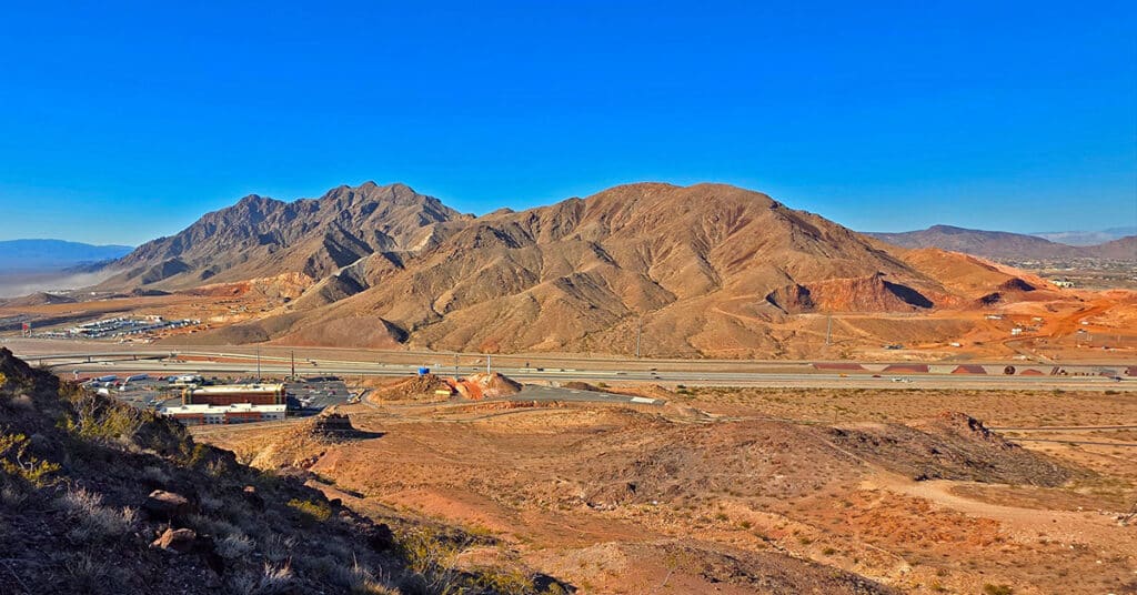
Scorpion Peak Loop | Railroad Mountains, Nevada
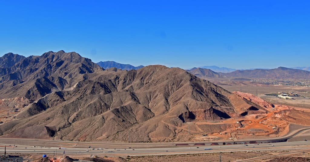
Fun Route to a Challenging Summit with Unique 360-Degree Views! Click the image or title above for details.
Boulder City Ridgeline Loop | Lake Mead National Recreation Area, Nevada
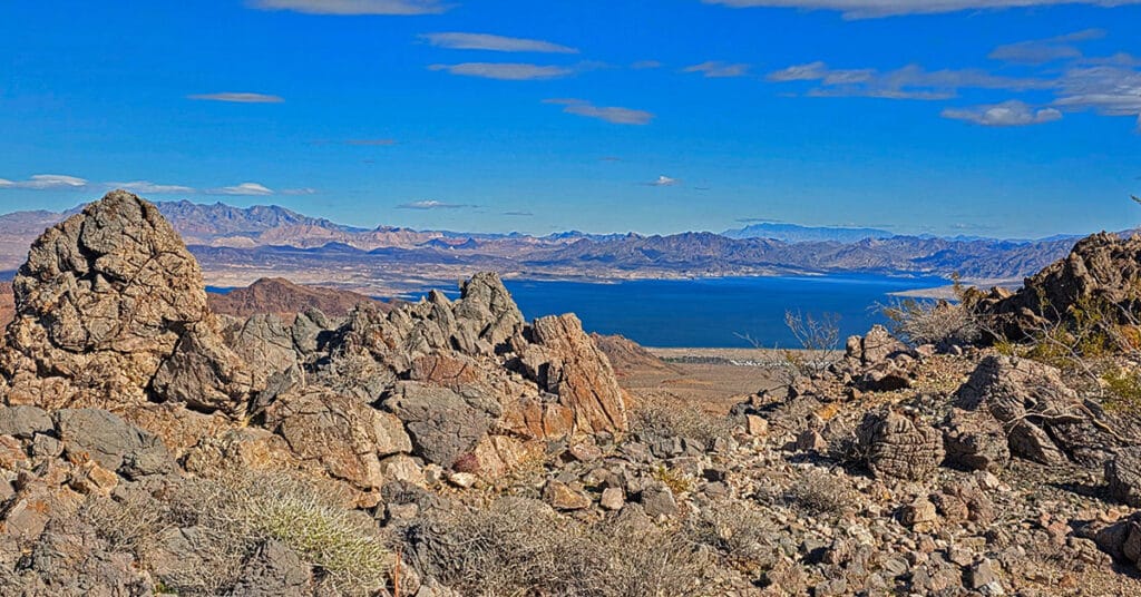
Traverse this great ridgeline bordering NW Boulder City with spectacular views of Lake Mead, the River Mountains, Promontory Point, Fortification Hill and points beyond! Click the image or title above for details.
River Mountains Overview | Lake Mead NRA, Nevada
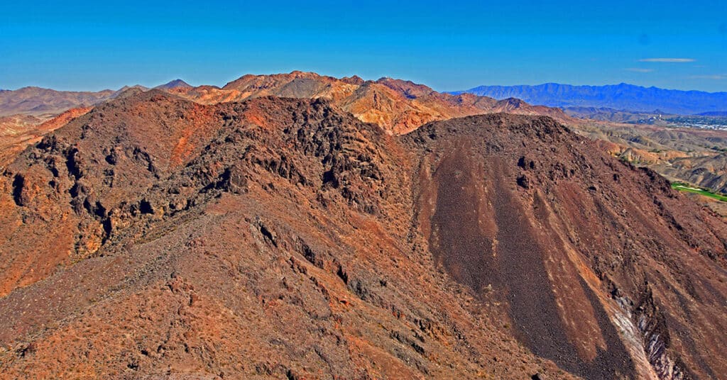
Explore this huge, rugged volcanic mountainous area circled by a great 34-mile hiking / biking loop trail just South of Las Vegas, Nevada! Click the image or title above for details.
Red Mountain, Black Mountain, Radar Mountain | River Mountains | Lake Mead NRA, Nevada
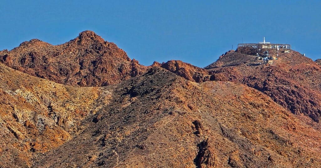
Visit highpoints on and around River Mountain Trail in the River Mountains above Boulder City, Nevada. Observe a fascinating VORTAC tower! Click the image or title above for details.
Leaning Arch Loop | River Mountains | Lake Mead NRA, Nevada
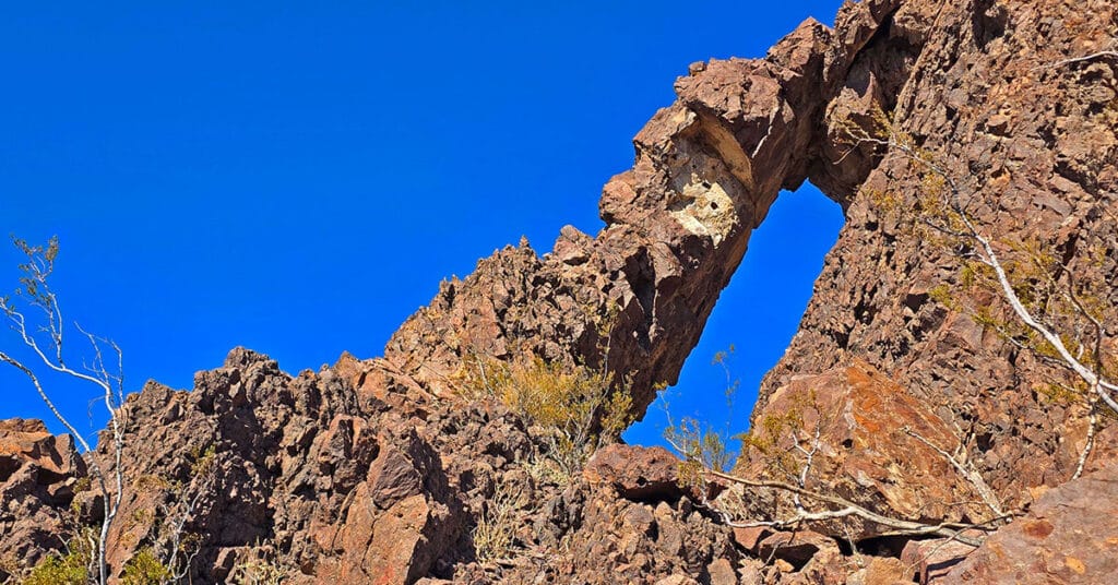
This challenging 5-mile volcanic terrain adventure has a remarkable destination point! It’s a huge vertical arch you can easily stand under for an awesome framed photo. Click the image or title above for details.
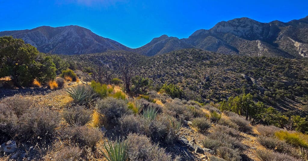
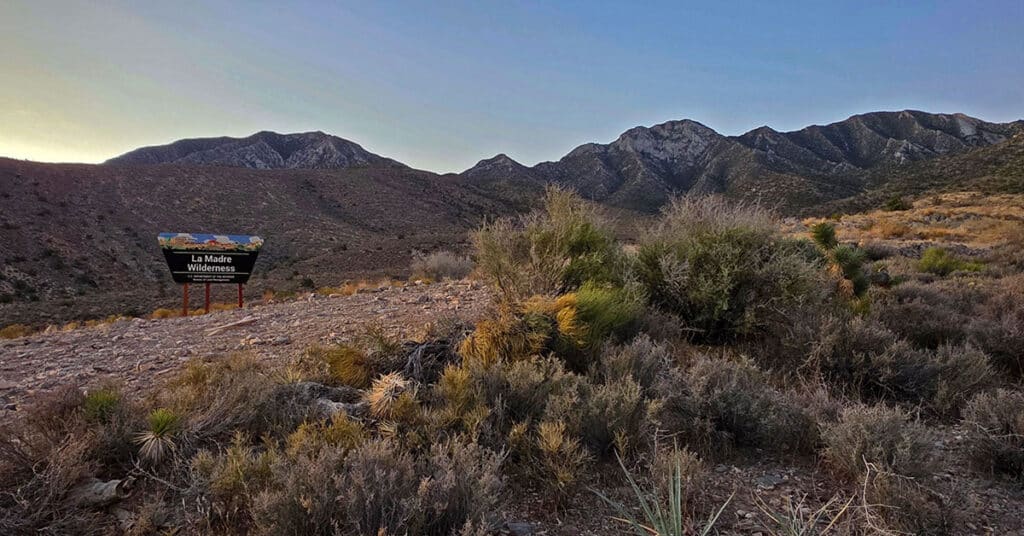
North Ridge Loop | La Madre Mountains Wilderness, Nevada
Explore the North side of the spectacular La Madre Mountains Ridgeline. Beginning at the Northeastern end of the La Madre Ridgeline, summit the North La Madre Ridge to 7,000ft just below the spectacular Devil’s Slide. Then, continue on the ridgeline descending to the La Madre Wilderness Campground to the Northwest. Finally, take lower approach roads back to your starting point at a trailhead parking area on Kyle Canyon Road just above the horse ranches. Discover key North La Madre Wilderness connections. Click the image or title above for details.
La Madre Ridgeline East Saddle | La Madre Mountains Wilderness, Nevada
The La Madre Ridgeline East Saddle in Nevada is the Grand Crossing Between Harris Springs Canyon and Little Red Rock. Click the image or title above for details.
La Madre East Ridge Approaches | La Madre Mountains Wilderness, Nevada
Explore Northern Approaches to the Magnificent, Pristine La Madre Mountains Eastern Ridgeline in Nevada. Click the image or title above for details.
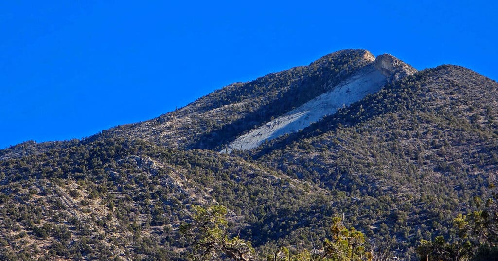
Devils Slide | La Madre Mountains Wilderness, Nevada
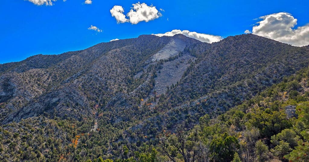
Visit this massive ancient limestone see floor elevated to near vertical. It’s truly a great natural wonder! Click the image or title above for details.