Overview of the La Madre Mountains High Elevation Perspective
Standing on a high point just West of the Devil’s Slide (also referred to at the La Madre Mountain Scar), I was able to view the exact spot where the Southern Pass emerged from between the La Madre Mountain and El Padre Mountain cliffs originating in Calico Basin. At the same time I was able to look West along the top of the Keystone Thrust to see where the Western Approach originating in the Willow Springs area of Red Rock Park emerged at the summit of El Padre Mountain. Finally, looking North I was able to see the entire Northern approach route originating at the intersection of Kyle Canyon Road and Harris Springs Road. In short, this was an experience in “connecting the dots” in the La Madre Mountains Wilderness. Arrival at the summit of La Madre Mountain will add knowledge of an Eastern approach.
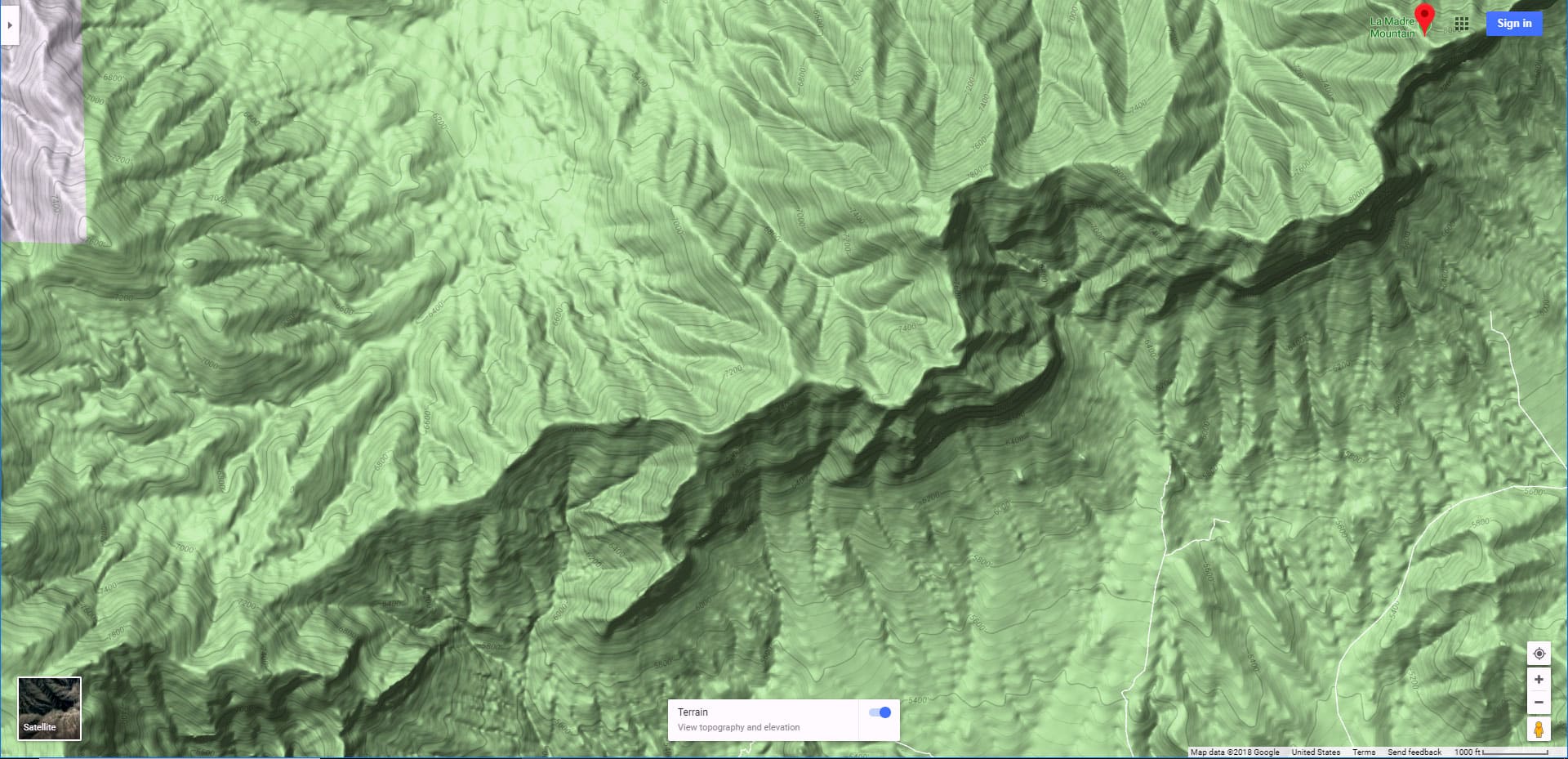
Route Directions to the La Madre Mountains High Elevation Perspective
This was my third trip up the North approach to La Madre Mountain and each time I have made it closer to the summit. Today I arrived at a hilltop just West of the summit of the Devil’s Slide/La Madre Mountain Scar and about 250ft below the Devil’s Slide (about 700ft below La Madre Mountain’s 8000ft summit). It was about a 25-mile round trip from my point of origin at the intersection of Kyle Canyon and Harris Springs roads, and this is what I refer to as the Northern Approach to La Madre Mountain.
In short, park in a parking area on the right side of Kyle Canyon Road about 100 yards beyond the intersection with lower Harris Springs Road. Run Harris Springs road for a few miles to reach a 4WD turnoff to the left heading up to the base of La Madre Mountain. At the upper end of the 4WD road there is a turn-around. The video on this page shows how to find the semblance of a trailhead at the turn-around. Take the trail down into a small canyon wash immediately East of the turn-around. The trail will disappear–in fact that’s the last trail you will see on this trip. However continue up the opposite side of the canyon to the top of a ridge. Take a right at the top of the ridge which will circle around to the East for a couple miles where it takes a right straight toward La Madre Mountain. Ascend the ridge to a prominent hilltop just West of the summit of the Devil’s Slide and about 250ft below. This last stretch has a few class 3 sections, but nothing with any major scary exposure. The gray rock face, made from the same material as the Devil’s Slide is very beautiful.
“Devil’s Slide” vs. “La Madre Mountain Scar”
By the way, many people call this feature the “La Madre Mountain Scar”. I met a local from way back who said that the locals here refer to the feature as the Devil’s Slide. Devil’s Slide sounds much more exciting than a “scar”, and scars represent injury and something deformed, in the process of healing. On the other hand, when you’re up on the mountain, the Devil’s Slide is one of the most beautiful rock faces I have ever seen…definitely not a deformed feature like a scar. The rock face is so straight and flat it looks as if it was perfectly cut with a giant saw. It is so smooth it glistens in the sun and from a distance looks like a white snow field year-round. For me, Devil’s Slide it is! If you were to slide down that feature it would definitely be your last move in life! It must be in the area of 1000-1500ft or more from top to bottom.
The Hidden Upper La Madre Mountains Wilderness
From the hilltop to the right of the Devil’s Slide, which is about 7300ft elevation, you get your first real view of the upper La Madre Mountains wilderness. You are looking at the opposite side of the Keystone Thrust cliffs you see when you’re standing at the entrance of Red Rock Park or Calico Basin and looking to the upper end of those canyons. The entire upper area is rugged and untouched. It’s also relatively approachable and looks as if a good part of this hidden summit area is accessible without going beyond class 3 climbing…most being class 1 and 2. No promises as to what’s on the other side of the Devil’s Slide as I haven’t been there yet. From the hilltop there’s still about 700ft and about 1/2 mile to the La Madre Mt. Summit, and the last 400ft are hidden behind the Devil’s Slide!
The 25-30 Mile Overall Distance is the Big Challenge
I’ll make that last 700ft in a future trip. However, the challenge is that by the time I get to the hilltop I’ve already covered nearly 15 miles and am facing a 15-mile return trip! For those with a 4WD vehicle the total distance would be about a 6-8 miles round trip to the summit. As it is, my total time to the hilltop was about 4 hours minus video filming and the return trip to Kyle Canyon & lower Harris Springs Road was about 3 hours. For more adventures in this area see my La Madre Mountain North page.
Alternate Route Via El Padre Mountain Summit May Be Within Easier Reach!
Here’s an interesting alternate summit route that takes in El Padre Mt. summit — I’m attempting this on the next trip. At the loop end of the 4WD road mentioned earlier, head straight up the same ridge to a wide summit hilltop visible from the 4WD road. Behind that hilltop is a ridge that looks like a relatively level route to El Padre Mt. Summit (see the video and slides on this page). From El Padre Mt. it looks like you can pretty easily circle around to about 500ft below La Madre Mt. Summit. This route may be shorter and take less time. Not sure, but I’ll find out and create a page for El Padre Mt. soon!


