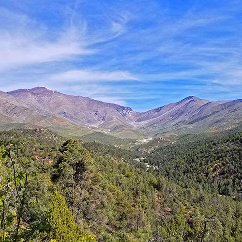
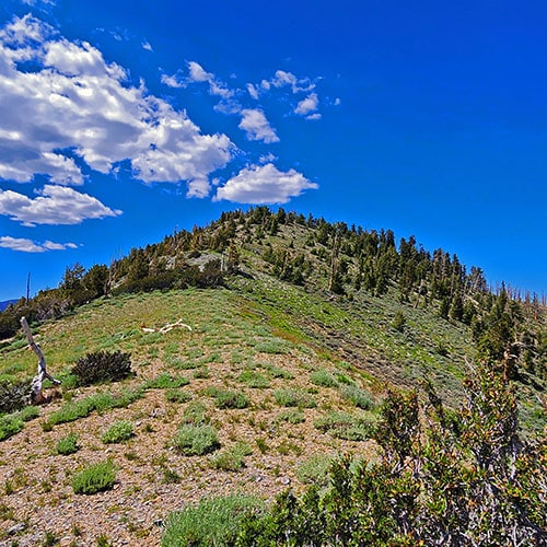
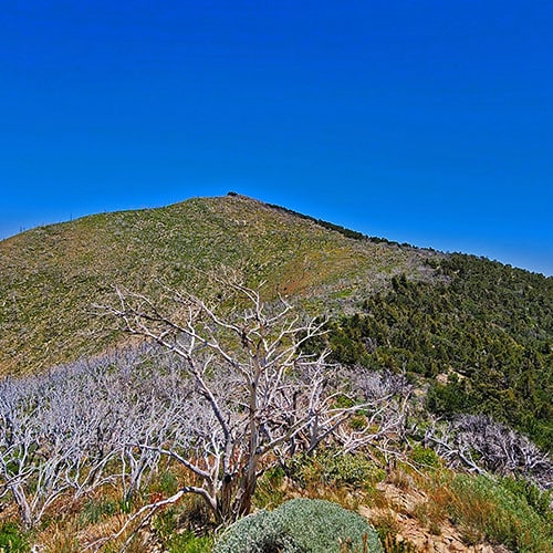
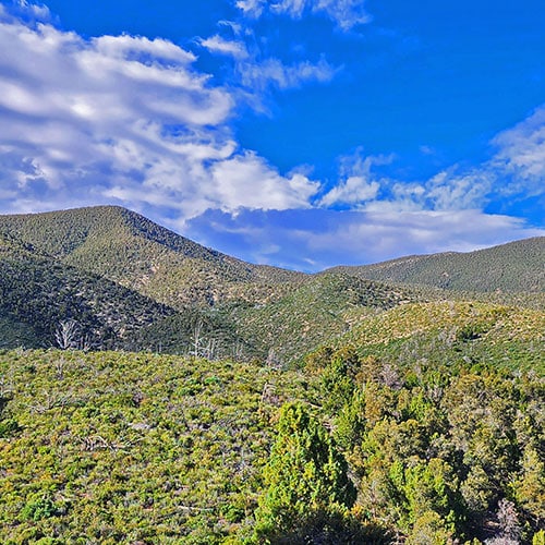
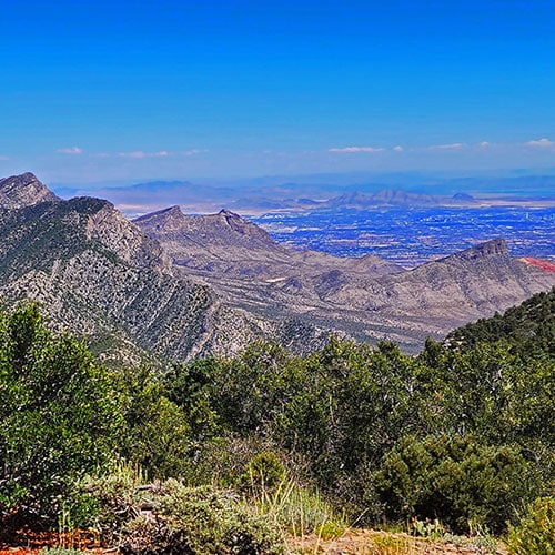
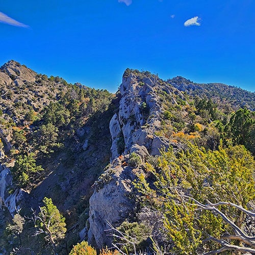
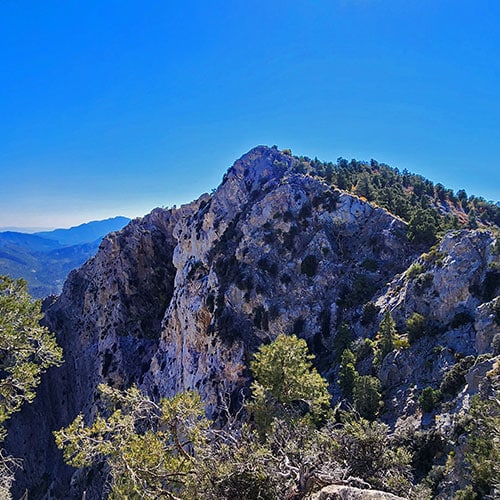
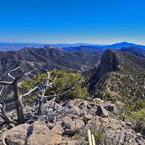
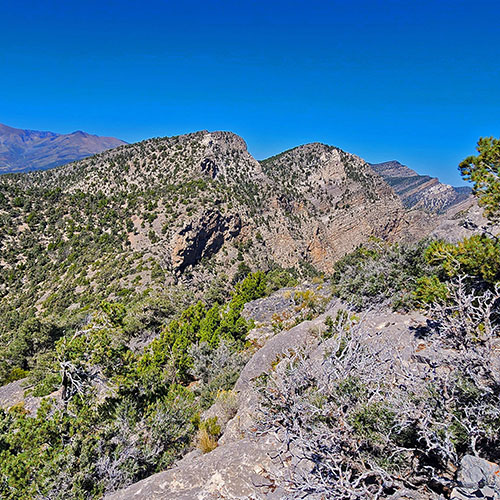
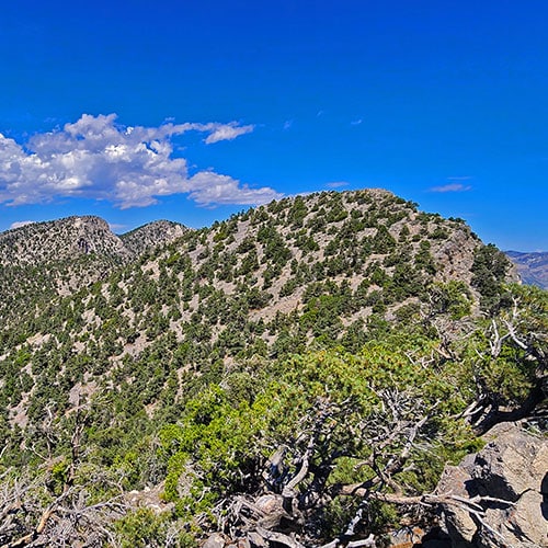
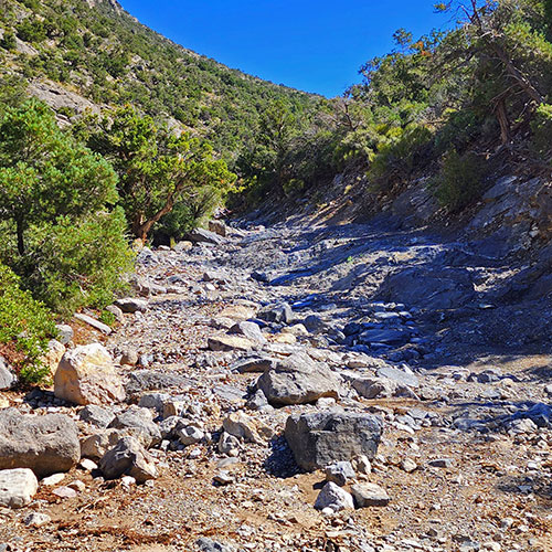
Wilson Ridgeline Overview | Lovell Canyon, NevadaUpper Wilson Ridge from Lovell Canyon. Harris Mt. High Point Wilson Ridgeline Overview | Lovell Canyon, NevadaHarris Mountain at Wilson Ridge Summit Wilson Ridgeline Overview | Lovell Canyon, NevadaUpper Wilson Ridge from Lovell Canyon. Harris Mt. High Point Wilson Ridgeline Overview | Lovell Canyon, NevadaHarris Mountain at Wilson Ridge Summit Wilson Ridgeline Overview | Lovell Canyon, NevadaUpper Wilson Ridge from Lovell Canyon. Harris Mt. High Point Wilson Ridgeline Overview | Lovell Canyon, NevadaView Down Wilson Ridge from Harris Mountain Summit Wilson Ridgeline Overview | Lovell Canyon, NevadaWilson Ridge from a High Point on Lovell Canyon Trail Wilson Ridgeline Overview | Lovell Canyon, NevadaUpper Wilson Ridge & Harris Mountain Road Wilson Ridgeline Overview | Lovell Canyon, NevadaUpper Wilson Ridge & Harris Mountain Road
The Wilson Ridgeline is the natural border between Lovell Canyon and Kyle Canyon in Nevada. The ridgeline descends from its high point at Harris Mountain in the Mt. Charleston Wilderness all the way to Highway 160 at Potosi Mountain. Elevations in the upper ridgeline range from 8,000 to over 10,000 feet. The Wilson Ridgeline is huge, and could merit its own entire wilderness area!
Plant Life on the Wilson Ridgeline
The Wilson Ridgeline is an untouched wilderness area populated by a huge variety of plants including forests of Bristlecone Pines, Ponderosa Pines, Pinyon Pines, Junipers, Mountain Mahogany, high mountain meadow grasses, wildflowers and much more. The lower ridgeline approaching Highway 160 becomes beautiful rolling hills of golden grasses swaying in the wind.
2013 Carpenter 1 Fire on the Wilson Ridgeline
The 2013 Carpenter 1 Fire burned out much of the upper ridgeline leaving huge groves of tree skeletons, many of which are Mountain Mahogany. However, the fire created opportunity for resurgence of new life along with opening spectacular views.
Terrain on the Wilson Ridgeline in Nevada
The terrain on the ridgeline is fairly gentle except for a few miles on either side of the center at Rocky Gap Road. Along this stretch 300-500ft rocky limestone peaks jut up from the ridge making for a challenging traverse. Each peak has its approach ridge from Lovell Canyon. Many of these ridges have huge limestone shelves packed with ancient sea bottom fossils. There is also evidence of pre-Columbian human habitation at points along this rocky stretch and its approach ridges.
Wilderness Adventure Destination
The Wilson Ridgeline is a beautiful destination in itself and you may feel as if you were the first human to walk on that ground. I’ve never seen a soul during my many adventures on the ridge. As with the Rainbow Mountains Upper Crest Ridgeline, I have explored the Wilson Ridgeline in a number of one-day adventures, finding numerous approach ridges.
**Approx. 5-mi RT, 5,400-6,400ft Rough Road, Great Trail**
Summary
Article Name
Wilson Ridgeline Overview | Lovell Canyon, Nevada
Description
The Wilson Ridgeline is the natural border between Lovell Canyon and Kyle Canyon in Nevada. The ridgeline descends from its high point at Harris Mountain in the Mt. Charleston Wilderness all the way to Highway 160 at Potosi Mountain. Elevations in the upper ridgeline range from 8,000 to over 10,000 feet. The Wilson Ridgeline is huge, and could merit its own entire wilderness area!
To provide the best experiences, we use technologies like cookies to store and/or access device information. Consenting to these technologies will allow us to process data such as browsing behavior or unique IDs on this site. Not consenting or withdrawing consent, may adversely affect certain features and functions.
Functional
Always active
The technical storage or access is strictly necessary for the legitimate purpose of enabling the use of a specific service explicitly requested by the subscriber or user, or for the sole purpose of carrying out the transmission of a communication over an electronic communications network.
Preferences
The technical storage or access is necessary for the legitimate purpose of storing preferences that are not requested by the subscriber or user.
Statistics
The technical storage or access that is used exclusively for statistical purposes.The technical storage or access that is used exclusively for anonymous statistical purposes. Without a subpoena, voluntary compliance on the part of your Internet Service Provider, or additional records from a third party, information stored or retrieved for this purpose alone cannot usually be used to identify you.
Marketing
The technical storage or access is required to create user profiles to send advertising, or to track the user on a website or across several websites for similar marketing purposes.