Murl Emery Arch | Nelson Benchmark | Pigs in Zen Peak | Eldorado Wilderness, Nevada

Visit incredible points of interest in the Nelson Benchmark area including Pigs in Zen Peak, Murl Emery Arch and Nelson Benchmark. Click the image or title above for details.
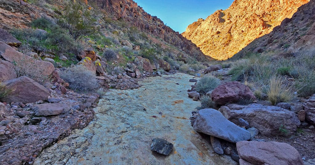
Lonesome Wash | Eldorado Wilderness, Nevada
Explore the heart of the Eldorado Wilderness all the way to the banks of the Colorado River! Click the image or title above for details.
Wee Thump Joshua Tree Wilderness, Nevada
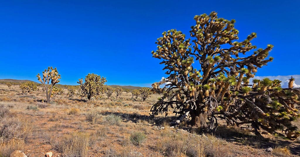
View Some of the Oldest, Largest Joshua Trees on the Planet, Just South of Las Vegas! This small, but spectacular ancient wilderness area is well worth a visit. Click the image or title above for details.
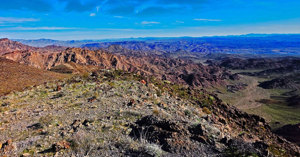
Mohave Overlook Loop | Eldorado Wilderness, Nevada

Enjoy an eagle’s view of Nevada’s Eldorado Wilderness and the wild Colorado River from this incredible mesa! Click the image or title above for details.
Lonesome Peak West Canyon Loop | Eldorado Wilderness, Nevada
Take the Dive from Flatland into an Unexpected Rugged Canyon Land! This route follows the West Canyon to its base, blocked by “Satan’s Shaft”, then ascends upper ridgelines to the West offering aerial views of the canyon and expansive 360-degree views of the El Dorado Wilderness and distant points beyond. Click the image or title above for details.
Lonesome Peak Baseline Loop | Eldorado Wilderness, Nevada

Access to 7 Eldorado Wilderness View Peaks and the Colorado River! Click the image or title above for details.
The Fortress and Rattlesnake Mountain | North McCullough Hills | Sloan Canyon NCA, Nevada

Sometimes lower elevations bring higher challenges! Experience The Fortress in Nevada’s North McCullough Wilderness. Click the image or title above for details.
Castle Rock Loop | Desert National Wildlife Refuge, Nevada

The Castle Rock Loop is located in the desert just North of Las Vegas and West of Gass Peak. It’s like a mini-version of Gass Peak. If you enjoy traversing mid-desert terrain from about 2,000-5,000ft and ascending long alluvial fans, you’ll love this loop! Experience spectacular views of Las Vegas, the Strip and surrounding mountains from the Spring Mountains to the West to McCullough Hills and River Mountains to the South to Frenchman Mt., Sunrise Mountain and the Muddy Mountains to the East. You’ve got a front row seat in a huge theater! Click the image or title above for details.
Fernande Peak | La Madre Mountains Wilderness, Nevada

Visit this huge, distinctive landmark, hidden in plain sight on the La Madre Ridgeline in Nevada’s La Madre Mountains Wilderness! Click the image or title above for details.
La Madre Ridge East Base Circuit | La Madre Mountains Wilderness, Nevada

Explore the very Eastern edge of the La Madre Ridgeline. Cross from Kyle Canyon to the area above Little Red Rock. Discover a cool backcountry 4WD road. Explore an approach to the La Madre Eastern Saddle. Click the image or title above for details.