
Charleston Peak Snow Dust | Mt. Charleston Wilderness | Spring Mountains, Nevada

This is a very magical view of Charleston Peak during a dusting of snow in mid-October. The conditions were just right to coat every pine needle of every bristlecone pine tree with an intricate glistening layer of snow and ice. Route description: 17 mi / Approx. 7,713 > 11,918ft; **Excellent Trail** Click image or title above for more…
Charleston Peak | Mt Charleston Wilderness | Spring Mountains, Nevada

At 11,918ftm Charleston Peak is the highest mountain in the Spring Mountain Range and in Southern Nevada. Here you get the best view of the entire North-South Charleston Loop including all the mountain peaks mentioned above, along with a great view of Charleston Village over 5000ft immediately below, then all the way down Kyle Canyon to I-95 and beyond. The approach trail is about 8.5 miles in length from the South Loop Climb trailhead, but many make this an 18-mile circuit adventure. Route description: 17 mi / Approx. 7,713 > 11,918ft; **Excellent Trail** Click image or title above for more…
Cathedral Rock, Mt. Charleston Wilderness, Nevada
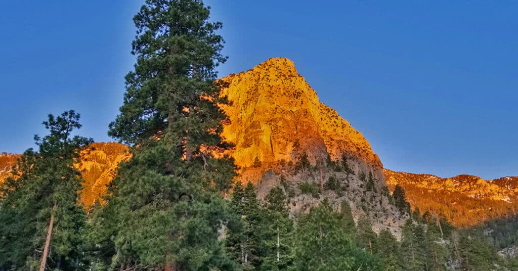
The 8597ft Cathedral Rock is located in the Mt. Charleston Wilderness of Nevada. The trail to the top is only 1.3 miles long, but has tremendous views of Kyle Canyon, Charleston Peak, Lee Peak, Mummy Mountain, Fletcher Peak and Harris Mountain giving Cathedral Rock one of the best views to be had anywhere given a 2.6 mile round trip hike. Route details: 5.5 mi / Approx. 7,713 > 8,585ft; **Excellent Trail** Click image or title above for more…
Angel Peak via Lucky Strike Road | Mt. Charleston Wilderness | Spring Mountains, Nevada
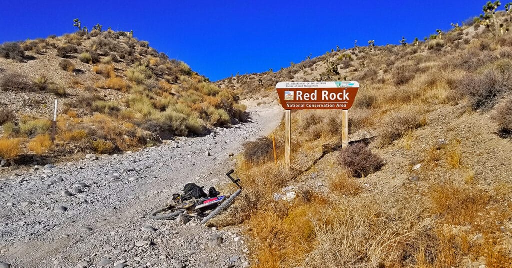
There is a rather wild desert area below Angel Peak that can be accessed through the rugged 4WD Lucky Strike Road. Both ends of Lucky Strike Road contain some class 2 climbing sections, so your vehicle needs to be very sturdy. The 3-mile stretch immediately below Angel Peak can be pretty brutal, being a cross between a 4WD road and an avalanche slope! However, the sunset views of the Sheep Range and Gass Peak on that stretch are spectacular, and at night the Las Vegas Valley lights up like Christmas! This is an experience of Lucky Strike road on a mountain bike. Route details: 17.1 mi / Approx. 4,500 > 8,500ft; **Unpaved Road, Poor Condition** Click image or title above for more…
01 Kyle Canyon Trails Overview | Mt Charleston Wilderness | Spring Mountains, Nevada
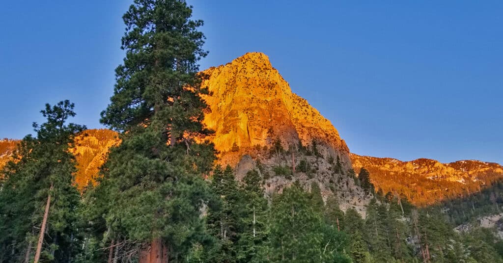
Kyle Canyon is the main jumping off point for hikers, trail runners and mountain climbers in the Mt. Charleston Wilderness. There are two main trailheads: Trail Canyon Trailhead and South Climb Trailhead. The Trail Canyon Trailhead (near Mary Jane Falls) is the starting point for completing the Mt. Charleston Loop from the North. The South Climb Trailhead, at the base of Cathedral Rock, is the starting point for completing the Mt. Charleston Loop from the South. It is also the shortest out-and-back route to the summit of Charleston Peak. Best time of year for adventures here: Early Summer to Mid-Fall. Temperatures at the higher elevations are usually in the mid-70s even when Las Vegas Valley is up to 115 degrees! Expect to navigate snow at other times of the year. Follow thumbnail images to view the details you will need to plan your adventures here. Click image or title above for more…