Eastern Red Rock Canyon Overview, NevadaRidgeline Bordering Red Rock Canyon and Calico & Brownstone BasinsEastern Red Rock Canyon Overview, NevadaGrand StaircaseEastern Red Rock Canyon Overview, NevadaCalico TanksEastern Red Rock Canyon Overview, NevadaLower Calico Hills LoopEastern Red Rock Canyon Overview, NevadaUpper Calico Hills LoopEastern Red Rock Canyon Overview, NevadaTurtlehead Peak Main TrailEastern Red Rock Canyon Overview, NevadaTurtlehead Peak High Ridge RouteEastern Red Rock Canyon Overview, NevadaAsh Canyon to Calico TanksEastern Red Rock Canyon Overview, NevadaCalico Tanks from Guardian Angel PassEastern Red Rock Canyon Overview, NevadaRed Cap Peak Double Slot ApproachEastern Red Rock Canyon Overview, NevadaCalico Tank PeakEastern Red Rock Canyon Overview, NevadaRed Springs Desert Oasis
Dramatic Terrain and Geology Shift on the Red Rock East Ridgeline
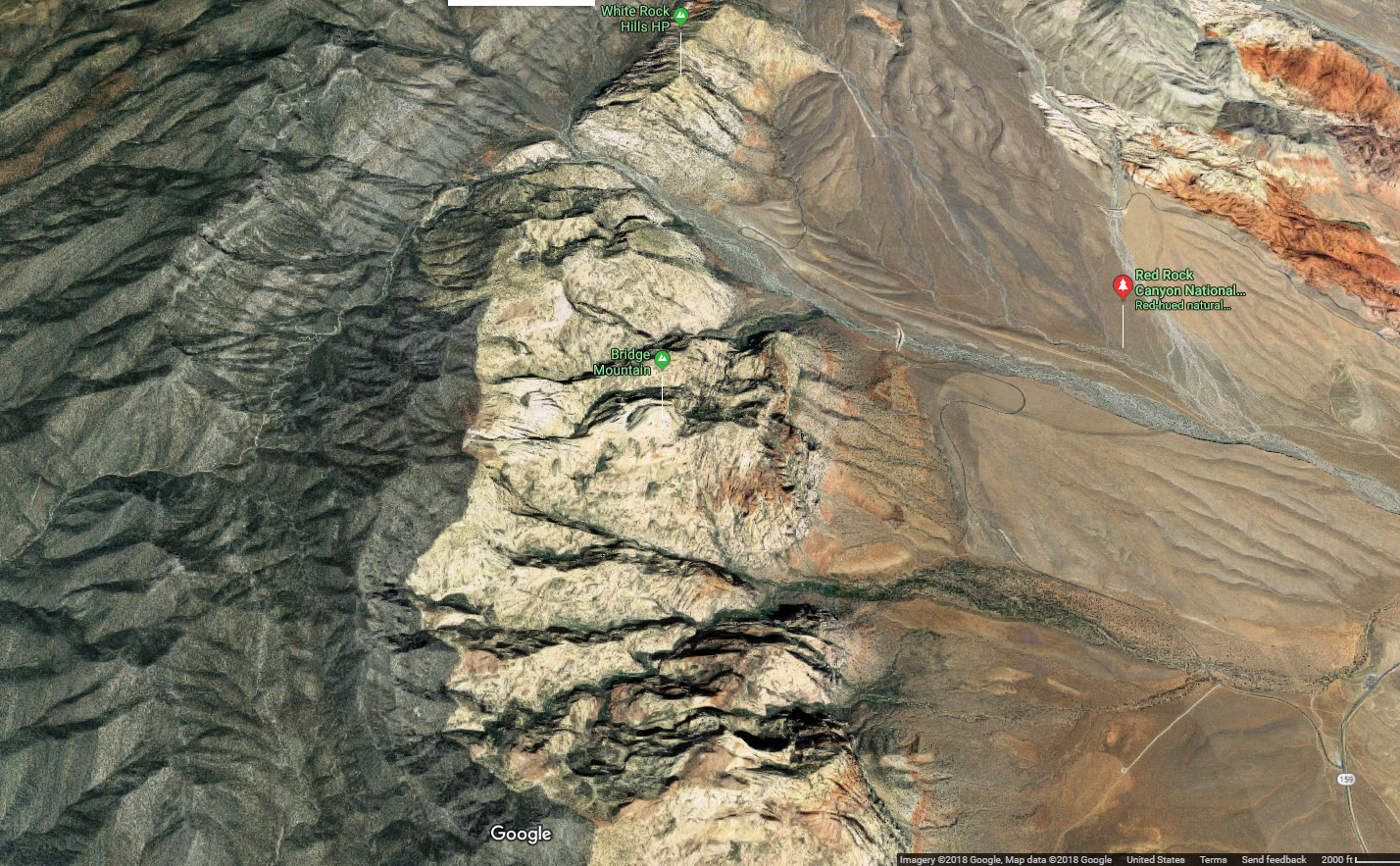
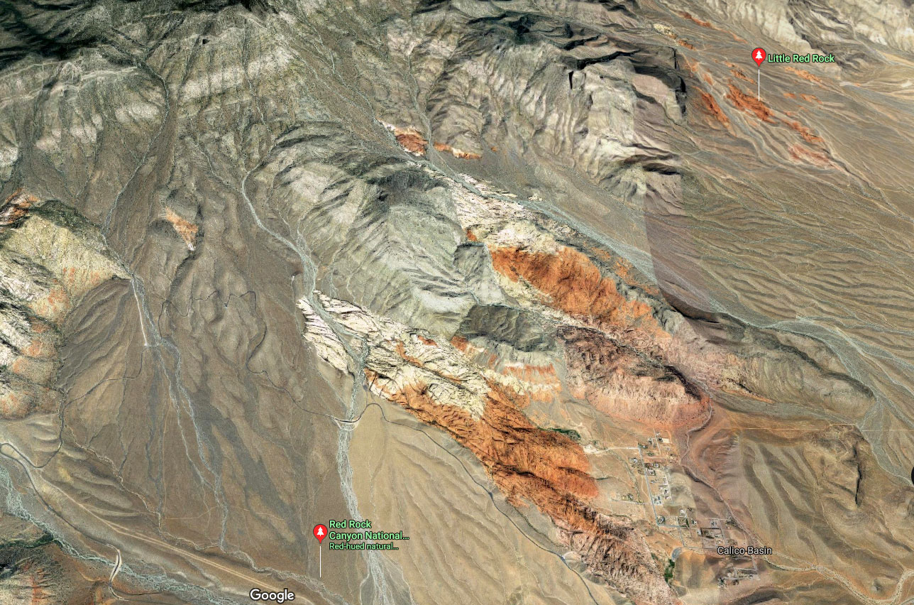
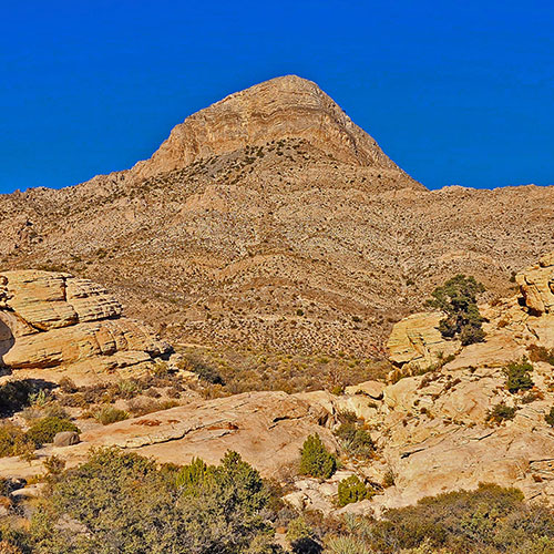
The long ridgeline on the East side of the Red Rock Canyon Scenic Drive can be further divided into a Southern and Northern half.
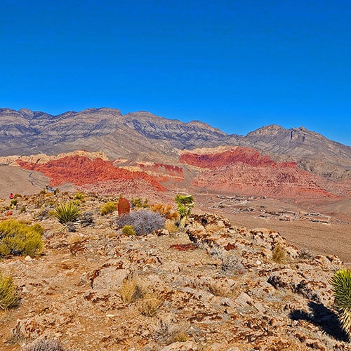
The Southern Half is the Calico Hills
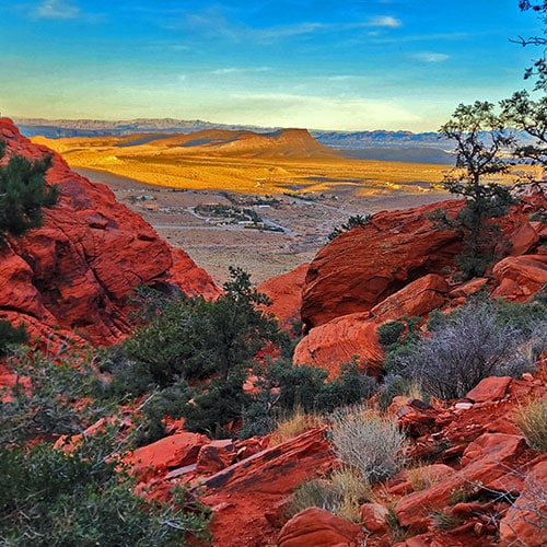
The colorful Calico Hills are frozen sandstone dunes formed in the Jurassic Era. The Aztec Red coloring is caused by iron leeching up through the sand, then oxidizing. Many of these red surfaces have been oxidized to a thin darker outer layer. Ancient Southern Paiutes etched designs through this darker layer to form petroglyphs — two Greek words: Petros (rock) and Glyph (drawing). The meaning of the petroglyph drawings is largely a mystery. Eric Pacl created a fascinating 74-page Master of Arts Degree in Archaeology thesis “Valley of Fire Petroglyphs: A New Perspective On An Old Idea” that attempts to discover the meaning of petroglyphs. There are a number of petroglyph stones scattered throughout the Calico Hills and Graycap Ridgeline. You’ll see images of these stones in the slide guides and video guides on the adventure pages for these areas.
11.3-Mile Hiking Trail Near Scenic Drive Route Great Overview of Red Rock Canyon & Surrounding Wilderness
Summary
Article Name
Eastern Red Rock Canyon Overview, Nevada
Description
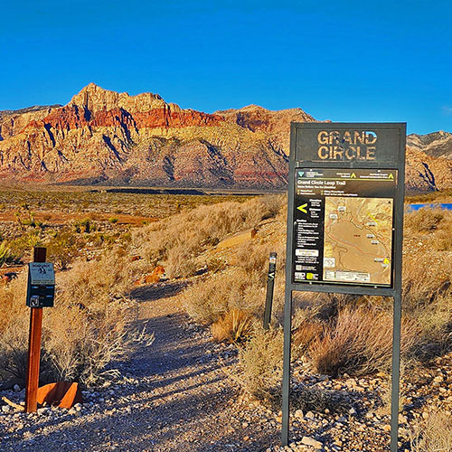
Explore Eastern Red Rock Canyon. Here, we refer to Red Rock East as the East side of the BLM Red Rock Canyon Scenic Drive including the ridgeline between the scenic drive area and the Calico and Brownstone Basins. More specifically, here Red Rock East refers to the Calico Hills, Turtlehead Peak and its ridgeline to the North.
To provide the best experiences, we use technologies like cookies to store and/or access device information. Consenting to these technologies will allow us to process data such as browsing behavior or unique IDs on this site. Not consenting or withdrawing consent, may adversely affect certain features and functions.
Functional
Always active
The technical storage or access is strictly necessary for the legitimate purpose of enabling the use of a specific service explicitly requested by the subscriber or user, or for the sole purpose of carrying out the transmission of a communication over an electronic communications network.
Preferences
The technical storage or access is necessary for the legitimate purpose of storing preferences that are not requested by the subscriber or user.
Statistics
The technical storage or access that is used exclusively for statistical purposes.The technical storage or access that is used exclusively for anonymous statistical purposes. Without a subpoena, voluntary compliance on the part of your Internet Service Provider, or additional records from a third party, information stored or retrieved for this purpose alone cannot usually be used to identify you.
Marketing
The technical storage or access is required to create user profiles to send advertising, or to track the user on a website or across several websites for similar marketing purposes.