
Bridge Mountain in Rainbow Mountain Wilderness, Nevada

Bridge Mountain in the Rainbow Mountain Wilderness of Nevada is one of the most popular rock climbing destinations in the area. Summiting Bridge Mountain is challenging and there is at least one class 3+ exposed stretch. The most customary summit approach begins in the Willow Creek Picnic Area in Red Rock Canyon and ascends Rocky Gap Road to a high point before branching off to the approach trail. Route Details: 17 mi/ 4500 > 7003ft; Some Trails, Some Wilderness. Click image or title above for more…
Juniper Peak Summit | Rainbow Mountain Wilderness, Nevada

If you’re looking to climb your first peak in the Rainbow Mountains, Juniper Peak is a good start. Many of the surrounding peaks dwarf it in comparison: Mt. Wilson; Rainbow Mountain; Bridge Mountain. Experience all the beauty and challenge of a Jurassic Era Aztec red rock peak in the Rainbow Mountains of Nevada. When you are facing Juniper Peak there appear to be 3 routes from the Red Rock Park side: Two narrow chutes to the left and what looks like a more gradual approach to the right. I ended up selecting the middle of these routes – the right chute of the two chutes to the left. Hindsight says that the easier, and likely the more traditional route is the more gradual climb up the slope on the right (just before Pine Creek Canyon). Route Description: 8.7 mi/ 3,909 > 6,109ft; **Some Trails, Some Wilderness** Click image or title above for more…
Middle Oak Creek Trail in Red Rock Canyon, Nevada

The videos on this page are an example of rains and flash floods in the desert. I recorded water cascading down canyon walls in the Rainbow Mountains of Nevada. It wasn’t a major life-threatening flash flood, but enough to get an idea how quickly things can change in the desert during a storm. Route Details: 4 miles RT; 300ft elevation gain; **Mostly wilderness, few trails.** Click image or title above for more…
Mt. Wilson Nevada from First Creek Canyon

Mt. Wilson, Nevada, at 7070ft elevation is the highest mountain in the Rainbow Mountain Wilderness to the West. It’s one of the more challenging Rainbow Mountains to climb due to thick brush at its base and the cliffs above. I’ve seen countless hikers staring at their smart phones trying to follow granular directions (turn this way at this rock or tree…etc.) and totally lost in an elaborate maze of rabbit trails. I myself did this in the beginning, until I finally put my smart phone down and focused on the big picture. Route details: 12 mi/ 3,757 > 7070ft; Some Trails, Mostly Wilderness. Click image or title above for more…
Pine Creek Canyon, Rainbow Mountain Wilderness, Nevada

Pine Creek Canyon is definitely worth a day or two. It is more wild, untouched and the plant life more varied and abundant than in many other areas around Red Rock Park. It’s the second to the last trailhead parking area on the Red Rock Park Scenic Loop Drive. This entire side of Red Rock Park is often overlooked by those who spent their time at the more popular Red Rock Park Visitor Center, the Calico Hills, Turtlehead Peak, upper viewpoint, Willow Springs and Ice Box Canyon. But be prepared for a maze of trails! Route details: 3 mi/ 4000 > 4,500ft; **Some Trails, Some Wilderness** Click image or title above for more…
Rainbow Mountain, Rainbow Mountain Wilderness, Nevada
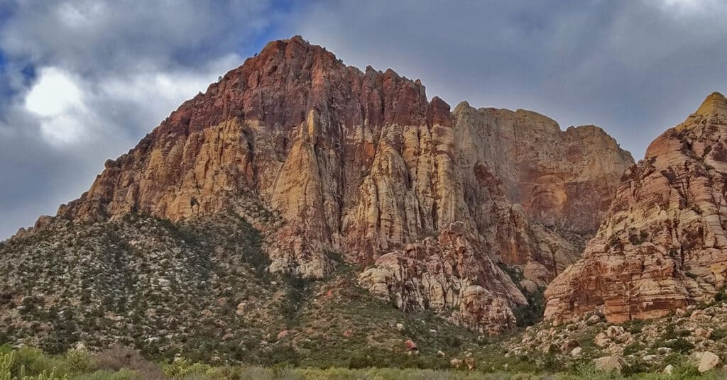
Rainbow Mountain is one of the most difficult mountains to summit in the Rainbow Mountain Wilderness. Its beauty is in part due to the distinct Rainbow effect of reds and browns along with the massive vertical conical shaped cliff feature to the right: Rainbow Wall. Click image or title above for more…
Bonnie Springs Ranch | Red Rock Canyon
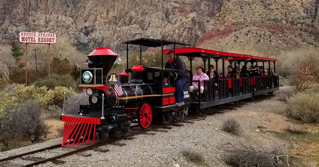
In mid-March of 2019, after about 45 years of operation, Bonnie Springs Ranch and it’s Old Nevada replica mining town, just West of Red Rock National Park, closed down. We feature Bonnie Springs Ranch here not because it is a hiking destination, but rather a long-time fixture in Red Rock Canyon. Click image or title above for more…
La Madre Mountain Western Approach from Red Rock Canyon NCA | La Madre Mountains Wilderness, Nevada
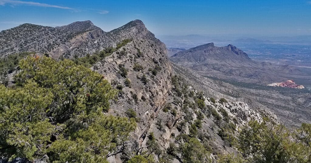
This is my favorite approach to La Madre Mountain due to the beauty of the terrain and the scenery. You begin in the scenic Willow Springs area (ample parking available), circle around between the Keystone Thrust Cliffs and White Mountain. Head up through the La Madre Springs area, pass an old Miner’s Cabin, then ascend to the top of the Keystone Thrust (the cliff system at the back of Red Rock Park). At the top take a right and travel along the very top of the Keystone Thrust ridge to La Madre Mountain. Route Details: 28 mi / 4306-8000ft; *Wilderness, No Trail* Click image or title above for more…
La Madre Mountain Southern Approach from Red Rock Canyon | La Madre Mountains Wilderness, Nevada
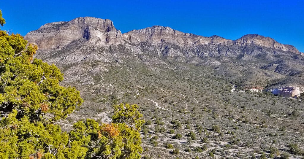
La Madre Mountain is 8,154ft in elevation. It is the highest central feature of the Keystone Thrust, the cliff system that spans the rear area of Red Rock Park in Nevada. The La Madre Mountain Southern approach, from a distance, looks impossible as you’re facing a sheer cliff wall between 1000 and 2000 feet high. However, as you approach the base of the cliff from Calico Basin it’s evident that there is a passage between the two peaks. The summit view is amazing featuring Las Vegas Valley with Lake Mead across and to the East, Gass Peak and the Sheep Range to the North, spectacular views of Mt. Charleston Wilderness to the East and the awesome total expanse of Red Rock Canyon National Conservation Area and Calico Basin to the Southwest. Route details: 22 mi / 4306-8000ft; *Wilderness, No Trail* Click image or title above for more…
Red Springs Desert Oasis | Calico Basin | Red Rock Canyon National Conservation Area, Nevada
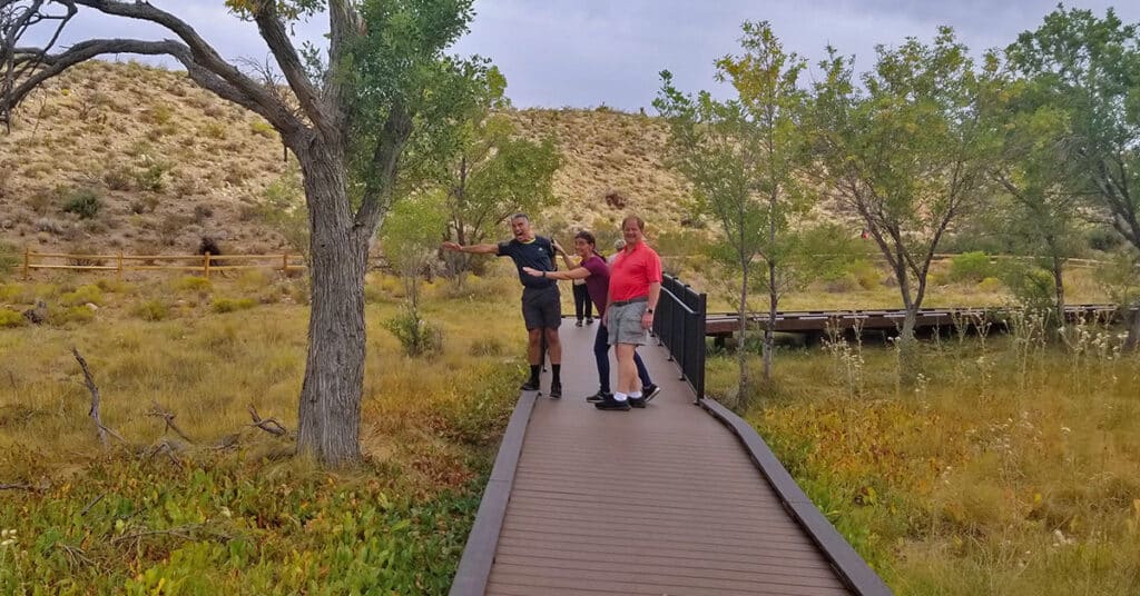
What makes Red Springs Desert Oasis so amazing is the lush, spring-fed vegetation in the midst of a surrounding desert. And, there’s a half-mile board walk, wheel-chair accessible, that brings the entire oasis within easy reach. Both the elderly and families with toddlers can easily enjoy this desert oasis experience. If you’re a serious walker, the boardwalk makes a great alternative to walking on boring asphalt neighborhood roads. You could do laps and extend your walk for a few miles. Route details: 1 mile board walk loop. Click image or title above for more…