
Calico Hills Overview | Red Rock Canyon, Nevada

The Calico Hills are the Jurassic Era sandstone hills that form the border between the Red Rock Canyon Scenic Drive area to the West and the Calico and Brownstone Basins to the East. There are many hiking routes around and up to the summit of the Calico Hills. Experience colorful sandstone rock gardens with cacti, desert holly, junipers and pinyon pines. The higher areas have spectacular views. There are exciting adventures for hikers and rock climbers of all experience levels. Click the image or title above for details.
Damsel Peak End-To-End | Brownstone Basin, Nevada

Ascend the SE slope of Damsel Peak, then traverse from the south to the North summit. Finally, return through the Brownstone Basin. Click the image or title above for details.
Calico Tanks from Guardian Angel Pass | Red Rock Canyon NCA, Nevada

This incredible adventure through an isolated sandstone wilderness runs from the summit of Guardian Angel Pass to the Calico Tanks. The route forms a huge loop of the entire length of the Calico Hills in Red Rock Canyon, Nevada beginning and ending at the Red Spring Desert Oasis in the Calico Basin. Click the image or title above for details.
Gateway Canyon & Gray Cap Ridge NW | Calico Basin, Nevada

Wander through a unique, hidden world in the Northwest area of Gray Cap Ridge. Gateway Canyon will whirl you around and by the time you emerge into the Northwest area of Gray Cap Ridge you may wonder if you’d landed in another dimension! Finding a non-vertical way down into the Brownstone Basin can be a real puzzle, but great fun. Click the image or title above for details.
Red Cap Peak Summit | Red Rock Canyon NCA, Nevada

Red Cap Peak, also referred to as “Little Turtlehead”, is a Jurassic Era Sandstone Summit in Red Rock Canyon National Conservation Area, Nevada. This adventure begins at the Kraft Mountain Trailhead in the Calico Basin and navigates through Ash Canyon before summiting the peak. The best time of year for this adventure is Spring and Fall. Click the title or image above for more details.
Gray Cap Ridge Brownstone Basin Loop | La Madre Mountains Wilderness, Nevada
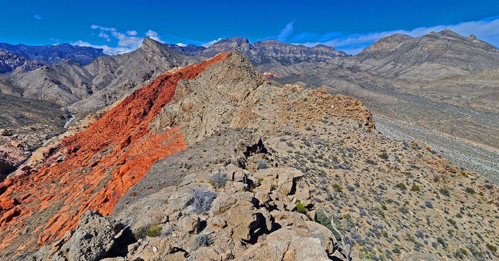
Beginning at Gene’s Trailhead in the Calico Basin, traverse most of Gray Cap Ridgeline from the SE Summit, then return to the Calico Basin by way of the Brownstone Trail and Road. Best time of year for this adventure is Spring or Fall. Click the image or title above for all the details.
Gray Cap Ridge Southeast Summit | La Madre Mountains Wilderness, Nevada
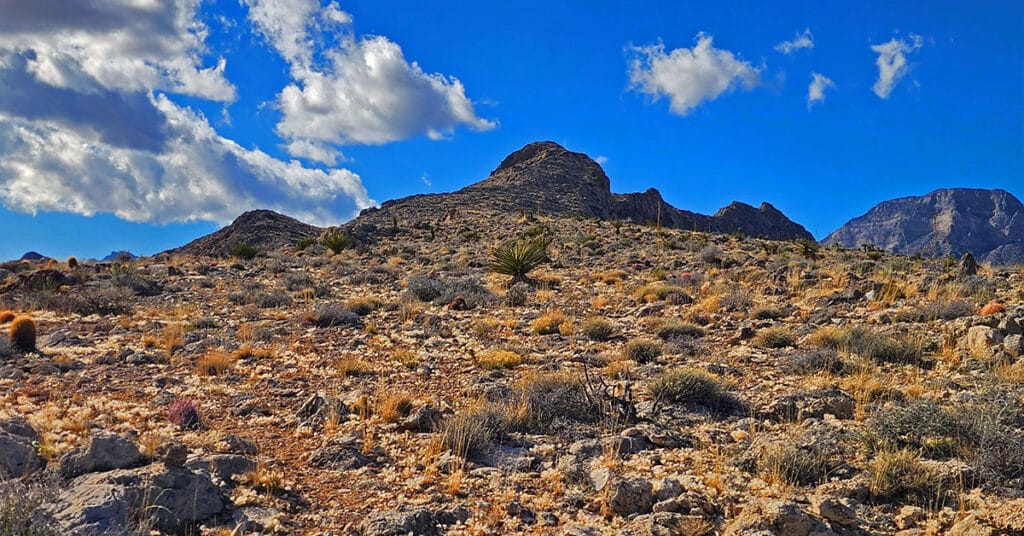
Gray Cap Ridge Southeast Summit in Nevada is an easy hike with spectacular views. Trails get you nearly to the summit. Hike begins at Gene’s Trailhead in the Calico Basin and navigates to the summit in the La Madre Mountains Wilderness. Best time of year for this adventure is Spring or Fall. Click the image or title above for more details.
Brownstone Trail | Calico Basin | Brownstone Basin | La Madre Mountains Wilderness, Nevada
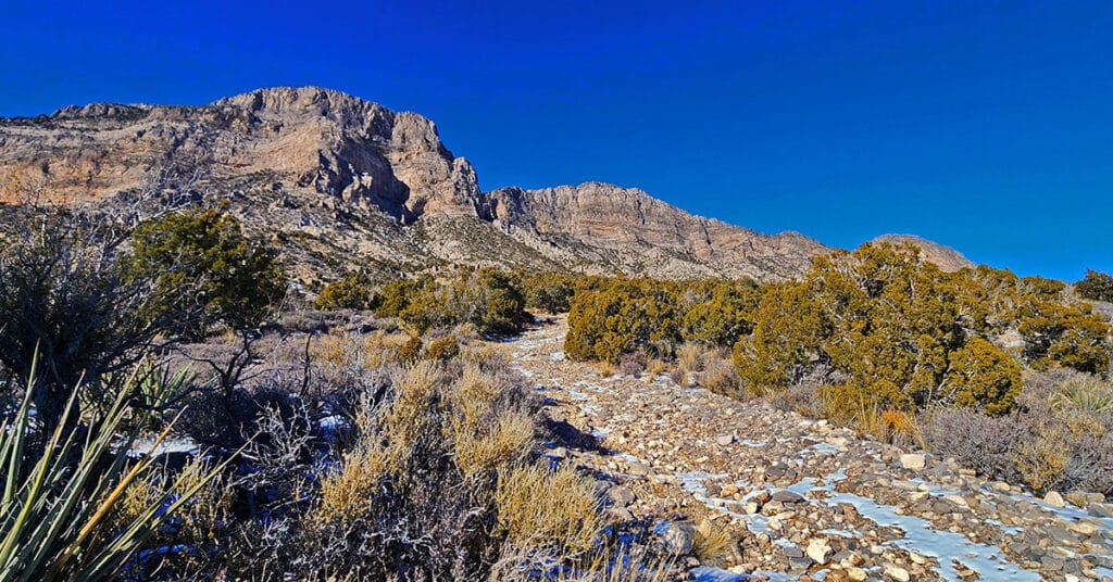
The Brownstone Trail adventure spans Nevada’s Calico Basin, Brownstone Basin and La Madre Mountains Wilderness. Along the way, there are spectacular views of the La Madre Mountains Ridgeline, Damsel Peak, the Las Vegas Valley and Strip and the Jurassic Era calico sandstone Gray Cap Ridge. Click the image or title above for more detail.
Calico Basin Daily Workout Trails | Calico Basin, Nevada
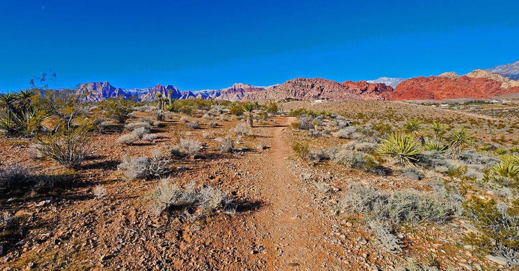
This extensive network of trails in the lower Calico Basin, Nevada, is an awesome setting for daily conditioning workouts whether your sport is hiking, trail running or mountain biking. The trail system is just a few miles from metropolitan Las Vegas, making access convenient. Work out year-round in a natural setting on a healthy running surface. Build strength, endurance, flexibility and agility! Click the image or title above for more details.
Damsel Peak Loop | Brownstone Basin, Nevada
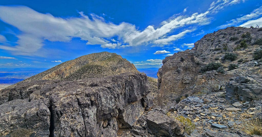
This complete loop of Damsel Peak’s base in the Brownstone Basin, Nevada searches for previously unknown summit routes to the summit.