
Acastus Trail | Mt Charleston Wilderness | Spring Mountains, Nevada
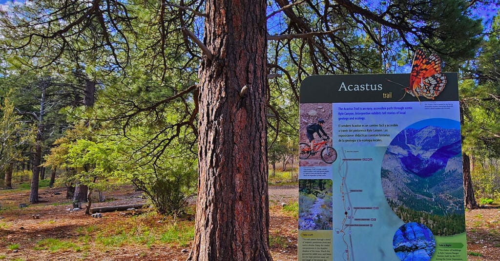
The Acastus Trail in The Mt Charleston Wilderness, Spring Mountains, Nevada features the nature, history and geology of the area. Many attractive interpretive signs along the way, each with a bench for rest and reflection, invite hikers to slow down, pause, take in the environment and in so doing deepen consciousness and awareness of The Spring Mountains and one’s place within that setting. Walking The Acastus Trail can be somewhat like making a spiritual pilgrimage.
Eagles Nest Loop | Mt Charleston Wilderness | Spring Mountains, Nevada
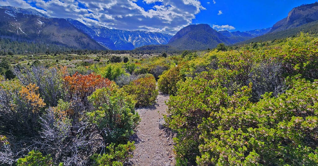
The Eagles Nest Loop in Nevada’s Mt Charleston Wilderness runs along the South base of Fletcher Peak offering spectacular views of Kyle Canyon! Click the image or title above for details.
Fletcher Canyon Trail | Mt Charleston Wilderness, Nevada
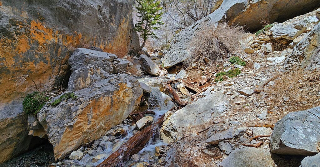
Fletcher Canyon Trail in The Mt. Charleston Wilderness, Spring Mountains, Nevada is an easy 4.2-mile round trip hike along a creek in a beautiful forested area with spectacular mountain views. It’s a great trail for altitude conditioning. Beyond the trail’s end may be a possible extreme adventure to Fletcher Peak summit.
Fletcher Canyon Trails Overview | Mt Charleston Wilderness, Nevada
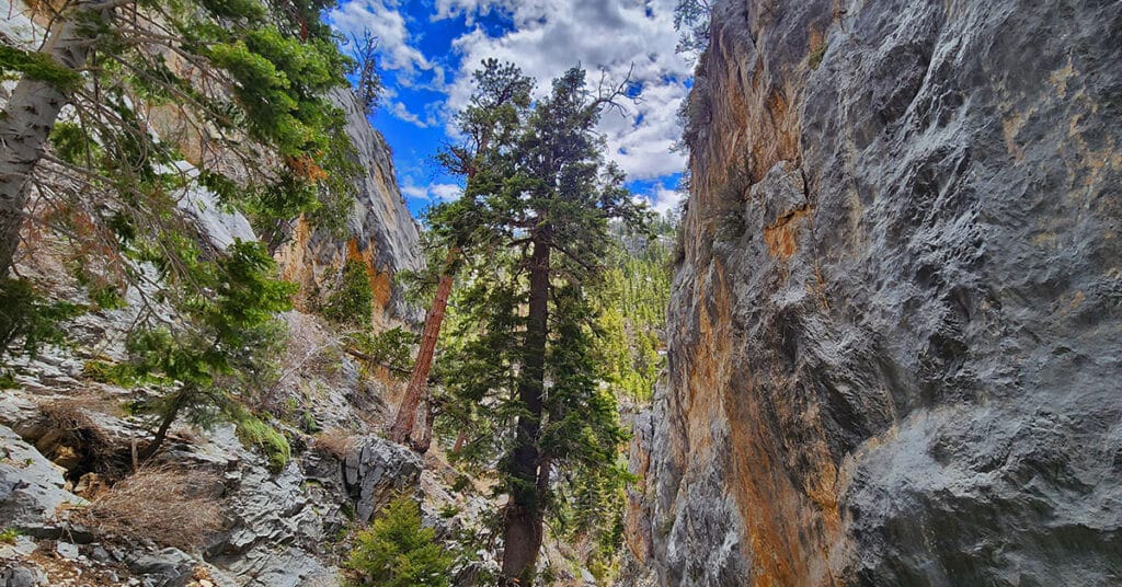
Trails Accessed from The Fletcher Canyon Trailhead in The Mt. Charleston Wilderness, Nevada include Fletcher Canyon Trail; Eagle’s Nest Loop; Acastus Trail and Escarpment Trail. These are great introductory trails to the Mt. Charleston Wilderness and excellent initial altitude conditioning trails.
Mary Jane Falls | Mt Charleston Wilderness, Nevada
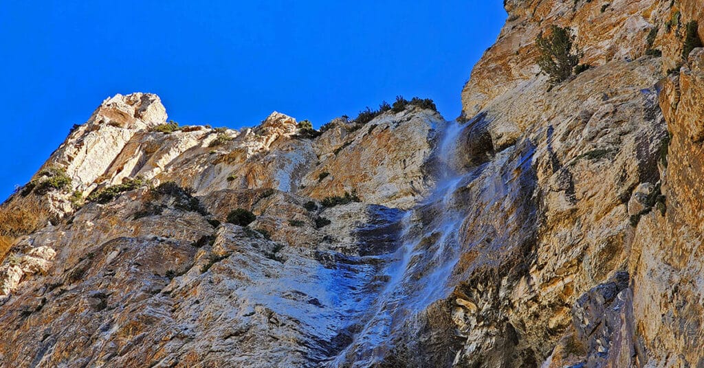
Mary Jane Falls is a moderate 3.2-mile round trip hike in Nevada’s Mt. Charleston Wilderness from a convenient trailhead just beyond Charleston Village. To see the falls at their best, visit them in mid-to-late Spring. Experience spectacular views of Kyle Canyon along the way, and don’t miss visiting the secret cave just beyond the falls.
Far North Upper Crest Ridgeline | Rainbow Mountain Wilderness, Nevada
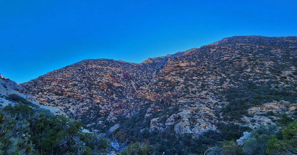
This is a circuit composed of the Northernmost 3 miles of the Rainbow Mountains Upper Crest Ridgeline. The circuit begins at the Willow Spring Area of Red Rock Canyon National Conservation Area, Nevada. From there, ascent the ridge from its Northernmost point, head South, then return to Willow Spring via Rocky Gap Road.
Hiking with Dogs | Mt Charleston Wilderness | Spring Mountains, Nevada
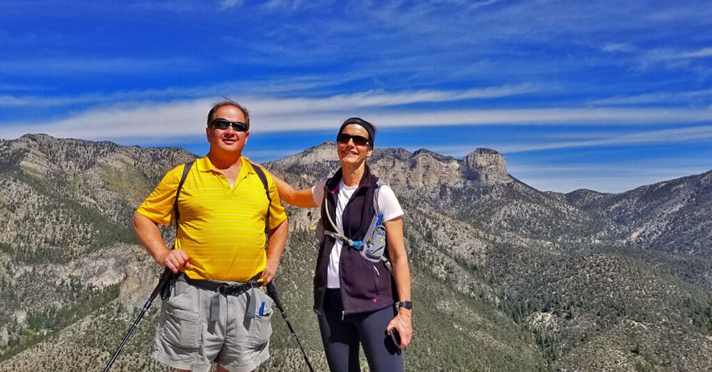
Two dog experts, Pug Society rescue owners and avid hikers give their best wisdom and tips for hiking with dogs. Click image or title above for more…
Spring Mountains Hiking Strategy | Trail Running and Hiking Tips
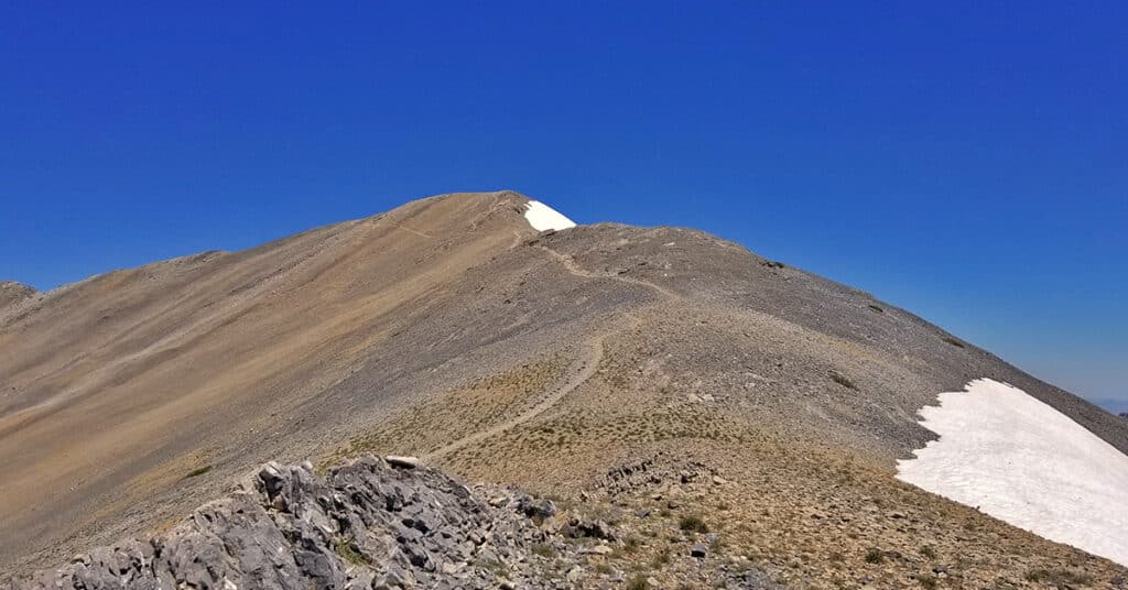
If you’re looking to summit 11,918ft Charleston Peak but are starting at ground zero in terms of your conditioning, here is a strategy to develop the conditioning you will need to reach your goal. This graded hiking strategy takes into account developing the necessary endurance, altitude conditioning and strength, while having fun throughout. Click image or title above for more…
Potosi Mountain Southern Approach | Spring Mountains Wilderness | Nevada
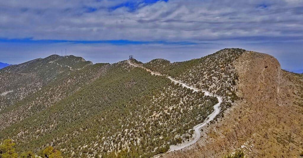
The Southern approach to Potosi Mountain is nothing less than a huge endurance test. Though it’s only 14 miles out and back from my starting point at the “warning rock” parking area, and you’re on a pretty good road all the way to the summit, the angle of incline is the challenge. Think streets of San Francisco, only instead of a one block steep incline you’re looking at half-mile sections of incredibly steep incline. The incline is so steep in places that you’re gaining nearly one foot elevation gain per stride! One note: your total ascent is between 3,500 and 4,000ft. Route details: 14 mi RT/ 4,700ft > 8,500ft; **Paved and Unpaved Maintenance Roads** Click image or title above for more…
Potosi Mountain | Northern Hills Exploration | Spring Mountains, Nevada
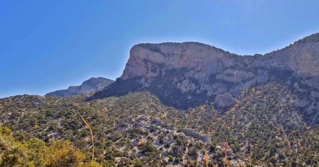
During this adventure, though I do not ascend to the summit, I scope out the Northwestern area of Potosi Mountain and discover a few alternate summit approaches. Potosi Mountain, Elevation 8,517ft, is the last high point along the horizon in the Spring Mountains as you’re viewing the skyline from Las Vegas. From Potosi Mountain’s 8,517ft summit, populated with a number of communications towers, you can look across the entire stretch of the Rainbow Mountains. Route details: 16 mi RT from Hwy 160/ 5,500ft > 7,200ft; **Unpaved Road then Wilderness (no trails)** Click image or title above for more…